Property Record
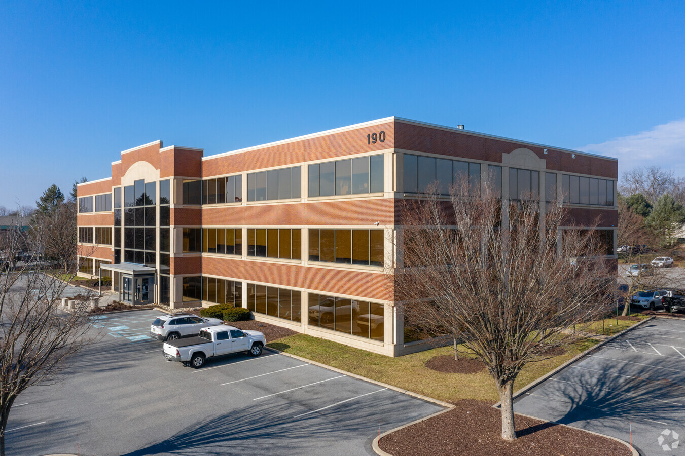
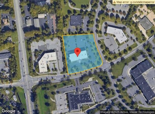
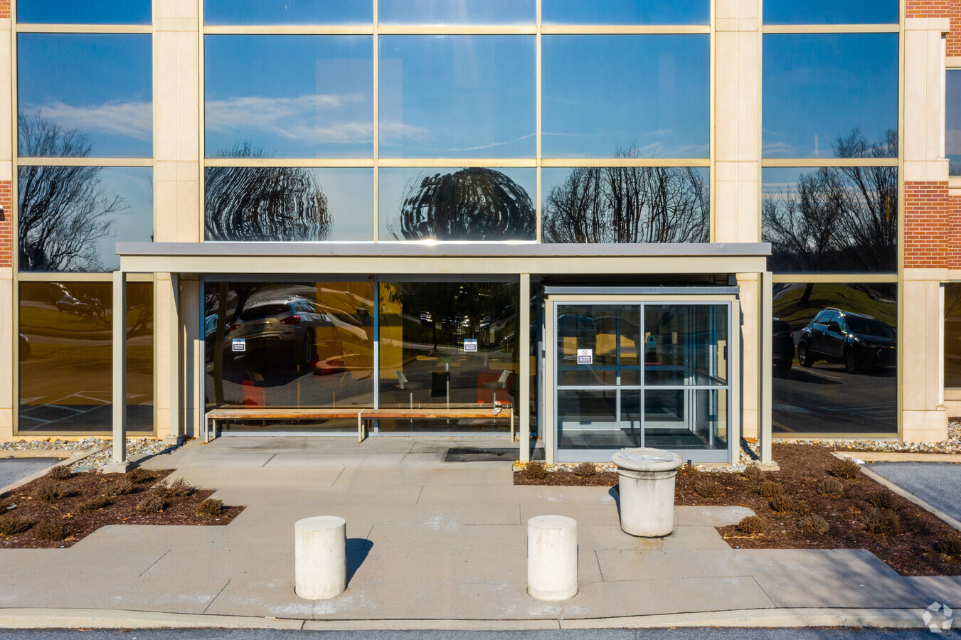
190 Brodhead Rd, Bethlehem, PA 18017
Current Lease Availabilities
NEARBY LISTINGS FOR SALE OR LEASE
Property Detail
190 Brodhead Rd
M6-15-43-0214
Lehigh Valley Industrial Park Iv
Officebuilding
Northampton
X
Pennsylvania
42095C0242E
3.73 AC
2024
Lehigh Valley
2024
Philadelphia
017704
Allentown-Bethlehem-Easton, PA-NJ
54,930 SF
DEMOGRAPHICS near 190 Brodhead Rd
1 Mile
3 Mile
5 Mile
2024 Total Population
4,765
46,155
157,678
2029 Population
4,774
46,411
158,578
Pop Growth 2024-2029
+ 0.19%
+ 0.55%
+ 0.57%
Average Age
48
45
41
2024 Total Households
2,076
18,973
60,821
HH Growth 2024-2029
+ 0.34%
+ 0.64%
+ 0.58%
Median Household Inc
$82,222
$87,430
$72,071
Avg Household Size
2.30
2.40
2.40
2024 Avg HH Vehicles
2.00
2.00
2.00
Median Home Value
$326,492
$283,593
$248,838
Median Year Built
1995
1974
1966
Nearby Places
- Restaurants
- Banks
- Shops
- Fitness
- Groceries
PUBLIC TRANSPORTATION
AIRPORT
Lehigh Valley International
DRIVE
WALK
Distance
Lehigh Valley International
10 min
4.5 mi
Freight Ports
Port of Philadelphia
DRIVE
WALK
Distance
Port of Philadelphia
92 min
69.8 mi
Nearby Properties
Address
Land Use
TOTAL SIZE
Lot Size
Zoning
Address
Land Use
TOTAL SIZE
Lot Size
Zoning
649,498 SF
22.51 AC
I
Address
Land Use
TOTAL SIZE
Lot Size
Zoning
13,164 SF
27.89 AC
RT
Address
Land Use
TOTAL SIZE
Lot Size
Zoning
605,906 SF
94.28 AC
A
Address
Land Use
TOTAL SIZE
Lot Size
Zoning
509,445 SF
43.15 AC
PIO
Address
Land Use
TOTAL SIZE
Lot Size
Zoning
144,692 SF
3.51 AC
I
Address
Land Use
TOTAL SIZE
Lot Size
Zoning
302,378 SF
83.53 AC
A
Address
Land Use
TOTAL SIZE
Lot Size
Zoning
104,379 SF
22.66 AC
CS
Address
Land Use
TOTAL SIZE
Lot Size
Zoning
164,451 SF
15.06 AC
PI
Address
Land Use
TOTAL SIZE
Lot Size
Zoning
452,012 SF
40.39 AC
PC
Address
Land Use
TOTAL SIZE
Lot Size
Zoning
276,484 SF
31.19 AC
A
Address
Land Use
TOTAL SIZE
Lot Size
Zoning
119,618 SF
19.84 AC
RR
Address
Land Use
TOTAL SIZE
Lot Size
Zoning
11,356 SF
RG
Address
Land Use
TOTAL SIZE
Lot Size
Zoning
57,635 SF
2.69 AC
I
Address
Land Use
TOTAL SIZE
Lot Size
Zoning
62,433 SF
4.21 AC
I
Address
Land Use
TOTAL SIZE
Lot Size
Zoning
298,660 SF
37.43 AC
PIBD
Address
Land Use
TOTAL SIZE
Lot Size
Zoning
533,165 SF
54.66 AC
LI/BP
Address
Land Use
TOTAL SIZE
Lot Size
Zoning
92,428 SF
3.88 AC
CS
Address
Land Use
TOTAL SIZE
Lot Size
Zoning
524,948 SF
35.66 AC
LI
Address
Land Use
TOTAL SIZE
Lot Size
Zoning
2,726 SF
13.40 AC
RG
Address
Land Use
TOTAL SIZE
Lot Size
Zoning
249,872 SF
41.83 AC
PC
Address
Land Use
TOTAL SIZE
Lot Size
Zoning
319,788 SF
60 AC
IN
Address
Land Use
TOTAL SIZE
Lot Size
Zoning
512,902 SF
35.18 AC
LI
Address
Land Use
TOTAL SIZE
Lot Size
Zoning
73,432 SF
3 AC
CS
Address
Land Use
TOTAL SIZE
Lot Size
Zoning
601,903 SF
41.68 AC
LI
Address
Land Use
TOTAL SIZE
Lot Size
Zoning
63,711 SF
31.56 AC
RR
Address
Land Use
TOTAL SIZE
Lot Size
Zoning
50,036 SF
1.03 AC
I
Address
Land Use
TOTAL SIZE
Lot Size
Zoning
539,133 SF
47 AC
LI
Address
Land Use
TOTAL SIZE
Lot Size
Zoning
1,456 SF
29.36 AC
A
Address
Land Use
TOTAL SIZE
Lot Size
Zoning
437,612 SF
42.26 AC
LI/BP
Address
Land Use
TOTAL SIZE
Lot Size
Zoning
36,005 SF
4 AC
I
The World's #1 Commercial Real Estate Marketplace
Connect with us
© 2025 CoStar Group
The information above has been obtained from sources believed reliable. While we do not doubt its accuracy we have not verified it and make no guarantee, warranty or representation about it. It is your responsibility to independently confirm its accuracy and completeness. Any projections, opinions, assumptions, or estimates used are for example only and do not represent the current or future performance of the property. The value of this transaction to you depends on tax and other factors which should be evaluated by your tax, financial, and legal advisors. You and your advisors should conduct a careful, independent investigation of the property to determine to your satisfaction the suitability of the property for your needs.