Property Record
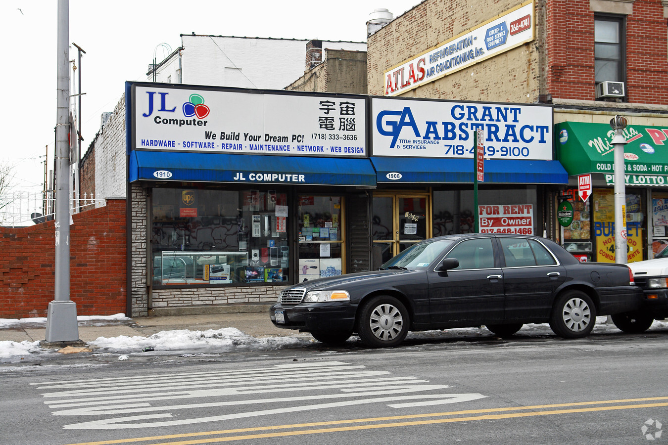
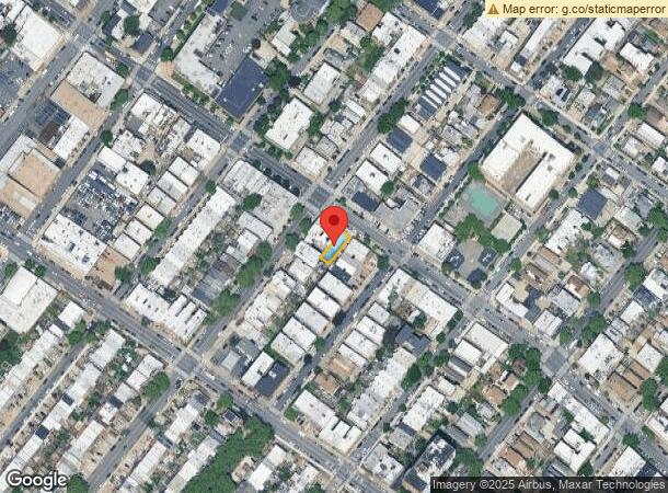
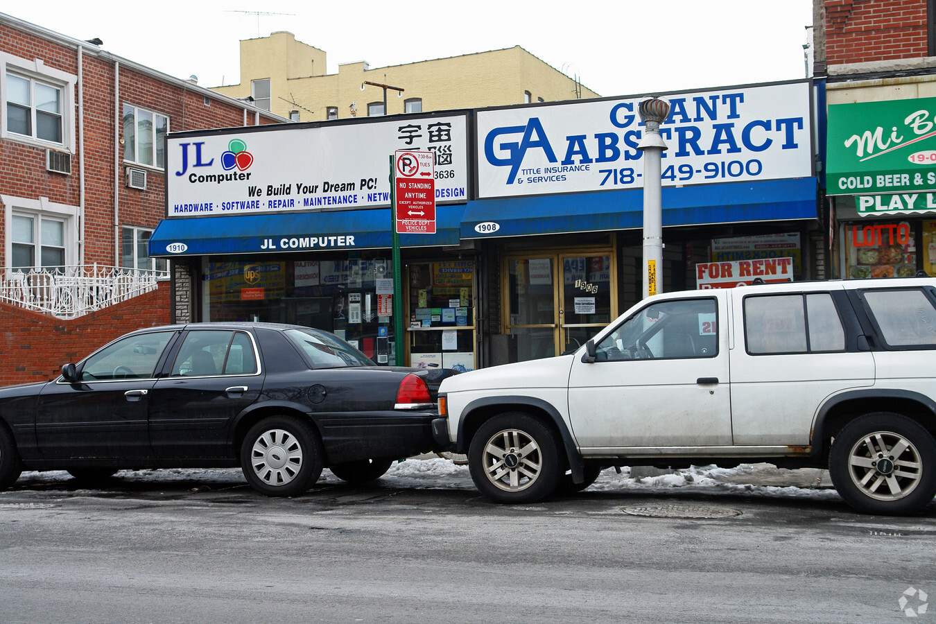
1910 Bath Ave, Brooklyn, NY 11214
NEARBY LISTINGS FOR SALE OR LEASE
Property Detail
1910 Bath Ave
06439-0031
DOCID-2023072400464001
Storebuilding
Kings
X
New York
3604970332F
31
2024
0.06 AC
2024
South Brooklyn
028200
Long Island (New York)
1,650 SF
New York-Jersey City-White Plains, NY-NJ
DEMOGRAPHICS near 1910 Bath Ave
1 Mile
3 Mile
5 Mile
2024 Total Population
91,313
753,933
1,352,415
2029 Population
83,298
699,210
1,264,485
Pop Growth 2024-2029
(8.78%)
(7.26%)
(6.50%)
Average Age
41
40
40
2024 Total Households
30,531
255,436
474,257
HH Growth 2024-2029
(9.40%)
(7.55%)
(6.77%)
Median Household Inc
$61,455
$58,572
$67,232
Avg Household Size
2.90
2.80
2.70
2024 Avg HH Vehicles
1.00
1.00
1.00
Median Home Value
$923,159
$846,460
$785,702
Median Year Built
1947
1948
1948
Nearby Places
- Restaurants
- Banks
- Shops
- Fitness
- Groceries
PUBLIC TRANSPORTATION
TRANSIT/SUBWAY
20 Avenue (D,M Line) (D - New York MTA Subway (The Subway), M - New York MTA Subway (The Subway))
DRIVE
WALK
Distance
20 Avenue (D,M Line) (D - New York MTA Subway (The Subway), M - New York MTA Subway (The Subway))
1 min
7 min
0.4 mi
18 Avenue (D,M Line) (D - New York MTA Subway (The Subway), M - New York MTA Subway (The Subway))
DRIVE
WALK
Distance
18 Avenue (D,M Line) (D - New York MTA Subway (The Subway), M - New York MTA Subway (The Subway))
1 min
9 min
0.5 mi
Bay Parkway (D,M Line) (D - New York MTA Subway (The Subway), M - New York MTA Subway (The Subway))
DRIVE
WALK
Distance
Bay Parkway (D,M Line) (D - New York MTA Subway (The Subway), M - New York MTA Subway (The Subway))
1 min
13 min
0.7 mi
79 Street (D,M Line) (D - New York MTA Subway (The Subway), M - New York MTA Subway (The Subway))
DRIVE
WALK
Distance
79 Street (D,M Line) (D - New York MTA Subway (The Subway), M - New York MTA Subway (The Subway))
3 min
16 min
0.9 mi
COMMUTER RAIL
Clifton (Staten Island Railway - New York MTA Subway (The Subway))
DRIVE
WALK
Distance
Clifton (Staten Island Railway - New York MTA Subway (The Subway))
13 min
6.5 mi
Stapleton (Staten Island Railway - New York MTA Subway (The Subway))
DRIVE
WALK
Distance
Stapleton (Staten Island Railway - New York MTA Subway (The Subway))
15 min
7.2 mi
AIRPORT
John F Kennedy International
DRIVE
WALK
Distance
John F Kennedy International
25 min
17.8 mi
Laguardia
DRIVE
WALK
Distance
Laguardia
32 min
18.3 mi
Newark Liberty International
DRIVE
WALK
Distance
Newark Liberty International
34 min
21.1 mi
Freight Ports
NY - Red Hook Container Terminal
DRIVE
WALK
Distance
NY - Red Hook Container Terminal
13 min
7.2 mi
SALE & LEASE HISTORY
LISTING DATE
SALE/LEASE

Sep 25, 2016
For Lease
Mar 24, 2020
For Lease
Nearby Properties
Address
Land Use
TOTAL SIZE
Lot Size
Zoning
Address
Land Use
TOTAL SIZE
Lot Size
Zoning
1,545,708 SF
170.96 AC
R4
Address
Land Use
TOTAL SIZE
Lot Size
Zoning
1,066,042 SF
10.45 AC
R4
Address
Land Use
TOTAL SIZE
Lot Size
Zoning
965,600 SF
6.65 AC
R5
Address
Land Use
TOTAL SIZE
Lot Size
Zoning
335,800 SF
1.51 AC
R6
Address
Land Use
TOTAL SIZE
Lot Size
Zoning
54.78 AC
PARK
Address
Land Use
TOTAL SIZE
Lot Size
Zoning
838,567 SF
5.11 AC
R6
Address
Land Use
TOTAL SIZE
Lot Size
Zoning
236,591 SF
207.66 AC
PARKUS
Address
Land Use
TOTAL SIZE
Lot Size
Zoning
286,000 SF
12.63 AC
PARK
Address
Land Use
TOTAL SIZE
Lot Size
Zoning
226,429 SF
1.52 AC
R5B
Address
Land Use
TOTAL SIZE
Lot Size
Zoning
301,400 SF
22.27 AC
M3-1
Address
Land Use
TOTAL SIZE
Lot Size
Zoning
409,919 SF
1.60 AC
R7-3
Address
Land Use
TOTAL SIZE
Lot Size
Zoning
259,823 SF
11.47 AC
M1-1
Address
Land Use
TOTAL SIZE
Lot Size
Zoning
59,063 SF
21.56 AC
PARK
Address
Land Use
TOTAL SIZE
Lot Size
Zoning
209,346 SF
18.29 AC
PARK
Address
Land Use
TOTAL SIZE
Lot Size
Zoning
702,770 SF
4.47 AC
R6
Address
Land Use
TOTAL SIZE
Lot Size
Zoning
846,056 SF
20.71 AC
R5
Address
Land Use
TOTAL SIZE
Lot Size
Zoning
152,440 SF
23.07 AC
R4B
Address
Land Use
TOTAL SIZE
Lot Size
Zoning
356,000 SF
8.19 AC
R5
Address
Land Use
TOTAL SIZE
Lot Size
Zoning
43,068 SF
216.83 AC
PARK
Address
Land Use
TOTAL SIZE
Lot Size
Zoning
514,015 SF
6.22 AC
R5
Address
Land Use
TOTAL SIZE
Lot Size
Zoning
382,162 SF
1.65 AC
R7A
Address
Land Use
TOTAL SIZE
Lot Size
Zoning
221,704 SF
0.82 AC
R5B
Address
Land Use
TOTAL SIZE
Lot Size
Zoning
128,170 SF
0.87 AC
R7A
Address
Land Use
TOTAL SIZE
Lot Size
Zoning
470,000 SF
3.39 AC
R6
Address
Land Use
TOTAL SIZE
Lot Size
Zoning
105,328 SF
0.11 AC
M1-6
Address
Land Use
TOTAL SIZE
Lot Size
Zoning
16,570 SF
240.82 AC
PARK
Address
Land Use
TOTAL SIZE
Lot Size
Zoning
134,650 SF
0.83 AC
R6
Address
Land Use
TOTAL SIZE
Lot Size
Zoning
219,973 SF
0.39 AC
R8
Address
Land Use
TOTAL SIZE
Lot Size
Zoning
245,590 SF
2.03 AC
R7X
Address
Land Use
TOTAL SIZE
Lot Size
Zoning
60,288 SF
0.76 AC
R5
The World's #1 Commercial Real Estate Marketplace
Connect with us
© 2025 CoStar Group
The information above has been obtained from sources believed reliable. While we do not doubt its accuracy we have not verified it and make no guarantee, warranty or representation about it. It is your responsibility to independently confirm its accuracy and completeness. Any projections, opinions, assumptions, or estimates used are for example only and do not represent the current or future performance of the property. The value of this transaction to you depends on tax and other factors which should be evaluated by your tax, financial, and legal advisors. You and your advisors should conduct a careful, independent investigation of the property to determine to your satisfaction the suitability of the property for your needs.