Property Record
1920 N 2200 W, Salt Lake City, UT 84116


NEARBY LISTINGS FOR SALE OR LEASE
Property Detail
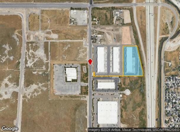
1920 N 2200 W
08-21-226-029-0000
BEG S 00^0810 E 382.96 FT & S 89^5336 W 495.80 FT & S 09^0509 E 131.03 FT & S 13^2308 E 283.56 FT FR NE COR OFSEC 21, T1S, R1W, SLM; S 13^2308 E 180.97 FT; S 12^3640 E 356.26 FT; S 0^3312 E 80.25 FT; S 89^5434 W 995.46 FT;N 0^0730 W 80 FT; N 89^5434
Multipleuses
Salt Lake
X
Utah
49011C0525E
4.83 AC
2023
Airport
2023
Salt Lake City
980000
Salt Lake City, UT
59,495 SF
DEMOGRAPHICS near 1920 N 2200 W
1 Mile
3 Mile
5 Mile
2024 Total Population
4,199
38,473
127,487
2029 Population
4,213
39,382
131,976
Pop Growth 2024-2029
+ 0.33%
+ 2.36%
+ 3.52%
Average Age
33
35
36
2024 Total Households
1,071
12,884
50,168
HH Growth 2024-2029
+ 0.09%
+ 2.46%
+ 3.92%
Median Household Inc
$69,195
$62,780
$65,715
Avg Household Size
3.50
2.80
2.40
2024 Avg HH Vehicles
2.00
2.00
2.00
Median Home Value
$339,299
$335,180
$408,648
Median Year Built
1987
1983
1983
Nearby Places
- Restaurants
- Banks
- Shops
- Fitness
- Groceries
PUBLIC TRANSPORTATION
COMMUTER RAIL
North Temple Station (FrontRunner - Utah Transit Authority (UTA))
DRIVE
WALK
Distance
North Temple Station (FrontRunner - Utah Transit Authority (UTA))
11 min
5.0 mi
Warm Springs Relief Point (FrontRunner - Utah Transit Authority (UTA))
DRIVE
WALK
Distance
Warm Springs Relief Point (FrontRunner - Utah Transit Authority (UTA))
11 min
5.1 mi
AIRPORT
Salt Lake City International
DRIVE
WALK
Distance
Salt Lake City International
10 min
6.6 mi
Freight Ports
Port of Stockton
DRIVE
WALK
Distance
Port of Stockton
710 min
697.0 mi
SALE & LEASE HISTORY
LISTING DATE
SALE/LEASE

Oct 07, 2024
For Lease
Feb 22, 2021
For Lease
Nearby Properties
Address
Land Use
TOTAL SIZE
Lot Size
Zoning
Address
Land Use
TOTAL SIZE
Lot Size
Zoning
1,620,389 SF
37.63 AC
M-1
Address
Land Use
TOTAL SIZE
Lot Size
Zoning
243,202 SF
18.71 AC
BP
Address
Land Use
TOTAL SIZE
Lot Size
Zoning
1,111,969 SF
53.87 AC
B-P
Address
Land Use
TOTAL SIZE
Lot Size
Zoning
187,682 SF
20.46 AC
M-2
Address
Land Use
TOTAL SIZE
Lot Size
Zoning
248,345 SF
50 AC
PL
Address
Land Use
TOTAL SIZE
Lot Size
Zoning
127,348 SF
4.55 AC
BP
Address
Land Use
TOTAL SIZE
Lot Size
Zoning
102,667 SF
12.03 AC
BP
Address
Land Use
TOTAL SIZE
Lot Size
Zoning
146,652 SF
16.63 AC
RMF-45
Address
Land Use
TOTAL SIZE
Lot Size
Zoning
77,693 SF
2.99 AC
TSA-MU
Address
Land Use
TOTAL SIZE
Lot Size
Zoning
472.94 AC
AIRPRT
Address
Land Use
TOTAL SIZE
Lot Size
Zoning
252,420 SF
15.26 AC
TSA-MU
Address
Land Use
TOTAL SIZE
Lot Size
Zoning
111,100 SF
7.49 AC
RMF-35
Address
Land Use
TOTAL SIZE
Lot Size
Zoning
308 AC
ARPRT
Address
Land Use
TOTAL SIZE
Lot Size
Zoning
218,427 SF
21.65 AC
M-1
Address
Land Use
TOTAL SIZE
Lot Size
Zoning
65,127 SF
5.17 AC
TSA-MU
Address
Land Use
TOTAL SIZE
Lot Size
Zoning
1,932 SF
33.44 AC
TSAMUC
Address
Land Use
TOTAL SIZE
Lot Size
Zoning
86,072 SF
240 AC
AIRPOR
Address
Land Use
TOTAL SIZE
Lot Size
Zoning
74,454 SF
12.17 AC
RMF-30
Address
Land Use
TOTAL SIZE
Lot Size
Zoning
380,631 SF
20.34 AC
BP
Address
Land Use
TOTAL SIZE
Lot Size
Zoning
341,830 SF
17.75 AC
BP
Address
Land Use
TOTAL SIZE
Lot Size
Zoning
637 AC
AIRPRT
Address
Land Use
TOTAL SIZE
Lot Size
Zoning
155,080 SF
8.47 AC
4144
Address
Land Use
TOTAL SIZE
Lot Size
Zoning
89,615 SF
14.50 AC
CC
Address
Land Use
TOTAL SIZE
Lot Size
Zoning
47,553 SF
5.58 AC
TSAMUE
Address
Land Use
TOTAL SIZE
Lot Size
Zoning
87,913 SF
18.05 AC
PL
Address
Land Use
TOTAL SIZE
Lot Size
Zoning
208,757 SF
0.01 AC
AIRPOR
Address
Land Use
TOTAL SIZE
Lot Size
Zoning
305,122 SF
20.33 AC
IP-M-1
Address
Land Use
TOTAL SIZE
Lot Size
Zoning
463,000 SF
25.21 AC
B-P
Address
Land Use
TOTAL SIZE
Lot Size
Zoning
307,112 SF
15.21 AC
M-1
Address
Land Use
TOTAL SIZE
Lot Size
Zoning
102,025 SF
10.33 AC
IP-M-1
The World's #1 Commercial Real Estate Marketplace
Connect with us
© 2025 CoStar Group
The information above has been obtained from sources believed reliable. While we do not doubt its accuracy we have not verified it and make no guarantee, warranty or representation about it. It is your responsibility to independently confirm its accuracy and completeness. Any projections, opinions, assumptions, or estimates used are for example only and do not represent the current or future performance of the property. The value of this transaction to you depends on tax and other factors which should be evaluated by your tax, financial, and legal advisors. You and your advisors should conduct a careful, independent investigation of the property to determine to your satisfaction the suitability of the property for your needs.