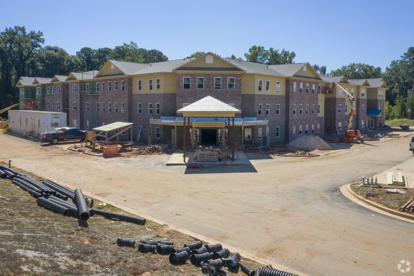
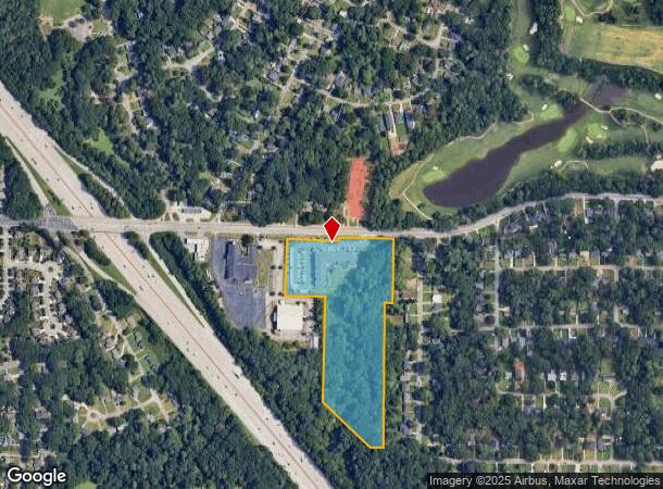
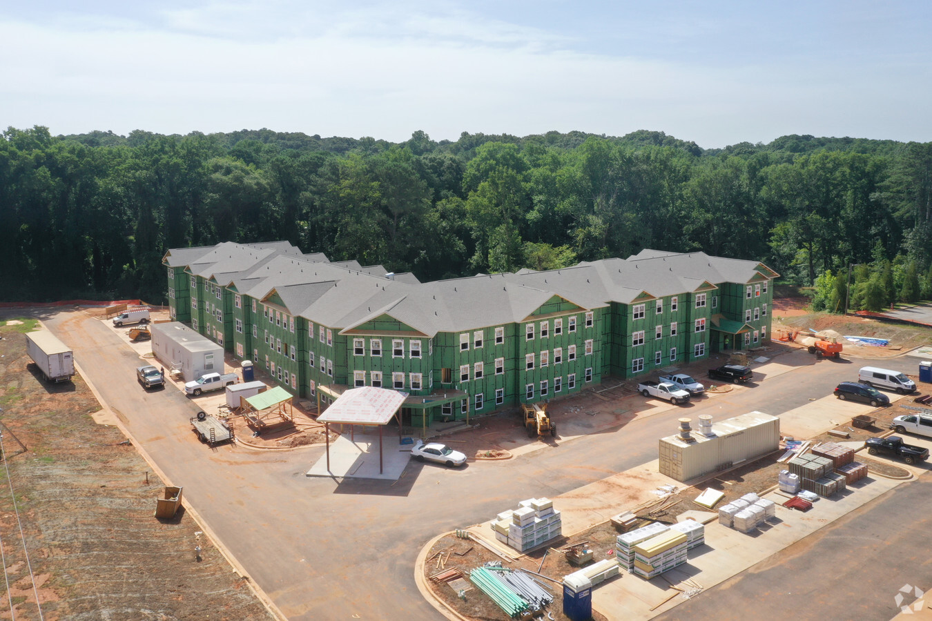
Property Record
1927 Glenwood Ave Se, Atlanta, GA 30316
NEARBY LISTINGS FOR SALE OR LEASE
Property Detail
1927 Glenwood Ave Se
15-174-01-037
16/2012 09/ 05/2012 11.58 AC 08/ 21/2012 9.91 AC
Hospitalprivate
DeKalb
AE
Georgia
13089C0127J
37
2023
11.70 AC
2023
East Lake
023801
Atlanta
79,200 SF
Atlanta-Sandy Springs-Roswell, GA
DEMOGRAPHICS near 1927 Glenwood Ave Se
1 Mile
3 Mile
5 Mile
2024 Total Population
11,790
120,882
343,257
2029 Population
11,936
122,604
350,787
Pop Growth 2024-2029
+ 1.24%
+ 1.42%
+ 2.19%
Average Age
38
38
37
2024 Total Households
5,347
54,802
153,133
HH Growth 2024-2029
+ 1.25%
+ 1.65%
+ 2.51%
Median Household Inc
$65,359
$99,690
$81,521
Avg Household Size
2.20
2.10
2.00
2024 Avg HH Vehicles
1.00
2.00
1.00
Median Home Value
$403,746
$460,688
$429,068
Median Year Built
1963
1969
1982
Nearby Places
- Restaurants
- Banks
- Shops
- Fitness
- Groceries
PUBLIC TRANSPORTATION
COMMUTER RAIL
Atlanta (Crescent - Amtrak)
DRIVE
WALK
Distance
Atlanta (Crescent - Amtrak)
13 min
8.3 mi
AIRPORT
Hartsfield - Jackson Atlanta International
DRIVE
WALK
Distance
Hartsfield - Jackson Atlanta International
20 min
12.9 mi
Freight Ports
Georgia Ports - Savannah
DRIVE
WALK
Distance
Georgia Ports - Savannah
279 min
246.0 mi
Nearby Properties
Address
Land Use
TOTAL SIZE
Lot Size
Zoning
Address
Land Use
TOTAL SIZE
Lot Size
Zoning
327,098 SF
4.92 AC
X
Address
Land Use
TOTAL SIZE
Lot Size
Zoning
400,311 SF
4.45 AC
I2
Address
Land Use
TOTAL SIZE
Lot Size
Zoning
390,107 SF
4.98 AC
C1
Address
Land Use
TOTAL SIZE
Lot Size
Zoning
521,674 SF
2.91 AC
I2
Address
Land Use
TOTAL SIZE
Lot Size
Zoning
566,872 SF
3.31 AC
I1
Address
Land Use
TOTAL SIZE
Lot Size
Zoning
479,674 SF
7.28 AC
PDMU
Address
Land Use
TOTAL SIZE
Lot Size
Zoning
624,087 SF
4.44 AC
I2
Address
Land Use
TOTAL SIZE
Lot Size
Zoning
67,882 SF
4.76 AC
X
Address
Land Use
TOTAL SIZE
Lot Size
Zoning
94.93 AC
R5
Address
Land Use
TOTAL SIZE
Lot Size
Zoning
363,464 SF
2.92 AC
I2
Address
Land Use
TOTAL SIZE
Lot Size
Zoning
416,206 SF
2.60 AC
I1
Address
Land Use
TOTAL SIZE
Lot Size
Zoning
543,551 SF
5.26 AC
R4
Address
Land Use
TOTAL SIZE
Lot Size
Zoning
290,130 SF
6 AC
R100
Address
Land Use
TOTAL SIZE
Lot Size
Zoning
318,300 SF
4.60 AC
I1
Address
Land Use
TOTAL SIZE
Lot Size
Zoning
244,293 SF
2.09 AC
C-2
Address
Land Use
TOTAL SIZE
Lot Size
Zoning
397,758 SF
1.91 AC
I1
Address
Land Use
TOTAL SIZE
Lot Size
Zoning
103,567 SF
2.80 AC
X
Address
Land Use
TOTAL SIZE
Lot Size
Zoning
438,163 SF
4.45 AC
R5
Address
Land Use
TOTAL SIZE
Lot Size
Zoning
338,702 SF
5.65 AC
I2
Address
Land Use
TOTAL SIZE
Lot Size
Zoning
254,990 SF
1.95 AC
C2
Address
Land Use
TOTAL SIZE
Lot Size
Zoning
348,894 SF
0.58 AC
I1
Address
Land Use
TOTAL SIZE
Lot Size
Zoning
373,594 SF
2.32 AC
I1
Address
Land Use
TOTAL SIZE
Lot Size
Zoning
416,558 SF
7.42 AC
C2
Address
Land Use
TOTAL SIZE
Lot Size
Zoning
376,702 SF
5.61 AC
RG3
Address
Land Use
TOTAL SIZE
Lot Size
Zoning
104,218 SF
1.10 AC
C2
Address
Land Use
TOTAL SIZE
Lot Size
Zoning
286,700 SF
0.30 AC
G-C
Address
Land Use
TOTAL SIZE
Lot Size
Zoning
543,748 SF
3.86 AC
I2
Address
Land Use
TOTAL SIZE
Lot Size
Zoning
260,649 SF
4 AC
R5
Address
Land Use
TOTAL SIZE
Lot Size
Zoning
468,493 SF
6.40 AC
R1
Address
Land Use
TOTAL SIZE
Lot Size
Zoning
284,402 SF
2.41 AC
OI
The World's #1 Commercial Real Estate Marketplace
Connect with us
© 2025 CoStar Group
The information above has been obtained from sources believed reliable. While we do not doubt its accuracy we have not verified it and make no guarantee, warranty or representation about it. It is your responsibility to independently confirm its accuracy and completeness. Any projections, opinions, assumptions, or estimates used are for example only and do not represent the current or future performance of the property. The value of this transaction to you depends on tax and other factors which should be evaluated by your tax, financial, and legal advisors. You and your advisors should conduct a careful, independent investigation of the property to determine to your satisfaction the suitability of the property for your needs.