Property Record
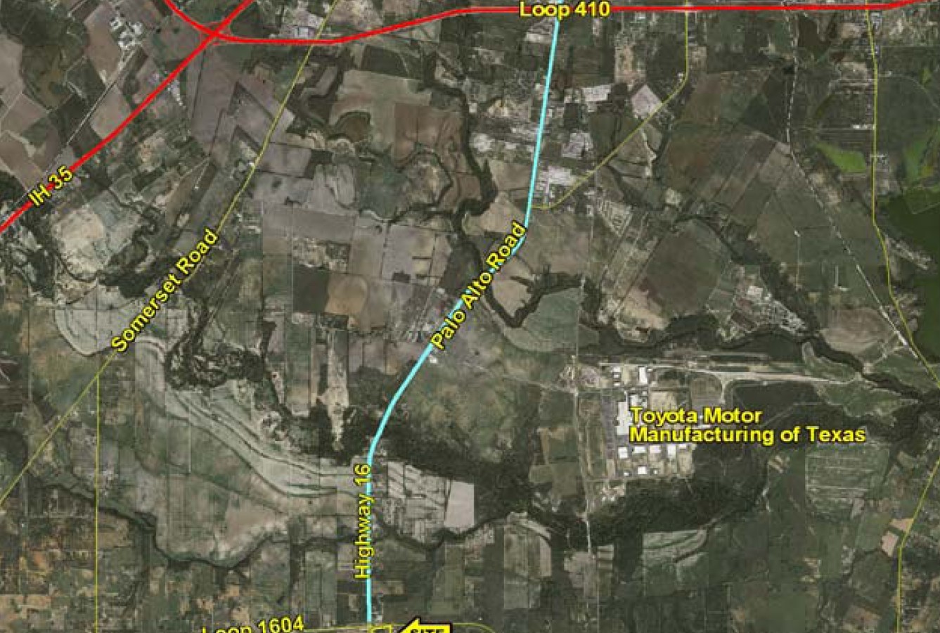
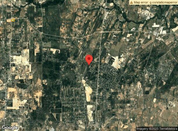
19280 State Highway 16 S, San Antonio, TX 78264
NEARBY LISTINGS FOR SALE OR LEASE
Property Detail
19280 State Highway 16 S
San Antonio-New Braunfels, TX
Cb 4200A (Tex Best #529)
04200-101-0020
CB 4200A (TEX BEST #529) BLK 1 LOT 2 2021-NEW PER PLAT 20001/2514 FILED 9-18-2020. CR-50481. JLF/GIS/10-19-2020
Servicestation
Bexar
X
Texas
48493C0250C
16
2023
13.90 AC
2023
South
152100
San Antonio
10,440 SF
DEMOGRAPHICS near 19280 State Highway 16 S
1 Mile
3 Mile
5 Mile
2024 Total Population
548
5,449
14,224
2029 Population
574
5,947
15,497
Pop Growth 2024-2029
+ 4.74%
+ 9.14%
+ 8.95%
Average Age
37
36
36
2024 Total Households
160
1,638
4,291
HH Growth 2024-2029
+ 4.38%
+ 9.52%
+ 9.25%
Median Household Inc
$72,717
$67,593
$66,696
Avg Household Size
3.20
3.20
3.20
2024 Avg HH Vehicles
2.00
2.00
2.00
Median Home Value
$176,999
$192,504
$181,016
Median Year Built
1990
1997
1996
Nearby Places
- Restaurants
- Banks
- Shops
- Fitness
- Groceries
PUBLIC TRANSPORTATION
AIRPORT
San Antonio International
DRIVE
WALK
Distance
San Antonio International
41 min
26.5 mi
Freight Ports
Port of Corpus Christi
DRIVE
WALK
Distance
Port of Corpus Christi
138 min
127.8 mi
Nearby Properties
Address
Land Use
TOTAL SIZE
Lot Size
Zoning
Address
Land Use
TOTAL SIZE
Lot Size
Zoning
5,753,521 SF
709.61 AC
Address
Land Use
TOTAL SIZE
Lot Size
Zoning
300.90 AC
Address
Land Use
TOTAL SIZE
Lot Size
Zoning
500.22 AC
Address
Land Use
TOTAL SIZE
Lot Size
Zoning
271.41 AC
Address
Land Use
TOTAL SIZE
Lot Size
Zoning
246.25 AC
Address
Land Use
TOTAL SIZE
Lot Size
Zoning
368 SF
10.78 AC
Address
Land Use
TOTAL SIZE
Lot Size
Zoning
29,400 SF
1.38 AC
Address
Land Use
TOTAL SIZE
Lot Size
Zoning
179.87 AC
Address
Land Use
TOTAL SIZE
Lot Size
Zoning
143.57 AC
Address
Land Use
TOTAL SIZE
Lot Size
Zoning
8,296 SF
10 AC
Address
Land Use
TOTAL SIZE
Lot Size
Zoning
720 SF
48.47 AC
Address
Land Use
TOTAL SIZE
Lot Size
Zoning
23,132 SF
7.14 AC
Address
Land Use
TOTAL SIZE
Lot Size
Zoning
9,034 SF
1.23 AC
Address
Land Use
TOTAL SIZE
Lot Size
Zoning
115.75 AC
Address
Land Use
TOTAL SIZE
Lot Size
Zoning
Address
Land Use
TOTAL SIZE
Lot Size
Zoning
3,280 SF
186.35 AC
Address
Land Use
TOTAL SIZE
Lot Size
Zoning
322,050 SF
7.87 AC
Address
Land Use
TOTAL SIZE
Lot Size
Zoning
Address
Land Use
TOTAL SIZE
Lot Size
Zoning
34,626 SF
0.60 AC
Address
Land Use
TOTAL SIZE
Lot Size
Zoning
151.60 AC
Address
Land Use
TOTAL SIZE
Lot Size
Zoning
Address
Land Use
TOTAL SIZE
Lot Size
Zoning
1,696 SF
149.02 AC
Address
Land Use
TOTAL SIZE
Lot Size
Zoning
9.91 AC
Address
Land Use
TOTAL SIZE
Lot Size
Zoning
24.78 AC
Address
Land Use
TOTAL SIZE
Lot Size
Zoning
6,350 SF
5.05 AC
Address
Land Use
TOTAL SIZE
Lot Size
Zoning
5,780 SF
1.36 AC
Address
Land Use
TOTAL SIZE
Lot Size
Zoning
2,322 SF
0.29 AC
Address
Land Use
TOTAL SIZE
Lot Size
Zoning
1,238 SF
3.29 AC
Address
Land Use
TOTAL SIZE
Lot Size
Zoning
27.93 AC
Address
Land Use
TOTAL SIZE
Lot Size
Zoning
1,606 SF
4.12 AC
The World's #1 Commercial Real Estate Marketplace
Connect with us
© 2025 CoStar Group
The information above has been obtained from sources believed reliable. While we do not doubt its accuracy we have not verified it and make no guarantee, warranty or representation about it. It is your responsibility to independently confirm its accuracy and completeness. Any projections, opinions, assumptions, or estimates used are for example only and do not represent the current or future performance of the property. The value of this transaction to you depends on tax and other factors which should be evaluated by your tax, financial, and legal advisors. You and your advisors should conduct a careful, independent investigation of the property to determine to your satisfaction the suitability of the property for your needs.