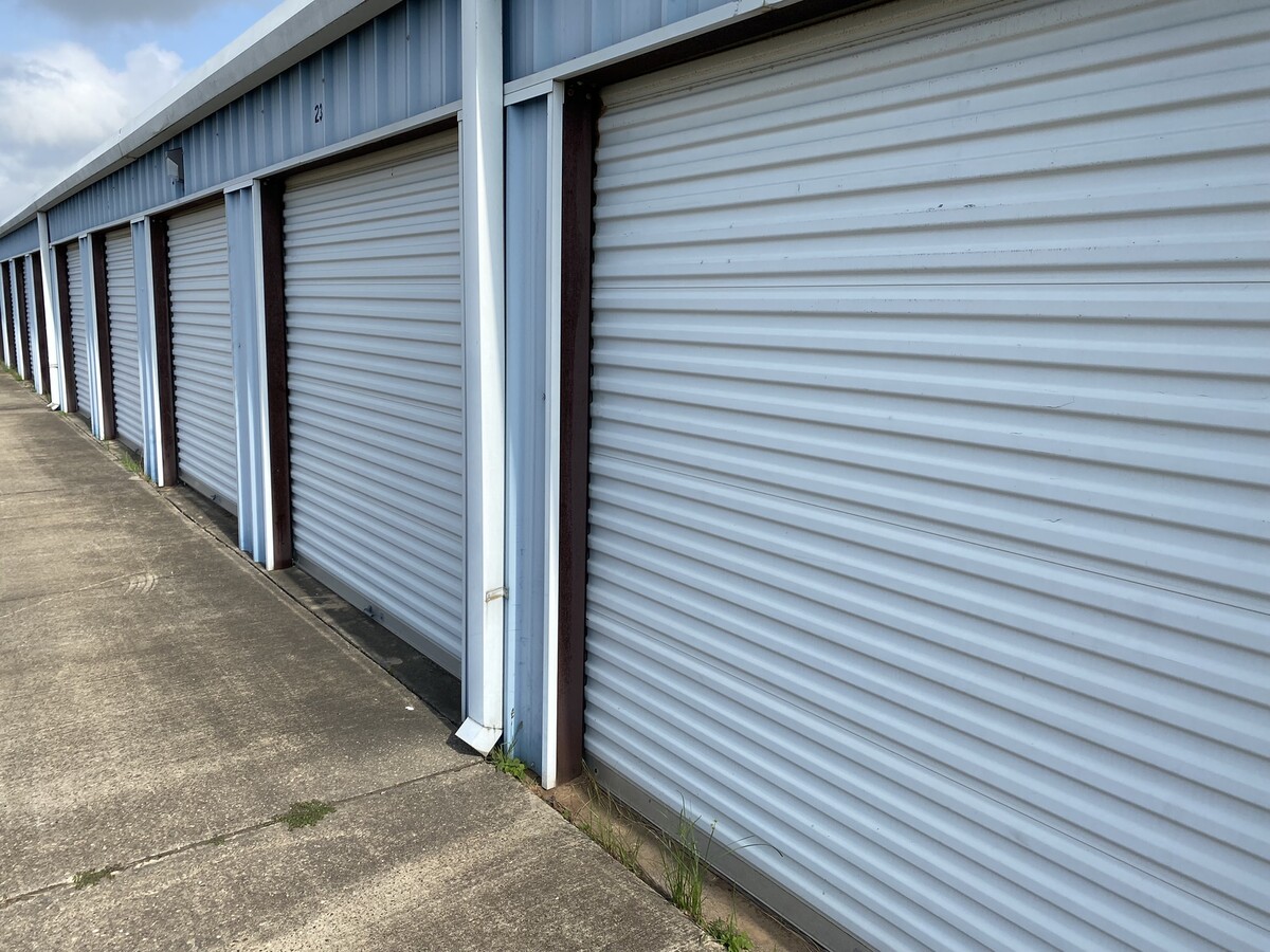
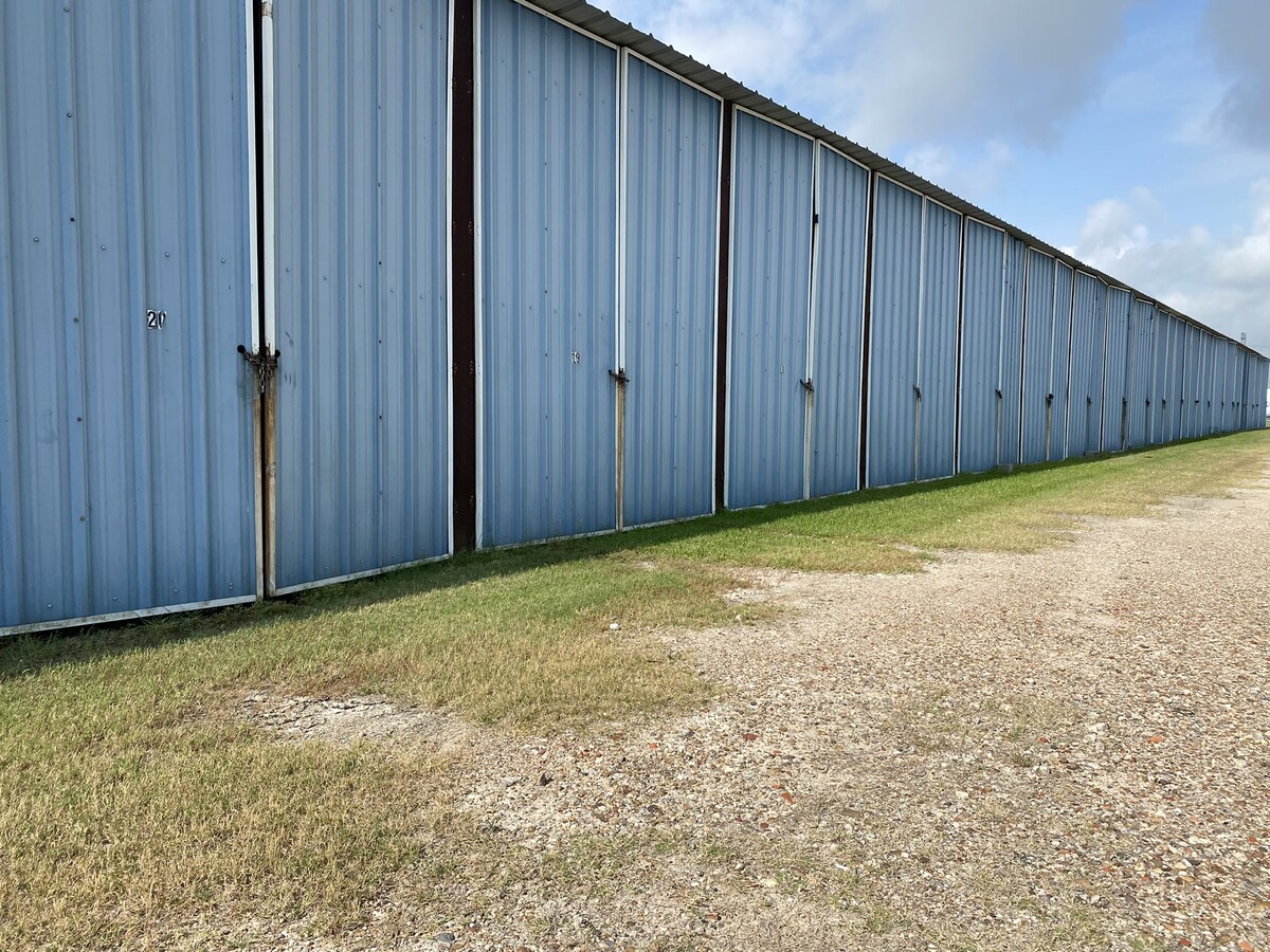
Property Record
1932 Fm 523 Rd, Freeport, TX 77541

NEARBY LISTINGS FOR SALE OR LEASE
-
-
View all Freeport listings for sale on LoopNet.com
Property Detail
1932 Fm 523 Rd
Houston-The Woodlands-Sugar Land, TX
B C I C Div 10
2110-0058-000
B C I C DIV 10, LOT 43-44-44A, ACRES 8.170, A0051 F J CALVIT, OYSTER CREEK
Commercialnec
Brazoria
X
Texas
48039C0805K
43
2023
8.17 AC
2023
South Hwy 35
664200
Houston
58,256 SF
DEMOGRAPHICS near 1932 Fm 523 Rd
1 Mile
3 Mile
5 Mile
2024 Total Population
1,267
8,084
22,913
2029 Population
1,453
9,164
26,259
Pop Growth 2024-2029
+ 14.68%
+ 13.36%
+ 14.60%
Average Age
41
37
38
2024 Total Households
530
2,929
8,576
HH Growth 2024-2029
+ 14.91%
+ 13.66%
+ 15.26%
Median Household Inc
$42,428
$51,250
$51,199
Avg Household Size
2.40
2.70
2.60
2024 Avg HH Vehicles
2.00
2.00
2.00
Median Home Value
$206,604
$132,850
$133,820
Median Year Built
1987
1978
1977
Nearby Places
- Restaurants
- Banks
- Shops
- Fitness
- Groceries
SALE & LEASE HISTORY
LISTING DATE
SALE/LEASE

Jun 16, 2022
For Sale
Nearby Properties
Address
Land Use
TOTAL SIZE
Lot Size
Zoning
Address
Land Use
TOTAL SIZE
Lot Size
Zoning
Address
Land Use
TOTAL SIZE
Lot Size
Zoning
Address
Land Use
TOTAL SIZE
Lot Size
Zoning
Address
Land Use
TOTAL SIZE
Lot Size
Zoning
Address
Land Use
TOTAL SIZE
Lot Size
Zoning
Address
Land Use
TOTAL SIZE
Lot Size
Zoning
Address
Land Use
TOTAL SIZE
Lot Size
Zoning
Address
Land Use
TOTAL SIZE
Lot Size
Zoning
Address
Land Use
TOTAL SIZE
Lot Size
Zoning
33.09 AC
0050
Address
Land Use
TOTAL SIZE
Lot Size
Zoning
61.70 AC
Address
Land Use
TOTAL SIZE
Lot Size
Zoning
Address
Land Use
TOTAL SIZE
Lot Size
Zoning
Address
Land Use
TOTAL SIZE
Lot Size
Zoning
Address
Land Use
TOTAL SIZE
Lot Size
Zoning
242.03 AC
0275
Address
Land Use
TOTAL SIZE
Lot Size
Zoning
Address
Land Use
TOTAL SIZE
Lot Size
Zoning
4.27 AC
0170
Address
Land Use
TOTAL SIZE
Lot Size
Zoning
75.99 AC
0410
Address
Land Use
TOTAL SIZE
Lot Size
Zoning
Address
Land Use
TOTAL SIZE
Lot Size
Zoning
101,446 SF
14.79 AC
1135
Address
Land Use
TOTAL SIZE
Lot Size
Zoning
48,773 SF
Address
Land Use
TOTAL SIZE
Lot Size
Zoning
Address
Land Use
TOTAL SIZE
Lot Size
Zoning
24.81 AC
0031
Address
Land Use
TOTAL SIZE
Lot Size
Zoning
121,688 SF
6.41 AC
Address
Land Use
TOTAL SIZE
Lot Size
Zoning
Address
Land Use
TOTAL SIZE
Lot Size
Zoning
Address
Land Use
TOTAL SIZE
Lot Size
Zoning
1.74 AC
Address
Land Use
TOTAL SIZE
Lot Size
Zoning
Address
Land Use
TOTAL SIZE
Lot Size
Zoning
16.05 AC
0130
Address
Land Use
TOTAL SIZE
Lot Size
Zoning
64,010 SF
7.71 AC
Address
Land Use
TOTAL SIZE
Lot Size
Zoning
83,532 SF
3.71 AC
The World's #1 Commercial Real Estate Marketplace
Connect with us
© 2025 CoStar Group
The information above has been obtained from sources believed reliable. While we do not doubt its accuracy we have not verified it and make no guarantee, warranty or representation about it. It is your responsibility to independently confirm its accuracy and completeness. Any projections, opinions, assumptions, or estimates used are for example only and do not represent the current or future performance of the property. The value of this transaction to you depends on tax and other factors which should be evaluated by your tax, financial, and legal advisors. You and your advisors should conduct a careful, independent investigation of the property to determine to your satisfaction the suitability of the property for your needs.