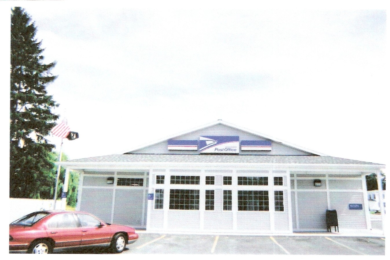
Property Record
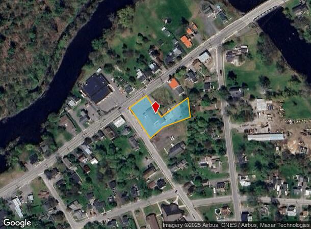
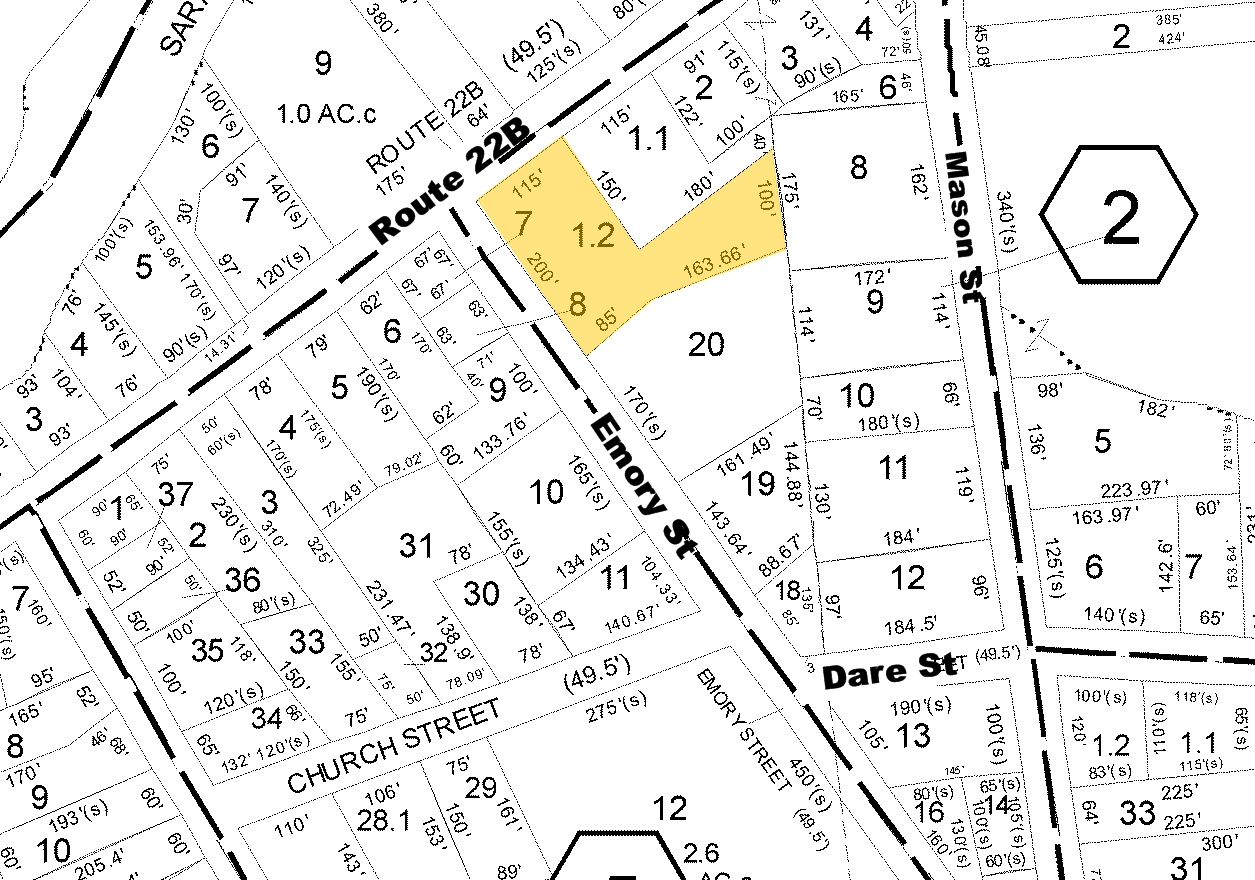
1934 State Route 22B, Morrisonville, NY 12962
NEARBY LISTINGS FOR SALE OR LEASE
-
-
View all Morrisonville listings for sale on LoopNet.com
Property Detail
1934 State Route 22B
094600-219-001-0002-001-002-0000
GAGNON GAGNON TOMKINS HWAY
Storesoffices
Clinton
AE
New York
36019C0579E
1.002
2023
1.20 AC
2023
Upstate New York Area
103900
Other Market Areas
5,663 SF
Plattsburgh, NY
DEMOGRAPHICS near 1934 State Route 22B
1 Mile
3 Mile
5 Mile
2024 Total Population
1,688
6,435
20,075
2029 Population
1,672
6,364
19,856
Pop Growth 2024-2029
(0.95%)
(1.10%)
(1.09%)
Average Age
43
44
43
2024 Total Households
704
2,654
8,364
HH Growth 2024-2029
(0.99%)
(1.21%)
(1.17%)
Median Household Inc
$62,062
$61,388
$61,781
Avg Household Size
2.40
2.40
2.30
2024 Avg HH Vehicles
2.00
2.00
2.00
Median Home Value
$197,575
$166,853
$154,918
Median Year Built
1982
1981
1977
Nearby Places
- Restaurants
- Banks
- Shops
- Fitness
- Groceries
PUBLIC TRANSPORTATION
COMMUTER RAIL
Plattsburgh Amtrak Station (Adirondack - Amtrak)
DRIVE
WALK
Distance
Plattsburgh Amtrak Station (Adirondack - Amtrak)
10 min
6.2 mi
AIRPORT
Plattsburgh International
DRIVE
WALK
Distance
Plattsburgh International
14 min
8.5 mi
Patrick Leahy Burlington International
DRIVE
WALK
Distance
Patrick Leahy Burlington International
74 min
36.3 mi
Freight Ports
Montreal
DRIVE
WALK
Distance
Montreal
93 min
69.9 mi
Nearby Properties
Address
Land Use
TOTAL SIZE
Lot Size
Zoning
Address
Land Use
TOTAL SIZE
Lot Size
Zoning
117.80 AC
Address
Land Use
TOTAL SIZE
Lot Size
Zoning
99,232 SF
21.27 AC
AD MU
Address
Land Use
TOTAL SIZE
Lot Size
Zoning
128,028 SF
38.20 AC
IP
Address
Land Use
TOTAL SIZE
Lot Size
Zoning
5,187 SF
101.03 AC
Address
Land Use
TOTAL SIZE
Lot Size
Zoning
145,190 SF
26.57 AC
IP
Address
Land Use
TOTAL SIZE
Lot Size
Zoning
123.50 AC
Address
Land Use
TOTAL SIZE
Lot Size
Zoning
156,030 SF
10.70 AC
IP
Address
Land Use
TOTAL SIZE
Lot Size
Zoning
64,343 SF
2.30 AC
C
Address
Land Use
TOTAL SIZE
Lot Size
Zoning
1,340 SF
9.36 AC
R-2
Address
Land Use
TOTAL SIZE
Lot Size
Zoning
36,033 SF
82.10 AC
R-2
Address
Land Use
TOTAL SIZE
Lot Size
Zoning
62,148 SF
2.66 AC
C
Address
Land Use
TOTAL SIZE
Lot Size
Zoning
85.40 AC
L
Address
Land Use
TOTAL SIZE
Lot Size
Zoning
51,533 SF
22.70 AC
Address
Land Use
TOTAL SIZE
Lot Size
Zoning
81,869 SF
8 AC
IP
Address
Land Use
TOTAL SIZE
Lot Size
Zoning
60,000 SF
32.38 AC
IP
Address
Land Use
TOTAL SIZE
Lot Size
Zoning
74,518 SF
3.90 AC
IP
Address
Land Use
TOTAL SIZE
Lot Size
Zoning
2,544 SF
33 AC
Address
Land Use
TOTAL SIZE
Lot Size
Zoning
107,750 SF
6.80 AC
IP
Address
Land Use
TOTAL SIZE
Lot Size
Zoning
80,000 SF
6.24 AC
IP
Address
Land Use
TOTAL SIZE
Lot Size
Zoning
65,000 SF
32.55 AC
AD MU
Address
Land Use
TOTAL SIZE
Lot Size
Zoning
80,000 SF
6.90 AC
IP
Address
Land Use
TOTAL SIZE
Lot Size
Zoning
60,000 SF
5.72 AC
IP
Address
Land Use
TOTAL SIZE
Lot Size
Zoning
80,000 SF
7.30 AC
IP
Address
Land Use
TOTAL SIZE
Lot Size
Zoning
25,242 SF
4.90 AC
C
Address
Land Use
TOTAL SIZE
Lot Size
Zoning
33,600 SF
10 AC
C
Address
Land Use
TOTAL SIZE
Lot Size
Zoning
12,650 SF
5 AC
SC
Address
Land Use
TOTAL SIZE
Lot Size
Zoning
67,500 SF
3.60 AC
IP
Address
Land Use
TOTAL SIZE
Lot Size
Zoning
63,060 SF
10 AC
IP
Address
Land Use
TOTAL SIZE
Lot Size
Zoning
60,000 SF
4.67 AC
IP
Address
Land Use
TOTAL SIZE
Lot Size
Zoning
25,500 SF
3.90 AC
SC
The World's #1 Commercial Real Estate Marketplace
Connect with us
© 2025 CoStar Group
The information above has been obtained from sources believed reliable. While we do not doubt its accuracy we have not verified it and make no guarantee, warranty or representation about it. It is your responsibility to independently confirm its accuracy and completeness. Any projections, opinions, assumptions, or estimates used are for example only and do not represent the current or future performance of the property. The value of this transaction to you depends on tax and other factors which should be evaluated by your tax, financial, and legal advisors. You and your advisors should conduct a careful, independent investigation of the property to determine to your satisfaction the suitability of the property for your needs.