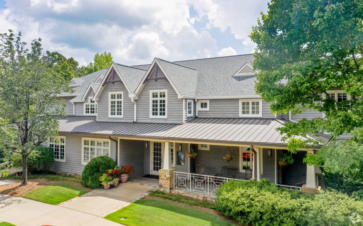
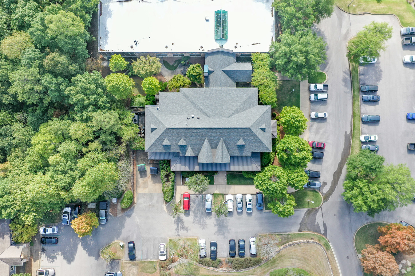
Property Record
1950 Stonegate Dr, Vestavia Hls, AL 35242
NEARBY LISTINGS FOR SALE OR LEASE
Property Detail
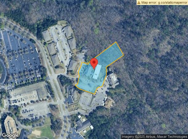
1950 Stonegate Dr
Birmingham-Hoover, AL
Urban Ctr Re #4 28-12-2&3
28-00-12-2-000-002.015
LOT 5-D OF THE URBAN CENTER AT LIBERTY PARK RESUR #4 PB 194 PG 53
Officebuilding
Jefferson
AE
Alabama
01117C0080F
5-d
2023
2.79 AC
2024
Hwy 280/Jefferson County
0127031026
Birmingham
27,713 SF
DEMOGRAPHICS near 1950 Stonegate Dr
1 Mile
3 Mile
5 Mile
2024 Total Population
1,332
28,988
99,597
2029 Population
1,280
27,955
98,662
Pop Growth 2024-2029
(3.90%)
(3.56%)
(0.94%)
Average Age
43
39
40
2024 Total Households
500
11,440
43,094
HH Growth 2024-2029
(4.00%)
(3.73%)
(0.93%)
Median Household Inc
$154,545
$120,987
$88,366
Avg Household Size
2.60
2.50
2.20
2024 Avg HH Vehicles
2.00
2.00
2.00
Median Home Value
$490,983
$466,735
$423,948
Median Year Built
1992
1977
1978
Nearby Places
- Restaurants
- Banks
- Shops
- Fitness
- Groceries
PUBLIC TRANSPORTATION
AIRPORT
Birmingham-Shuttlesworth International
DRIVE
WALK
Distance
Birmingham-Shuttlesworth International
22 min
12.3 mi
Freight Ports
Port of Mobile
DRIVE
WALK
Distance
Port of Mobile
280 min
255.4 mi
SALE & LEASE HISTORY
LISTING DATE
SALE/LEASE

Jan 10, 2017
For Lease
Feb 06, 2019
For Lease
Nearby Properties
Address
Land Use
TOTAL SIZE
Lot Size
Zoning
Address
Land Use
TOTAL SIZE
Lot Size
Zoning
45,868 SF
6.80 AC
CP Y
Address
Land Use
TOTAL SIZE
Lot Size
Zoning
500,279 SF
52.57 AC
B2
Address
Land Use
TOTAL SIZE
Lot Size
Zoning
259,316 SF
30 AC
PUD
Address
Land Use
TOTAL SIZE
Lot Size
Zoning
361,937 SF
22 AC
R4
Address
Land Use
TOTAL SIZE
Lot Size
Zoning
423,995 SF
25 AC
R3
Address
Land Use
TOTAL SIZE
Lot Size
Zoning
68,778 SF
3.40 AC
CP
Address
Land Use
TOTAL SIZE
Lot Size
Zoning
68,803 SF
3.93 AC
CP
Address
Land Use
TOTAL SIZE
Lot Size
Zoning
198,270 SF
11.21 AC
CP
Address
Land Use
TOTAL SIZE
Lot Size
Zoning
92,913 SF
15 AC
I3
Address
Land Use
TOTAL SIZE
Lot Size
Zoning
129,702 SF
8.20 AC
C-1
Address
Land Use
TOTAL SIZE
Lot Size
Zoning
235,552 SF
10.13 AC
R3
Address
Land Use
TOTAL SIZE
Lot Size
Zoning
57,938 SF
6.85 AC
CP
Address
Land Use
TOTAL SIZE
Lot Size
Zoning
74,154 SF
4.20 AC
R-A
Address
Land Use
TOTAL SIZE
Lot Size
Zoning
59,108 SF
1.72 AC
CP&C
Address
Land Use
TOTAL SIZE
Lot Size
Zoning
8.10 AC
QR6
Address
Land Use
TOTAL SIZE
Lot Size
Zoning
64,390 SF
7.10 AC
Address
Land Use
TOTAL SIZE
Lot Size
Zoning
47,099 SF
2.03 AC
CP
Address
Land Use
TOTAL SIZE
Lot Size
Zoning
98,696 SF
8.45 AC
B2
Address
Land Use
TOTAL SIZE
Lot Size
Zoning
30,050 SF
3.17 AC
CP
Address
Land Use
TOTAL SIZE
Lot Size
Zoning
66,698 SF
7.38 AC
B2
Address
Land Use
TOTAL SIZE
Lot Size
Zoning
137,270 SF
11.70 AC
C1/R
Address
Land Use
TOTAL SIZE
Lot Size
Zoning
129,706 SF
120 AC
INST
Address
Land Use
TOTAL SIZE
Lot Size
Zoning
101,984 SF
5.95 AC
R4
Address
Land Use
TOTAL SIZE
Lot Size
Zoning
10.48 AC
CP&C
Address
Land Use
TOTAL SIZE
Lot Size
Zoning
99,485 SF
4.18 AC
R3
Address
Land Use
TOTAL SIZE
Lot Size
Zoning
44,766 SF
5.92 AC
I
Address
Land Use
TOTAL SIZE
Lot Size
Zoning
47,789 SF
8.90 AC
RA
Address
Land Use
TOTAL SIZE
Lot Size
Zoning
76,304 SF
12 AC
R-A
Address
Land Use
TOTAL SIZE
Lot Size
Zoning
112,766 SF
6.60 AC
R4
The World's #1 Commercial Real Estate Marketplace
Connect with us
© 2025 CoStar Group
The information above has been obtained from sources believed reliable. While we do not doubt its accuracy we have not verified it and make no guarantee, warranty or representation about it. It is your responsibility to independently confirm its accuracy and completeness. Any projections, opinions, assumptions, or estimates used are for example only and do not represent the current or future performance of the property. The value of this transaction to you depends on tax and other factors which should be evaluated by your tax, financial, and legal advisors. You and your advisors should conduct a careful, independent investigation of the property to determine to your satisfaction the suitability of the property for your needs.