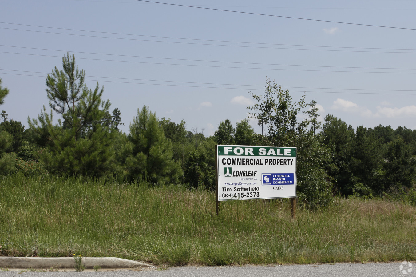
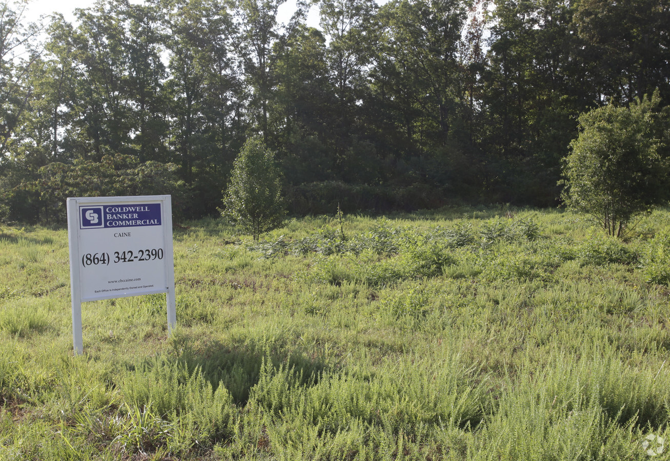
Property Record
196 Sloane Garden Rd, Boiling Springs, SC 29316
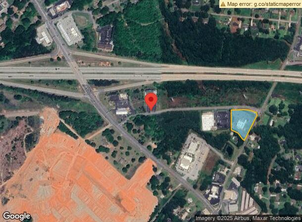

NEARBY LISTINGS FOR SALE OR LEASE
Property Detail
196 Sloane Garden Rd
2-51-00-121.12
Recombination Survey For Dialysis Ventur
Medicalbuilding
W SIDE PARRIS BRIDGE RD & S SIDE SLOANE GARDEN RD DB 125F-139 PB 176-261 PB 176-347
X
Spartanburg
45083C0164D
South Carolina
2024
2.05 AC
2023
North Side/Rt 9 Corridor
021806
Greenville/Spartanburg
6,270 SF
Spartanburg, SC
DEMOGRAPHICS near 196 Sloane Garden Rd
1 Mile
3 Mile
5 Mile
2024 Total Population
3,735
34,584
87,802
2029 Population
4,190
39,086
99,585
Pop Growth 2024-2029
+ 12.18%
+ 13.02%
+ 13.42%
Average Age
38
37
37
2024 Total Households
1,414
13,052
33,387
HH Growth 2024-2029
+ 12.45%
+ 13.45%
+ 13.97%
Median Household Inc
$63,884
$52,686
$51,480
Avg Household Size
2.60
2.50
2.40
2024 Avg HH Vehicles
2.00
2.00
2.00
Median Home Value
$170,741
$166,077
$169,212
Median Year Built
1990
1993
1986
Nearby Places
- Restaurants
- Banks
- Shops
- Fitness
- Groceries
PUBLIC TRANSPORTATION
COMMUTER RAIL
Spartanburg Amtrak Station (Crescent - Amtrak)
DRIVE
WALK
Distance
Spartanburg Amtrak Station (Crescent - Amtrak)
9 min
4.4 mi
AIRPORT
Greenville Spartanburg International
DRIVE
WALK
Distance
Greenville Spartanburg International
27 min
19.7 mi
Freight Ports
North Charleston Terminal
DRIVE
WALK
Distance
North Charleston Terminal
224 min
200.2 mi
Nearby Properties
Address
Land Use
TOTAL SIZE
Lot Size
Zoning
Address
Land Use
TOTAL SIZE
Lot Size
Zoning
27,491 SF
2.95 AC
Address
Land Use
TOTAL SIZE
Lot Size
Zoning
22,955 SF
5.05 AC
Address
Land Use
TOTAL SIZE
Lot Size
Zoning
19,876 SF
0.02 AC
Address
Land Use
TOTAL SIZE
Lot Size
Zoning
12,069 SF
0.02 AC
Address
Land Use
TOTAL SIZE
Lot Size
Zoning
42,915 SF
7.47 AC
Address
Land Use
TOTAL SIZE
Lot Size
Zoning
122,626 SF
7.70 AC
Address
Land Use
TOTAL SIZE
Lot Size
Zoning
8,872 SF
0.02 AC
Address
Land Use
TOTAL SIZE
Lot Size
Zoning
101,622 SF
19.63 AC
Address
Land Use
TOTAL SIZE
Lot Size
Zoning
6,462 SF
31.44 AC
Address
Land Use
TOTAL SIZE
Lot Size
Zoning
83,698 SF
18.14 AC
Address
Land Use
TOTAL SIZE
Lot Size
Zoning
36,480 SF
15.39 AC
Address
Land Use
TOTAL SIZE
Lot Size
Zoning
89,435 SF
5.33 AC
Address
Land Use
TOTAL SIZE
Lot Size
Zoning
16,512 SF
23.72 AC
Address
Land Use
TOTAL SIZE
Lot Size
Zoning
4,494 SF
17.60 AC
Address
Land Use
TOTAL SIZE
Lot Size
Zoning
2,154 SF
16.99 AC
Address
Land Use
TOTAL SIZE
Lot Size
Zoning
2,647 SF
20.17 AC
Address
Land Use
TOTAL SIZE
Lot Size
Zoning
8,224 SF
9.67 AC
Address
Land Use
TOTAL SIZE
Lot Size
Zoning
6,816 SF
14.16 AC
Address
Land Use
TOTAL SIZE
Lot Size
Zoning
5,693 SF
0.02 AC
Address
Land Use
TOTAL SIZE
Lot Size
Zoning
7,925 SF
23.64 AC
Address
Land Use
TOTAL SIZE
Lot Size
Zoning
30,976 SF
18.66 AC
Address
Land Use
TOTAL SIZE
Lot Size
Zoning
1,160 SF
14.09 AC
Address
Land Use
TOTAL SIZE
Lot Size
Zoning
70,160 SF
17.28 AC
Address
Land Use
TOTAL SIZE
Lot Size
Zoning
6,454 SF
0.70 AC
Address
Land Use
TOTAL SIZE
Lot Size
Zoning
44,226 SF
25 AC
Address
Land Use
TOTAL SIZE
Lot Size
Zoning
49,982 SF
4.81 AC
Address
Land Use
TOTAL SIZE
Lot Size
Zoning
5,176 SF
10.20 AC
Address
Land Use
TOTAL SIZE
Lot Size
Zoning
53,066 SF
8.39 AC
Address
Land Use
TOTAL SIZE
Lot Size
Zoning
23,836 SF
4.48 AC
Address
Land Use
TOTAL SIZE
Lot Size
Zoning
4,426 SF
The World's #1 Commercial Real Estate Marketplace
Connect with us
© 2025 CoStar Group
The information above has been obtained from sources believed reliable. While we do not doubt its accuracy we have not verified it and make no guarantee, warranty or representation about it. It is your responsibility to independently confirm its accuracy and completeness. Any projections, opinions, assumptions, or estimates used are for example only and do not represent the current or future performance of the property. The value of this transaction to you depends on tax and other factors which should be evaluated by your tax, financial, and legal advisors. You and your advisors should conduct a careful, independent investigation of the property to determine to your satisfaction the suitability of the property for your needs.