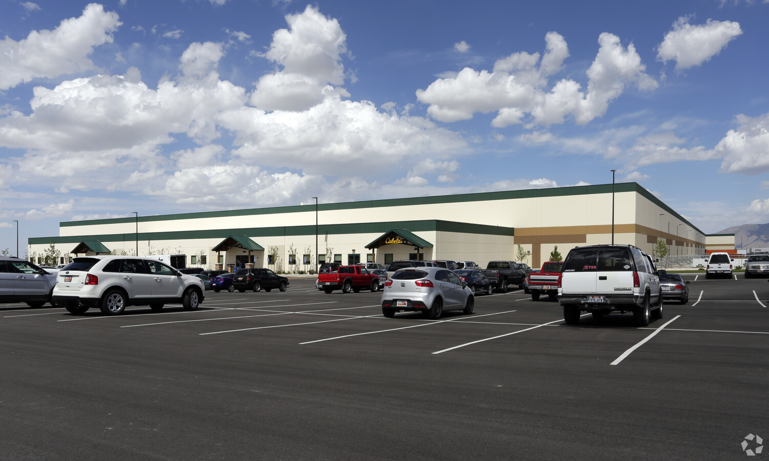
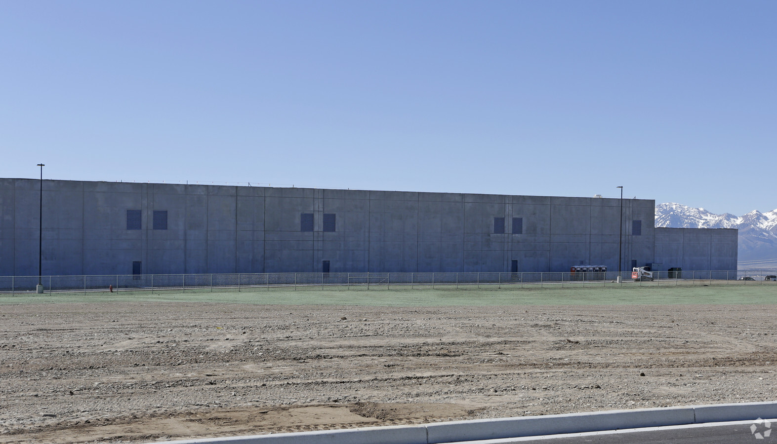
Property Record
1961 W Outfitters Ave, Tooele, UT 84074
NEARBY LISTINGS FOR SALE OR LEASE
Property Detail
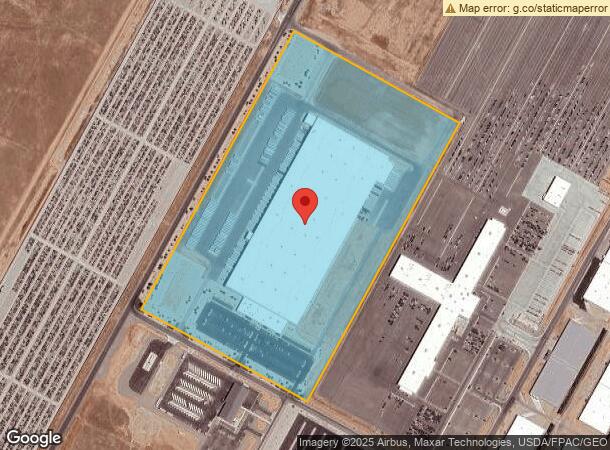
1961 W Outfitters Ave
Salt Lake City, UT
Ninigret Depot Subdivision
18-081-0-0102
LOT 102, NINIGRET DEPOT SUBDIVISION PHASE 1, A SUBDIVISION OF TOOELE CITY. OUT OF 16-5-102B FOR 2015 YEAR. 48.929 AC
Commercialnec
Tooele
D
Utah
49045C1640C
102
2024
48.93 AC
2024
Tooele County
130708
Salt Lake City
610,536 SF
DEMOGRAPHICS near 1961 W Outfitters Ave
1 Mile
3 Mile
5 Mile
2024 Total Population
8
22,367
43,416
2029 Population
10
27,987
54,350
Pop Growth 2024-2029
+ 25.00%
+ 25.13%
+ 25.18%
Average Age
25
34
34
2024 Total Households
2
7,366
13,855
HH Growth 2024-2029
+ 50.00%
+ 25.51%
+ 25.58%
Median Household Inc
$87,500
$83,593
$87,474
Avg Household Size
2.00
3.00
3.10
2024 Avg HH Vehicles
2.00
2.00
3.00
Median Home Value
$399,999
$284,419
$295,432
Median Year Built
2010
1995
1996
Nearby Places
- Restaurants
- Banks
- Shops
- Fitness
- Groceries
PUBLIC TRANSPORTATION
AIRPORT
Salt Lake City International
DRIVE
WALK
Distance
Salt Lake City International
45 min
33.1 mi
Freight Ports
Port of Stockton
DRIVE
WALK
Distance
Port of Stockton
705 min
682.3 mi
Nearby Properties
Address
Land Use
TOTAL SIZE
Lot Size
Zoning
Address
Land Use
TOTAL SIZE
Lot Size
Zoning
205,900 SF
107.47 AC
Address
Land Use
TOTAL SIZE
Lot Size
Zoning
8.47 AC
Address
Land Use
TOTAL SIZE
Lot Size
Zoning
263,948 SF
47.90 AC
Address
Land Use
TOTAL SIZE
Lot Size
Zoning
8.32 AC
Address
Land Use
TOTAL SIZE
Lot Size
Zoning
57,218 SF
186.98 AC
Address
Land Use
TOTAL SIZE
Lot Size
Zoning
509,920 SF
31.75 AC
Address
Land Use
TOTAL SIZE
Lot Size
Zoning
339,571 SF
35.61 AC
Address
Land Use
TOTAL SIZE
Lot Size
Zoning
90,340 SF
41.76 AC
Address
Land Use
TOTAL SIZE
Lot Size
Zoning
191,148 SF
11.08 AC
Address
Land Use
TOTAL SIZE
Lot Size
Zoning
86,615 SF
8.87 AC
Address
Land Use
TOTAL SIZE
Lot Size
Zoning
3.50 AC
Address
Land Use
TOTAL SIZE
Lot Size
Zoning
114,155 SF
20 AC
Address
Land Use
TOTAL SIZE
Lot Size
Zoning
191,115 SF
18.09 AC
Address
Land Use
TOTAL SIZE
Lot Size
Zoning
3,220 SF
7.40 AC
Address
Land Use
TOTAL SIZE
Lot Size
Zoning
59,960 SF
16.45 AC
Address
Land Use
TOTAL SIZE
Lot Size
Zoning
42,250 SF
3 AC
Address
Land Use
TOTAL SIZE
Lot Size
Zoning
60,127 SF
1.67 AC
Address
Land Use
TOTAL SIZE
Lot Size
Zoning
60,169 SF
40.57 AC
Address
Land Use
TOTAL SIZE
Lot Size
Zoning
14,400 SF
5.48 AC
Address
Land Use
TOTAL SIZE
Lot Size
Zoning
53,151 SF
1.18 AC
Address
Land Use
TOTAL SIZE
Lot Size
Zoning
1,532 SF
40.33 AC
Address
Land Use
TOTAL SIZE
Lot Size
Zoning
24,550 SF
0.86 AC
Address
Land Use
TOTAL SIZE
Lot Size
Zoning
2,540 SF
2.25 AC
Address
Land Use
TOTAL SIZE
Lot Size
Zoning
39,025 SF
6 AC
Address
Land Use
TOTAL SIZE
Lot Size
Zoning
52,141 SF
5 AC
Address
Land Use
TOTAL SIZE
Lot Size
Zoning
37,261 SF
3.03 AC
Address
Land Use
TOTAL SIZE
Lot Size
Zoning
30,089 SF
4.30 AC
The World's #1 Commercial Real Estate Marketplace
Connect with us
© 2025 CoStar Group
The information above has been obtained from sources believed reliable. While we do not doubt its accuracy we have not verified it and make no guarantee, warranty or representation about it. It is your responsibility to independently confirm its accuracy and completeness. Any projections, opinions, assumptions, or estimates used are for example only and do not represent the current or future performance of the property. The value of this transaction to you depends on tax and other factors which should be evaluated by your tax, financial, and legal advisors. You and your advisors should conduct a careful, independent investigation of the property to determine to your satisfaction the suitability of the property for your needs.