Property Record
1969 Ridge Rd, Champlain, NY 12919
NEARBY LISTINGS FOR SALE OR LEASE
-
-
View all Champlain listings for sale on LoopNet.com
Property Detail
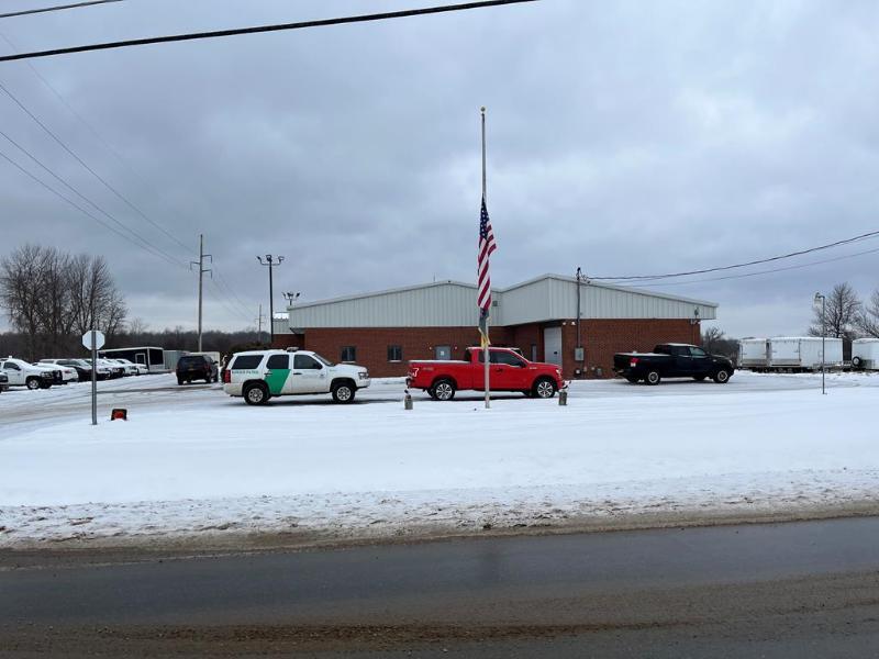
1969 Ridge Rd
Plattsburgh, NY
Clinton
092889-033-000-0001-010-003-0000
New York
Policefirecivildefense
2 AC
X
Upstate New York Area
36019C0277E
Other Market Areas
8,592 SF
DEMOGRAPHICS near 1969 Ridge Rd
1 Mile
3 Mile
5 Mile
2024 Total Population
1,057
2,281
5,714
2029 Population
1,033
2,239
5,654
Pop Growth 2024-2029
(2.27%)
(1.84%)
(1.05%)
Average Age
42
43
44
2024 Total Households
454
960
2,541
HH Growth 2024-2029
(2.42%)
(1.88%)
(1.06%)
Median Household Inc
$51,818
$58,663
$53,351
Avg Household Size
2.30
2.30
2.20
2024 Avg HH Vehicles
2.00
2.00
2.00
Median Home Value
$115,741
$131,625
$141,519
Median Year Built
1963
1964
1967
Nearby Places
- Restaurants
- Banks
- Shops
- Fitness
- Groceries
PUBLIC TRANSPORTATION
COMMUTER RAIL
Rouses Point Amtrak (Adirondack - Amtrak)
DRIVE
WALK
Distance
Rouses Point Amtrak (Adirondack - Amtrak)
7 min
5.9 mi
AIRPORT
Plattsburgh International
DRIVE
WALK
Distance
Plattsburgh International
33 min
24.7 mi
Freight Ports
Montreal
DRIVE
WALK
Distance
Montreal
63 min
45.1 mi
SALE & LEASE HISTORY
LISTING DATE
SALE/LEASE

Jan 12, 2022
For Sale
Nearby Properties
Address
Land Use
TOTAL SIZE
Lot Size
Zoning
Address
Land Use
TOTAL SIZE
Lot Size
Zoning
174,431 SF
77.40 AC
Address
Land Use
TOTAL SIZE
Lot Size
Zoning
23,178 SF
24.70 AC
01 - NOT Z
Address
Land Use
TOTAL SIZE
Lot Size
Zoning
Address
Land Use
TOTAL SIZE
Lot Size
Zoning
12,960 SF
13.80 AC
Address
Land Use
TOTAL SIZE
Lot Size
Zoning
Address
Land Use
TOTAL SIZE
Lot Size
Zoning
14.42 AC
Address
Land Use
TOTAL SIZE
Lot Size
Zoning
37,809 SF
1.20 AC
05
Address
Land Use
TOTAL SIZE
Lot Size
Zoning
100,000 SF
11.60 AC
Address
Land Use
TOTAL SIZE
Lot Size
Zoning
14.26 AC
Address
Land Use
TOTAL SIZE
Lot Size
Zoning
Address
Land Use
TOTAL SIZE
Lot Size
Zoning
270,700 SF
18.80 AC
Address
Land Use
TOTAL SIZE
Lot Size
Zoning
19,000 SF
5.84 AC
Address
Land Use
TOTAL SIZE
Lot Size
Zoning
5,890 SF
2.60 AC
Address
Land Use
TOTAL SIZE
Lot Size
Zoning
6.94 AC
Address
Land Use
TOTAL SIZE
Lot Size
Zoning
134,400 SF
11.60 AC
Address
Land Use
TOTAL SIZE
Lot Size
Zoning
27.50 AC
01
Address
Land Use
TOTAL SIZE
Lot Size
Zoning
71,500 SF
5.50 AC
01 - NOT Z
Address
Land Use
TOTAL SIZE
Lot Size
Zoning
50,000 SF
11.42 AC
Address
Land Use
TOTAL SIZE
Lot Size
Zoning
59,916 SF
17.20 AC
05
Address
Land Use
TOTAL SIZE
Lot Size
Zoning
40,000 SF
3.35 AC
Address
Land Use
TOTAL SIZE
Lot Size
Zoning
312.80 AC
Address
Land Use
TOTAL SIZE
Lot Size
Zoning
5.30 AC
Address
Land Use
TOTAL SIZE
Lot Size
Zoning
33,500 SF
9.72 AC
Address
Land Use
TOTAL SIZE
Lot Size
Zoning
20,000 SF
8.10 AC
Address
Land Use
TOTAL SIZE
Lot Size
Zoning
19,747 SF
6.20 AC
Address
Land Use
TOTAL SIZE
Lot Size
Zoning
40,000 SF
6.09 AC
Address
Land Use
TOTAL SIZE
Lot Size
Zoning
2,976 SF
2.20 AC
Address
Land Use
TOTAL SIZE
Lot Size
Zoning
35,000 SF
3.54 AC
05
Address
Land Use
TOTAL SIZE
Lot Size
Zoning
2.34 AC
Address
Land Use
TOTAL SIZE
Lot Size
Zoning
3.80 AC
The World's #1 Commercial Real Estate Marketplace
Connect with us
© 2025 CoStar Group
The information above has been obtained from sources believed reliable. While we do not doubt its accuracy we have not verified it and make no guarantee, warranty or representation about it. It is your responsibility to independently confirm its accuracy and completeness. Any projections, opinions, assumptions, or estimates used are for example only and do not represent the current or future performance of the property. The value of this transaction to you depends on tax and other factors which should be evaluated by your tax, financial, and legal advisors. You and your advisors should conduct a careful, independent investigation of the property to determine to your satisfaction the suitability of the property for your needs.