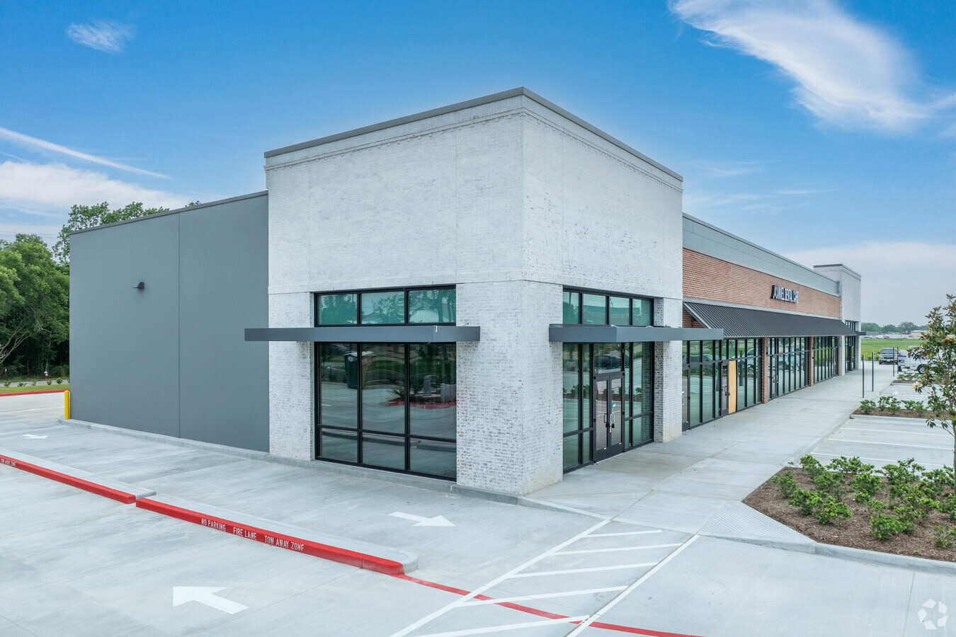
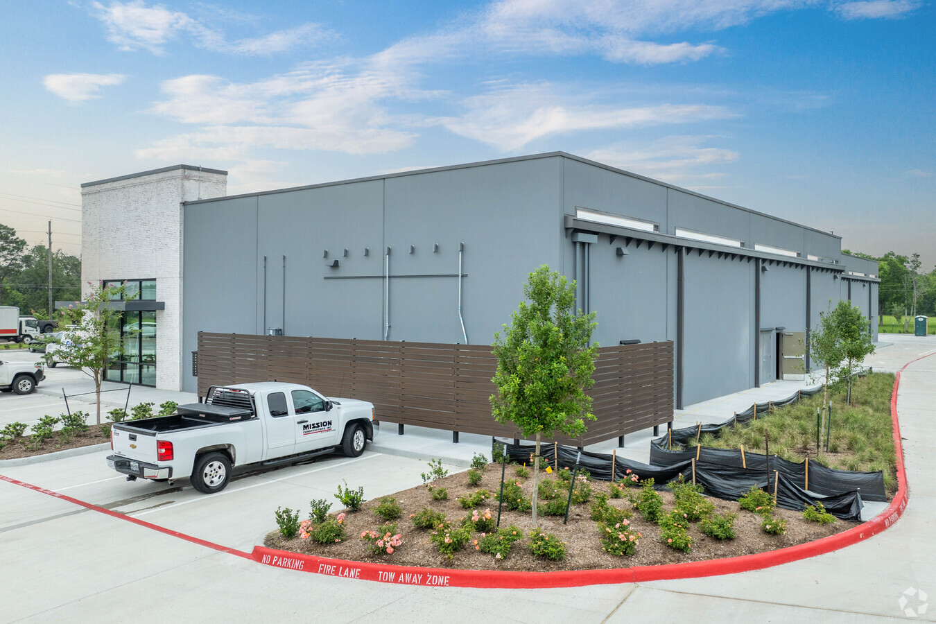
Property Record
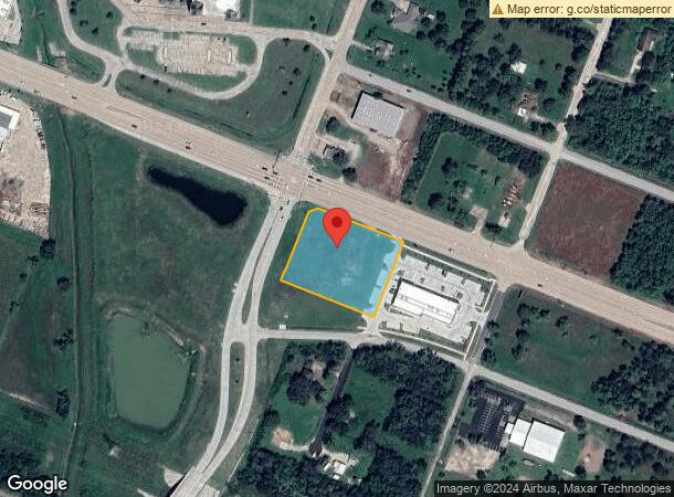
19710 Highway 6, Manvel, TX 77578
Current Lease Availabilities
NEARBY LISTINGS FOR SALE OR LEASE
Property Detail
19710 Highway 6
Houston-The Woodlands-Sugar Land, TX
Meridiana Highway 6 Comm Res No 2 (Manve
6582-2001-001
MERIDIANA HIGHWAY 6 COMM RES NO 2 (MANVEL) LOT RESERVE A ACRES 4.022
Commercialnec
Brazoria
AO
Texas
48039C0130K
a
2023
4.02 AC
2024
Far South
661501
Houston
14,771 SF
DEMOGRAPHICS near 19710 Highway 6
1 Mile
3 Mile
5 Mile
2024 Total Population
2,421
10,922
54,276
2029 Population
2,798
12,546
61,507
Pop Growth 2024-2029
+ 15.57%
+ 14.87%
+ 13.32%
Average Age
39
38
36
2024 Total Households
851
3,703
17,602
HH Growth 2024-2029
+ 15.75%
+ 15.01%
+ 13.45%
Median Household Inc
$110,500
$98,071
$106,668
Avg Household Size
2.80
2.90
3.00
2024 Avg HH Vehicles
2.00
2.00
2.00
Median Home Value
$296,031
$309,764
$322,270
Median Year Built
2010
2010
2009
Nearby Places
- Restaurants
- Banks
- Shops
- Fitness
- Groceries
PUBLIC TRANSPORTATION
AIRPORT
William P Hobby
Drive
Walk
Distance
William P Hobby
31 min
16.1 mi
Freight Ports
Port of Houston
Drive
Walk
Distance
Port of Houston
38 min
26.8 mi
Nearby Properties
Address
Land Use
TOTAL SIZE
Lot Size
Zoning
Address
Land Use
TOTAL SIZE
Lot Size
Zoning
114.04 AC
Address
Land Use
TOTAL SIZE
Lot Size
Zoning
125750
28.32 AC
Address
Land Use
TOTAL SIZE
Lot Size
Zoning
120380
15.56 AC
Address
Land Use
TOTAL SIZE
Lot Size
Zoning
93990
15.73 AC
Address
Land Use
TOTAL SIZE
Lot Size
Zoning
21.99 AC
0258
Address
Land Use
TOTAL SIZE
Lot Size
Zoning
70033
17.97 AC
Address
Land Use
TOTAL SIZE
Lot Size
Zoning
172015
18.36 AC
Address
Land Use
TOTAL SIZE
Lot Size
Zoning
17.17 AC
Address
Land Use
TOTAL SIZE
Lot Size
Zoning
4991
4.59 AC
Address
Land Use
TOTAL SIZE
Lot Size
Zoning
44735
120.87 AC
0010
Address
Land Use
TOTAL SIZE
Lot Size
Zoning
28083
13.08 AC
Address
Land Use
TOTAL SIZE
Lot Size
Zoning
214827
15.70 AC
0033
Address
Land Use
TOTAL SIZE
Lot Size
Zoning
94094
5.86 AC
Address
Land Use
TOTAL SIZE
Lot Size
Zoning
136.01 AC
0003
Address
Land Use
TOTAL SIZE
Lot Size
Zoning
21300
12.92 AC
Address
Land Use
TOTAL SIZE
Lot Size
Zoning
48750
2.82 AC
Address
Land Use
TOTAL SIZE
Lot Size
Zoning
25200
5.08 AC
Address
Land Use
TOTAL SIZE
Lot Size
Zoning
11628
1.86 AC
0009
Address
Land Use
TOTAL SIZE
Lot Size
Zoning
3159
64.95 AC
0227
Address
Land Use
TOTAL SIZE
Lot Size
Zoning
29625
2.01 AC
Address
Land Use
TOTAL SIZE
Lot Size
Zoning
50400
4.23 AC
0013
Address
Land Use
TOTAL SIZE
Lot Size
Zoning
12240
1.46 AC
0240
Address
Land Use
TOTAL SIZE
Lot Size
Zoning
14768
1.30 AC
Address
Land Use
TOTAL SIZE
Lot Size
Zoning
7788
2.03 AC
Address
Land Use
TOTAL SIZE
Lot Size
Zoning
134.41 AC
Address
Land Use
TOTAL SIZE
Lot Size
Zoning
9298
3.22 AC
Address
Land Use
TOTAL SIZE
Lot Size
Zoning
9020
3.12 AC
Address
Land Use
TOTAL SIZE
Lot Size
Zoning
3257
105.54 AC
0428
Address
Land Use
TOTAL SIZE
Lot Size
Zoning
14360
1.68 AC
Address
Land Use
TOTAL SIZE
Lot Size
Zoning
13750
12.42 AC
0222
Start a new search to find other properties for sale or lease
Connect with us
© 2024 CoStar Group
The information above has been obtained from sources believed reliable. While we do not doubt its accuracy we have not verified it and make no guarantee, warranty or representation about it. It is your responsibility to independently confirm its accuracy and completeness. Any projections, opinions, assumptions, or estimates used are for example only and do not represent the current or future performance of the property. The value of this transaction to you depends on tax and other factors which should be evaluated by your tax, financial, and legal advisors. You and your advisors should conduct a careful, independent investigation of the property to determine to your satisfaction the suitability of the property for your needs.