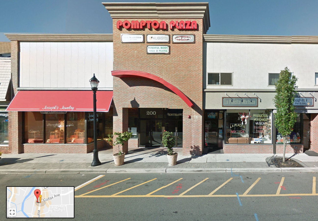
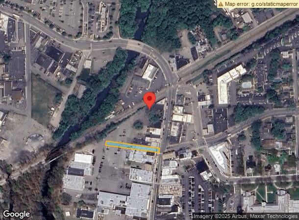
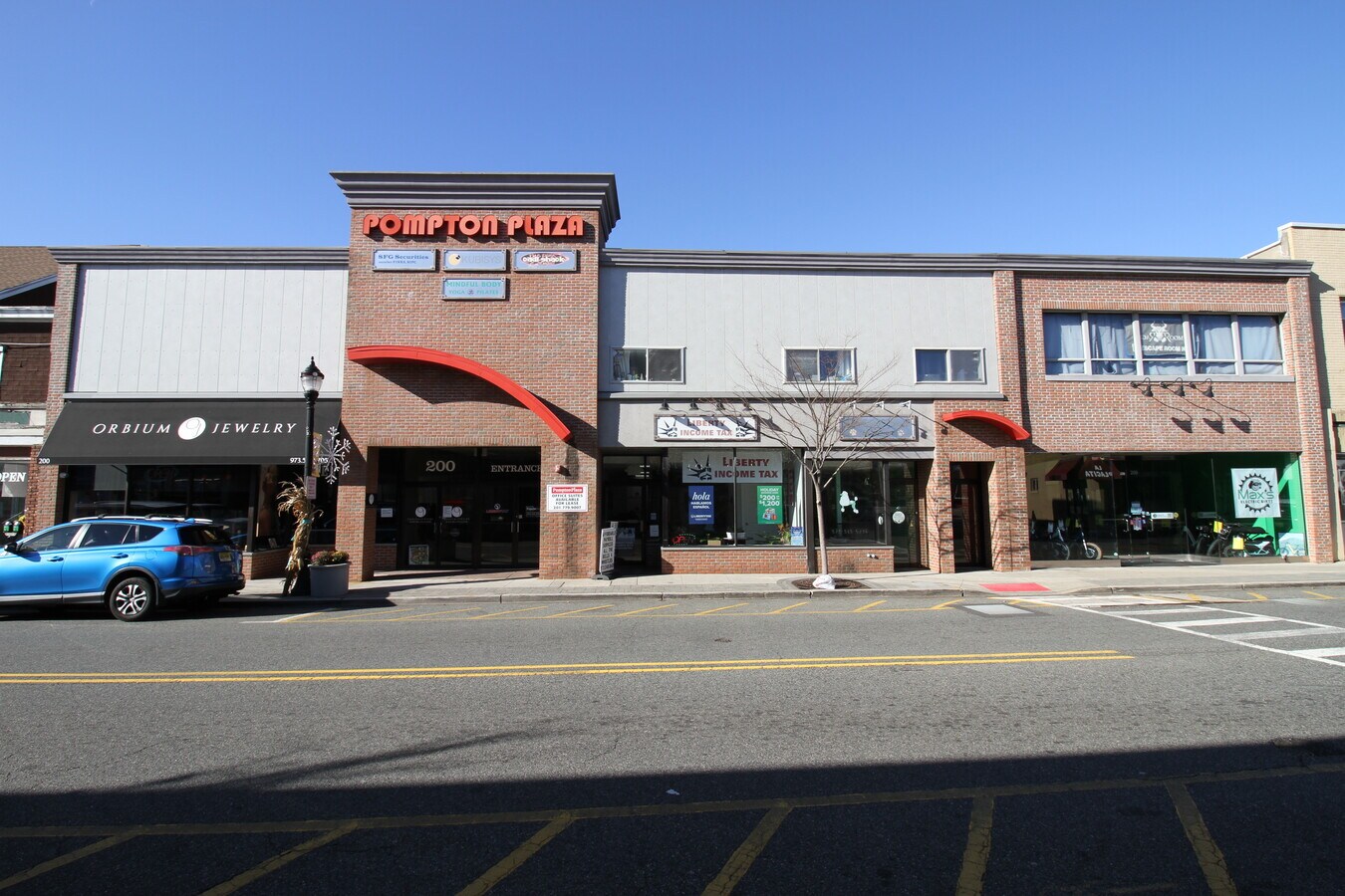
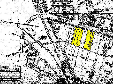
Property Record
198 Wanaque Ave, Pompton Lakes, NJ 07442
Current Lease Availabilities
General Retail LEASE
$18.61 - $22.50 SF/YR
900 - 1,600 SF
NEARBY LISTINGS FOR SALE OR LEASE
-
-
No Photo
-
-
-
-
-
-
View all Pompton Lakes listings for lease on LoopNet.com
Property Detail
198 Wanaque Ave
New York-Jersey City-White Plains, NY-NJ
ADDITIONAL LOTS: 7,8
09-03000-0000-00006
Passaic
Storebuilding
New Jersey
AE
6
34031C0143G
1.01 AC
2023
Upper Suburban Passaic
2024
Northern New Jersey
196403
DEMOGRAPHICS near 198 Wanaque Ave
1 Mile
3 Mile
5 Mile
2024 Total Population
9,562
56,679
122,345
2029 Population
9,539
56,394
121,757
Pop Growth 2024-2029
(0.24%)
(0.50%)
(0.48%)
Average Age
42
44
43
2024 Total Households
3,809
22,000
45,290
HH Growth 2024-2029
(0.32%)
(0.68%)
(0.67%)
Median Household Inc
$98,875
$111,025
$122,101
Avg Household Size
2.50
2.50
2.60
2024 Avg HH Vehicles
2.00
2.00
2.00
Median Home Value
$387,473
$401,843
$463,574
Median Year Built
1965
1965
1966
Nearby Places
- Restaurants
- Banks
- Shops
- Fitness
- Groceries
PUBLIC TRANSPORTATION
COMMUTER RAIL
Lincoln Park (Montclair-Boonton Line - NJ Transit Commuter Rail (NJ Transit))
DRIVE
WALK
Distance
Lincoln Park (Montclair-Boonton Line - NJ Transit Commuter Rail (NJ Transit))
11 min
6.7 mi
AIRPORT
Newark Liberty International
DRIVE
WALK
Distance
Newark Liberty International
37 min
30.5 mi
Laguardia
DRIVE
WALK
Distance
Laguardia
50 min
35.4 mi
Freight Ports
Port Newark Container Terminal
DRIVE
WALK
Distance
Port Newark Container Terminal
42 min
29.8 mi
Nearby Properties
Address
Land Use
TOTAL SIZE
Lot Size
Zoning
Address
Land Use
TOTAL SIZE
Lot Size
Zoning
143.16 AC
PUD
Address
Land Use
TOTAL SIZE
Lot Size
Zoning
10.88 AC
Address
Land Use
TOTAL SIZE
Lot Size
Zoning
264,080 SF
44.44 AC
HB
Address
Land Use
TOTAL SIZE
Lot Size
Zoning
18.76 AC
C-3
Address
Land Use
TOTAL SIZE
Lot Size
Zoning
10.55 AC
IP
Address
Land Use
TOTAL SIZE
Lot Size
Zoning
5.01 AC
IP
Address
Land Use
TOTAL SIZE
Lot Size
Zoning
231.26 AC
PRC
Address
Land Use
TOTAL SIZE
Lot Size
Zoning
334,755 SF
107.89 AC
Address
Land Use
TOTAL SIZE
Lot Size
Zoning
14.04 AC
B2
Address
Land Use
TOTAL SIZE
Lot Size
Zoning
8.07 AC
IP
Address
Land Use
TOTAL SIZE
Lot Size
Zoning
49,925 SF
4.08 AC
R-4
Address
Land Use
TOTAL SIZE
Lot Size
Zoning
10.42 AC
B2
Address
Land Use
TOTAL SIZE
Lot Size
Zoning
25,064 SF
14.53 AC
HB
Address
Land Use
TOTAL SIZE
Lot Size
Zoning
131,306 SF
14.40 AC
HB
Address
Land Use
TOTAL SIZE
Lot Size
Zoning
7.58 AC
R-4
Address
Land Use
TOTAL SIZE
Lot Size
Zoning
1,675.67 AC
Address
Land Use
TOTAL SIZE
Lot Size
Zoning
103,603 SF
12.12 AC
LI
Address
Land Use
TOTAL SIZE
Lot Size
Zoning
Address
Land Use
TOTAL SIZE
Lot Size
Zoning
6.98 AC
IP
Address
Land Use
TOTAL SIZE
Lot Size
Zoning
109,848 SF
14.01 AC
HB
Address
Land Use
TOTAL SIZE
Lot Size
Zoning
6 AC
IP
Address
Land Use
TOTAL SIZE
Lot Size
Zoning
6.30 AC
I-2
Address
Land Use
TOTAL SIZE
Lot Size
Zoning
13.72 AC
RO
Address
Land Use
TOTAL SIZE
Lot Size
Zoning
8.87 AC
RA1
Address
Land Use
TOTAL SIZE
Lot Size
Zoning
8,978 SF
7.04 AC
R-4
Address
Land Use
TOTAL SIZE
Lot Size
Zoning
2,372 SF
5 AC
IP
Address
Land Use
TOTAL SIZE
Lot Size
Zoning
2.93 AC
B-5
Address
Land Use
TOTAL SIZE
Lot Size
Zoning
6.95 AC
I-2
Address
Land Use
TOTAL SIZE
Lot Size
Zoning
2.50 AC
B2
Address
Land Use
TOTAL SIZE
Lot Size
Zoning
434 SF
53.04 AC
I-3
The World's #1 Commercial Real Estate Marketplace
Connect with us
© 2025 CoStar Group
The information above has been obtained from sources believed reliable. While we do not doubt its accuracy we have not verified it and make no guarantee, warranty or representation about it. It is your responsibility to independently confirm its accuracy and completeness. Any projections, opinions, assumptions, or estimates used are for example only and do not represent the current or future performance of the property. The value of this transaction to you depends on tax and other factors which should be evaluated by your tax, financial, and legal advisors. You and your advisors should conduct a careful, independent investigation of the property to determine to your satisfaction the suitability of the property for your needs.