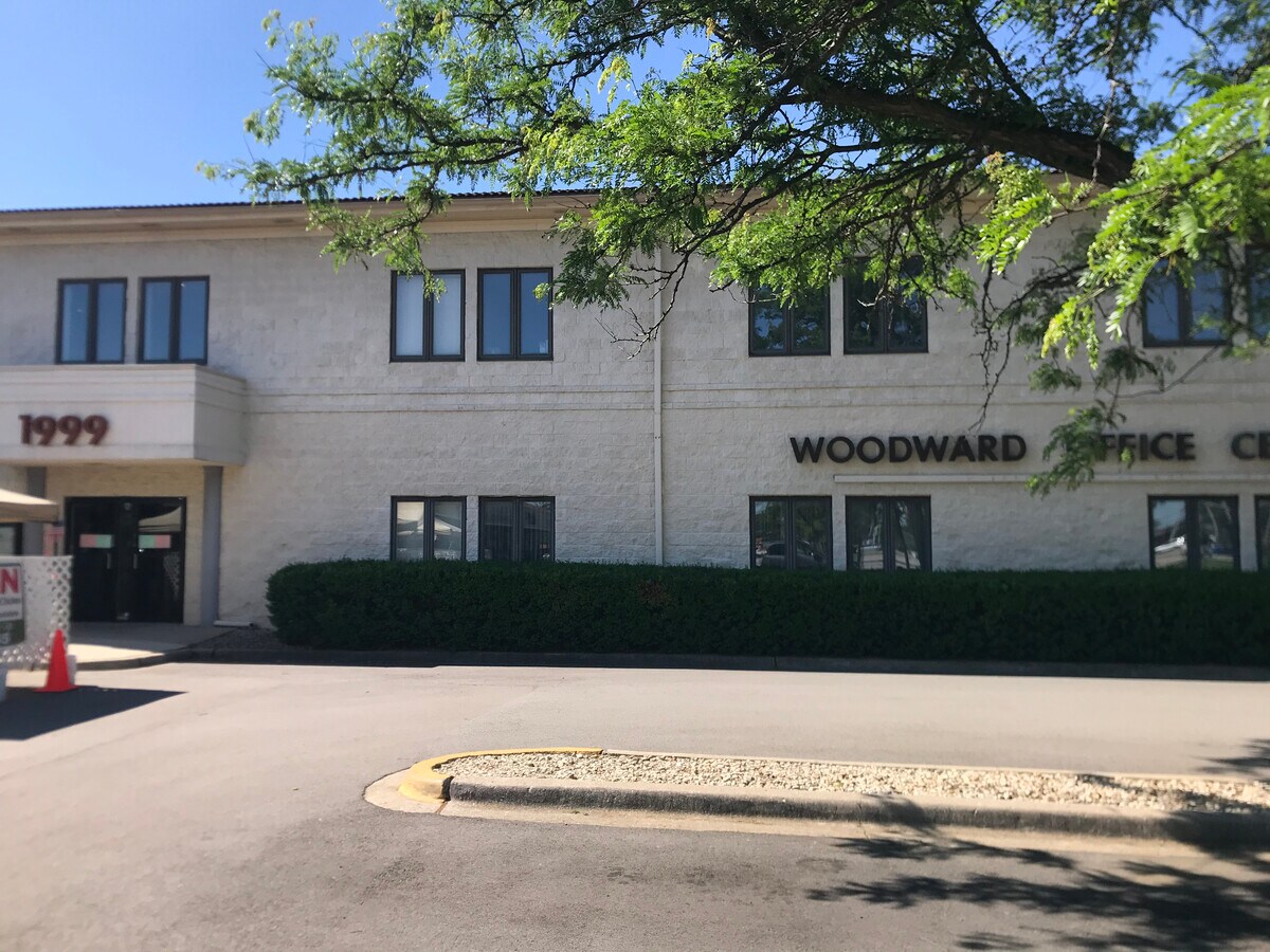
Property Record
1900 75Th St, Woodridge, IL 60517


Current Lease Availabilities
NEARBY LISTINGS FOR SALE OR LEASE
Property Detail
1900 75Th St
Chicago-Naperville-Elgin, IL-IN-WI
Lancaster Fare Phase 3
09-30-301-025
LANCASTER FARE PHASE 3 OUT LOT A
Commercialnec
DuPage
X
Illinois
17043C0257J
a
2023
2.58 AC
2023
Western East/West Corr
845703
Chicago
4,745 SF
DEMOGRAPHICS near 1900 75Th St
1 Mile
3 Mile
5 Mile
2024 Total Population
16,427
95,768
247,774
2029 Population
16,295
94,612
244,963
Pop Growth 2024-2029
(0.80%)
(1.21%)
(1.13%)
Average Age
39
42
41
2024 Total Households
6,260
38,176
97,276
HH Growth 2024-2029
(0.93%)
(1.22%)
(1.17%)
Median Household Inc
$85,291
$94,855
$96,808
Avg Household Size
2.60
2.50
2.50
2024 Avg HH Vehicles
2.00
2.00
2.00
Median Home Value
$338,303
$343,778
$358,197
Median Year Built
1980
1978
1977
Nearby Places
- Restaurants
- Banks
- Shops
- Fitness
- Groceries
PUBLIC TRANSPORTATION
COMMUTER RAIL
Belmont Station (Burlington Northern-Santa Fe Railway Line - Northeast Illinois Regional Commuter Railroad (Metra))
DRIVE
WALK
Distance
Belmont Station (Burlington Northern-Santa Fe Railway Line - Northeast Illinois Regional Commuter Railroad (Metra))
8 min
3.6 mi
Downers Grove Main Street Station (Burlington Northern-Santa Fe Railway Line - Northeast Illinois Regional Commuter Railroad (Metra))
DRIVE
WALK
Distance
Downers Grove Main Street Station (Burlington Northern-Santa Fe Railway Line - Northeast Illinois Regional Commuter Railroad (Metra))
9 min
4.3 mi
AIRPORT
Chicago Midway International
DRIVE
WALK
Distance
Chicago Midway International
26 min
17.0 mi
Chicago O'Hare International
DRIVE
WALK
Distance
Chicago O'Hare International
39 min
25.8 mi
Freight Ports
Port Milwaukee
DRIVE
WALK
Distance
Port Milwaukee
120 min
97.6 mi
Nearby Properties
Address
Land Use
TOTAL SIZE
Lot Size
Zoning
Address
Land Use
TOTAL SIZE
Lot Size
Zoning
12.96 AC
M
Address
Land Use
TOTAL SIZE
Lot Size
Zoning
5.13 AC
M
Address
Land Use
TOTAL SIZE
Lot Size
Zoning
21,520 SF
32.67 AC
Address
Land Use
TOTAL SIZE
Lot Size
Zoning
439,070 SF
38.77 AC
C
Address
Land Use
TOTAL SIZE
Lot Size
Zoning
16.28 AC
M
Address
Land Use
TOTAL SIZE
Lot Size
Zoning
21.12 AC
Address
Land Use
TOTAL SIZE
Lot Size
Zoning
315,708 SF
21.95 AC
M
Address
Land Use
TOTAL SIZE
Lot Size
Zoning
18.23 AC
M
Address
Land Use
TOTAL SIZE
Lot Size
Zoning
19.02 AC
M
Address
Land Use
TOTAL SIZE
Lot Size
Zoning
308,196 SF
17.65 AC
M
Address
Land Use
TOTAL SIZE
Lot Size
Zoning
8.53 AC
M
Address
Land Use
TOTAL SIZE
Lot Size
Zoning
334,656 SF
17.72 AC
I
Address
Land Use
TOTAL SIZE
Lot Size
Zoning
14.98 AC
M
Address
Land Use
TOTAL SIZE
Lot Size
Zoning
353,286 SF
19.84 AC
Address
Land Use
TOTAL SIZE
Lot Size
Zoning
28.89 AC
Address
Land Use
TOTAL SIZE
Lot Size
Zoning
9.58 AC
M
Address
Land Use
TOTAL SIZE
Lot Size
Zoning
172,947 SF
16.32 AC
R-6
Address
Land Use
TOTAL SIZE
Lot Size
Zoning
314,196 SF
21.08 AC
Address
Land Use
TOTAL SIZE
Lot Size
Zoning
174,179 SF
14.58 AC
C
Address
Land Use
TOTAL SIZE
Lot Size
Zoning
9.97 AC
M
Address
Land Use
TOTAL SIZE
Lot Size
Zoning
199,924 SF
14.16 AC
Address
Land Use
TOTAL SIZE
Lot Size
Zoning
13.42 AC
Address
Land Use
TOTAL SIZE
Lot Size
Zoning
126,165 SF
20.34 AC
Address
Land Use
TOTAL SIZE
Lot Size
Zoning
268,566 SF
15.24 AC
M
Address
Land Use
TOTAL SIZE
Lot Size
Zoning
13.46 AC
M
Address
Land Use
TOTAL SIZE
Lot Size
Zoning
31.43 AC
Address
Land Use
TOTAL SIZE
Lot Size
Zoning
98,767 SF
3.02 AC
Address
Land Use
TOTAL SIZE
Lot Size
Zoning
3,913 SF
16.86 AC
Address
Land Use
TOTAL SIZE
Lot Size
Zoning
148,042 SF
10.44 AC
Address
Land Use
TOTAL SIZE
Lot Size
Zoning
121,968 SF
2.07 AC
The World's #1 Commercial Real Estate Marketplace
Connect with us
© 2025 CoStar Group
The information above has been obtained from sources believed reliable. While we do not doubt its accuracy we have not verified it and make no guarantee, warranty or representation about it. It is your responsibility to independently confirm its accuracy and completeness. Any projections, opinions, assumptions, or estimates used are for example only and do not represent the current or future performance of the property. The value of this transaction to you depends on tax and other factors which should be evaluated by your tax, financial, and legal advisors. You and your advisors should conduct a careful, independent investigation of the property to determine to your satisfaction the suitability of the property for your needs.