Property Record
20 Cameron St, Clinton, MA 01510
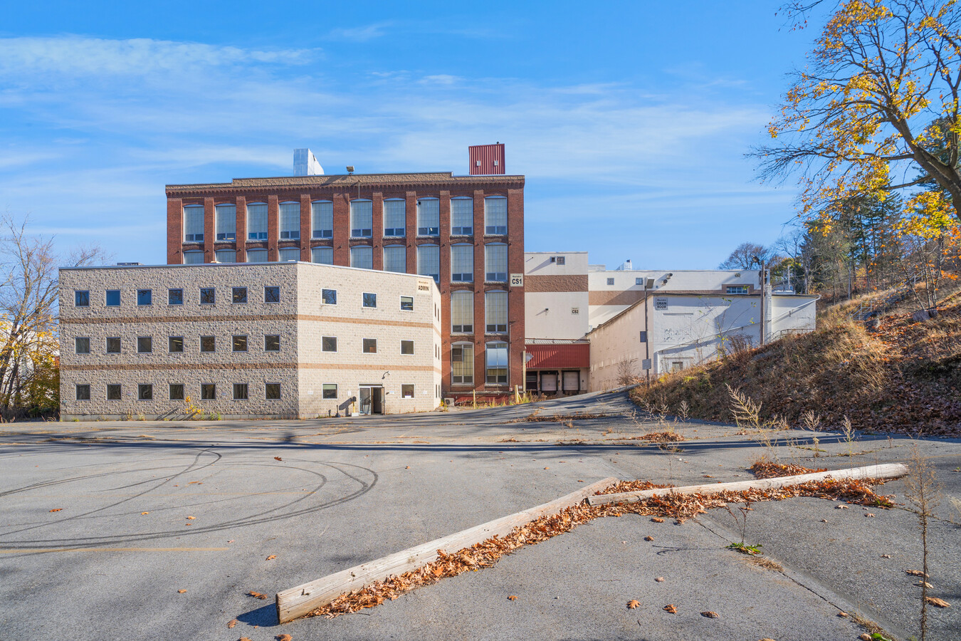
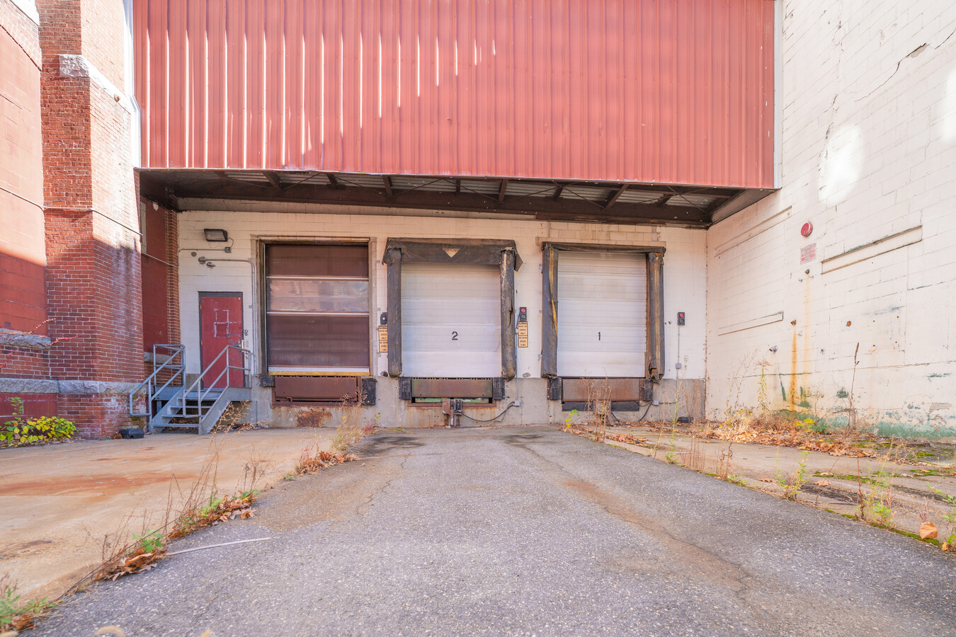
This Property Is For Sale
NEARBY LISTINGS FOR SALE OR LEASE
Property Detail
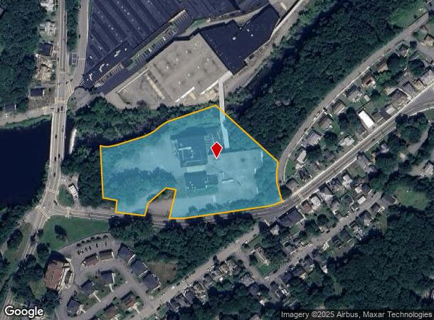
20 Cameron St
CLIN M:0093 B:376 L:0000
Worcester
Industrialgeneral
Massachusetts
X
5.64 AC
25027C0466F
Outlying Worcester
2020
Boston
2025
Worcester, MA-CT
716101
DEMOGRAPHICS near 20 Cameron St
1 Mile
3 Mile
5 Mile
2024 Total Population
9,971
21,785
38,467
2029 Population
9,883
21,699
38,492
Pop Growth 2024-2029
(0.88%)
(0.39%)
+ 0.06%
Average Age
40
42
42
2024 Total Households
4,304
8,978
15,044
HH Growth 2024-2029
(0.91%)
(0.52%)
(0.04%)
Median Household Inc
$83,323
$90,502
$101,940
Avg Household Size
2.30
2.40
2.50
2024 Avg HH Vehicles
2.00
2.00
2.00
Median Home Value
$341,693
$387,633
$438,871
Median Year Built
1948
1958
1969
Nearby Places
- Restaurants
- Banks
- Shops
- Fitness
- Groceries
PUBLIC TRANSPORTATION
AIRPORT
Worcester Regional
DRIVE
WALK
Distance
Worcester Regional
33 min
17.6 mi
Freight Ports
Port of Boston
DRIVE
WALK
Distance
Port of Boston
64 min
46.0 mi
Nearby Properties
Address
Land Use
TOTAL SIZE
Lot Size
Zoning
Address
Land Use
TOTAL SIZE
Lot Size
Zoning
26.80 AC
Address
Land Use
TOTAL SIZE
Lot Size
Zoning
344,000 SF
20.63 AC
Address
Land Use
TOTAL SIZE
Lot Size
Zoning
168,653 SF
6.50 AC
Address
Land Use
TOTAL SIZE
Lot Size
Zoning
455,636 SF
54.47 AC
Address
Land Use
TOTAL SIZE
Lot Size
Zoning
85,557 SF
9.27 AC
Address
Land Use
TOTAL SIZE
Lot Size
Zoning
64,497 SF
3.27 AC
Address
Land Use
TOTAL SIZE
Lot Size
Zoning
8.46 AC
Address
Land Use
TOTAL SIZE
Lot Size
Zoning
128,324 SF
1.03 AC
Address
Land Use
TOTAL SIZE
Lot Size
Zoning
174,412 SF
Address
Land Use
TOTAL SIZE
Lot Size
Zoning
12.69 AC
Address
Land Use
TOTAL SIZE
Lot Size
Zoning
2.37 AC
Address
Land Use
TOTAL SIZE
Lot Size
Zoning
16,504 SF
0.45 AC
Address
Land Use
TOTAL SIZE
Lot Size
Zoning
5,050 SF
11.92 AC
Address
Land Use
TOTAL SIZE
Lot Size
Zoning
4,536 SF
48.38 AC
Address
Land Use
TOTAL SIZE
Lot Size
Zoning
158,900 SF
80 AC
Address
Land Use
TOTAL SIZE
Lot Size
Zoning
48,240 SF
0.59 AC
Address
Land Use
TOTAL SIZE
Lot Size
Zoning
1.61 AC
Address
Land Use
TOTAL SIZE
Lot Size
Zoning
10,494 SF
12.57 AC
Address
Land Use
TOTAL SIZE
Lot Size
Zoning
884 SF
59.40 AC
R1
Address
Land Use
TOTAL SIZE
Lot Size
Zoning
12.66 AC
Address
Land Use
TOTAL SIZE
Lot Size
Zoning
33,050 SF
7.80 AC
Address
Land Use
TOTAL SIZE
Lot Size
Zoning
0.01 AC
Address
Land Use
TOTAL SIZE
Lot Size
Zoning
7,344 SF
Address
Land Use
TOTAL SIZE
Lot Size
Zoning
26,939 SF
0.75 AC
Address
Land Use
TOTAL SIZE
Lot Size
Zoning
1.81 AC
Address
Land Use
TOTAL SIZE
Lot Size
Zoning
36,878 SF
1.60 AC
Address
Land Use
TOTAL SIZE
Lot Size
Zoning
24,776 SF
13.58 AC
Address
Land Use
TOTAL SIZE
Lot Size
Zoning
12,574 SF
1.18 AC
Address
Land Use
TOTAL SIZE
Lot Size
Zoning
5.64 AC
Address
Land Use
TOTAL SIZE
Lot Size
Zoning
2.80 AC
The World's #1 Commercial Real Estate Marketplace
Connect with us
© 2025 CoStar Group
The information above has been obtained from sources believed reliable. While we do not doubt its accuracy we have not verified it and make no guarantee, warranty or representation about it. It is your responsibility to independently confirm its accuracy and completeness. Any projections, opinions, assumptions, or estimates used are for example only and do not represent the current or future performance of the property. The value of this transaction to you depends on tax and other factors which should be evaluated by your tax, financial, and legal advisors. You and your advisors should conduct a careful, independent investigation of the property to determine to your satisfaction the suitability of the property for your needs.