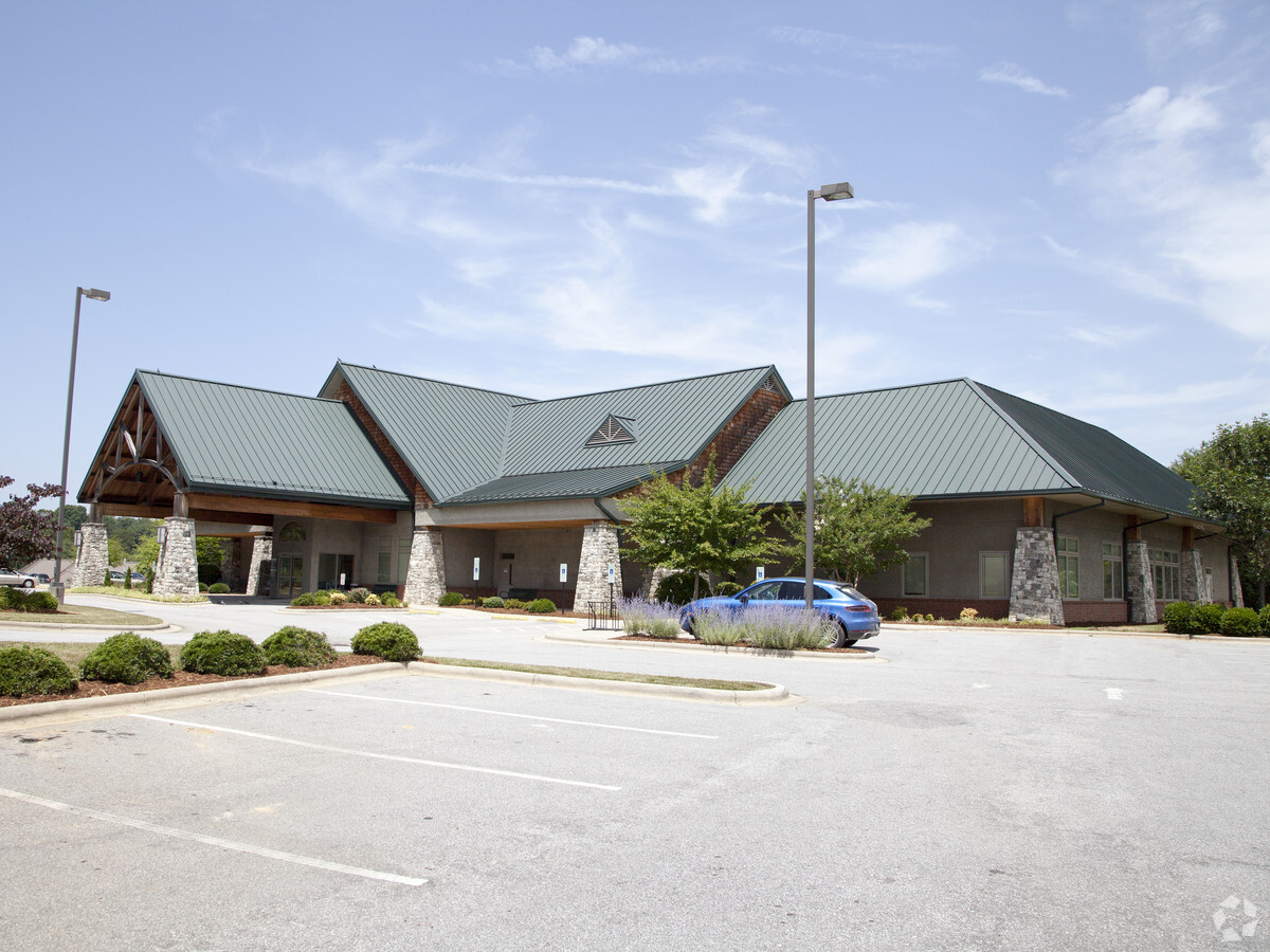
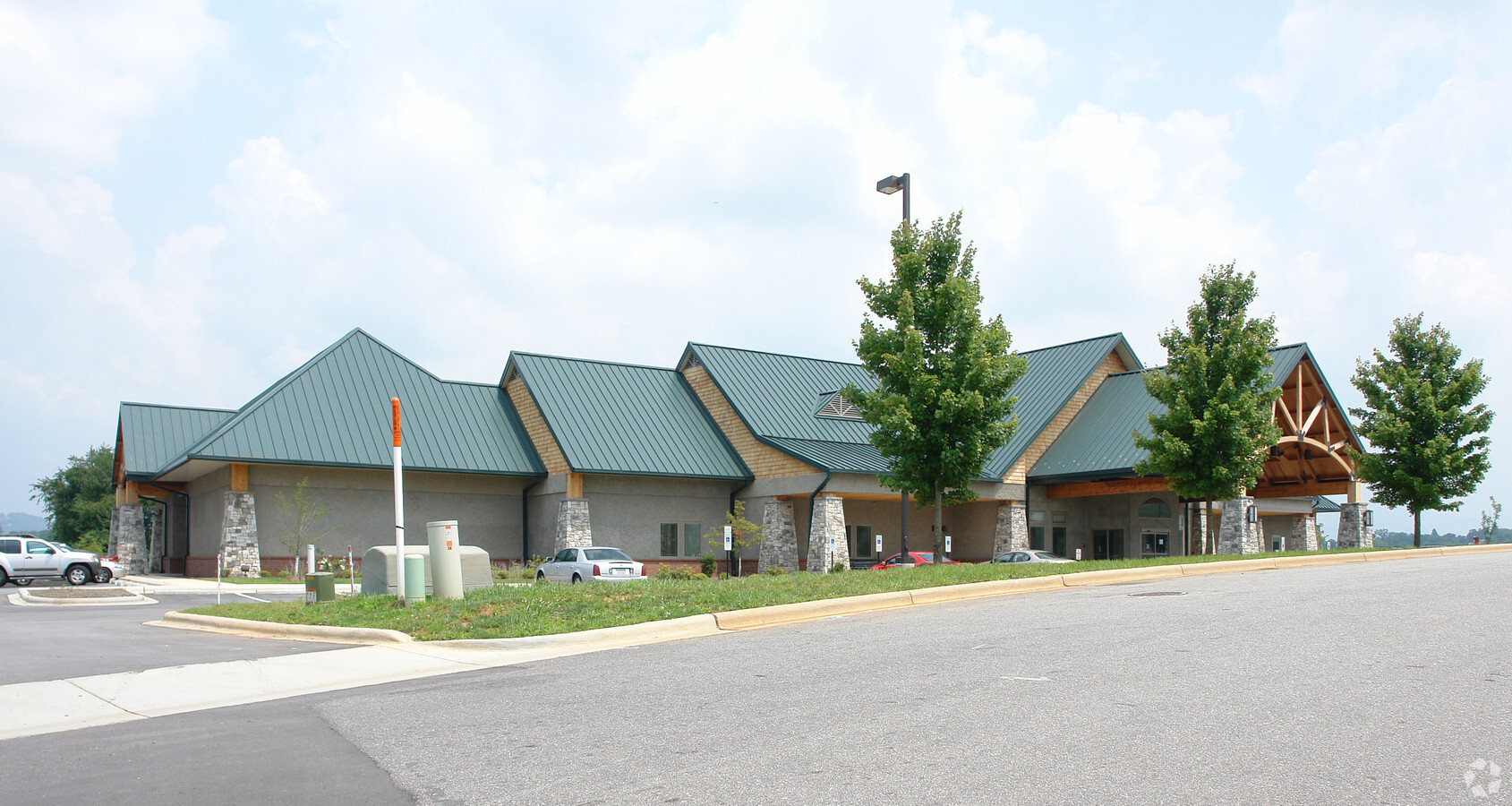
Property Record
20 Medical Park Dr, Asheville, NC 28803

NEARBY LISTINGS FOR SALE OR LEASE
Property Detail
20 Medical Park Dr
Asheville, NC
Regional Medical Park
9657-25-6741-00000
Buncombe
Medicalbuilding
North Carolina
X
4.02 AC
3700965700J
S Asheville/Royal Pines
24,120 SF
Asheville
DEMOGRAPHICS near 20 Medical Park Dr
1 Mile
3 Mile
5 Mile
2024 Total Population
6,283
33,556
87,800
2029 Population
6,476
34,816
91,031
Pop Growth 2024-2029
+ 3.07%
+ 3.75%
+ 3.68%
Average Age
41
42
42
2024 Total Households
2,825
15,580
40,442
HH Growth 2024-2029
+ 2.44%
+ 3.27%
+ 3.19%
Median Household Inc
$57,575
$59,855
$64,123
Avg Household Size
2.10
2.10
2.00
2024 Avg HH Vehicles
2.00
2.00
2.00
Median Home Value
$251,747
$335,350
$380,646
Median Year Built
1985
1983
1982
Nearby Places
- Restaurants
- Banks
- Shops
- Fitness
- Groceries
PUBLIC TRANSPORTATION
AIRPORT
Asheville Regional
DRIVE
WALK
Distance
Asheville Regional
17 min
9.4 mi
Freight Ports
North Charleston Terminal
DRIVE
WALK
Distance
North Charleston Terminal
289 min
253.1 mi
Nearby Properties
Address
Land Use
TOTAL SIZE
Lot Size
Zoning
Address
Land Use
TOTAL SIZE
Lot Size
Zoning
1,663,129 SF
27.85 AC
INST
Address
Land Use
TOTAL SIZE
Lot Size
Zoning
426,749 SF
2,485.30 AC
CS
Address
Land Use
TOTAL SIZE
Lot Size
Zoning
430,117 SF
119.99 AC
COM EXP
Address
Land Use
TOTAL SIZE
Lot Size
Zoning
496,200 SF
109.28 AC
INST
Address
Land Use
TOTAL SIZE
Lot Size
Zoning
94,776 SF
39.70 AC
INST
Address
Land Use
TOTAL SIZE
Lot Size
Zoning
316,968 SF
102.56 AC
PS
Address
Land Use
TOTAL SIZE
Lot Size
Zoning
125,122 SF
13.63 AC
UP
Address
Land Use
TOTAL SIZE
Lot Size
Zoning
170,226 SF
29.47 AC
INST
Address
Land Use
TOTAL SIZE
Lot Size
Zoning
81,765 SF
23.53 AC
HB
Address
Land Use
TOTAL SIZE
Lot Size
Zoning
426,688 SF
40.88 AC
RB
Address
Land Use
TOTAL SIZE
Lot Size
Zoning
112,066 SF
20.92 AC
RM16
Address
Land Use
TOTAL SIZE
Lot Size
Zoning
50,248 SF
12.87 AC
INST
Address
Land Use
TOTAL SIZE
Lot Size
Zoning
79,701 SF
15.26 AC
RM16
Address
Land Use
TOTAL SIZE
Lot Size
Zoning
75,342 SF
8.07 AC
HB
Address
Land Use
TOTAL SIZE
Lot Size
Zoning
99,161 SF
25.88 AC
R-1
Address
Land Use
TOTAL SIZE
Lot Size
Zoning
40,900 SF
13.77 AC
R-5
Address
Land Use
TOTAL SIZE
Lot Size
Zoning
30,000 SF
8.25 AC
INST
Address
Land Use
TOTAL SIZE
Lot Size
Zoning
150,650 SF
18.31 AC
IND
Address
Land Use
TOTAL SIZE
Lot Size
Zoning
71,241 SF
7.75 AC
HB
Address
Land Use
TOTAL SIZE
Lot Size
Zoning
53,842 SF
8.08 AC
RM16
Address
Land Use
TOTAL SIZE
Lot Size
Zoning
68,767 SF
11.59 AC
UP
Address
Land Use
TOTAL SIZE
Lot Size
Zoning
21,344 SF
3.05 AC
INST
Address
Land Use
TOTAL SIZE
Lot Size
Zoning
468,373 SF
11.99 AC
INST
Address
Land Use
TOTAL SIZE
Lot Size
Zoning
103,258 SF
0.62 AC
CBII
Address
Land Use
TOTAL SIZE
Lot Size
Zoning
130,636 SF
13.19 AC
RB
Address
Land Use
TOTAL SIZE
Lot Size
Zoning
141,911 SF
51.27 AC
RM16
Address
Land Use
TOTAL SIZE
Lot Size
Zoning
41,094 SF
1.08 AC
R-5
Address
Land Use
TOTAL SIZE
Lot Size
Zoning
91,448 SF
8.78 AC
INST
Address
Land Use
TOTAL SIZE
Lot Size
Zoning
153,820 SF
13.79 AC
RB
Address
Land Use
TOTAL SIZE
Lot Size
Zoning
47,416 SF
7 AC
RS8
The World's #1 Commercial Real Estate Marketplace
Connect with us
© 2025 CoStar Group
The information above has been obtained from sources believed reliable. While we do not doubt its accuracy we have not verified it and make no guarantee, warranty or representation about it. It is your responsibility to independently confirm its accuracy and completeness. Any projections, opinions, assumptions, or estimates used are for example only and do not represent the current or future performance of the property. The value of this transaction to you depends on tax and other factors which should be evaluated by your tax, financial, and legal advisors. You and your advisors should conduct a careful, independent investigation of the property to determine to your satisfaction the suitability of the property for your needs.