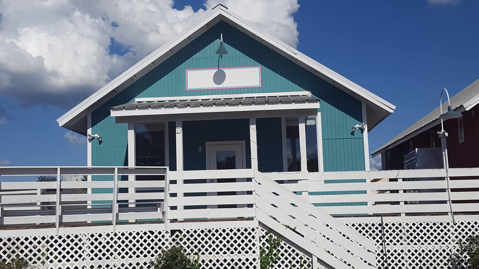
Property Record
200 Deatsville Hwy, Millbrook, AL 36054
NEARBY LISTINGS FOR SALE OR LEASE
Property Detail
200 Deatsville Hwy
Storesoffices
Elmore
X
Alabama
01051C0288F
1 AC
2024
Prattville/Millbrook
2024
Montgomery
031002
Montgomery, AL
7,067 SF
15-05-21-0-004-092020-0
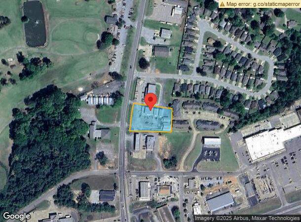
DEMOGRAPHICS near 200 Deatsville Hwy
1 Mile
3 Mile
5 Mile
2024 Total Population
4,972
19,962
41,221
2029 Population
5,023
20,346
42,258
Pop Growth 2024-2029
+ 1.03%
+ 1.92%
+ 2.52%
Average Age
37
38
38
2024 Total Households
2,013
7,592
15,405
HH Growth 2024-2029
+ 0.84%
+ 1.82%
+ 2.37%
Median Household Inc
$42,089
$48,292
$60,066
Avg Household Size
2.50
2.60
2.60
2024 Avg HH Vehicles
2.00
2.00
2.00
Median Home Value
$160,669
$175,905
$184,897
Median Year Built
1996
1995
1998
Nearby Places
- Restaurants
- Banks
- Shops
- Fitness
- Groceries
PUBLIC TRANSPORTATION
AIRPORT
Montgomery Regional (Dannelly Field)
DRIVE
WALK
Distance
Montgomery Regional (Dannelly Field)
26 min
20.9 mi
Freight Ports
Port of Mobile
DRIVE
WALK
Distance
Port of Mobile
197 min
179.9 mi
Nearby Properties
Address
Land Use
TOTAL SIZE
Lot Size
Zoning
Address
Land Use
TOTAL SIZE
Lot Size
Zoning
3,254 SF
15.24 AC
Address
Land Use
TOTAL SIZE
Lot Size
Zoning
217,253 SF
29.84 AC
Address
Land Use
TOTAL SIZE
Lot Size
Zoning
97,120 SF
3.60 AC
Address
Land Use
TOTAL SIZE
Lot Size
Zoning
65,237 SF
5.28 AC
Address
Land Use
TOTAL SIZE
Lot Size
Zoning
71,951 SF
10.44 AC
Address
Land Use
TOTAL SIZE
Lot Size
Zoning
76,896 SF
7.04 AC
Address
Land Use
TOTAL SIZE
Lot Size
Zoning
38,672 SF
1.66 AC
Address
Land Use
TOTAL SIZE
Lot Size
Zoning
50,160 SF
6.61 AC
Address
Land Use
TOTAL SIZE
Lot Size
Zoning
60,164 SF
31.84 AC
Address
Land Use
TOTAL SIZE
Lot Size
Zoning
80,296 SF
8.69 AC
Address
Land Use
TOTAL SIZE
Lot Size
Zoning
33,028 SF
4.49 AC
Address
Land Use
TOTAL SIZE
Lot Size
Zoning
48,408 SF
2.61 AC
Address
Land Use
TOTAL SIZE
Lot Size
Zoning
38,350 SF
10.27 AC
Address
Land Use
TOTAL SIZE
Lot Size
Zoning
14,736 SF
1.99 AC
Address
Land Use
TOTAL SIZE
Lot Size
Zoning
22,260 SF
15.80 AC
Address
Land Use
TOTAL SIZE
Lot Size
Zoning
22,954 SF
11.44 AC
Address
Land Use
TOTAL SIZE
Lot Size
Zoning
1.08 AC
Address
Land Use
TOTAL SIZE
Lot Size
Zoning
27,956 SF
3.57 AC
Address
Land Use
TOTAL SIZE
Lot Size
Zoning
1,050 SF
3.50 AC
Address
Land Use
TOTAL SIZE
Lot Size
Zoning
2,940 SF
2.70 AC
Address
Land Use
TOTAL SIZE
Lot Size
Zoning
37,600 SF
5 AC
Address
Land Use
TOTAL SIZE
Lot Size
Zoning
1,476 SF
4.85 AC
Address
Land Use
TOTAL SIZE
Lot Size
Zoning
14,189 SF
0.84 AC
Address
Land Use
TOTAL SIZE
Lot Size
Zoning
23,224 SF
2.01 AC
Address
Land Use
TOTAL SIZE
Lot Size
Zoning
55,810 SF
15.81 AC
Address
Land Use
TOTAL SIZE
Lot Size
Zoning
26,186 SF
2.57 AC
Address
Land Use
TOTAL SIZE
Lot Size
Zoning
21,592 SF
9.32 AC
Address
Land Use
TOTAL SIZE
Lot Size
Zoning
19,807 SF
2.12 AC
Address
Land Use
TOTAL SIZE
Lot Size
Zoning
20,202 SF
3.60 AC
The World's #1 Commercial Real Estate Marketplace
Connect with us
© 2025 CoStar Group
The information above has been obtained from sources believed reliable. While we do not doubt its accuracy we have not verified it and make no guarantee, warranty or representation about it. It is your responsibility to independently confirm its accuracy and completeness. Any projections, opinions, assumptions, or estimates used are for example only and do not represent the current or future performance of the property. The value of this transaction to you depends on tax and other factors which should be evaluated by your tax, financial, and legal advisors. You and your advisors should conduct a careful, independent investigation of the property to determine to your satisfaction the suitability of the property for your needs.