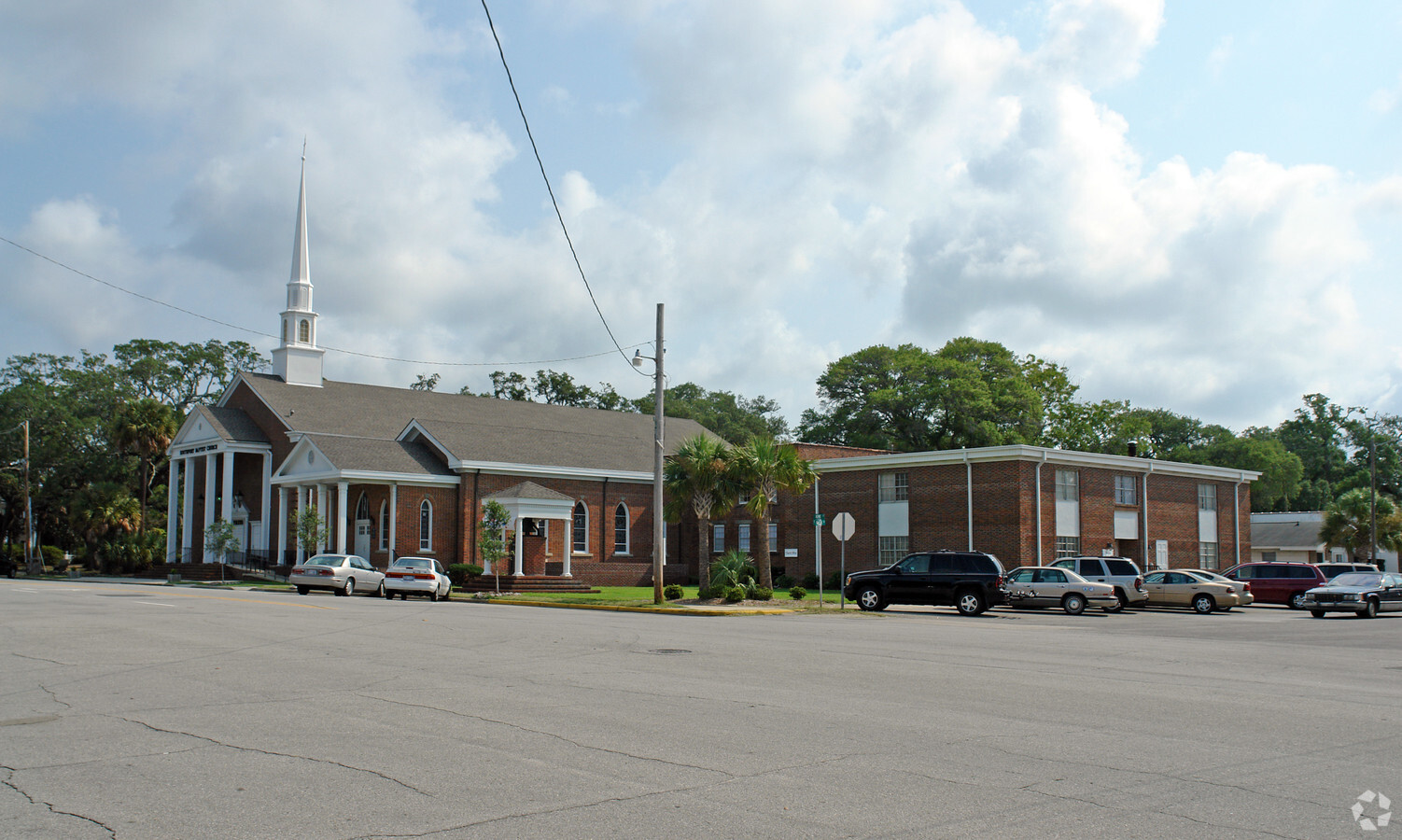
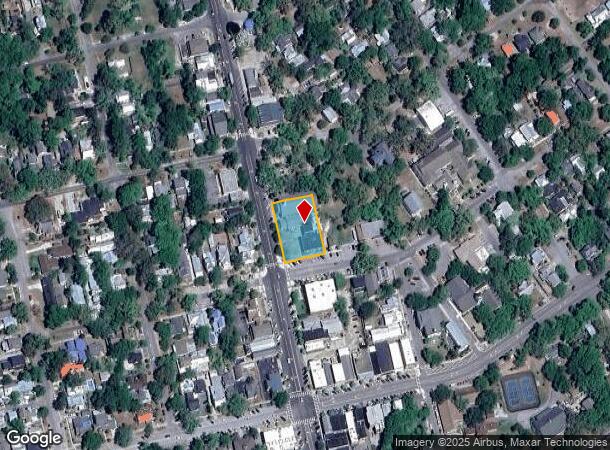
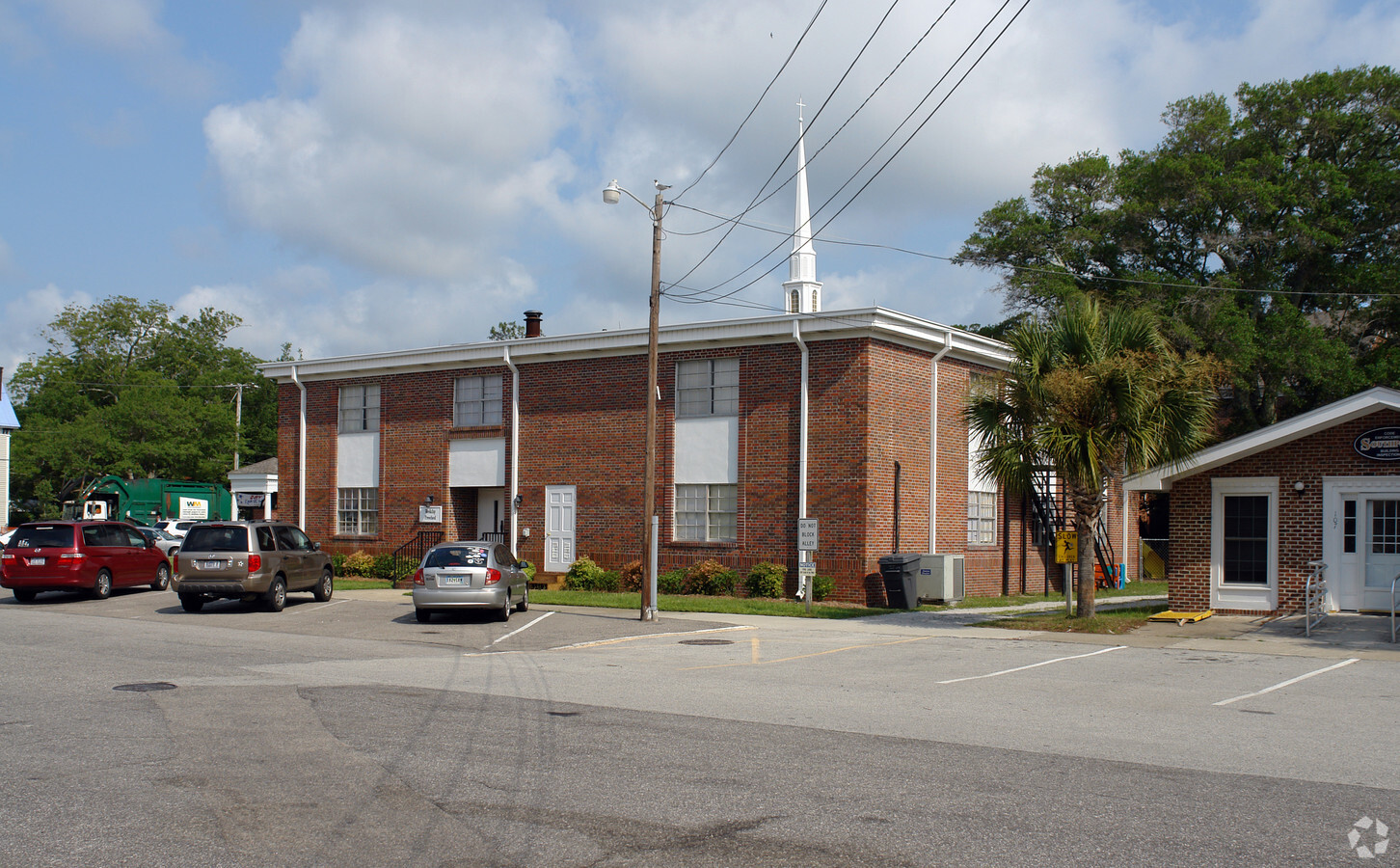
Property Record
200 N Howe St, Southport, NC 28461
NEARBY LISTINGS FOR SALE OR LEASE
-
-
View all Southport listings for sale on LoopNet.com
Property Detail
200 N Howe St
237LC026
L-P/O 67&68 195X132
Religious
Brunswick
X
North Carolina
3720209600K
p/o
0
0.60 AC
2024
Southport/St James
020306
Wilmington
20,352 SF
Myrtle Beach-Conway-North Myrtle Beach, SC-NC
DEMOGRAPHICS near 200 N Howe St
1 Mile
3 Mile
5 Mile
2024 Total Population
2,324
7,876
17,057
2029 Population
2,977
10,194
22,523
Pop Growth 2024-2029
+ 28.10%
+ 29.43%
+ 32.05%
Average Age
55
53
54
2024 Total Households
1,146
3,819
8,262
HH Growth 2024-2029
+ 27.84%
+ 29.27%
+ 32.01%
Median Household Inc
$58,279
$63,374
$68,274
Avg Household Size
2.00
2.00
2.00
2024 Avg HH Vehicles
2.00
2.00
2.00
Median Home Value
$377,026
$311,351
$370,010
Median Year Built
1986
2000
2001
Nearby Places
- Restaurants
- Banks
- Shops
- Fitness
- Groceries
PUBLIC TRANSPORTATION
AIRPORT
Wilmington International
DRIVE
WALK
Distance
Wilmington International
57 min
34.6 mi
Freight Ports
Port of Wilmington
DRIVE
WALK
Distance
Port of Wilmington
47 min
30.3 mi
Nearby Properties
Address
Land Use
TOTAL SIZE
Lot Size
Zoning
Address
Land Use
TOTAL SIZE
Lot Size
Zoning
28,872 SF
248 AC
RR
Address
Land Use
TOTAL SIZE
Lot Size
Zoning
2,757.07 AC
IG
Address
Land Use
TOTAL SIZE
Lot Size
Zoning
16,463 SF
456.73 AC
LI
Address
Land Use
TOTAL SIZE
Lot Size
Zoning
44,200 SF
41.54 AC
OS
Address
Land Use
TOTAL SIZE
Lot Size
Zoning
109,644 SF
3.21 AC
BD
Address
Land Use
TOTAL SIZE
Lot Size
Zoning
11,024 SF
25 AC
R10
Address
Land Use
TOTAL SIZE
Lot Size
Zoning
57,128 SF
4.70 AC
CLD
Address
Land Use
TOTAL SIZE
Lot Size
Zoning
9,697 SF
52.60 AC
BD
Address
Land Use
TOTAL SIZE
Lot Size
Zoning
119,126 SF
22.91 AC
HC
Address
Land Use
TOTAL SIZE
Lot Size
Zoning
41,664 SF
2.07 AC
CLD
Address
Land Use
TOTAL SIZE
Lot Size
Zoning
39,060 SF
1.85 AC
CLD
Address
Land Use
TOTAL SIZE
Lot Size
Zoning
3,696 SF
9.99 AC
SBR6
Address
Land Use
TOTAL SIZE
Lot Size
Zoning
134,680 SF
10.65 AC
CLD
Address
Land Use
TOTAL SIZE
Lot Size
Zoning
34,893 SF
4.48 AC
R10
Address
Land Use
TOTAL SIZE
Lot Size
Zoning
55,956 SF
1.10 AC
HC
Address
Land Use
TOTAL SIZE
Lot Size
Zoning
12,635 SF
8.50 AC
CLD
Address
Land Use
TOTAL SIZE
Lot Size
Zoning
10,812 SF
4.11 AC
R10
Address
Land Use
TOTAL SIZE
Lot Size
Zoning
964 SF
18.93 AC
BD
Address
Land Use
TOTAL SIZE
Lot Size
Zoning
35,885 SF
6.75 AC
CLD
Address
Land Use
TOTAL SIZE
Lot Size
Zoning
4,080 SF
2.20 AC
R10
Address
Land Use
TOTAL SIZE
Lot Size
Zoning
4,722 SF
0.74 AC
R10
Address
Land Use
TOTAL SIZE
Lot Size
Zoning
3,450 SF
3.06 AC
R10
Address
Land Use
TOTAL SIZE
Lot Size
Zoning
20,650 SF
7.65 AC
CLD
Address
Land Use
TOTAL SIZE
Lot Size
Zoning
9,652 SF
1.65 AC
HC
Address
Land Use
TOTAL SIZE
Lot Size
Zoning
13,292 SF
1.66 AC
CLD
Address
Land Use
TOTAL SIZE
Lot Size
Zoning
21,367 SF
3.30 AC
R10
Address
Land Use
TOTAL SIZE
Lot Size
Zoning
22,800 SF
2.83 AC
PUD
Address
Land Use
TOTAL SIZE
Lot Size
Zoning
5,718 SF
0.65 AC
R10
Address
Land Use
TOTAL SIZE
Lot Size
Zoning
5,560 SF
6.71 AC
MF
The World's #1 Commercial Real Estate Marketplace
Connect with us
© 2025 CoStar Group
The information above has been obtained from sources believed reliable. While we do not doubt its accuracy we have not verified it and make no guarantee, warranty or representation about it. It is your responsibility to independently confirm its accuracy and completeness. Any projections, opinions, assumptions, or estimates used are for example only and do not represent the current or future performance of the property. The value of this transaction to you depends on tax and other factors which should be evaluated by your tax, financial, and legal advisors. You and your advisors should conduct a careful, independent investigation of the property to determine to your satisfaction the suitability of the property for your needs.