Property Record
2001 Oakshire Ln, Pueblo, CO 81001
NEARBY LISTINGS FOR SALE OR LEASE
-
-
View all Pueblo listings for sale on LoopNet.com
Property Detail
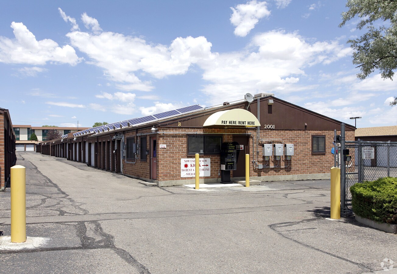
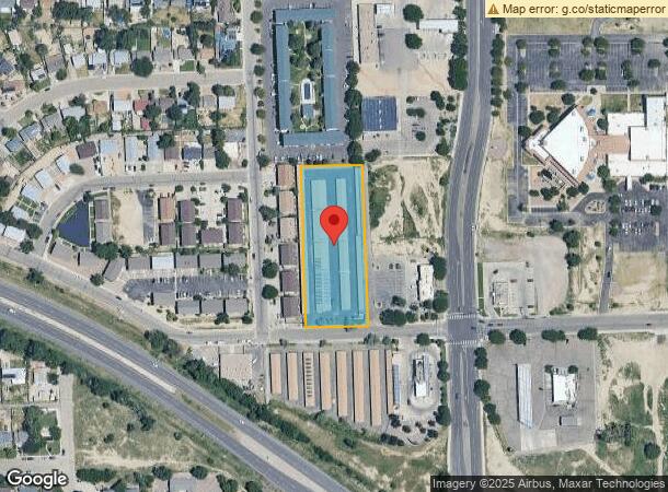
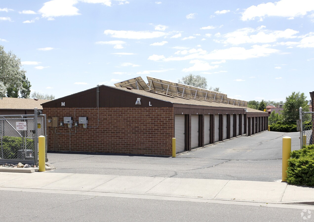
2001 Oakshire Ln
Pueblo, CO
Com-Troy Avenue Bd
0-4-29-1-39-007
LOT 18 & ELY 1 FT OF LOTS 16 & ELY 1 FT OF LOT 17 BLK 51 BELMONT 74TH
Warehouse
Pueblo
X
Colorado
08101C0512D
16-18
2023
1.80 AC
2023
Colorado East Area
000902
Other Market Areas
36,875 SF
DEMOGRAPHICS near 2001 Oakshire Ln
1 Mile
3 Mile
5 Mile
2024 Total Population
14,157
44,964
93,777
2029 Population
14,554
46,177
96,230
Pop Growth 2024-2029
+ 2.80%
+ 2.70%
+ 2.62%
Average Age
38
39
40
2024 Total Households
5,379
17,955
38,505
HH Growth 2024-2029
+ 2.79%
+ 2.87%
+ 2.76%
Median Household Inc
$42,401
$39,973
$45,852
Avg Household Size
2.50
2.30
2.30
2024 Avg HH Vehicles
2.00
2.00
2.00
Median Home Value
$194,160
$211,149
$218,553
Median Year Built
1969
1964
1962
Nearby Places
- Restaurants
- Banks
- Shops
- Fitness
- Groceries
Nearby Properties
Address
Land Use
TOTAL SIZE
Lot Size
Zoning
Address
Land Use
TOTAL SIZE
Lot Size
Zoning
486,484 SF
3.75 AC
R5:RES/MUL
Address
Land Use
TOTAL SIZE
Lot Size
Zoning
51,206 SF
3.69 AC
S-1
Address
Land Use
TOTAL SIZE
Lot Size
Zoning
205,608 SF
4.51 AC
Address
Land Use
TOTAL SIZE
Lot Size
Zoning
3.18 AC
Address
Land Use
TOTAL SIZE
Lot Size
Zoning
59,581 SF
2.06 AC
B4:COMM/RE
Address
Land Use
TOTAL SIZE
Lot Size
Zoning
71,345 SF
5.17 AC
Address
Land Use
TOTAL SIZE
Lot Size
Zoning
71,936 SF
3.43 AC
R4:RES/MUL
Address
Land Use
TOTAL SIZE
Lot Size
Zoning
42,289 SF
0.54 AC
B4:COMM/RE
Address
Land Use
TOTAL SIZE
Lot Size
Zoning
26,255 SF
2.08 AC
Address
Land Use
TOTAL SIZE
Lot Size
Zoning
12,096 SF
4 AC
R5:RES/MUL
Address
Land Use
TOTAL SIZE
Lot Size
Zoning
195,456 SF
21.03 AC
B4:COMM/RE
Address
Land Use
TOTAL SIZE
Lot Size
Zoning
3,224 SF
1.42 AC
R5:RES/MUL
Address
Land Use
TOTAL SIZE
Lot Size
Zoning
122,704 SF
2.72 AC
B4:COMM/RE
Address
Land Use
TOTAL SIZE
Lot Size
Zoning
17,145 SF
0.86 AC
PUD
Address
Land Use
TOTAL SIZE
Lot Size
Zoning
1 SF
1.21 AC
R5:RES/MUL
Address
Land Use
TOTAL SIZE
Lot Size
Zoning
17,160 SF
11.06 AC
S-1
Address
Land Use
TOTAL SIZE
Lot Size
Zoning
3,061 SF
1.10 AC
R2:RES/1 F
Address
Land Use
TOTAL SIZE
Lot Size
Zoning
84,872 SF
0.76 AC
B4:COMM/RE
Address
Land Use
TOTAL SIZE
Lot Size
Zoning
218,600 SF
37.40 AC
I2:IND/MAN
Address
Land Use
TOTAL SIZE
Lot Size
Zoning
35,530 SF
0.54 AC
S1:SPC/PUB
Address
Land Use
TOTAL SIZE
Lot Size
Zoning
9,024 SF
6.85 AC
S1:SPC/PUB
Address
Land Use
TOTAL SIZE
Lot Size
Zoning
17,849 SF
0.55 AC
B4:COMM/RE
Address
Land Use
TOTAL SIZE
Lot Size
Zoning
62,718 SF
4.76 AC
I3:IND/HEA
Address
Land Use
TOTAL SIZE
Lot Size
Zoning
73,768 SF
3.58 AC
Address
Land Use
TOTAL SIZE
Lot Size
Zoning
1 SF
0.97 AC
B4:COMM/RE
Address
Land Use
TOTAL SIZE
Lot Size
Zoning
50,464 SF
9.34 AC
B4:COMM/RE
Address
Land Use
TOTAL SIZE
Lot Size
Zoning
25,180 SF
1.83 AC
B4:COMM/RE
Address
Land Use
TOTAL SIZE
Lot Size
Zoning
141,902 SF
5.08 AC
R5:RES/MUL
Address
Land Use
TOTAL SIZE
Lot Size
Zoning
16,200 SF
1.63 AC
R-4
Address
Land Use
TOTAL SIZE
Lot Size
Zoning
202,847 SF
20.74 AC
B4:COMM/RE
The World's #1 Commercial Real Estate Marketplace
Connect with us
© 2025 CoStar Group
The information above has been obtained from sources believed reliable. While we do not doubt its accuracy we have not verified it and make no guarantee, warranty or representation about it. It is your responsibility to independently confirm its accuracy and completeness. Any projections, opinions, assumptions, or estimates used are for example only and do not represent the current or future performance of the property. The value of this transaction to you depends on tax and other factors which should be evaluated by your tax, financial, and legal advisors. You and your advisors should conduct a careful, independent investigation of the property to determine to your satisfaction the suitability of the property for your needs.