Property Record
201 W Katella Ave, Anaheim, CA 92802


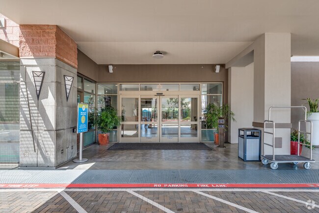
Property Detail
201 W Katella Ave
Anaheim-Santa Ana-Irvine, CA
P BK 10 PG 12 PAR 1 PM 10-12 PAR 1 AND TR 3084 LOT 3
082-431-21
Orange
Commercialnec
California
C and X Area of minimal flood hazard, usually depicted on FIRMs as above the 500-year flood level.
3
2024
2.24 AC
2025
Disneyland
980000
Orange County (California)
NEARBY LISTINGS FOR SALE OR LEASE
-
-
View all Anaheim listings for sale on LoopNet.com
DEMOGRAPHICS near 201 W Katella Ave
1 mile
3 mile
5 mile
2025 Total Population
27,871
250,519
763,458
2030 Population
28,141
250,726
762,767
Pop Growth 2025-2030
+ 0.97%
+ 0.08%
(0.09%)
Average Age
35
38
38
2025 Total Households
8,187
72,080
213,970
HH Growth 2025-2030
+ 1.01%
(0.02%)
(0.16%)
Median Household Inc
$87,346
$91,489
$87,264
Avg Household Size
3.20
3.30
3.40
2025 Avg HH Vehicles
2.00
2.00
2.00
Median Home Value
$657,763
$737,320
$729,132
Median Year Built
1978
1968
1967
Nearby Places
Map Layers
Map Styles
 Street
 Aerial
Layers
 Traffic
 Biking
Places
Listings with unknown addresses are not visible on the map
- Restaurants
- Banks
- Shops
- Fitness
- Groceries
PUBLIC TRANSPORTATION
COMMUTER RAIL
Anaheim (Pacific Surfliner - Amtrak)
Drive
Walk
Distance
Anaheim (Pacific Surfliner - Amtrak)
5 min
2.3 mi
Anaheim-Artic Metrolink Station (Metrolink Orange County Line - Metrolink Trains)
Drive
Walk
Distance
Anaheim-Artic Metrolink Station (Metrolink Orange County Line - Metrolink Trains)
5 min
2.4 mi
AIRPORT
John Wayne/Orange County
Drive
Walk
Distance
John Wayne/Orange County
15 min
12.1 mi
Long Beach (Daugherty Field)
Drive
Walk
Distance
Long Beach (Daugherty Field)
25 min
16.1 mi
Ontario International
Drive
Walk
Distance
Ontario International
43 min
33.3 mi
Freight Ports
Port of Long Beach
Drive
Walk
Distance
Port of Long Beach
30 min
19.0 mi
Nearby Properties
Address
Land Use
TOTAL SIZE
Lot Size
Zoning
Address
Land Use
TOTAL SIZE
Lot Size
Zoning
31.01 AC
Address
Land Use
TOTAL SIZE
Lot Size
Zoning
2.60 AC
Address
Land Use
TOTAL SIZE
Lot Size
Zoning
24.50 AC
Address
Land Use
TOTAL SIZE
Lot Size
Zoning
16.07 AC
Address
Land Use
TOTAL SIZE
Lot Size
Zoning
Address
Land Use
TOTAL SIZE
Lot Size
Zoning
2.86 AC
Address
Land Use
TOTAL SIZE
Lot Size
Zoning
6.45 AC
Address
Land Use
TOTAL SIZE
Lot Size
Zoning
860 SF
13 AC
Address
Land Use
TOTAL SIZE
Lot Size
Zoning
Address
Land Use
TOTAL SIZE
Lot Size
Zoning
41.12 AC
Address
Land Use
TOTAL SIZE
Lot Size
Zoning
5.07 AC
Address
Land Use
TOTAL SIZE
Lot Size
Zoning
4.89 AC
Address
Land Use
TOTAL SIZE
Lot Size
Zoning
Address
Land Use
TOTAL SIZE
Lot Size
Zoning
2.17 AC
Address
Land Use
TOTAL SIZE
Lot Size
Zoning
46,514 SF
9.18 AC
Address
Land Use
TOTAL SIZE
Lot Size
Zoning
4.13 AC
Address
Land Use
TOTAL SIZE
Lot Size
Zoning
12.20 AC
Address
Land Use
TOTAL SIZE
Lot Size
Zoning
6.60 AC
Address
Land Use
TOTAL SIZE
Lot Size
Zoning
4.71 AC
Address
Land Use
TOTAL SIZE
Lot Size
Zoning
11.61 AC
Address
Land Use
TOTAL SIZE
Lot Size
Zoning
52.51 AC
Address
Land Use
TOTAL SIZE
Lot Size
Zoning
8.80 AC
Address
Land Use
TOTAL SIZE
Lot Size
Zoning
Address
Land Use
TOTAL SIZE
Lot Size
Zoning
Address
Land Use
TOTAL SIZE
Lot Size
Zoning
7,939 SF
9.37 AC
Address
Land Use
TOTAL SIZE
Lot Size
Zoning
9.36 AC
Address
Land Use
TOTAL SIZE
Lot Size
Zoning
3.47 AC
Address
Land Use
TOTAL SIZE
Lot Size
Zoning
9.28 AC
Address
Land Use
TOTAL SIZE
Lot Size
Zoning
4.29 AC
Address
Land Use
TOTAL SIZE
Lot Size
Zoning
The World's #1 Commercial Real Estate Marketplace
Connect with us
© 2026 CoStar Group
The information above has been obtained from sources believed reliable. While we do not doubt its accuracy we have not verified it and make no guarantee, warranty or representation about it. It is your responsibility to independently confirm its accuracy and completeness. Any projections, opinions, assumptions, or estimates used are for example only and do not represent the current or future performance of the property. The value of this transaction to you depends on tax and other factors which should be evaluated by your tax, financial, and legal advisors. You and your advisors should conduct a careful, independent investigation of the property to determine to your satisfaction the suitability of the property for your needs.