Property Record
2017 E Madison Ave, Bastrop, LA 71220
NEARBY LISTINGS FOR SALE OR LEASE
-
-
View all Bastrop listings for lease on LoopNet.com
Property Detail
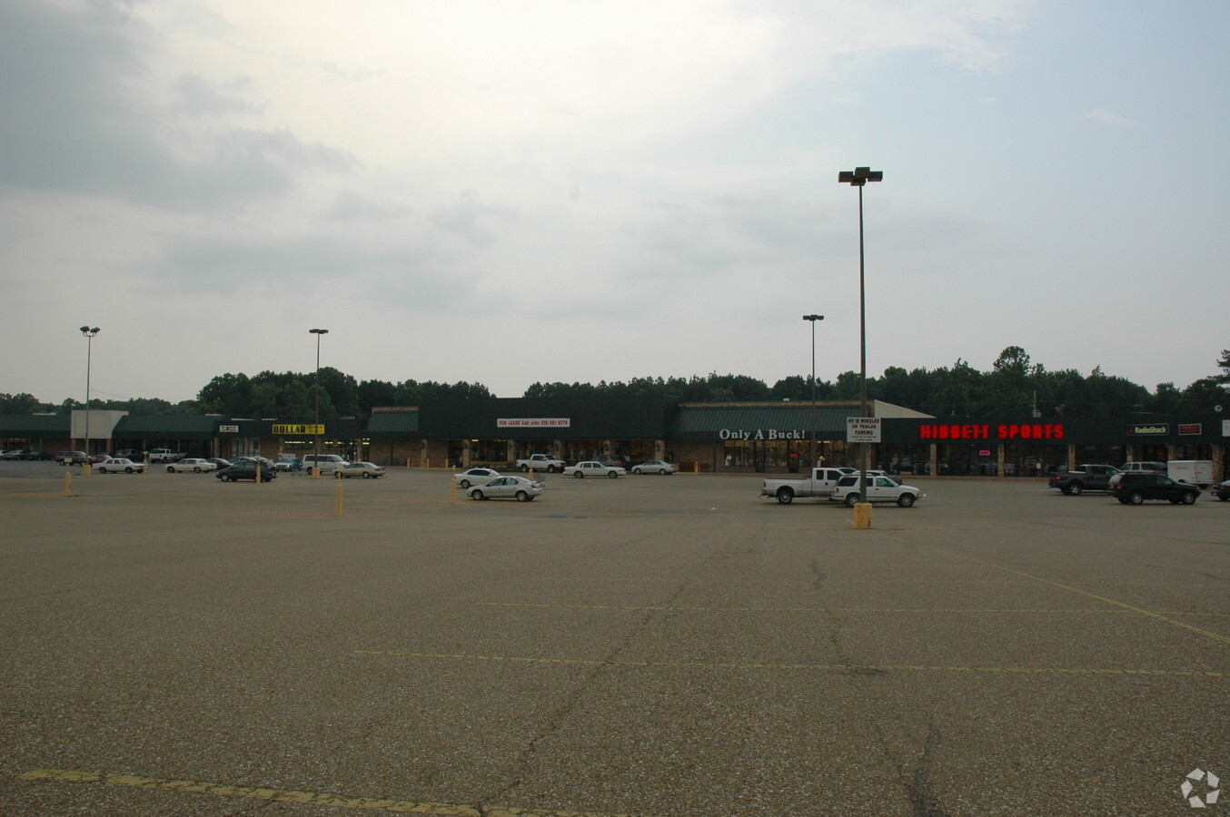
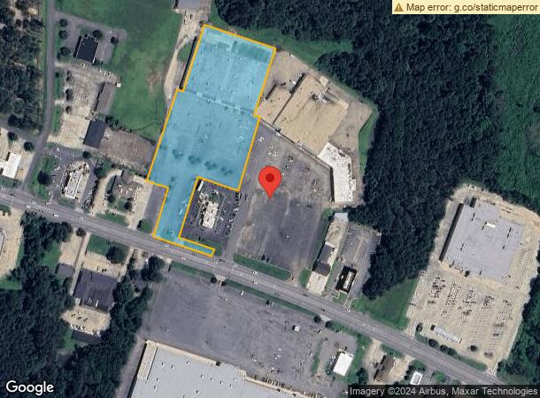
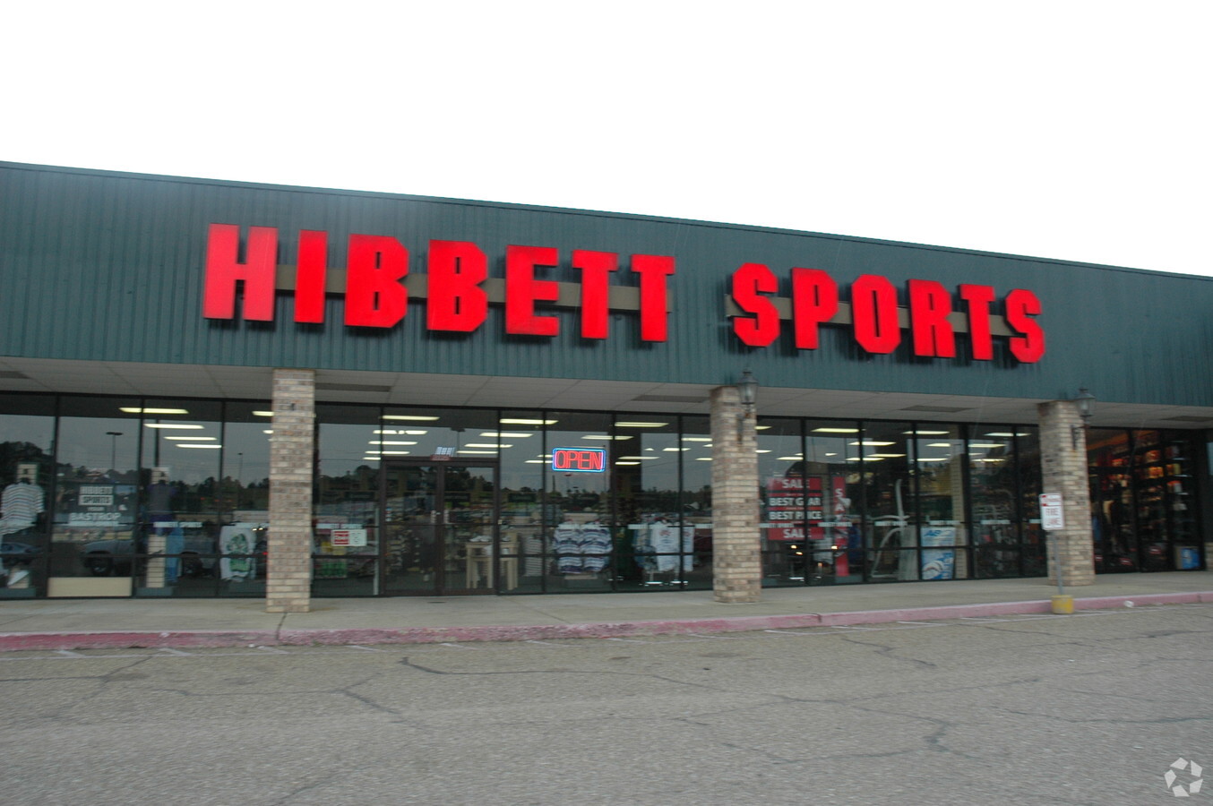
2017 E Madison Ave
200509285
A CERTAIN TRACT OR PARCEL OF LAND SITUATED IN THE SE 1/4 OF NE 1/4 AND THE NE 1/4 OF THE SE 1/4 OF SECTION 30, TOWNSHIP 21 NO
Commercialnec
Morehouse
X
Louisiana
22067C0345C
b2
2023
4.17 AC
2023
Other Market Areas
950200
Bastrop, LA
50,400 SF
DEMOGRAPHICS near 2017 E Madison Ave
1 Mile
3 Mile
5 Mile
2024 Total Population
2,162
13,436
17,684
2029 Population
2,004
12,676
16,657
Pop Growth 2024-2029
(7.31%)
(5.66%)
(5.81%)
Average Age
42
41
41
2024 Total Households
883
5,371
7,069
HH Growth 2024-2029
(6.91%)
(5.21%)
(5.36%)
Median Household Inc
$25,789
$25,566
$31,466
Avg Household Size
2.20
2.30
2.30
2024 Avg HH Vehicles
2.00
2.00
2.00
Median Home Value
$106,046
$93,394
$94,470
Median Year Built
1969
1973
1975
Nearby Places
- Restaurants
- Banks
- Shops
- Fitness
- Groceries
PUBLIC TRANSPORTATION
AIRPORT
Monroe Regional
Drive
Walk
Distance
Monroe Regional
36 min
28.0 mi
Freight Ports
Port of Shreveport
Drive
Walk
Distance
Port of Shreveport
162 min
138.4 mi
SALE & LEASE HISTORY
LISTING DATE
SALE/LEASE

Feb 23, 2021
For Lease
Nearby Properties
Address
Land Use
TOTAL SIZE
Lot Size
Zoning
Address
Land Use
TOTAL SIZE
Lot Size
Zoning
Address
Land Use
TOTAL SIZE
Lot Size
Zoning
197062
23.12 AC
Address
Land Use
TOTAL SIZE
Lot Size
Zoning
61904
4.51 AC
Address
Land Use
TOTAL SIZE
Lot Size
Zoning
61738
6 AC
Address
Land Use
TOTAL SIZE
Lot Size
Zoning
Address
Land Use
TOTAL SIZE
Lot Size
Zoning
Address
Land Use
TOTAL SIZE
Lot Size
Zoning
153814
6.17 AC
Address
Land Use
TOTAL SIZE
Lot Size
Zoning
100393
21.56 AC
Address
Land Use
TOTAL SIZE
Lot Size
Zoning
60718
2.23 AC
Address
Land Use
TOTAL SIZE
Lot Size
Zoning
Address
Land Use
TOTAL SIZE
Lot Size
Zoning
Address
Land Use
TOTAL SIZE
Lot Size
Zoning
37319
3.49 AC
Address
Land Use
TOTAL SIZE
Lot Size
Zoning
128609
20 AC
Address
Land Use
TOTAL SIZE
Lot Size
Zoning
95592
19.93 AC
Address
Land Use
TOTAL SIZE
Lot Size
Zoning
Address
Land Use
TOTAL SIZE
Lot Size
Zoning
2.66 AC
Address
Land Use
TOTAL SIZE
Lot Size
Zoning
50822
3.45 AC
Address
Land Use
TOTAL SIZE
Lot Size
Zoning
Address
Land Use
TOTAL SIZE
Lot Size
Zoning
Address
Land Use
TOTAL SIZE
Lot Size
Zoning
Address
Land Use
TOTAL SIZE
Lot Size
Zoning
29.02 AC
Address
Land Use
TOTAL SIZE
Lot Size
Zoning
35900
12 AC
Address
Land Use
TOTAL SIZE
Lot Size
Zoning
1571
0.50 AC
R
Address
Land Use
TOTAL SIZE
Lot Size
Zoning
58378
1 AC
Address
Land Use
TOTAL SIZE
Lot Size
Zoning
Address
Land Use
TOTAL SIZE
Lot Size
Zoning
Address
Land Use
TOTAL SIZE
Lot Size
Zoning
46606
9 AC
Address
Land Use
TOTAL SIZE
Lot Size
Zoning
57725
6 AC
Address
Land Use
TOTAL SIZE
Lot Size
Zoning
23552
4 AC
Address
Land Use
TOTAL SIZE
Lot Size
Zoning
49414
11 AC
Start a new search to find other properties for sale or lease
Connect with us
© 2024 CoStar Group
The information above has been obtained from sources believed reliable. While we do not doubt its accuracy we have not verified it and make no guarantee, warranty or representation about it. It is your responsibility to independently confirm its accuracy and completeness. Any projections, opinions, assumptions, or estimates used are for example only and do not represent the current or future performance of the property. The value of this transaction to you depends on tax and other factors which should be evaluated by your tax, financial, and legal advisors. You and your advisors should conduct a careful, independent investigation of the property to determine to your satisfaction the suitability of the property for your needs.