Property Record
203 S High St, Columbus, OH 43215
NEARBY LISTINGS FOR SALE OR LEASE
Property Detail
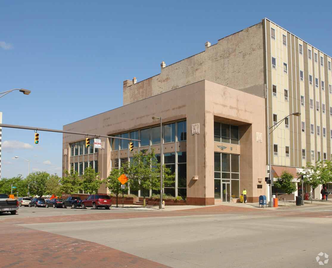
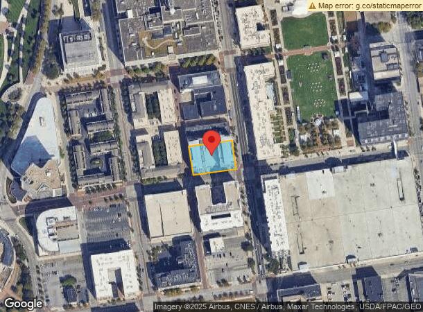
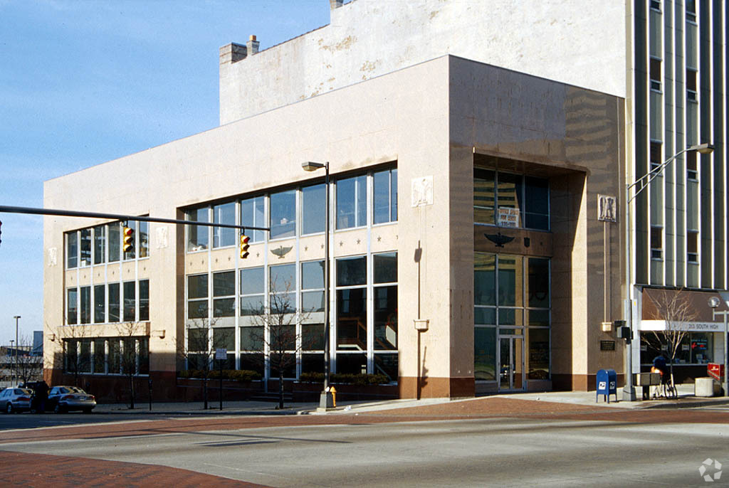
203 S High St
Columbus, OH
Plat Of Columbus
010-022541
221 S HIGH ST INLOTS 252-253 & 0.004 ACRES STRIP SS LOT 252
Storebuilding
Franklin
X
Ohio
39049C0309K
252
2023
0.54 AC
2023
Downtown
004002
Columbus
520,686 SF
DEMOGRAPHICS near 203 S High St
1 Mile
3 Mile
5 Mile
2024 Total Population
17,098
146,601
357,689
2029 Population
17,482
149,418
362,245
Pop Growth 2024-2029
+ 2.25%
+ 1.92%
+ 1.27%
Average Age
39
35
36
2024 Total Households
10,838
69,149
153,272
HH Growth 2024-2029
+ 2.46%
+ 1.88%
+ 1.28%
Median Household Inc
$67,876
$54,276
$53,220
Avg Household Size
1.40
1.90
2.10
2024 Avg HH Vehicles
1.00
1.00
2.00
Median Home Value
$448,598
$285,289
$225,901
Median Year Built
1997
1959
1958
Nearby Places
- Restaurants
- Banks
- Shops
- Fitness
- Groceries
PUBLIC TRANSPORTATION
AIRPORT
John Glenn Columbus International
DRIVE
WALK
Distance
John Glenn Columbus International
12 min
8.0 mi
Freight Ports
Port of Baltimore
DRIVE
WALK
Distance
Port of Baltimore
1 min
344.1 mi
Nearby Properties
Address
Land Use
TOTAL SIZE
Lot Size
Zoning
Address
Land Use
TOTAL SIZE
Lot Size
Zoning
1,467,891 SF
10.49 AC
Address
Land Use
TOTAL SIZE
Lot Size
Zoning
1,536,339 SF
20.56 AC
Address
Land Use
TOTAL SIZE
Lot Size
Zoning
29,312 SF
10.72 AC
Address
Land Use
TOTAL SIZE
Lot Size
Zoning
717,666 SF
17.99 AC
Address
Land Use
TOTAL SIZE
Lot Size
Zoning
907,446 SF
256.31 AC
Address
Land Use
TOTAL SIZE
Lot Size
Zoning
2,516,538 SF
3.73 AC
Address
Land Use
TOTAL SIZE
Lot Size
Zoning
13.50 AC
Address
Land Use
TOTAL SIZE
Lot Size
Zoning
382,270 SF
319.59 AC
Address
Land Use
TOTAL SIZE
Lot Size
Zoning
304,340 SF
3.86 AC
Address
Land Use
TOTAL SIZE
Lot Size
Zoning
477,854 SF
0.72 AC
Address
Land Use
TOTAL SIZE
Lot Size
Zoning
873,566 SF
9.94 AC
Address
Land Use
TOTAL SIZE
Lot Size
Zoning
2,498,019 SF
2.87 AC
Address
Land Use
TOTAL SIZE
Lot Size
Zoning
1,099,074 SF
39.12 AC
Address
Land Use
TOTAL SIZE
Lot Size
Zoning
972,594 SF
0.84 AC
Address
Land Use
TOTAL SIZE
Lot Size
Zoning
302,079 SF
77.95 AC
Address
Land Use
TOTAL SIZE
Lot Size
Zoning
481,704 SF
0.92 AC
Address
Land Use
TOTAL SIZE
Lot Size
Zoning
1,439,937 SF
5.43 AC
Address
Land Use
TOTAL SIZE
Lot Size
Zoning
3,341,757 SF
1.63 AC
Address
Land Use
TOTAL SIZE
Lot Size
Zoning
1,462,053 SF
0.21 AC
Address
Land Use
TOTAL SIZE
Lot Size
Zoning
356,310 SF
2.28 AC
Address
Land Use
TOTAL SIZE
Lot Size
Zoning
1,504,872 SF
1.23 AC
Address
Land Use
TOTAL SIZE
Lot Size
Zoning
339,231 SF
0.73 AC
Address
Land Use
TOTAL SIZE
Lot Size
Zoning
1,013,906 SF
1 AC
Address
Land Use
TOTAL SIZE
Lot Size
Zoning
3,476,934 SF
5.02 AC
Address
Land Use
TOTAL SIZE
Lot Size
Zoning
598,676 SF
0.97 AC
Address
Land Use
TOTAL SIZE
Lot Size
Zoning
4,176 SF
0.40 AC
Address
Land Use
TOTAL SIZE
Lot Size
Zoning
892,861 SF
5.26 AC
Address
Land Use
TOTAL SIZE
Lot Size
Zoning
594,403 SF
63.19 AC
Address
Land Use
TOTAL SIZE
Lot Size
Zoning
1,377,036 SF
2.64 AC
Address
Land Use
TOTAL SIZE
Lot Size
Zoning
19,117 SF
7.28 AC
The World's #1 Commercial Real Estate Marketplace
Connect with us
© 2025 CoStar Group
The information above has been obtained from sources believed reliable. While we do not doubt its accuracy we have not verified it and make no guarantee, warranty or representation about it. It is your responsibility to independently confirm its accuracy and completeness. Any projections, opinions, assumptions, or estimates used are for example only and do not represent the current or future performance of the property. The value of this transaction to you depends on tax and other factors which should be evaluated by your tax, financial, and legal advisors. You and your advisors should conduct a careful, independent investigation of the property to determine to your satisfaction the suitability of the property for your needs.