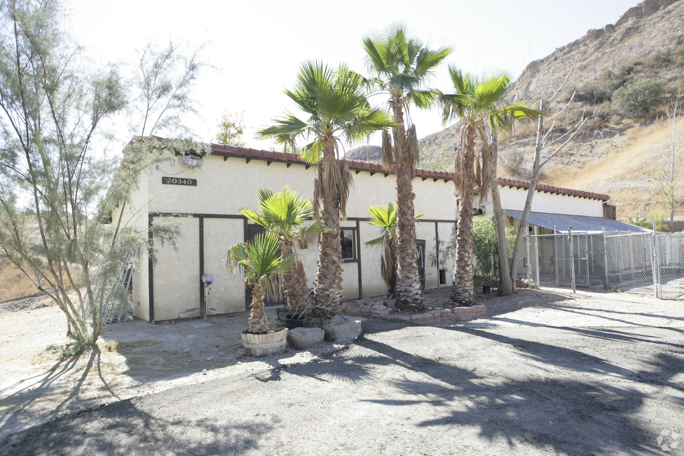
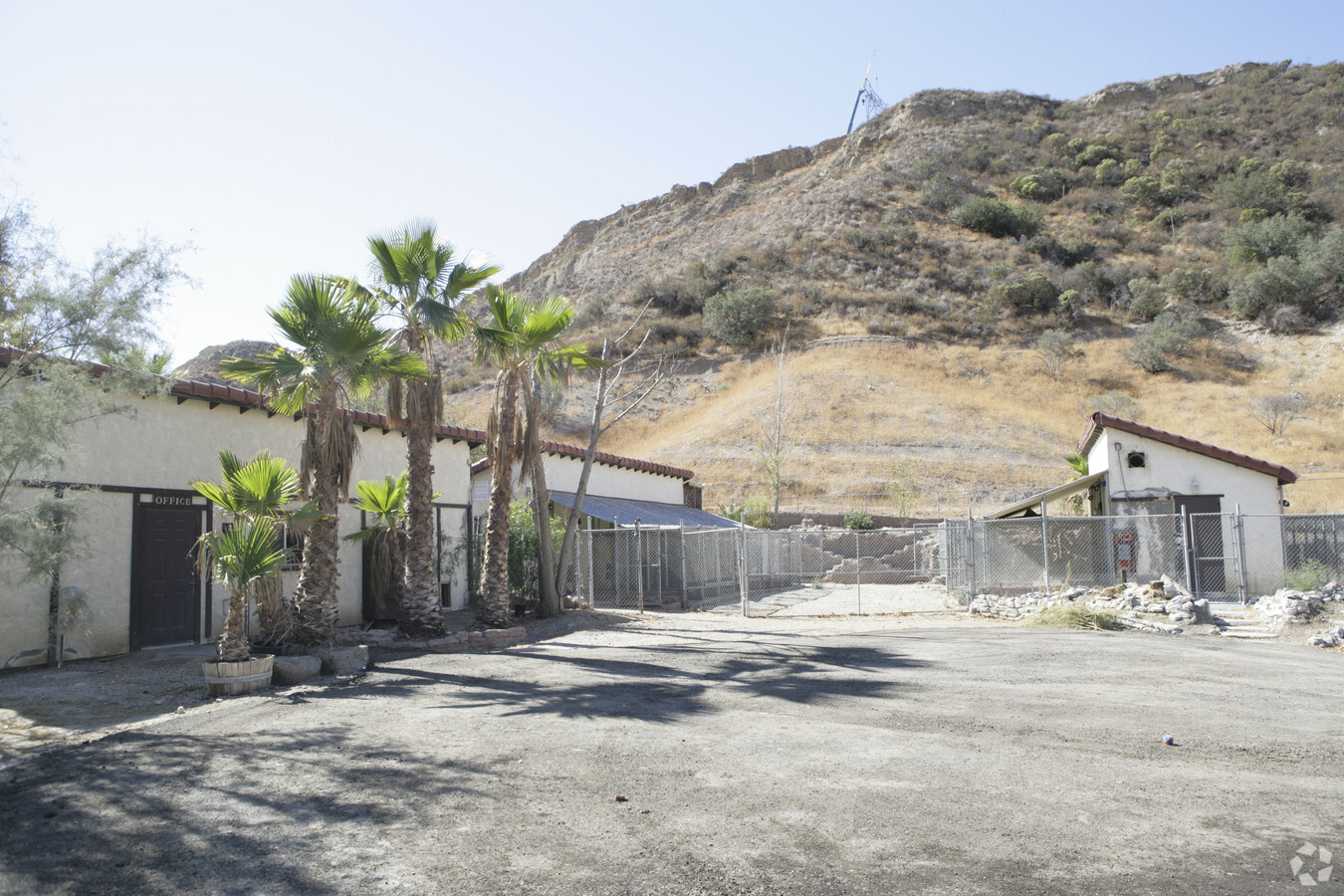
Property Record
20340 Blue Cloud Rd, Santa Clarita, CA 91390

NEARBY LISTINGS FOR SALE OR LEASE
Property Detail
20340 Blue Cloud Rd
Los Angeles-Long Beach-Glendale, CA
Map 14813
2813-025-006
PARCEL MAP AS PER BK 166 P 31-32 OF P M LOT/SEC 4
Kennel
Los Angeles
X
California
06037C0830G
4
2024
40.81 AC
2024
Santa Clarita Valley
920020
Los Angeles
1,056 SF
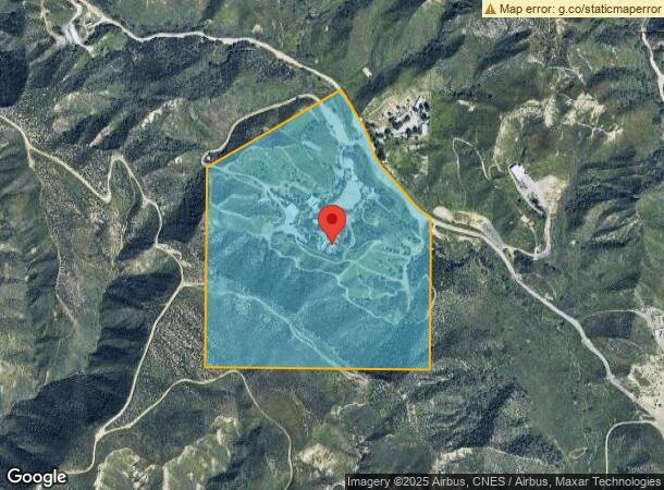
DEMOGRAPHICS near 20340 Blue Cloud Rd
1 Mile
3 Mile
5 Mile
2024 Total Population
2,085
45,154
134,931
2029 Population
1,998
43,447
129,718
Pop Growth 2024-2029
(4.17%)
(3.78%)
(3.86%)
Average Age
40
39
39
2024 Total Households
661
14,152
43,729
HH Growth 2024-2029
(4.39%)
(4.10%)
(4.10%)
Median Household Inc
$87,652
$139,288
$114,361
Avg Household Size
3.10
3.10
3.00
2024 Avg HH Vehicles
2.00
3.00
2.00
Median Home Value
$672,472
$728,105
$699,588
Median Year Built
1984
1987
1989
Nearby Places
- Restaurants
- Banks
- Shops
- Fitness
- Groceries
PUBLIC TRANSPORTATION
COMMUTER RAIL
Santa Clarita (Antelope Valley Line - Southern California Regional Rail Authority (Metrolink))
DRIVE
WALK
Distance
Santa Clarita (Antelope Valley Line - Southern California Regional Rail Authority (Metrolink))
15 min
7.2 mi
Via Princessa (Antelope Valley Line - Southern California Regional Rail Authority (Metrolink))
DRIVE
WALK
Distance
Via Princessa (Antelope Valley Line - Southern California Regional Rail Authority (Metrolink))
16 min
7.7 mi
AIRPORT
Bob Hope
DRIVE
WALK
Distance
Bob Hope
41 min
26.9 mi
Freight Ports
The Port of Hueneme
DRIVE
WALK
Distance
The Port of Hueneme
85 min
57.6 mi
Nearby Properties
Address
Land Use
TOTAL SIZE
Lot Size
Zoning
Address
Land Use
TOTAL SIZE
Lot Size
Zoning
123,863 SF
23.15 AC
SCNU4
Address
Land Use
TOTAL SIZE
Lot Size
Zoning
52,692 SF
9.52 AC
SCUR2
Address
Land Use
TOTAL SIZE
Lot Size
Zoning
57,108 SF
3.95 AC
SCCC
Address
Land Use
TOTAL SIZE
Lot Size
Zoning
96,880 SF
2.21 AC
SCCN
Address
Land Use
TOTAL SIZE
Lot Size
Zoning
21,054 SF
1.68 AC
SCCC
Address
Land Use
TOTAL SIZE
Lot Size
Zoning
16,586 SF
1.90 AC
SCCN
Address
Land Use
TOTAL SIZE
Lot Size
Zoning
18,680 SF
1.77 AC
SCCN
Address
Land Use
TOTAL SIZE
Lot Size
Zoning
41,957 SF
1.60 AC
SCCN
Address
Land Use
TOTAL SIZE
Lot Size
Zoning
30,480 SF
2.60 AC
SCCN
Address
Land Use
TOTAL SIZE
Lot Size
Zoning
23,066 SF
1.16 AC
SCCC
Address
Land Use
TOTAL SIZE
Lot Size
Zoning
28,603 SF
63.95 AC
LCA120000*
Address
Land Use
TOTAL SIZE
Lot Size
Zoning
15,417 SF
1.86 AC
SCCN
Address
Land Use
TOTAL SIZE
Lot Size
Zoning
11.44 AC
SCUR2
Address
Land Use
TOTAL SIZE
Lot Size
Zoning
9,824 SF
1.84 AC
SCCN
Address
Land Use
TOTAL SIZE
Lot Size
Zoning
14,828 SF
1.18 AC
SCCN
Address
Land Use
TOTAL SIZE
Lot Size
Zoning
8,912 SF
0.90 AC
SCCN
Address
Land Use
TOTAL SIZE
Lot Size
Zoning
18,073 SF
1.96 AC
SCCN
Address
Land Use
TOTAL SIZE
Lot Size
Zoning
110,406 SF
2.76 AC
SCUR2
Address
Land Use
TOTAL SIZE
Lot Size
Zoning
13,098 SF
0.53 AC
SCCN
Address
Land Use
TOTAL SIZE
Lot Size
Zoning
3,600 SF
0.37 AC
SCCC
Address
Land Use
TOTAL SIZE
Lot Size
Zoning
3.89 AC
LCM1-A11*
Address
Land Use
TOTAL SIZE
Lot Size
Zoning
10,980 SF
0.92 AC
SCCN
Address
Land Use
TOTAL SIZE
Lot Size
Zoning
4,153 SF
0.84 AC
LCA21*
Address
Land Use
TOTAL SIZE
Lot Size
Zoning
83.66 AC
LCA21*
Address
Land Use
TOTAL SIZE
Lot Size
Zoning
86.27 AC
LCA21*
Address
Land Use
TOTAL SIZE
Lot Size
Zoning
5,185 SF
0.55 AC
SCCN
Address
Land Use
TOTAL SIZE
Lot Size
Zoning
1.85 AC
SCCN
Address
Land Use
TOTAL SIZE
Lot Size
Zoning
4,308 SF
0.99 AC
SCCN
The World's #1 Commercial Real Estate Marketplace
Connect with us
© 2025 CoStar Group
The information above has been obtained from sources believed reliable. While we do not doubt its accuracy we have not verified it and make no guarantee, warranty or representation about it. It is your responsibility to independently confirm its accuracy and completeness. Any projections, opinions, assumptions, or estimates used are for example only and do not represent the current or future performance of the property. The value of this transaction to you depends on tax and other factors which should be evaluated by your tax, financial, and legal advisors. You and your advisors should conduct a careful, independent investigation of the property to determine to your satisfaction the suitability of the property for your needs.