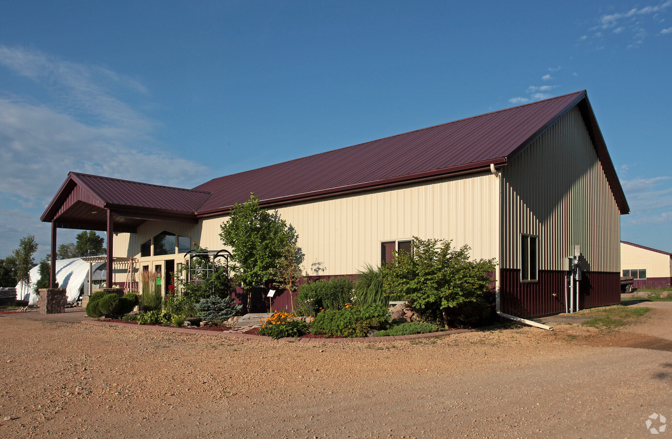
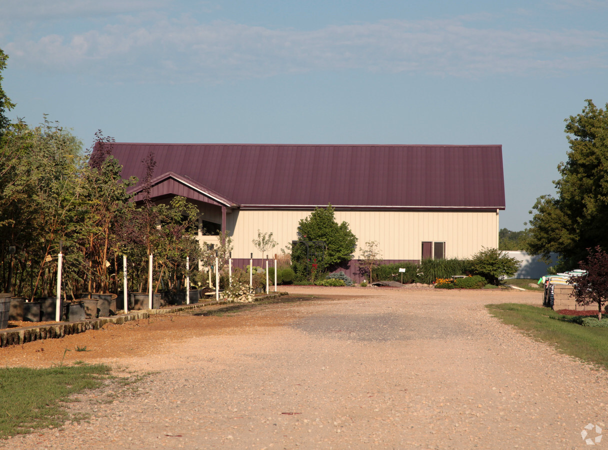
Property Record
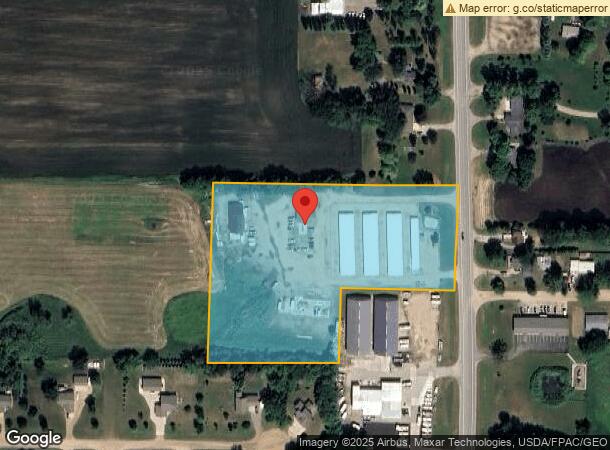
20377 Highway 15 N, Hutchinson, MN 55350
NEARBY LISTINGS FOR SALE OR LEASE
Property Detail
20377 Highway 15 N
Hutchinson, MN
Ap S2 30 & N2 31-117-29
08.051.0365
AP S2 30 & N2 31-117-29 6.41 AC PT L19
Commercialnec
Mcleod
X
Minnesota
27085C0050E
19
2023
6.41 AC
2023
Minnesota Central Area
950200
Other Market Areas
3,146 SF
DEMOGRAPHICS near 20377 Highway 15 N
1 Mile
3 Mile
5 Mile
2024 Total Population
1,897
16,374
18,518
2029 Population
1,883
16,589
18,715
Pop Growth 2024-2029
(0.74%)
+ 1.31%
+ 1.06%
Average Age
40
41
42
2024 Total Households
821
6,911
7,746
HH Growth 2024-2029
(0.85%)
+ 1.32%
+ 1.07%
Median Household Inc
$74,427
$64,368
$66,698
Avg Household Size
2.30
2.30
2.30
2024 Avg HH Vehicles
2.00
2.00
2.00
Median Home Value
$236,184
$195,914
$204,657
Median Year Built
1978
1984
1984
Nearby Places
- Restaurants
- Banks
- Shops
- Fitness
- Groceries
Nearby Properties
Address
Land Use
TOTAL SIZE
Lot Size
Zoning
Address
Land Use
TOTAL SIZE
Lot Size
Zoning
179,918 SF
38 AC
Address
Land Use
TOTAL SIZE
Lot Size
Zoning
164,080 SF
1 AC
Address
Land Use
TOTAL SIZE
Lot Size
Zoning
1,512 SF
Address
Land Use
TOTAL SIZE
Lot Size
Zoning
123,591 SF
17.10 AC
Address
Land Use
TOTAL SIZE
Lot Size
Zoning
83.12 AC
Address
Land Use
TOTAL SIZE
Lot Size
Zoning
3,456 SF
9.31 AC
Address
Land Use
TOTAL SIZE
Lot Size
Zoning
1.63 AC
Address
Land Use
TOTAL SIZE
Lot Size
Zoning
138,810 SF
51.46 AC
Address
Land Use
TOTAL SIZE
Lot Size
Zoning
70,026 SF
25.16 AC
Address
Land Use
TOTAL SIZE
Lot Size
Zoning
1,288 SF
30 AC
Address
Land Use
TOTAL SIZE
Lot Size
Zoning
213,119 SF
26.46 AC
Address
Land Use
TOTAL SIZE
Lot Size
Zoning
76,678 SF
1.12 AC
Address
Land Use
TOTAL SIZE
Lot Size
Zoning
80,926 SF
14.16 AC
Address
Land Use
TOTAL SIZE
Lot Size
Zoning
148,845 SF
36.35 AC
Address
Land Use
TOTAL SIZE
Lot Size
Zoning
26,903 SF
2.12 AC
Address
Land Use
TOTAL SIZE
Lot Size
Zoning
63,562 SF
Address
Land Use
TOTAL SIZE
Lot Size
Zoning
123,740 SF
104.45 AC
Address
Land Use
TOTAL SIZE
Lot Size
Zoning
62.55 AC
Address
Land Use
TOTAL SIZE
Lot Size
Zoning
29,765 SF
2.12 AC
Address
Land Use
TOTAL SIZE
Lot Size
Zoning
10,330 SF
16.06 AC
Address
Land Use
TOTAL SIZE
Lot Size
Zoning
54,841 SF
6.33 AC
Address
Land Use
TOTAL SIZE
Lot Size
Zoning
35,026 SF
2.42 AC
Address
Land Use
TOTAL SIZE
Lot Size
Zoning
35,388 SF
4.97 AC
Address
Land Use
TOTAL SIZE
Lot Size
Zoning
85,127 SF
8.33 AC
Address
Land Use
TOTAL SIZE
Lot Size
Zoning
12,836 SF
47.75 AC
Address
Land Use
TOTAL SIZE
Lot Size
Zoning
29,599 SF
7.77 AC
Address
Land Use
TOTAL SIZE
Lot Size
Zoning
117,632 SF
19.07 AC
Address
Land Use
TOTAL SIZE
Lot Size
Zoning
27,586 SF
5.02 AC
Address
Land Use
TOTAL SIZE
Lot Size
Zoning
8.78 AC
Address
Land Use
TOTAL SIZE
Lot Size
Zoning
1,798 SF
120 AC
The World's #1 Commercial Real Estate Marketplace
Connect with us
© 2025 CoStar Group
The information above has been obtained from sources believed reliable. While we do not doubt its accuracy we have not verified it and make no guarantee, warranty or representation about it. It is your responsibility to independently confirm its accuracy and completeness. Any projections, opinions, assumptions, or estimates used are for example only and do not represent the current or future performance of the property. The value of this transaction to you depends on tax and other factors which should be evaluated by your tax, financial, and legal advisors. You and your advisors should conduct a careful, independent investigation of the property to determine to your satisfaction the suitability of the property for your needs.