Property Record
20388 N Tamiami Trl, North Fort Myers, FL 33903

NEARBY LISTINGS FOR SALE OR LEASE
Property Detail
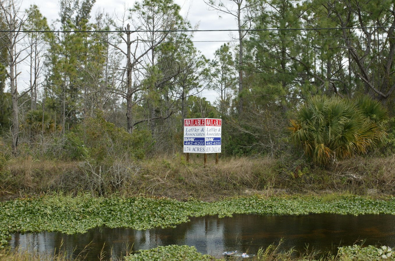
20388 N Tamiami Trl
Cape Coral-Fort Myers, FL
N. 41 Corridor
05-43-24-01-00032.0010
N.FT.MYERS PARK UNIT 1 PB 9 PG 113 PTS OF LTS 32 THRU 35 W 190 FT
Commercialacreage
Lee
A
Florida
12015C0450G
32-35
2023
1.53 AC
2024
North Ft Myers
020600
Southwest Florida
DEMOGRAPHICS near 20388 N Tamiami Trl
1 Mile
3 Mile
5 Mile
2024 Total Population
3,006
17,896
41,345
2029 Population
3,625
21,598
49,546
Pop Growth 2024-2029
+ 20.59%
+ 20.69%
+ 19.84%
Average Age
67
57
52
2024 Total Households
1,612
8,378
18,227
HH Growth 2024-2029
+ 20.16%
+ 20.24%
+ 19.46%
Median Household Inc
$58,709
$59,838
$57,189
Avg Household Size
1.90
2.00
2.20
2024 Avg HH Vehicles
1.00
2.00
2.00
Median Home Value
$233,333
$188,318
$168,648
Median Year Built
1998
1997
1994
Nearby Places
- Restaurants
- Banks
- Shops
- Fitness
- Groceries
PUBLIC TRANSPORTATION
AIRPORT
Southwest Florida International
DRIVE
WALK
Distance
Southwest Florida International
30 min
17.7 mi
Punta Gorda
DRIVE
WALK
Distance
Punta Gorda
29 min
20.1 mi
Freight Ports
Port Manatee
DRIVE
WALK
Distance
Port Manatee
109 min
91.7 mi
Nearby Properties
Address
Land Use
TOTAL SIZE
Lot Size
Zoning
Address
Land Use
TOTAL SIZE
Lot Size
Zoning
214,515 SF
30.60 AC
I-1
Address
Land Use
TOTAL SIZE
Lot Size
Zoning
485,271 SF
20.05 AC
CORR
Address
Land Use
TOTAL SIZE
Lot Size
Zoning
347,871 SF
29.40 AC
RML
Address
Land Use
TOTAL SIZE
Lot Size
Zoning
333,938 SF
35.80 AC
C-1
Address
Land Use
TOTAL SIZE
Lot Size
Zoning
61,844 SF
7.31 AC
CC
Address
Land Use
TOTAL SIZE
Lot Size
Zoning
138,476 SF
4.11 AC
CORR
Address
Land Use
TOTAL SIZE
Lot Size
Zoning
209,881 SF
63.03 AC
AG-2
Address
Land Use
TOTAL SIZE
Lot Size
Zoning
451,348 SF
21.43 AC
CPD
Address
Land Use
TOTAL SIZE
Lot Size
Zoning
124,182 SF
13.30 AC
CORR
Address
Land Use
TOTAL SIZE
Lot Size
Zoning
212,616 SF
6.61 AC
CORR/CPO
Address
Land Use
TOTAL SIZE
Lot Size
Zoning
151,620 SF
19.97 AC
RM-2
Address
Land Use
TOTAL SIZE
Lot Size
Zoning
76,042 SF
7.50 AC
CORR
Address
Land Use
TOTAL SIZE
Lot Size
Zoning
101,343 SF
8.06 AC
IL
Address
Land Use
TOTAL SIZE
Lot Size
Zoning
128,355 SF
19.24 AC
C-1
Address
Land Use
TOTAL SIZE
Lot Size
Zoning
112,356 SF
18.99 AC
AG-2
Address
Land Use
TOTAL SIZE
Lot Size
Zoning
109,404 SF
14.22 AC
AG-2
Address
Land Use
TOTAL SIZE
Lot Size
Zoning
51,478 SF
68.97 AC
C-2
Address
Land Use
TOTAL SIZE
Lot Size
Zoning
74,678 SF
8.97 AC
CPD
Address
Land Use
TOTAL SIZE
Lot Size
Zoning
92,632 SF
32 AC
R1BD
Address
Land Use
TOTAL SIZE
Lot Size
Zoning
107,321 SF
3.84 AC
C-1A
Address
Land Use
TOTAL SIZE
Lot Size
Zoning
141,571 SF
4.57 AC
C-1A
Address
Land Use
TOTAL SIZE
Lot Size
Zoning
81,160 SF
9.40 AC
CPD
Address
Land Use
TOTAL SIZE
Lot Size
Zoning
222,159 SF
25.12 AC
CP-D
Address
Land Use
TOTAL SIZE
Lot Size
Zoning
90 AC
C-2
Address
Land Use
TOTAL SIZE
Lot Size
Zoning
53,781 SF
6.84 AC
CPO
Address
Land Use
TOTAL SIZE
Lot Size
Zoning
58,339 SF
3.55 AC
VILL
Address
Land Use
TOTAL SIZE
Lot Size
Zoning
197,353 SF
14 AC
VILL
Address
Land Use
TOTAL SIZE
Lot Size
Zoning
81,845 SF
5.53 AC
CORR
Address
Land Use
TOTAL SIZE
Lot Size
Zoning
79,253 SF
11.47 AC
C-3
Address
Land Use
TOTAL SIZE
Lot Size
Zoning
72,683 SF
9.82 AC
CPD
The World's #1 Commercial Real Estate Marketplace
Connect with us
© 2025 CoStar Group
The information above has been obtained from sources believed reliable. While we do not doubt its accuracy we have not verified it and make no guarantee, warranty or representation about it. It is your responsibility to independently confirm its accuracy and completeness. Any projections, opinions, assumptions, or estimates used are for example only and do not represent the current or future performance of the property. The value of this transaction to you depends on tax and other factors which should be evaluated by your tax, financial, and legal advisors. You and your advisors should conduct a careful, independent investigation of the property to determine to your satisfaction the suitability of the property for your needs.