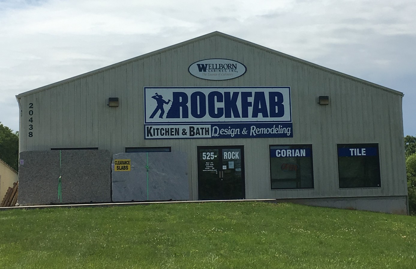
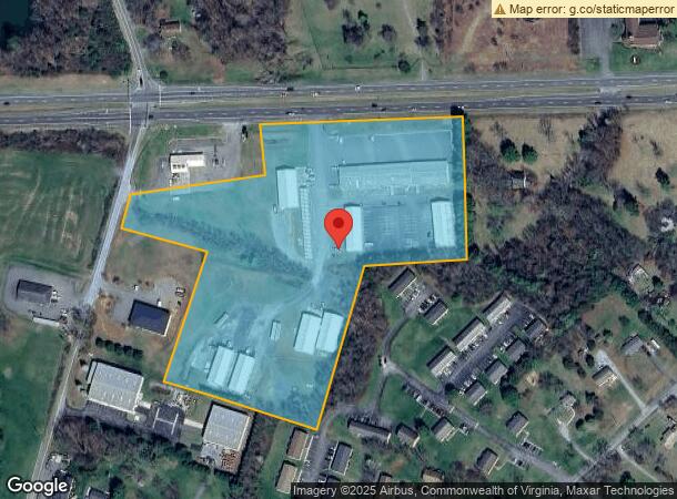
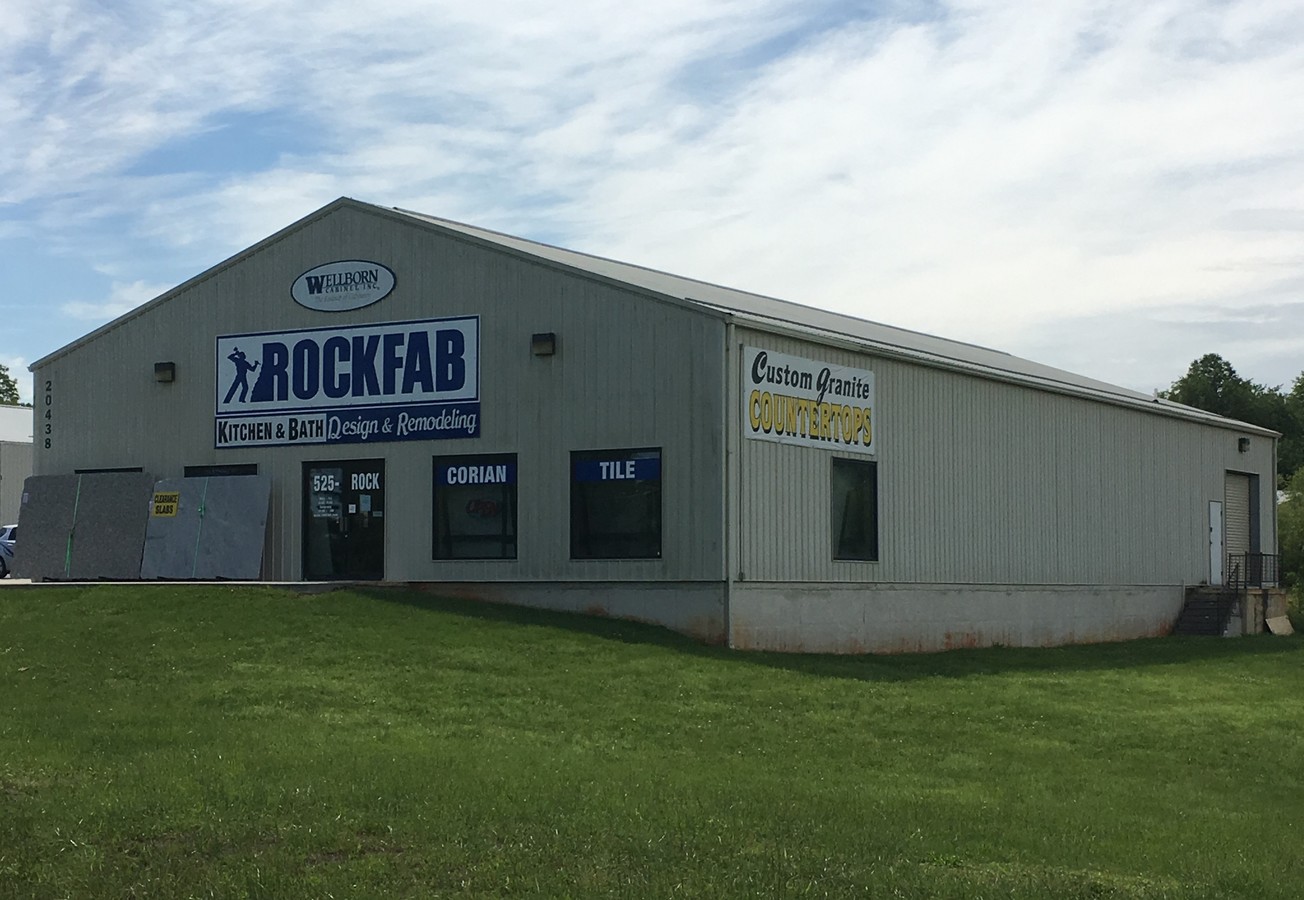
Property Record
20446 Lynchburg Hwy, Lynchburg, VA 24502
NEARBY LISTINGS FOR SALE OR LEASE
Property Detail
20446 Lynchburg Hwy
020I-02000-001-D
NR NEW LONDON PARCEL D
Commercialnec
Campbell
X
Virginia
51019C0370D
10.64 AC
2024
Lynchburg
2024
Other Market Areas
020403
Lynchburg, VA
16,200 SF
DEMOGRAPHICS near 20446 Lynchburg Hwy
1 Mile
3 Mile
5 Mile
2024 Total Population
2,511
19,336
41,936
2029 Population
2,463
19,357
42,121
Pop Growth 2024-2029
(1.91%)
+ 0.11%
+ 0.44%
Average Age
41
41
40
2024 Total Households
1,001
7,689
17,238
HH Growth 2024-2029
(1.90%)
(0.01%)
+ 0.34%
Median Household Inc
$62,857
$68,798
$66,332
Avg Household Size
2.50
2.50
2.40
2024 Avg HH Vehicles
2.00
2.00
2.00
Median Home Value
$240,131
$247,449
$238,140
Median Year Built
1979
1984
1989
Nearby Places
- Restaurants
- Banks
- Shops
- Fitness
- Groceries
PUBLIC TRANSPORTATION
AIRPORT
Lynchburg Regional/Preston Glenn Field
DRIVE
WALK
Distance
Lynchburg Regional/Preston Glenn Field
10 min
5.4 mi
Freight Ports
Virginia Port Authority - Richmond
DRIVE
WALK
Distance
Virginia Port Authority - Richmond
159 min
119.0 mi
SALE & LEASE HISTORY
LISTING DATE
SALE/LEASE

May 19, 2017
For Lease
Nearby Properties
Address
Land Use
TOTAL SIZE
Lot Size
Zoning
Address
Land Use
TOTAL SIZE
Lot Size
Zoning
36,168 SF
7.96 AC
BGC
Address
Land Use
TOTAL SIZE
Lot Size
Zoning
9,508 SF
8.54 AC
RMF
Address
Land Use
TOTAL SIZE
Lot Size
Zoning
214,400 SF
98.14 AC
Address
Land Use
TOTAL SIZE
Lot Size
Zoning
2,695 SF
10.77 AC
BGC
Address
Land Use
TOTAL SIZE
Lot Size
Zoning
23,633 SF
6.36 AC
RSF
Address
Land Use
TOTAL SIZE
Lot Size
Zoning
19,200 SF
17.13 AC
IG
Address
Land Use
TOTAL SIZE
Lot Size
Zoning
41,808 SF
12.16 AC
RSF
Address
Land Use
TOTAL SIZE
Lot Size
Zoning
22,928 SF
13.84 AC
Address
Land Use
TOTAL SIZE
Lot Size
Zoning
41,412 SF
5.87 AC
BGC
Address
Land Use
TOTAL SIZE
Lot Size
Zoning
41,264 SF
2.33 AC
BGC
Address
Land Use
TOTAL SIZE
Lot Size
Zoning
16,217 SF
9.44 AC
BGC
Address
Land Use
TOTAL SIZE
Lot Size
Zoning
6,696 SF
4.94 AC
RMF
Address
Land Use
TOTAL SIZE
Lot Size
Zoning
25,200 SF
13.88 AC
Address
Land Use
TOTAL SIZE
Lot Size
Zoning
92,663 SF
7.21 AC
Address
Land Use
TOTAL SIZE
Lot Size
Zoning
27,568 SF
8.70 AC
BGC
Address
Land Use
TOTAL SIZE
Lot Size
Zoning
90,253 SF
14.10 AC
Address
Land Use
TOTAL SIZE
Lot Size
Zoning
6,231 SF
5.06 AC
Address
Land Use
TOTAL SIZE
Lot Size
Zoning
2,606 SF
184.35 AC
Address
Land Use
TOTAL SIZE
Lot Size
Zoning
1,708 SF
156.11 AC
Address
Land Use
TOTAL SIZE
Lot Size
Zoning
13,614 SF
3.78 AC
BGC
Address
Land Use
TOTAL SIZE
Lot Size
Zoning
39,350 SF
7.87 AC
BGC
Address
Land Use
TOTAL SIZE
Lot Size
Zoning
168.01 AC
Address
Land Use
TOTAL SIZE
Lot Size
Zoning
6,761 SF
43.81 AC
RSF
Address
Land Use
TOTAL SIZE
Lot Size
Zoning
2,879 SF
35.07 AC
Address
Land Use
TOTAL SIZE
Lot Size
Zoning
3.76 AC
Address
Land Use
TOTAL SIZE
Lot Size
Zoning
9,328 SF
5.82 AC
BHC
Address
Land Use
TOTAL SIZE
Lot Size
Zoning
12,400 SF
10.89 AC
BGC
The World's #1 Commercial Real Estate Marketplace
Connect with us
© 2025 CoStar Group
The information above has been obtained from sources believed reliable. While we do not doubt its accuracy we have not verified it and make no guarantee, warranty or representation about it. It is your responsibility to independently confirm its accuracy and completeness. Any projections, opinions, assumptions, or estimates used are for example only and do not represent the current or future performance of the property. The value of this transaction to you depends on tax and other factors which should be evaluated by your tax, financial, and legal advisors. You and your advisors should conduct a careful, independent investigation of the property to determine to your satisfaction the suitability of the property for your needs.