Property Record
2044 Hwy 11 55, Kinston, NC 28504
NEARBY LISTINGS FOR SALE OR LEASE
-
-
View all Kinston listings for sale on LoopNet.com
Property Detail
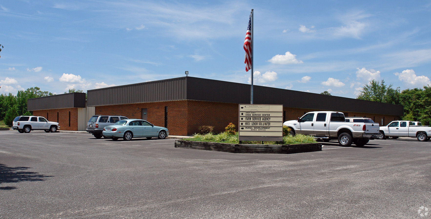
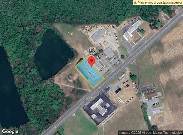
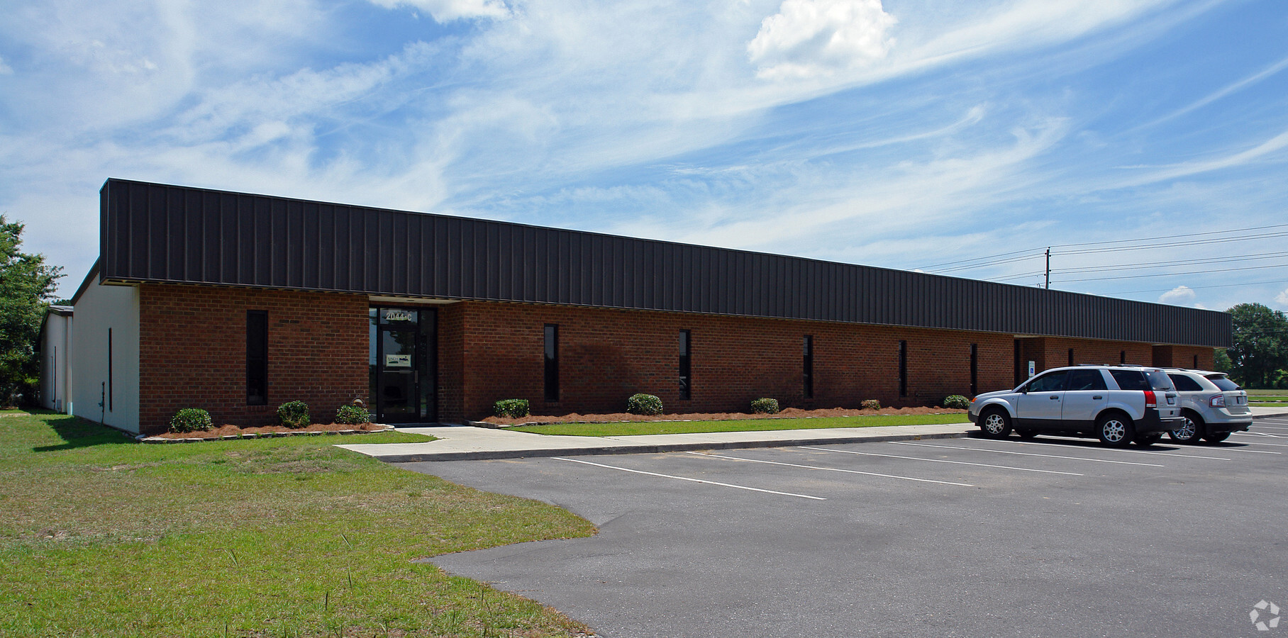
2044 Hwy 11 55
Officebuilding
HWY 11/55 SOUTH 2044 HWY 11/55
X
Lenoir
3720450400K
North Carolina
2024
1.03 AC
2024
Other Market Areas
011302
Kinston, NC
7,837 SF
450404949012
DEMOGRAPHICS near 2044 Hwy 11 55
1 Mile
3 Mile
5 Mile
2024 Total Population
704
4,973
27,525
2029 Population
693
4,922
27,401
Pop Growth 2024-2029
(1.56%)
(1.03%)
(0.45%)
Average Age
41
43
42
2024 Total Households
283
2,092
11,822
HH Growth 2024-2029
(1.77%)
(1.10%)
(0.42%)
Median Household Inc
$41,553
$37,023
$36,444
Avg Household Size
2.50
2.30
2.20
2024 Avg HH Vehicles
2.00
2.00
2.00
Median Home Value
$69,707
$90,452
$108,641
Median Year Built
1986
1976
1972
Nearby Places
- Restaurants
- Banks
- Shops
- Fitness
- Groceries
PUBLIC TRANSPORTATION
AIRPORT
Albert J Ellis
DRIVE
WALK
Distance
Albert J Ellis
60 min
33.7 mi
Freight Ports
Port of Morehead City
DRIVE
WALK
Distance
Port of Morehead City
111 min
78.1 mi
Nearby Properties
Address
Land Use
TOTAL SIZE
Lot Size
Zoning
Address
Land Use
TOTAL SIZE
Lot Size
Zoning
598,078 SF
278.06 AC
RA20
Address
Land Use
TOTAL SIZE
Lot Size
Zoning
178,391 SF
354.52 AC
I1
Address
Land Use
TOTAL SIZE
Lot Size
Zoning
184,270 SF
980.52 AC
Address
Land Use
TOTAL SIZE
Lot Size
Zoning
185,613 SF
12.24 AC
SC
Address
Land Use
TOTAL SIZE
Lot Size
Zoning
458,854 SF
957.24 AC
I1
Address
Land Use
TOTAL SIZE
Lot Size
Zoning
65,151 SF
24 AC
I1
Address
Land Use
TOTAL SIZE
Lot Size
Zoning
750.08 AC
RA6
Address
Land Use
TOTAL SIZE
Lot Size
Zoning
118,696 SF
15.62 AC
IB
Address
Land Use
TOTAL SIZE
Lot Size
Zoning
525,504 SF
228 AC
I1
Address
Land Use
TOTAL SIZE
Lot Size
Zoning
43,452 SF
2.89 AC
IB
Address
Land Use
TOTAL SIZE
Lot Size
Zoning
73,536 SF
5.38 AC
B1
Address
Land Use
TOTAL SIZE
Lot Size
Zoning
234.71 AC
I1
Address
Land Use
TOTAL SIZE
Lot Size
Zoning
39,537 SF
1.58 AC
SC
Address
Land Use
TOTAL SIZE
Lot Size
Zoning
35,906 SF
4.09 AC
Address
Land Use
TOTAL SIZE
Lot Size
Zoning
43,295 SF
5.69 AC
SC
Address
Land Use
TOTAL SIZE
Lot Size
Zoning
25,885 SF
88.62 AC
RA6
Address
Land Use
TOTAL SIZE
Lot Size
Zoning
14,706 SF
2.62 AC
B1
Address
Land Use
TOTAL SIZE
Lot Size
Zoning
27,478 SF
17.52 AC
Address
Land Use
TOTAL SIZE
Lot Size
Zoning
37,158 SF
3.88 AC
IB
Address
Land Use
TOTAL SIZE
Lot Size
Zoning
552.10 AC
Address
Land Use
TOTAL SIZE
Lot Size
Zoning
27,379 SF
5.22 AC
IB
Address
Land Use
TOTAL SIZE
Lot Size
Zoning
11.45 AC
RA6
Address
Land Use
TOTAL SIZE
Lot Size
Zoning
42,049 SF
5.59 AC
I1
Address
Land Use
TOTAL SIZE
Lot Size
Zoning
109,052 SF
7.54 AC
IB
Address
Land Use
TOTAL SIZE
Lot Size
Zoning
21,199 SF
3.32 AC
B1
Address
Land Use
TOTAL SIZE
Lot Size
Zoning
448,513 SF
104.04 AC
SC
Address
Land Use
TOTAL SIZE
Lot Size
Zoning
247,649 SF
99.63 AC
I1
Address
Land Use
TOTAL SIZE
Lot Size
Zoning
133.26 AC
RA6
Address
Land Use
TOTAL SIZE
Lot Size
Zoning
65,560 SF
10 AC
B1
Address
Land Use
TOTAL SIZE
Lot Size
Zoning
11,254 SF
16.75 AC
RA5
The World's #1 Commercial Real Estate Marketplace
Connect with us
© 2025 CoStar Group
The information above has been obtained from sources believed reliable. While we do not doubt its accuracy we have not verified it and make no guarantee, warranty or representation about it. It is your responsibility to independently confirm its accuracy and completeness. Any projections, opinions, assumptions, or estimates used are for example only and do not represent the current or future performance of the property. The value of this transaction to you depends on tax and other factors which should be evaluated by your tax, financial, and legal advisors. You and your advisors should conduct a careful, independent investigation of the property to determine to your satisfaction the suitability of the property for your needs.