Property Record
2048 Sam Rittenberg Blvd, Charleston, SC 29407
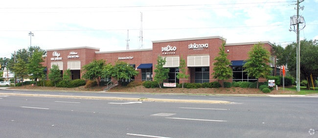

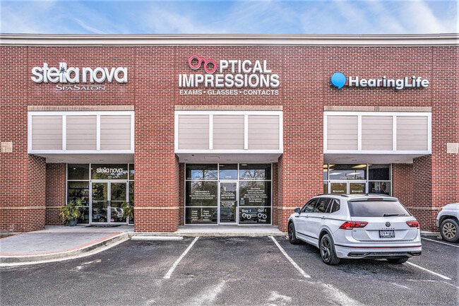
Property Detail
2048 Sam Rittenberg Blvd
Charleston-North Charleston, SC
DESCRIPTION -TRACT D
310-04-00-007
Charleston
Storebuilding
South Carolina
AE The base floodplain where base flood elevations are provided. AE Zones are now used on new format FIRMs instead of A1-A30 Zones.
1.43 AC
2025
West Ashley
2024
Charleston/N Charleston
002701
NEARBY LISTINGS FOR SALE OR LEASE
DEMOGRAPHICS near 2048 Sam Rittenberg Blvd
1 mile
3 mile
5 mile
2025 Total Population
8,050
52,830
131,388
2030 Population
8,289
54,612
136,476
Pop Growth 2025-2030
+ 2.97%
+ 3.37%
+ 3.87%
Average Age
41
41
40
2025 Total Households
3,831
24,677
58,035
HH Growth 2025-2030
+ 3.05%
+ 3.42%
+ 3.95%
Median Household Inc
$87,061
$86,004
$88,804
Avg Household Size
2.10
2.10
2.20
2025 Avg HH Vehicles
2.00
2.00
2.00
Median Home Value
$366,744
$423,551
$439,379
Median Year Built
1977
1980
1984
Nearby Places
Map Layers
Map Styles
 Street
 Aerial
Layers
 Traffic
 Biking
Places
Listings with unknown addresses are not visible on the map
- Restaurants
- Banks
- Shops
- Fitness
- Groceries
PUBLIC TRANSPORTATION
COMMUTER RAIL
Drive
Walk
Distance
13 min
7.5 mi
AIRPORT
Charleston AFB/International
Drive
Walk
Distance
Charleston AFB/International
16 min
10.6 mi
Freight Ports
Columbus Street Terminal
Drive
Walk
Distance
Columbus Street Terminal
14 min
6.5 mi
SALE & LEASE HISTORY
LISTING DATE
SALE/LEASE

Sep 25, 2016
For Lease
Sep 09, 2021
For Lease
Feb 10, 2025
For Lease
Nearby Properties
Address
Land Use
TOTAL SIZE
Lot Size
Zoning
Address
Land Use
TOTAL SIZE
Lot Size
Zoning
9,778 SF
11.90 AC
Address
Land Use
TOTAL SIZE
Lot Size
Zoning
21,900 SF
5.96 AC
Address
Land Use
TOTAL SIZE
Lot Size
Zoning
Address
Land Use
TOTAL SIZE
Lot Size
Zoning
11,631 SF
8 AC
Address
Land Use
TOTAL SIZE
Lot Size
Zoning
78,810 SF
3.33 AC
Address
Land Use
TOTAL SIZE
Lot Size
Zoning
6,036 SF
8.79 AC
Address
Land Use
TOTAL SIZE
Lot Size
Zoning
5.54 AC
Address
Land Use
TOTAL SIZE
Lot Size
Zoning
30,196 SF
1.58 AC
Address
Land Use
TOTAL SIZE
Lot Size
Zoning
3,275 SF
4.18 AC
Address
Land Use
TOTAL SIZE
Lot Size
Zoning
6,531 SF
3.11 AC
Address
Land Use
TOTAL SIZE
Lot Size
Zoning
3,520 SF
7.70 AC
Address
Land Use
TOTAL SIZE
Lot Size
Zoning
55.08 AC
Address
Land Use
TOTAL SIZE
Lot Size
Zoning
26,010 SF
4.32 AC
Address
Land Use
TOTAL SIZE
Lot Size
Zoning
7.09 AC
Address
Land Use
TOTAL SIZE
Lot Size
Zoning
34,609 SF
3.57 AC
Address
Land Use
TOTAL SIZE
Lot Size
Zoning
25,749 SF
2.49 AC
Address
Land Use
TOTAL SIZE
Lot Size
Zoning
Address
Land Use
TOTAL SIZE
Lot Size
Zoning
75,984 SF
2.15 AC
Address
Land Use
TOTAL SIZE
Lot Size
Zoning
11,300 SF
25.42 AC
Address
Land Use
TOTAL SIZE
Lot Size
Zoning
18,500 SF
0.90 AC
Address
Land Use
TOTAL SIZE
Lot Size
Zoning
17.22 AC
Address
Land Use
TOTAL SIZE
Lot Size
Zoning
11,625 SF
9.17 AC
Address
Land Use
TOTAL SIZE
Lot Size
Zoning
11,840 SF
9.66 AC
Address
Land Use
TOTAL SIZE
Lot Size
Zoning
33,756 SF
2.52 AC
Address
Land Use
TOTAL SIZE
Lot Size
Zoning
4,060 SF
27.84 AC
Address
Land Use
TOTAL SIZE
Lot Size
Zoning
1,565 SF
0.46 AC
Address
Land Use
TOTAL SIZE
Lot Size
Zoning
Address
Land Use
TOTAL SIZE
Lot Size
Zoning
105,816 SF
16.34 AC
Address
Land Use
TOTAL SIZE
Lot Size
Zoning
35.14 AC
Address
Land Use
TOTAL SIZE
Lot Size
Zoning
7,316 SF
12.09 AC
The World's #1 Commercial Real Estate Marketplace
Connect with us
© 2026 CoStar Group
The information above has been obtained from sources believed reliable. While we do not doubt its accuracy we have not verified it and make no guarantee, warranty or representation about it. It is your responsibility to independently confirm its accuracy and completeness. Any projections, opinions, assumptions, or estimates used are for example only and do not represent the current or future performance of the property. The value of this transaction to you depends on tax and other factors which should be evaluated by your tax, financial, and legal advisors. You and your advisors should conduct a careful, independent investigation of the property to determine to your satisfaction the suitability of the property for your needs.