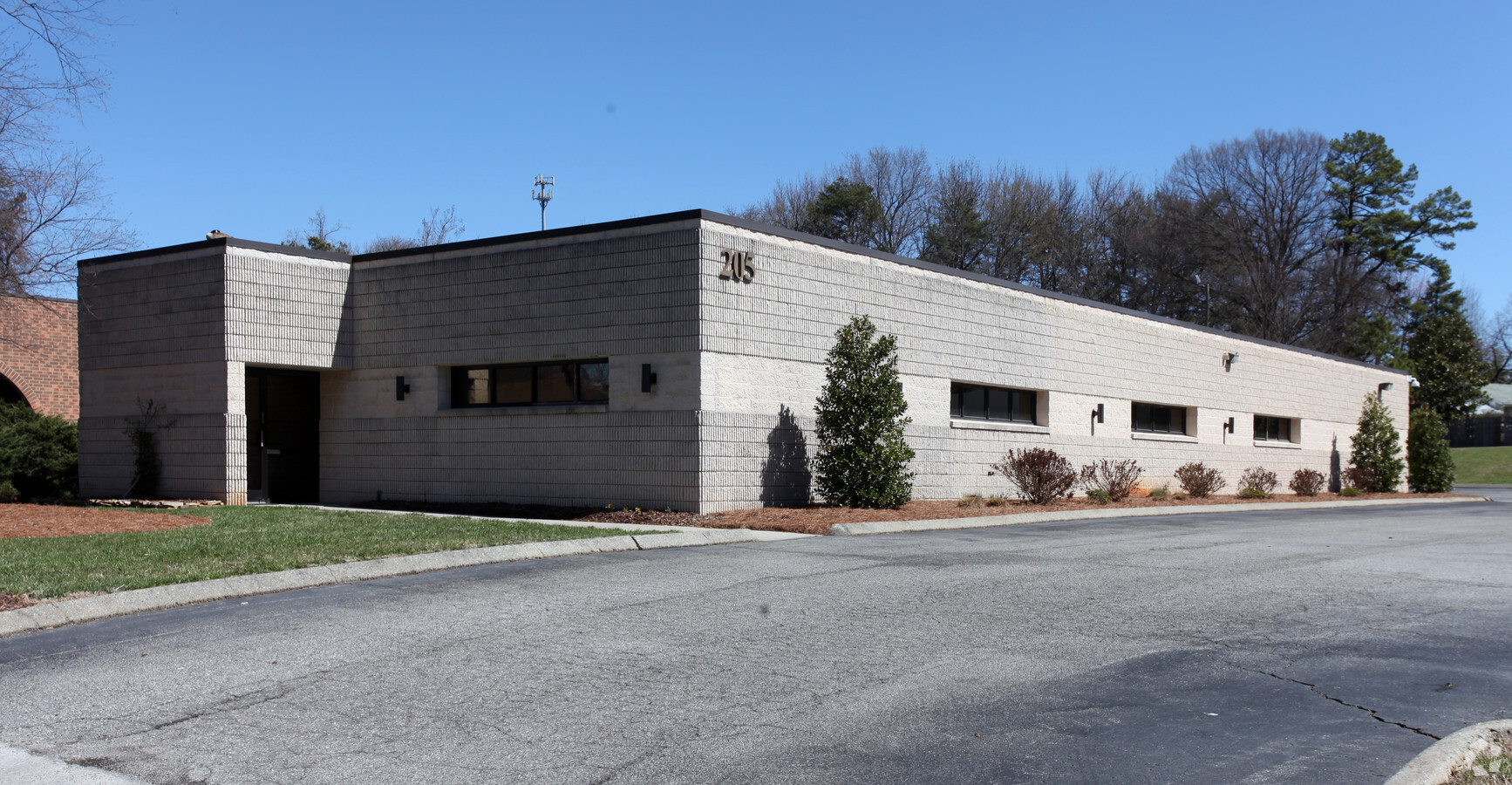
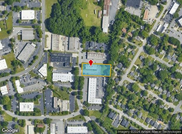
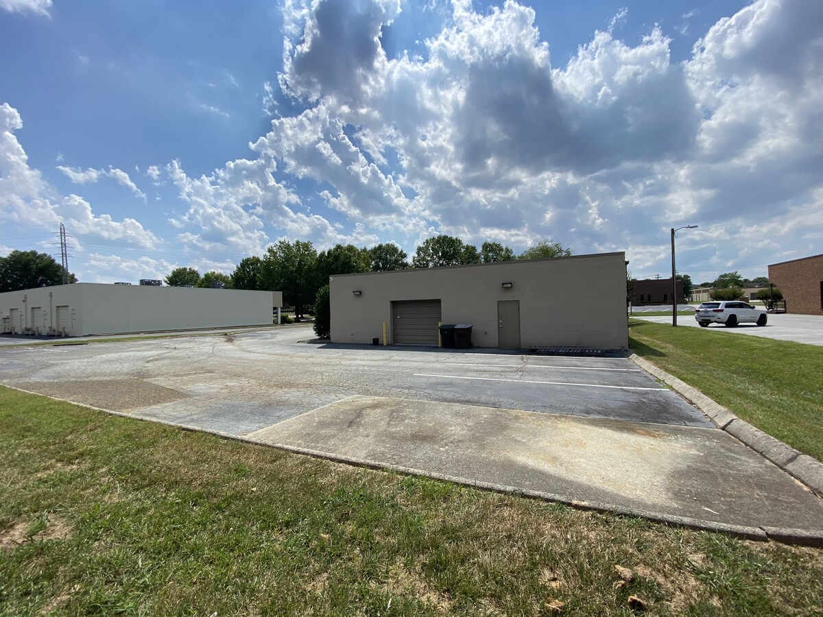
Property Record
205 S Westgate Dr, Greensboro, NC 27407
NEARBY LISTINGS FOR SALE OR LEASE
Property Detail
205 S Westgate Dr
Greensboro-High Point, NC
Pomona Park
0041927
.87 AC TRACT 30 PB 74-97 POMONA PARK
Officebuilding
Guilford
X
North Carolina
3710784400J
61
2023
0.87 AC
2023
Central Guilford County
012619
Greensboro/Winston-Salem
60 SF
DEMOGRAPHICS near 205 S Westgate Dr
1 Mile
3 Mile
5 Mile
2024 Total Population
9,259
81,422
192,192
2029 Population
9,265
81,151
191,595
Pop Growth 2024-2029
+ 0.06%
(0.33%)
(0.31%)
Average Age
35
38
38
2024 Total Households
4,092
34,873
80,445
HH Growth 2024-2029
+ 0.15%
(0.28%)
(0.25%)
Median Household Inc
$43,134
$55,717
$56,383
Avg Household Size
2.10
2.20
2.20
2024 Avg HH Vehicles
1.00
2.00
2.00
Median Home Value
$230,402
$209,939
$209,781
Median Year Built
1978
1979
1981
Nearby Places
- Restaurants
- Banks
- Shops
- Fitness
- Groceries
PUBLIC TRANSPORTATION
COMMUTER RAIL
Greensboro Station (Piedmont - North Carolina by Train (NC Train))
Drive
Walk
Distance
Greensboro Station (Piedmont - North Carolina by Train (NC Train))
11 min
5.0 mi
AIRPORT
Piedmont Triad International
Drive
Walk
Distance
Piedmont Triad International
18 min
6.2 mi
Freight Ports
Virginia Port Authority - Richmond
Drive
Walk
Distance
Virginia Port Authority - Richmond
237 min
203.3 mi
SALE & LEASE HISTORY
LISTING DATE
SALE/LEASE

Sep 16, 2020
For Lease
Jun 19, 2023
For Sale
Jul 20, 2020
For Sale
Apr 10, 2018
For Lease
Nearby Properties
Address
Land Use
TOTAL SIZE
Lot Size
Zoning
Address
Land Use
TOTAL SIZE
Lot Size
Zoning
671937
44.01 AC
PI
Address
Land Use
TOTAL SIZE
Lot Size
Zoning
593135
26.07 AC
PI
Address
Land Use
TOTAL SIZE
Lot Size
Zoning
747867
349.10 AC
PI
Address
Land Use
TOTAL SIZE
Lot Size
Zoning
892800
51.53 AC
HI
Address
Land Use
TOTAL SIZE
Lot Size
Zoning
1183298
43.02 AC
C-H
Address
Land Use
TOTAL SIZE
Lot Size
Zoning
1307155
60.56 AC
C-H
Address
Land Use
TOTAL SIZE
Lot Size
Zoning
957290
18.71 AC
C-H
Address
Land Use
TOTAL SIZE
Lot Size
Zoning
501140
50.04 AC
R-3
Address
Land Use
TOTAL SIZE
Lot Size
Zoning
275782
27.65 AC
CU-RM-12
Address
Land Use
TOTAL SIZE
Lot Size
Zoning
279853
19.80 AC
CD-RM-18
Address
Land Use
TOTAL SIZE
Lot Size
Zoning
138843
115.56 AC
CU-LI
Address
Land Use
TOTAL SIZE
Lot Size
Zoning
228253
11.21 AC
RM-18
Address
Land Use
TOTAL SIZE
Lot Size
Zoning
287581
39.35 AC
PI
Address
Land Use
TOTAL SIZE
Lot Size
Zoning
374522
56.55 AC
HI
Address
Land Use
TOTAL SIZE
Lot Size
Zoning
361604
16.55 AC
RM-18
Address
Land Use
TOTAL SIZE
Lot Size
Zoning
321985
4.80 AC
C-H
Address
Land Use
TOTAL SIZE
Lot Size
Zoning
367819
32.88 AC
CU-SC
Address
Land Use
TOTAL SIZE
Lot Size
Zoning
358324
4.02 AC
PUD
Address
Land Use
TOTAL SIZE
Lot Size
Zoning
245192
15.27 AC
CU-RM-12
Address
Land Use
TOTAL SIZE
Lot Size
Zoning
358900
60.50 AC
PI
Address
Land Use
TOTAL SIZE
Lot Size
Zoning
156800
30.81 AC
R-3
Address
Land Use
TOTAL SIZE
Lot Size
Zoning
231597
8.46 AC
PD-R
Address
Land Use
TOTAL SIZE
Lot Size
Zoning
228994
15.59 AC
AG
Address
Land Use
TOTAL SIZE
Lot Size
Zoning
145105
20.12 AC
O
Address
Land Use
TOTAL SIZE
Lot Size
Zoning
234173
22.14 AC
CU-RM-12
Address
Land Use
TOTAL SIZE
Lot Size
Zoning
680251
52.92 AC
HI
Address
Land Use
TOTAL SIZE
Lot Size
Zoning
311199
20.79 AC
CU-RM-12
Address
Land Use
TOTAL SIZE
Lot Size
Zoning
336176
31.73 AC
CU-SC
Address
Land Use
TOTAL SIZE
Lot Size
Zoning
347338
130.48 AC
PI
Address
Land Use
TOTAL SIZE
Lot Size
Zoning
136130
14.63 AC
C-H
Start a new search to find other properties for sale or lease
Connect with us
© 2024 CoStar Group
The information above has been obtained from sources believed reliable. While we do not doubt its accuracy we have not verified it and make no guarantee, warranty or representation about it. It is your responsibility to independently confirm its accuracy and completeness. Any projections, opinions, assumptions, or estimates used are for example only and do not represent the current or future performance of the property. The value of this transaction to you depends on tax and other factors which should be evaluated by your tax, financial, and legal advisors. You and your advisors should conduct a careful, independent investigation of the property to determine to your satisfaction the suitability of the property for your needs.