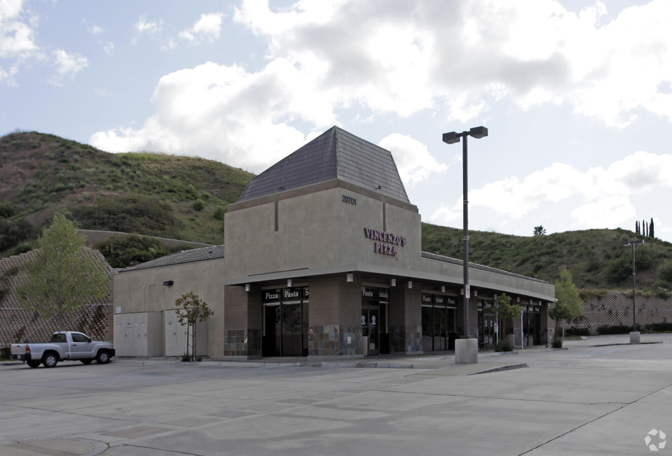
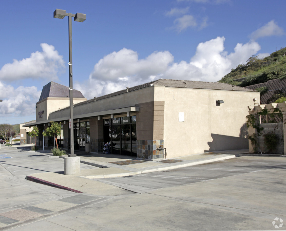
Property Record
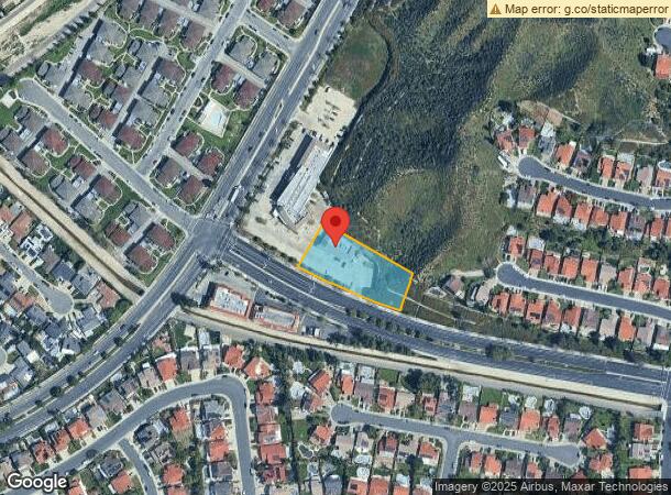
20701 Plum Canyon Rd, Santa Clarita, CA 91350
NEARBY LISTINGS FOR SALE OR LEASE
Property Detail
20701 Plum Canyon Rd
Los Angeles-Long Beach-Glendale, CA
43529
2812-038-005
PM 382-94-100 LOT 1
Restaurantbuilding
Los Angeles
X
California
06037C0830G
1
2024
0.99 AC
2024
Santa Clarita Valley
920049
Los Angeles
4,308 SF
DEMOGRAPHICS near 20701 Plum Canyon Rd
1 Mile
3 Mile
5 Mile
2024 Total Population
13,824
85,841
179,868
2029 Population
13,357
82,753
173,174
Pop Growth 2024-2029
(3.38%)
(3.60%)
(3.72%)
Average Age
39
39
39
2024 Total Households
4,308
27,176
59,753
HH Growth 2024-2029
(3.64%)
(3.93%)
(3.95%)
Median Household Inc
$134,391
$123,347
$111,877
Avg Household Size
3.10
3.10
2.90
2024 Avg HH Vehicles
2.00
2.00
2.00
Median Home Value
$723,301
$706,049
$701,792
Median Year Built
1987
1986
1989
Nearby Places
- Restaurants
- Banks
- Shops
- Fitness
- Groceries
PUBLIC TRANSPORTATION
COMMUTER RAIL
Santa Clarita (Antelope Valley Line - Southern California Regional Rail Authority (Metrolink))
DRIVE
WALK
Distance
Santa Clarita (Antelope Valley Line - Southern California Regional Rail Authority (Metrolink))
8 min
4.6 mi
Via Princessa (Antelope Valley Line - Southern California Regional Rail Authority (Metrolink))
DRIVE
WALK
Distance
Via Princessa (Antelope Valley Line - Southern California Regional Rail Authority (Metrolink))
10 min
5.1 mi
AIRPORT
Bob Hope
DRIVE
WALK
Distance
Bob Hope
34 min
24.3 mi
Freight Ports
The Port of Hueneme
DRIVE
WALK
Distance
The Port of Hueneme
78 min
55.0 mi
Nearby Properties
Address
Land Use
TOTAL SIZE
Lot Size
Zoning
Address
Land Use
TOTAL SIZE
Lot Size
Zoning
103,828 SF
6.23 AC
SCUR4
Address
Land Use
TOTAL SIZE
Lot Size
Zoning
196,958 SF
14.03 AC
SCUR5
Address
Land Use
TOTAL SIZE
Lot Size
Zoning
97,780 SF
14.98 AC
SCUR3
Address
Land Use
TOTAL SIZE
Lot Size
Zoning
216,067 SF
25.69 AC
SCBP
Address
Land Use
TOTAL SIZE
Lot Size
Zoning
123,863 SF
23.15 AC
SCNU4
Address
Land Use
TOTAL SIZE
Lot Size
Zoning
76,039 SF
11.30 AC
SCCC
Address
Land Use
TOTAL SIZE
Lot Size
Zoning
129,420 SF
23.25 AC
SCBP
Address
Land Use
TOTAL SIZE
Lot Size
Zoning
154,374 SF
15.46 AC
SCBP
Address
Land Use
TOTAL SIZE
Lot Size
Zoning
74,176 SF
6.89 AC
SCUR3
Address
Land Use
TOTAL SIZE
Lot Size
Zoning
59,240 SF
2.78 AC
SCCC
Address
Land Use
TOTAL SIZE
Lot Size
Zoning
49,750 SF
1.96 AC
SCCC
Address
Land Use
TOTAL SIZE
Lot Size
Zoning
52,692 SF
9.52 AC
SCUR2
Address
Land Use
TOTAL SIZE
Lot Size
Zoning
129,816 SF
6.50 AC
SCUR4
Address
Land Use
TOTAL SIZE
Lot Size
Zoning
265,972 SF
7.81 AC
SCCC
Address
Land Use
TOTAL SIZE
Lot Size
Zoning
131,169 SF
11.20 AC
SCSP
Address
Land Use
TOTAL SIZE
Lot Size
Zoning
57,108 SF
3.95 AC
SCCC
Address
Land Use
TOTAL SIZE
Lot Size
Zoning
171,309 SF
11.51 AC
SCBP
Address
Land Use
TOTAL SIZE
Lot Size
Zoning
115,809 SF
5 AC
SCBP
Address
Land Use
TOTAL SIZE
Lot Size
Zoning
23,178 SF
3.14 AC
SCBP
Address
Land Use
TOTAL SIZE
Lot Size
Zoning
41,922 SF
4.19 AC
SCBP
Address
Land Use
TOTAL SIZE
Lot Size
Zoning
73,399 SF
6.41 AC
SCBP
Address
Land Use
TOTAL SIZE
Lot Size
Zoning
11,770 SF
2.23 AC
SCSP
Address
Land Use
TOTAL SIZE
Lot Size
Zoning
97,961 SF
3.62 AC
SCBP
Address
Land Use
TOTAL SIZE
Lot Size
Zoning
86,544 SF
3.76 AC
SCUR4
Address
Land Use
TOTAL SIZE
Lot Size
Zoning
76,332 SF
4.86 AC
SCUR3
Address
Land Use
TOTAL SIZE
Lot Size
Zoning
65,301 SF
3.15 AC
SCUR3
Address
Land Use
TOTAL SIZE
Lot Size
Zoning
37,584 SF
10.46 AC
SCCP
Address
Land Use
TOTAL SIZE
Lot Size
Zoning
79,332 SF
3.65 AC
SCUR4
Address
Land Use
TOTAL SIZE
Lot Size
Zoning
17,992 SF
0.92 AC
SCCC
The World's #1 Commercial Real Estate Marketplace
Connect with us
© 2025 CoStar Group
The information above has been obtained from sources believed reliable. While we do not doubt its accuracy we have not verified it and make no guarantee, warranty or representation about it. It is your responsibility to independently confirm its accuracy and completeness. Any projections, opinions, assumptions, or estimates used are for example only and do not represent the current or future performance of the property. The value of this transaction to you depends on tax and other factors which should be evaluated by your tax, financial, and legal advisors. You and your advisors should conduct a careful, independent investigation of the property to determine to your satisfaction the suitability of the property for your needs.