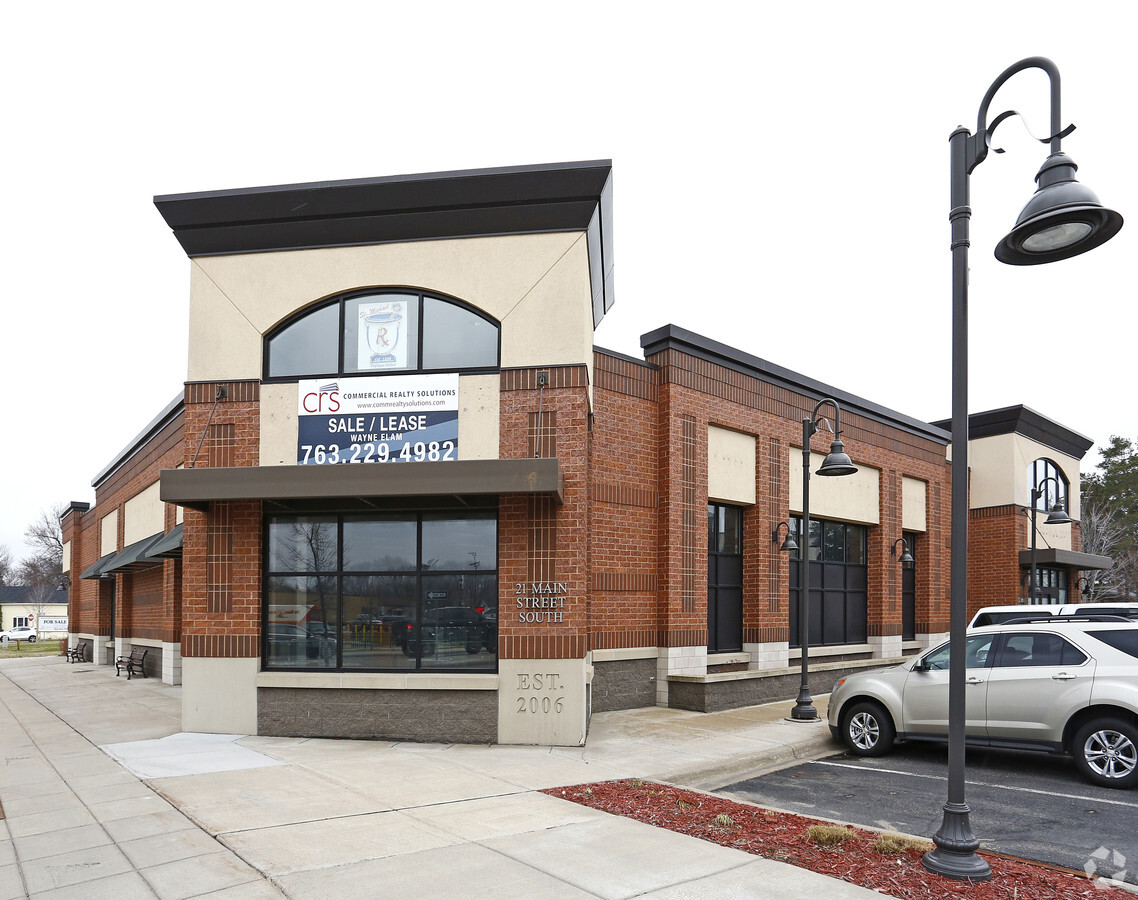
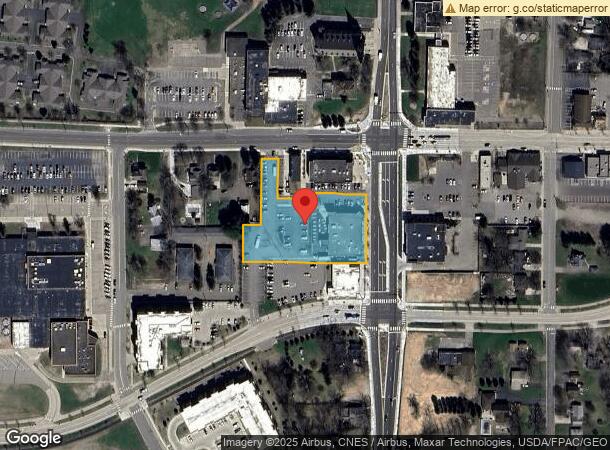
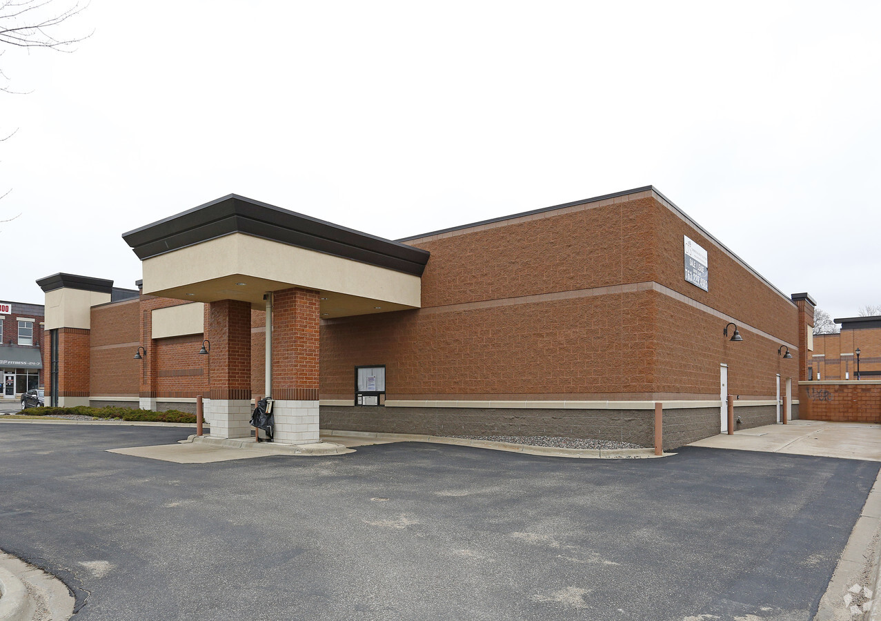
Property Record
21 Main St S, Saint Michael, MN 55376

NEARBY LISTINGS FOR SALE OR LEASE
Property Detail
21 Main St S
Minneapolis/St Paul
Cornerstone Addn
Minneapolis-St. Paul-Bloomington, MN-WI
SECT-14 TWP-120 RANGE-024 CORNERSTONE ADDN LOT-001 BLOCK-001
114-293-001010
Wright
Restaurantbuilding
Minnesota
2024
1
2024
1.46 AC
1008014034
Wright County
10,890 SF
DEMOGRAPHICS near 21 Main St S
1 Mile
3 Mile
5 Mile
2024 Total Population
8,138
28,243
46,947
2029 Population
9,067
31,555
51,781
Pop Growth 2024-2029
+ 11.42%
+ 11.73%
+ 10.30%
Average Age
36
36
35
2024 Total Households
2,699
9,305
15,313
HH Growth 2024-2029
+ 11.60%
+ 11.80%
+ 10.34%
Median Household Inc
$124,524
$121,974
$121,562
Avg Household Size
3.00
3.00
3.00
2024 Avg HH Vehicles
2.00
2.00
2.00
Median Home Value
$303,738
$321,024
$335,027
Median Year Built
1995
2001
2002
Nearby Places
- Restaurants
- Banks
- Shops
- Fitness
- Groceries
SALE & LEASE HISTORY
LISTING DATE
SALE/LEASE

Sep 26, 2016
For Lease
Sep 24, 2016
For Sale
Mar 29, 2017
For Lease
Mar 22, 2017
For Sale
Nearby Properties
Address
Land Use
TOTAL SIZE
Lot Size
Zoning
Address
Land Use
TOTAL SIZE
Lot Size
Zoning
25,380 SF
130.75 AC
Address
Land Use
TOTAL SIZE
Lot Size
Zoning
44.82 AC
Address
Land Use
TOTAL SIZE
Lot Size
Zoning
40,984 SF
21.46 AC
Address
Land Use
TOTAL SIZE
Lot Size
Zoning
40,984 SF
34.62 AC
Address
Land Use
TOTAL SIZE
Lot Size
Zoning
4,240 SF
2.45 AC
Address
Land Use
TOTAL SIZE
Lot Size
Zoning
58.85 AC
Address
Land Use
TOTAL SIZE
Lot Size
Zoning
Address
Land Use
TOTAL SIZE
Lot Size
Zoning
Address
Land Use
TOTAL SIZE
Lot Size
Zoning
Address
Land Use
TOTAL SIZE
Lot Size
Zoning
178,398 SF
24 AC
Address
Land Use
TOTAL SIZE
Lot Size
Zoning
Address
Land Use
TOTAL SIZE
Lot Size
Zoning
7,932 SF
13.29 AC
Address
Land Use
TOTAL SIZE
Lot Size
Zoning
21,935 SF
4.15 AC
Address
Land Use
TOTAL SIZE
Lot Size
Zoning
31,553 SF
45.33 AC
Address
Land Use
TOTAL SIZE
Lot Size
Zoning
26,187 SF
2.04 AC
Address
Land Use
TOTAL SIZE
Lot Size
Zoning
22,258 SF
2.35 AC
Address
Land Use
TOTAL SIZE
Lot Size
Zoning
16.21 AC
Address
Land Use
TOTAL SIZE
Lot Size
Zoning
78,300 SF
3.80 AC
Address
Land Use
TOTAL SIZE
Lot Size
Zoning
Address
Land Use
TOTAL SIZE
Lot Size
Zoning
78,708 SF
7.70 AC
Address
Land Use
TOTAL SIZE
Lot Size
Zoning
80,321 SF
17.88 AC
Address
Land Use
TOTAL SIZE
Lot Size
Zoning
Address
Land Use
TOTAL SIZE
Lot Size
Zoning
28,764 SF
4.10 AC
Address
Land Use
TOTAL SIZE
Lot Size
Zoning
Address
Land Use
TOTAL SIZE
Lot Size
Zoning
12,250 SF
20.65 AC
Address
Land Use
TOTAL SIZE
Lot Size
Zoning
15,560 SF
59.44 AC
Address
Land Use
TOTAL SIZE
Lot Size
Zoning
Address
Land Use
TOTAL SIZE
Lot Size
Zoning
Address
Land Use
TOTAL SIZE
Lot Size
Zoning
94,314 SF
1.09 AC
The World's #1 Commercial Real Estate Marketplace
Connect with us
© 2025 CoStar Group
The information above has been obtained from sources believed reliable. While we do not doubt its accuracy we have not verified it and make no guarantee, warranty or representation about it. It is your responsibility to independently confirm its accuracy and completeness. Any projections, opinions, assumptions, or estimates used are for example only and do not represent the current or future performance of the property. The value of this transaction to you depends on tax and other factors which should be evaluated by your tax, financial, and legal advisors. You and your advisors should conduct a careful, independent investigation of the property to determine to your satisfaction the suitability of the property for your needs.