Property Record
2100 Douglas Way, Vandalia, OH 45377
NEARBY LISTINGS FOR SALE OR LEASE
Property Detail
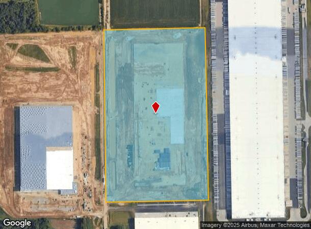
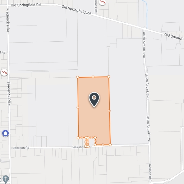
2100 Douglas Way
M58100503-0011
5-5-12 - 5-3-3 11E (.995AC), 5-3-13 2000 ANNEXATION BAL/VAL PLATTED 2024 R/W DED.
Warehouse
Montgomery
X
Ohio
39109C0245E
56.13 AC
2023
North Dayton
2024
Cincinnati/Dayton
110100
Dayton, OH
1,059,902 SF
DEMOGRAPHICS near 2100 Douglas Way
1 Mile
3 Mile
5 Mile
2024 Total Population
382
10,436
56,131
2029 Population
368
10,253
55,242
Pop Growth 2024-2029
(3.66%)
(1.75%)
(1.58%)
Average Age
42
42
43
2024 Total Households
143
4,439
23,537
HH Growth 2024-2029
(3.50%)
(1.78%)
(1.63%)
Median Household Inc
$101,190
$66,835
$72,859
Avg Household Size
2.70
2.30
2.30
2024 Avg HH Vehicles
2.00
2.00
2.00
Median Home Value
$299,999
$170,131
$176,166
Median Year Built
1968
1970
1971
Nearby Places
- Restaurants
- Banks
- Shops
- Fitness
- Groceries
PUBLIC TRANSPORTATION
AIRPORT
James M Cox Dayton International
DRIVE
WALK
Distance
James M Cox Dayton International
12 min
4.3 mi
Freight Ports
Port of Toledo
DRIVE
WALK
Distance
Port of Toledo
177 min
149.0 mi
SALE & LEASE HISTORY
LISTING DATE
SALE/LEASE

Mar 01, 2018
For Lease
Nearby Properties
Address
Land Use
TOTAL SIZE
Lot Size
Zoning
Address
Land Use
TOTAL SIZE
Lot Size
Zoning
1,841,033 SF
129.70 AC
Address
Land Use
TOTAL SIZE
Lot Size
Zoning
551,408 SF
71 AC
Address
Land Use
TOTAL SIZE
Lot Size
Zoning
573,962 SF
879.20 AC
Address
Land Use
TOTAL SIZE
Lot Size
Zoning
834,238 SF
42.04 AC
Address
Land Use
TOTAL SIZE
Lot Size
Zoning
704,988 SF
49.15 AC
Address
Land Use
TOTAL SIZE
Lot Size
Zoning
664,824 SF
1,128.84 AC
Address
Land Use
TOTAL SIZE
Lot Size
Zoning
1,841,033 SF
129.70 AC
Address
Land Use
TOTAL SIZE
Lot Size
Zoning
597,314 SF
38.27 AC
Address
Land Use
TOTAL SIZE
Lot Size
Zoning
730,000 SF
56.40 AC
Address
Land Use
TOTAL SIZE
Lot Size
Zoning
522,340 SF
36.59 AC
Address
Land Use
TOTAL SIZE
Lot Size
Zoning
730,000 SF
56.40 AC
Address
Land Use
TOTAL SIZE
Lot Size
Zoning
12,660 SF
20.22 AC
Address
Land Use
TOTAL SIZE
Lot Size
Zoning
143,980 SF
35.40 AC
Address
Land Use
TOTAL SIZE
Lot Size
Zoning
222,799 SF
13.74 AC
Address
Land Use
TOTAL SIZE
Lot Size
Zoning
0.45 AC
Address
Land Use
TOTAL SIZE
Lot Size
Zoning
Address
Land Use
TOTAL SIZE
Lot Size
Zoning
165,018 SF
19.77 AC
Address
Land Use
TOTAL SIZE
Lot Size
Zoning
164,834 SF
24.53 AC
Address
Land Use
TOTAL SIZE
Lot Size
Zoning
70,388 SF
6 AC
Address
Land Use
TOTAL SIZE
Lot Size
Zoning
100,852 SF
12.12 AC
Address
Land Use
TOTAL SIZE
Lot Size
Zoning
10.50 AC
Address
Land Use
TOTAL SIZE
Lot Size
Zoning
25,780 SF
9.35 AC
Address
Land Use
TOTAL SIZE
Lot Size
Zoning
132,723 SF
14.99 AC
Address
Land Use
TOTAL SIZE
Lot Size
Zoning
10.13 AC
Address
Land Use
TOTAL SIZE
Lot Size
Zoning
24,600 SF
6.97 AC
Address
Land Use
TOTAL SIZE
Lot Size
Zoning
664,824 SF
39.27 AC
Address
Land Use
TOTAL SIZE
Lot Size
Zoning
59,122 SF
6.42 AC
Address
Land Use
TOTAL SIZE
Lot Size
Zoning
33,666 SF
8 AC
Address
Land Use
TOTAL SIZE
Lot Size
Zoning
54,762 SF
6.45 AC
The World's #1 Commercial Real Estate Marketplace
Connect with us
© 2025 CoStar Group
The information above has been obtained from sources believed reliable. While we do not doubt its accuracy we have not verified it and make no guarantee, warranty or representation about it. It is your responsibility to independently confirm its accuracy and completeness. Any projections, opinions, assumptions, or estimates used are for example only and do not represent the current or future performance of the property. The value of this transaction to you depends on tax and other factors which should be evaluated by your tax, financial, and legal advisors. You and your advisors should conduct a careful, independent investigation of the property to determine to your satisfaction the suitability of the property for your needs.