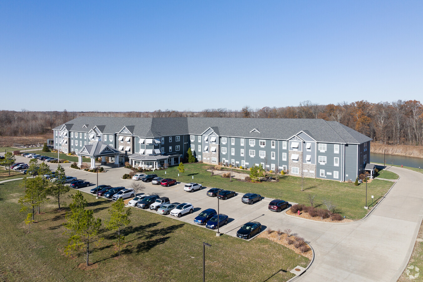
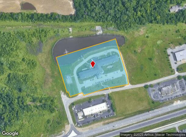
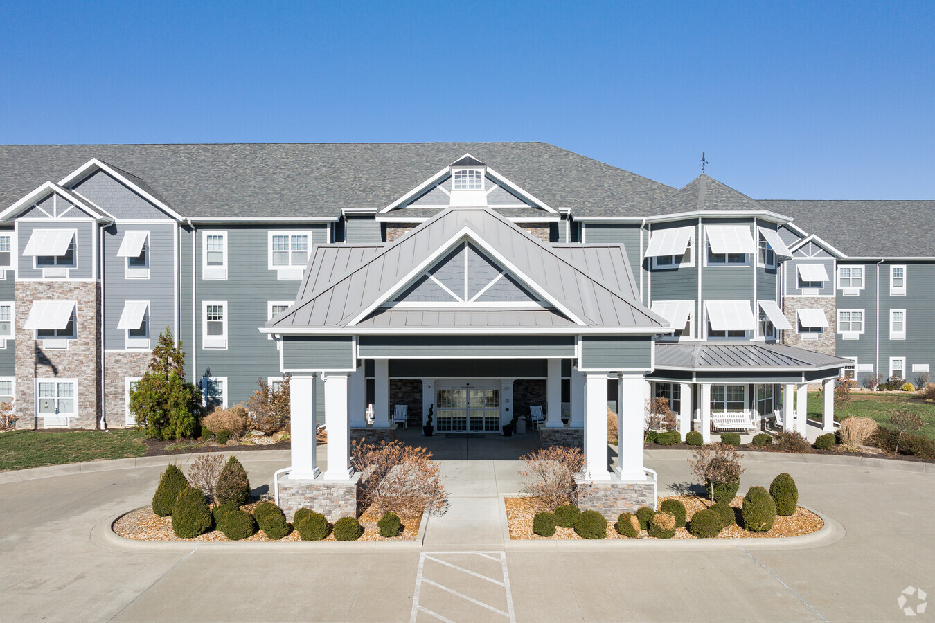
Property Record
2100 Reed Station Pky, Carbondale, IL 62901
NEARBY LISTINGS FOR SALE OR LEASE
-
-
View all Carbondale listings for sale on LoopNet.com
Property Detail
2100 Reed Station Pky
Carbondale-Marion, IL
Reed Station Xing
15-13-101-006
PT LOT 7 REED STATION CROSSING & PT LOT 6-D REED STATION CROSSING 2ND PLAT FKA PT LOT 6 - REED STATION CROSSING - IRREGULAR TR LYING IN W PT LOT 6 13-9-1 6.50 ACRES PC 2 SL A195 2015R006452 SURV BK 09G21
Commercialnec
Jackson
X
Illinois
17055C0275D
6,7
2023
6.50 AC
2023
Marion/I-64 & South
0109001087
Other Market Areas
DEMOGRAPHICS near 2100 Reed Station Pky
1 Mile
3 Mile
5 Mile
2024 Total Population
860
11,071
32,061
2029 Population
856
11,024
31,856
Pop Growth 2024-2029
(0.47%)
(0.42%)
(0.64%)
Average Age
40
33
35
2024 Total Households
393
5,067
14,166
HH Growth 2024-2029
(0.76%)
(0.45%)
(0.64%)
Median Household Inc
$57,646
$28,296
$35,181
Avg Household Size
2.20
2.00
2.00
2024 Avg HH Vehicles
2.00
1.00
2.00
Median Home Value
$113,158
$117,987
$147,747
Median Year Built
1977
1979
1980
Nearby Places
- Restaurants
- Banks
- Shops
- Fitness
- Groceries
PUBLIC TRANSPORTATION
COMMUTER RAIL
Carbondale (City of New Orleans - Amtrak, Illini - Amtrak, Saluki - Amtrak)
DRIVE
WALK
Distance
Carbondale (City of New Orleans - Amtrak, Illini - Amtrak, Saluki - Amtrak)
7 min
3.8 mi
Freight Ports
Port Milwaukee
DRIVE
WALK
Distance
Port Milwaukee
468 min
413.3 mi
Nearby Properties
Address
Land Use
TOTAL SIZE
Lot Size
Zoning
Address
Land Use
TOTAL SIZE
Lot Size
Zoning
Address
Land Use
TOTAL SIZE
Lot Size
Zoning
16.78 AC
Address
Land Use
TOTAL SIZE
Lot Size
Zoning
3.76 AC
Address
Land Use
TOTAL SIZE
Lot Size
Zoning
18.37 AC
Address
Land Use
TOTAL SIZE
Lot Size
Zoning
17.78 AC
Address
Land Use
TOTAL SIZE
Lot Size
Zoning
Address
Land Use
TOTAL SIZE
Lot Size
Zoning
4.53 AC
Address
Land Use
TOTAL SIZE
Lot Size
Zoning
2.84 AC
Address
Land Use
TOTAL SIZE
Lot Size
Zoning
Address
Land Use
TOTAL SIZE
Lot Size
Zoning
2.50 AC
Address
Land Use
TOTAL SIZE
Lot Size
Zoning
10.15 AC
Address
Land Use
TOTAL SIZE
Lot Size
Zoning
Address
Land Use
TOTAL SIZE
Lot Size
Zoning
Address
Land Use
TOTAL SIZE
Lot Size
Zoning
Address
Land Use
TOTAL SIZE
Lot Size
Zoning
Address
Land Use
TOTAL SIZE
Lot Size
Zoning
11.29 AC
Address
Land Use
TOTAL SIZE
Lot Size
Zoning
7.50 AC
Address
Land Use
TOTAL SIZE
Lot Size
Zoning
3.88 AC
Address
Land Use
TOTAL SIZE
Lot Size
Zoning
1.89 AC
Address
Land Use
TOTAL SIZE
Lot Size
Zoning
1.69 AC
Address
Land Use
TOTAL SIZE
Lot Size
Zoning
2,800 SF
3.58 AC
Address
Land Use
TOTAL SIZE
Lot Size
Zoning
0.85 AC
Address
Land Use
TOTAL SIZE
Lot Size
Zoning
Address
Land Use
TOTAL SIZE
Lot Size
Zoning
1.17 AC
Address
Land Use
TOTAL SIZE
Lot Size
Zoning
4.66 AC
Address
Land Use
TOTAL SIZE
Lot Size
Zoning
3.03 AC
The World's #1 Commercial Real Estate Marketplace
Connect with us
© 2025 CoStar Group
The information above has been obtained from sources believed reliable. While we do not doubt its accuracy we have not verified it and make no guarantee, warranty or representation about it. It is your responsibility to independently confirm its accuracy and completeness. Any projections, opinions, assumptions, or estimates used are for example only and do not represent the current or future performance of the property. The value of this transaction to you depends on tax and other factors which should be evaluated by your tax, financial, and legal advisors. You and your advisors should conduct a careful, independent investigation of the property to determine to your satisfaction the suitability of the property for your needs.