Property Record
21201 Krameria Ave, March Air Reserve Base, CA 92518
NEARBY LISTINGS FOR SALE OR LEASE
-
-
-
-
-
No Photo
-
View all March Air Reserve Base listings for sale on LoopNet.com
Property Detail
21201 Krameria Ave
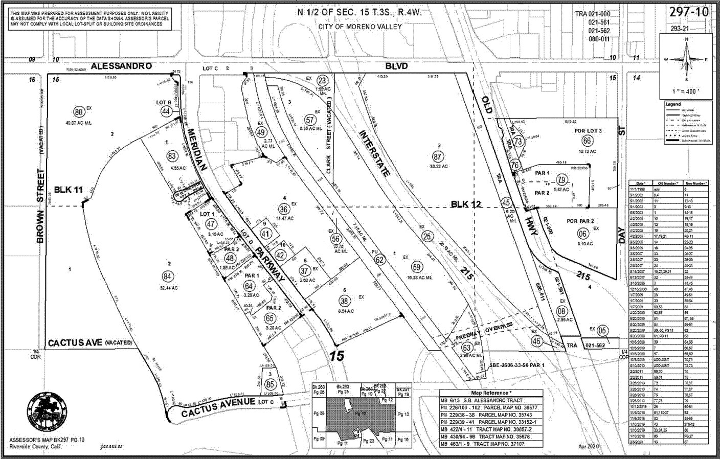
294-690-005
ACRES 7.31000000 ACREAGEQUALCODE ML LOT 13 LOTTYPE L MAPPLATB 470 MAPPLATP 030 SUBDIVISIONNAME TR 30857-9
Lightindustrial
Riverside
X
California
06065C1390G
13
2023
3.03 AC
2023
Moreno Valley/Perris
046700
Inland Empire (California)
53,085 SF
Riverside-San Bernardino-Ontario, CA
DEMOGRAPHICS near 21201 Krameria Ave
1 Mile
3 Mile
5 Mile
2024 Total Population
10,629
45,306
162,232
2029 Population
11,101
47,484
170,404
Pop Growth 2024-2029
+ 4.44%
+ 4.81%
+ 5.04%
Average Age
37
37
36
2024 Total Households
2,965
12,590
45,834
HH Growth 2024-2029
+ 3.84%
+ 4.47%
+ 4.70%
Median Household Inc
$130,995
$116,257
$86,520
Avg Household Size
3.50
3.40
3.40
2024 Avg HH Vehicles
3.00
3.00
2.00
Median Home Value
$627,520
$649,067
$521,481
Median Year Built
1993
1993
1987
Nearby Places
- Restaurants
- Banks
- Shops
- Fitness
- Groceries
PUBLIC TRANSPORTATION
AIRPORT
Ontario International
DRIVE
WALK
Distance
Ontario International
34 min
25.3 mi
John Wayne/Orange County
DRIVE
WALK
Distance
John Wayne/Orange County
49 min
38.9 mi
Freight Ports
Port of Long Beach
DRIVE
WALK
Distance
Port of Long Beach
70 min
52.9 mi
Nearby Properties
Address
Land Use
TOTAL SIZE
Lot Size
Zoning
Address
Land Use
TOTAL SIZE
Lot Size
Zoning
139,800 SF
9.21 AC
IP
Address
Land Use
TOTAL SIZE
Lot Size
Zoning
66,031 SF
3.78 AC
Address
Land Use
TOTAL SIZE
Lot Size
Zoning
37.59 AC
MIX
Address
Land Use
TOTAL SIZE
Lot Size
Zoning
9.90 AC
SPZONE
Address
Land Use
TOTAL SIZE
Lot Size
Zoning
224,440 SF
13.70 AC
SPZONE
Address
Land Use
TOTAL SIZE
Lot Size
Zoning
48,078 SF
1.73 AC
SP
Address
Land Use
TOTAL SIZE
Lot Size
Zoning
11,786 SF
7.41 AC
C1CP
Address
Land Use
TOTAL SIZE
Lot Size
Zoning
26,535 SF
2.92 AC
SPZONE
Address
Land Use
TOTAL SIZE
Lot Size
Zoning
73,534 SF
2.21 AC
MSC
Address
Land Use
TOTAL SIZE
Lot Size
Zoning
95,649 SF
2.73 AC
CPS
Address
Land Use
TOTAL SIZE
Lot Size
Zoning
22.29 AC
CBOOK
Address
Land Use
TOTAL SIZE
Lot Size
Zoning
1.98 AC
Address
Land Use
TOTAL SIZE
Lot Size
Zoning
2.02 AC
SPZONE
Address
Land Use
TOTAL SIZE
Lot Size
Zoning
1.95 AC
Address
Land Use
TOTAL SIZE
Lot Size
Zoning
27,360 SF
1.86 AC
SPZONE
Address
Land Use
TOTAL SIZE
Lot Size
Zoning
56,494 SF
4.14 AC
SPZONE
Address
Land Use
TOTAL SIZE
Lot Size
Zoning
26,250 SF
2.94 AC
Address
Land Use
TOTAL SIZE
Lot Size
Zoning
63,430 SF
3.49 AC
BP
Address
Land Use
TOTAL SIZE
Lot Size
Zoning
21,357 SF
1.25 AC
Address
Land Use
TOTAL SIZE
Lot Size
Zoning
5,213 SF
0.99 AC
SP
Address
Land Use
TOTAL SIZE
Lot Size
Zoning
43,928 SF
2.26 AC
RR
Address
Land Use
TOTAL SIZE
Lot Size
Zoning
18,000 SF
12.48 AC
MSC
Address
Land Use
TOTAL SIZE
Lot Size
Zoning
19,978 SF
0.85 AC
SP
Address
Land Use
TOTAL SIZE
Lot Size
Zoning
22.98 AC
Address
Land Use
TOTAL SIZE
Lot Size
Zoning
19,107 SF
1.32 AC
Address
Land Use
TOTAL SIZE
Lot Size
Zoning
20,360 SF
1.17 AC
Address
Land Use
TOTAL SIZE
Lot Size
Zoning
46,956 SF
2.40 AC
RR
Address
Land Use
TOTAL SIZE
Lot Size
Zoning
37,225 SF
2.40 AC
SPZONE
The World's #1 Commercial Real Estate Marketplace
Connect with us
© 2025 CoStar Group
The information above has been obtained from sources believed reliable. While we do not doubt its accuracy we have not verified it and make no guarantee, warranty or representation about it. It is your responsibility to independently confirm its accuracy and completeness. Any projections, opinions, assumptions, or estimates used are for example only and do not represent the current or future performance of the property. The value of this transaction to you depends on tax and other factors which should be evaluated by your tax, financial, and legal advisors. You and your advisors should conduct a careful, independent investigation of the property to determine to your satisfaction the suitability of the property for your needs.