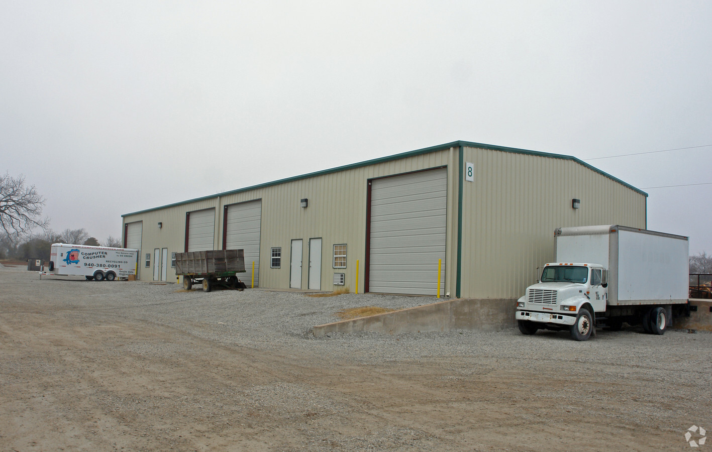
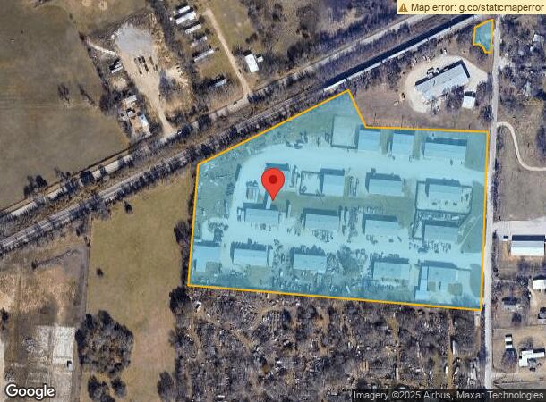
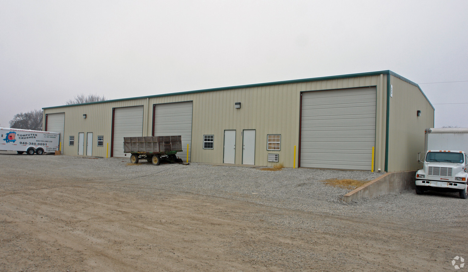
Property Record
2141 Collins Rd, Denton, TX 76208
NEARBY LISTINGS FOR SALE OR LEASE
Property Detail
2141 Collins Rd
R136141
T.H. Living
Commercialnec
A0729A T.H. LIVING, TR 34A, 15.891 ACRES, OLD DCAD TR 19A
X
Denton
48121C0380G
Texas
2024
15.89 AC
2024
Denton
020506
Dallas/Ft Worth
89,940 SF
Dallas-Fort Worth-Arlington, TX
DEMOGRAPHICS near 2141 Collins Rd
1 Mile
3 Mile
5 Mile
2024 Total Population
1,156
22,669
87,792
2029 Population
1,408
27,386
105,993
Pop Growth 2024-2029
+ 21.80%
+ 20.81%
+ 20.73%
Average Age
41
37
36
2024 Total Households
423
8,119
33,506
HH Growth 2024-2029
+ 22.70%
+ 21.39%
+ 21.43%
Median Household Inc
$54,138
$73,540
$63,476
Avg Household Size
2.50
2.70
2.40
2024 Avg HH Vehicles
2.00
2.00
2.00
Median Home Value
$255,263
$261,356
$267,574
Median Year Built
1988
1989
1991
Nearby Places
- Restaurants
- Banks
- Shops
- Fitness
- Groceries
PUBLIC TRANSPORTATION
COMMUTER RAIL
Downtown Denton Transit Center (A-train - Denton County Transportation Authority)
DRIVE
WALK
Distance
Downtown Denton Transit Center (A-train - Denton County Transportation Authority)
14 min
6.8 mi
Medpark Station (A-train - Denton County Transportation Authority)
DRIVE
WALK
Distance
Medpark Station (A-train - Denton County Transportation Authority)
16 min
7.1 mi
AIRPORT
Dallas-Fort Worth International
DRIVE
WALK
Distance
Dallas-Fort Worth International
44 min
30.5 mi
Freight Ports
Port of Shreveport
DRIVE
WALK
Distance
Port of Shreveport
263 min
237.0 mi
Nearby Properties
Address
Land Use
TOTAL SIZE
Lot Size
Zoning
Address
Land Use
TOTAL SIZE
Lot Size
Zoning
347,845 SF
15.53 AC
Address
Land Use
TOTAL SIZE
Lot Size
Zoning
306,353 SF
11.31 AC
Address
Land Use
TOTAL SIZE
Lot Size
Zoning
150,162 SF
40.40 AC
Address
Land Use
TOTAL SIZE
Lot Size
Zoning
183,624 SF
19.02 AC
Address
Land Use
TOTAL SIZE
Lot Size
Zoning
282,960 SF
21.97 AC
Address
Land Use
TOTAL SIZE
Lot Size
Zoning
170,692 SF
11.30 AC
Address
Land Use
TOTAL SIZE
Lot Size
Zoning
241,730 SF
11.17 AC
19A
Address
Land Use
TOTAL SIZE
Lot Size
Zoning
243,855 SF
9.92 AC
Address
Land Use
TOTAL SIZE
Lot Size
Zoning
412,656 SF
43.71 AC
Address
Land Use
TOTAL SIZE
Lot Size
Zoning
127,128 SF
9.35 AC
Address
Land Use
TOTAL SIZE
Lot Size
Zoning
14,160 SF
15.47 AC
Address
Land Use
TOTAL SIZE
Lot Size
Zoning
168,505 SF
14.55 AC
Address
Land Use
TOTAL SIZE
Lot Size
Zoning
123,961 SF
6.93 AC
17A
Address
Land Use
TOTAL SIZE
Lot Size
Zoning
2,503 SF
116.42 AC
Address
Land Use
TOTAL SIZE
Lot Size
Zoning
141,145 SF
8.10 AC
18F
Address
Land Use
TOTAL SIZE
Lot Size
Zoning
162,546 SF
7.12 AC
Address
Land Use
TOTAL SIZE
Lot Size
Zoning
185,040 SF
6.02 AC
Address
Land Use
TOTAL SIZE
Lot Size
Zoning
129,166 SF
6.39 AC
Address
Land Use
TOTAL SIZE
Lot Size
Zoning
59,954 SF
9.52 AC
Address
Land Use
TOTAL SIZE
Lot Size
Zoning
118,671 SF
14.34 AC
Address
Land Use
TOTAL SIZE
Lot Size
Zoning
58,140 SF
17.76 AC
Address
Land Use
TOTAL SIZE
Lot Size
Zoning
114,309 SF
6.94 AC
18F
Address
Land Use
TOTAL SIZE
Lot Size
Zoning
34,636 SF
7.91 AC
Address
Land Use
TOTAL SIZE
Lot Size
Zoning
108,780 SF
7.11 AC
Address
Land Use
TOTAL SIZE
Lot Size
Zoning
36,994 SF
6.22 AC
Address
Land Use
TOTAL SIZE
Lot Size
Zoning
42,163 SF
15.76 AC
Address
Land Use
TOTAL SIZE
Lot Size
Zoning
129,571 SF
25.66 AC
Address
Land Use
TOTAL SIZE
Lot Size
Zoning
125,181 SF
6.88 AC
Address
Land Use
TOTAL SIZE
Lot Size
Zoning
80,649 SF
21.16 AC
Address
Land Use
TOTAL SIZE
Lot Size
Zoning
42,209 SF
4.23 AC
The World's #1 Commercial Real Estate Marketplace
Connect with us
© 2025 CoStar Group
The information above has been obtained from sources believed reliable. While we do not doubt its accuracy we have not verified it and make no guarantee, warranty or representation about it. It is your responsibility to independently confirm its accuracy and completeness. Any projections, opinions, assumptions, or estimates used are for example only and do not represent the current or future performance of the property. The value of this transaction to you depends on tax and other factors which should be evaluated by your tax, financial, and legal advisors. You and your advisors should conduct a careful, independent investigation of the property to determine to your satisfaction the suitability of the property for your needs.