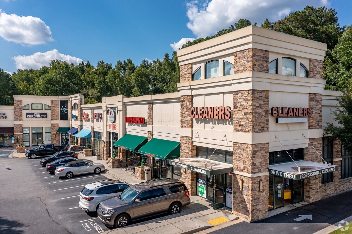
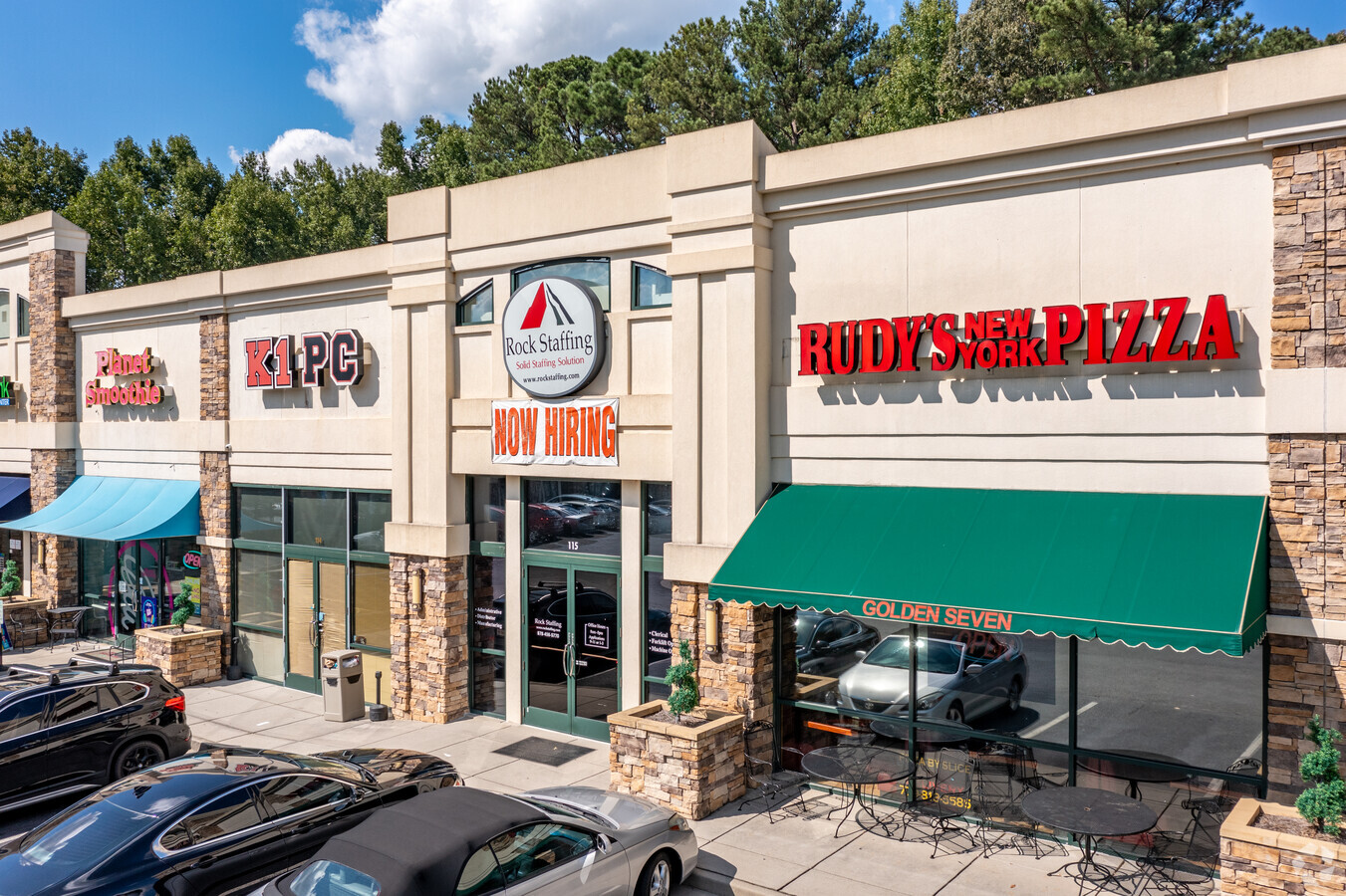
Property Record
2148 Duluth Highway 120, Duluth, GA 30097

Current Lease Availabilities
NEARBY LISTINGS FOR SALE OR LEASE
Property Detail
2148 Duluth Highway 120
7-116-010
HWY 120
Stripcommercialcenter
Gwinnett
AE
Georgia
13135C0070F
116
2024
4.18 AC
2023
Gwinnett Mall/Duluth
050236
Atlanta
36,441 SF
Atlanta-Sandy Springs-Roswell, GA
DEMOGRAPHICS near 2148 Duluth Highway 120
1 Mile
3 Mile
5 Mile
2024 Total Population
8,674
87,291
243,300
2029 Population
9,341
91,344
253,917
Pop Growth 2024-2029
+ 7.69%
+ 4.64%
+ 4.36%
Average Age
38
37
37
2024 Total Households
3,258
31,759
86,258
HH Growth 2024-2029
+ 7.18%
+ 4.72%
+ 4.45%
Median Household Inc
$48,757
$63,431
$65,508
Avg Household Size
2.60
2.70
2.80
2024 Avg HH Vehicles
2.00
2.00
2.00
Median Home Value
$404,380
$318,028
$286,721
Median Year Built
2004
1996
1994
Nearby Places
- Restaurants
- Banks
- Shops
- Fitness
- Groceries
Nearby Properties
Address
Land Use
TOTAL SIZE
Lot Size
Zoning
Address
Land Use
TOTAL SIZE
Lot Size
Zoning
628,779 SF
97.15 AC
M1
Address
Land Use
TOTAL SIZE
Lot Size
Zoning
344,203 SF
17.05 AC
MUR
Address
Land Use
TOTAL SIZE
Lot Size
Zoning
491,944 SF
38.60 AC
RM13
Address
Land Use
TOTAL SIZE
Lot Size
Zoning
20,896 SF
38.74 AC
RM13-MULTI
Address
Land Use
TOTAL SIZE
Lot Size
Zoning
483,319 SF
47.80 AC
RM13
Address
Land Use
TOTAL SIZE
Lot Size
Zoning
567,189 SF
47.90 AC
RM13
Address
Land Use
TOTAL SIZE
Lot Size
Zoning
1,300,470 SF
287.48 AC
M2
Address
Land Use
TOTAL SIZE
Lot Size
Zoning
272,196 SF
44.76 AC
RM13
Address
Land Use
TOTAL SIZE
Lot Size
Zoning
327,680 SF
29.70 AC
RM13
Address
Land Use
TOTAL SIZE
Lot Size
Zoning
409,542 SF
35.94 AC
RM13
Address
Land Use
TOTAL SIZE
Lot Size
Zoning
450,095 SF
45.79 AC
RM10
Address
Land Use
TOTAL SIZE
Lot Size
Zoning
438,488 SF
35.04 AC
RM
Address
Land Use
TOTAL SIZE
Lot Size
Zoning
315,806 SF
13.03 AC
MUR
Address
Land Use
TOTAL SIZE
Lot Size
Zoning
379,346 SF
35.71 AC
RM13
Address
Land Use
TOTAL SIZE
Lot Size
Zoning
360,962 SF
32.67 AC
M2
Address
Land Use
TOTAL SIZE
Lot Size
Zoning
1,650,103 SF
112.95 AC
C2
Address
Land Use
TOTAL SIZE
Lot Size
Zoning
90,748 SF
21 AC
R100
Address
Land Use
TOTAL SIZE
Lot Size
Zoning
419,855 SF
29.83 AC
RM13
Address
Land Use
TOTAL SIZE
Lot Size
Zoning
403,119 SF
37.43 AC
RM
Address
Land Use
TOTAL SIZE
Lot Size
Zoning
296,482 SF
14.90 AC
MUR
Address
Land Use
TOTAL SIZE
Lot Size
Zoning
389,385 SF
25.93 AC
RM13
Address
Land Use
TOTAL SIZE
Lot Size
Zoning
43,680 SF
20.98 AC
RM10-MULTI
Address
Land Use
TOTAL SIZE
Lot Size
Zoning
517,632 SF
77.07 AC
OI
Address
Land Use
TOTAL SIZE
Lot Size
Zoning
249,950 SF
19.97 AC
MUR
Address
Land Use
TOTAL SIZE
Lot Size
Zoning
298,350 SF
6.41 AC
RM24
Address
Land Use
TOTAL SIZE
Lot Size
Zoning
365,351 SF
30.70 AC
RM13
Address
Land Use
TOTAL SIZE
Lot Size
Zoning
295,829 SF
22.12 AC
RM13
Address
Land Use
TOTAL SIZE
Lot Size
Zoning
34,831 SF
10.17 AC
C2-GENERAL
Address
Land Use
TOTAL SIZE
Lot Size
Zoning
503,650 SF
34.37 AC
M1
Address
Land Use
TOTAL SIZE
Lot Size
Zoning
348,681 SF
35.52 AC
RM10
The World's #1 Commercial Real Estate Marketplace
Connect with us
© 2025 CoStar Group
The information above has been obtained from sources believed reliable. While we do not doubt its accuracy we have not verified it and make no guarantee, warranty or representation about it. It is your responsibility to independently confirm its accuracy and completeness. Any projections, opinions, assumptions, or estimates used are for example only and do not represent the current or future performance of the property. The value of this transaction to you depends on tax and other factors which should be evaluated by your tax, financial, and legal advisors. You and your advisors should conduct a careful, independent investigation of the property to determine to your satisfaction the suitability of the property for your needs.