Property Record
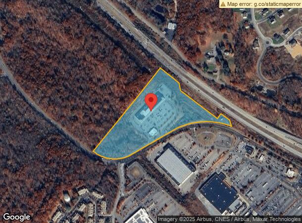
215 Larkin Dr, Monroe, NY 10950
NEARBY LISTINGS FOR SALE OR LEASE
Property Detail
215 Larkin Dr
New York-Jersey City-White Plains, NY-NJ
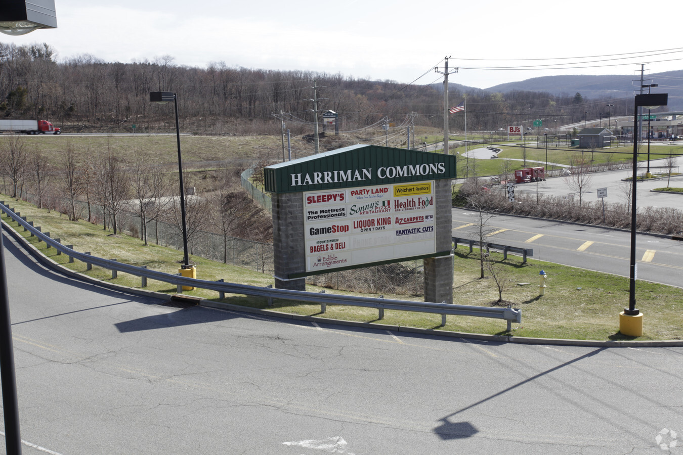
Harr Bus Pk
334089-002-000-0001-013.100-0000
LT 2 HARR BUS PK SUB MAP 176-99
Regionalshoppingcenterormallwithanchorstore
Orange
A
New York
36071C0484E
13.10
2024
15.80 AC
2023
Monroe
014102
Northern New Jersey
43,399 SF
DEMOGRAPHICS near 215 Larkin Dr
1 Mile
3 Mile
5 Mile
2024 Total Population
7,378
63,502
79,806
2029 Population
7,615
65,242
81,984
Pop Growth 2024-2029
+ 3.21%
+ 2.74%
+ 2.73%
Average Age
31
28
30
2024 Total Households
2,153
15,494
20,504
HH Growth 2024-2029
+ 2.88%
+ 2.83%
+ 2.82%
Median Household Inc
$91,883
$82,008
$90,205
Avg Household Size
3.50
3.90
3.70
2024 Avg HH Vehicles
2.00
1.00
2.00
Median Home Value
$387,499
$403,144
$398,575
Median Year Built
1986
1991
1987
Nearby Places
- Restaurants
- Banks
- Shops
- Fitness
- Groceries
PUBLIC TRANSPORTATION
COMMUTER RAIL
Harriman (Bergen County/Port Jervis Line - NJ Transit Commuter Rail (NJ Transit), Main/Port Jervis Line - NJ Transit Commuter Rail (NJ Transit))
DRIVE
WALK
Distance
Harriman (Bergen County/Port Jervis Line - NJ Transit Commuter Rail (NJ Transit), Main/Port Jervis Line - NJ Transit Commuter Rail (NJ Transit))
7 min
2.9 mi
AIRPORT
New York Stewart International
DRIVE
WALK
Distance
New York Stewart International
33 min
18.0 mi
Westchester County
DRIVE
WALK
Distance
Westchester County
61 min
45.3 mi
Freight Ports
Port Newark Container Terminal
DRIVE
WALK
Distance
Port Newark Container Terminal
74 min
53.2 mi
Nearby Properties
Address
Land Use
TOTAL SIZE
Lot Size
Zoning
Address
Land Use
TOTAL SIZE
Lot Size
Zoning
143.60 AC
LIO
Address
Land Use
TOTAL SIZE
Lot Size
Zoning
114.40 AC
Address
Land Use
TOTAL SIZE
Lot Size
Zoning
12 AC
Address
Land Use
TOTAL SIZE
Lot Size
Zoning
235,455 SF
51.70 AC
IB
Address
Land Use
TOTAL SIZE
Lot Size
Zoning
103,290 SF
41.22 AC
RR-1.0AC
Address
Land Use
TOTAL SIZE
Lot Size
Zoning
Address
Land Use
TOTAL SIZE
Lot Size
Zoning
125,636 SF
19.91 AC
SR-20
Address
Land Use
TOTAL SIZE
Lot Size
Zoning
Address
Land Use
TOTAL SIZE
Lot Size
Zoning
7.30 AC
LIO
Address
Land Use
TOTAL SIZE
Lot Size
Zoning
7.50 AC
RQTRA
Address
Land Use
TOTAL SIZE
Lot Size
Zoning
15.90 AC
Address
Land Use
TOTAL SIZE
Lot Size
Zoning
6.90 AC
Address
Land Use
TOTAL SIZE
Lot Size
Zoning
23,534 SF
6.60 AC
PD
Address
Land Use
TOTAL SIZE
Lot Size
Zoning
39,235 SF
6.40 AC
Address
Land Use
TOTAL SIZE
Lot Size
Zoning
Address
Land Use
TOTAL SIZE
Lot Size
Zoning
124,928 SF
12.14 AC
GB
Address
Land Use
TOTAL SIZE
Lot Size
Zoning
70,760 SF
17.20 AC
GB
Address
Land Use
TOTAL SIZE
Lot Size
Zoning
91,472 SF
6.42 AC
SR-10
Address
Land Use
TOTAL SIZE
Lot Size
Zoning
88,240 SF
3.02 AC
R-1
Address
Land Use
TOTAL SIZE
Lot Size
Zoning
113,910 SF
15 AC
PD
Address
Land Use
TOTAL SIZE
Lot Size
Zoning
159,857 SF
24.59 AC
LI
Address
Land Use
TOTAL SIZE
Lot Size
Zoning
Address
Land Use
TOTAL SIZE
Lot Size
Zoning
103,908 SF
7.40 AC
I
Address
Land Use
TOTAL SIZE
Lot Size
Zoning
92,868 SF
1.22 AC
PD
Address
Land Use
TOTAL SIZE
Lot Size
Zoning
Address
Land Use
TOTAL SIZE
Lot Size
Zoning
7.60 AC
Address
Land Use
TOTAL SIZE
Lot Size
Zoning
5.20 AC
IB
Address
Land Use
TOTAL SIZE
Lot Size
Zoning
88,855 SF
5 AC
PD
Address
Land Use
TOTAL SIZE
Lot Size
Zoning
Address
Land Use
TOTAL SIZE
Lot Size
Zoning
15,686 SF
4.60 AC
IB
The World's #1 Commercial Real Estate Marketplace
Connect with us
© 2025 CoStar Group
The information above has been obtained from sources believed reliable. While we do not doubt its accuracy we have not verified it and make no guarantee, warranty or representation about it. It is your responsibility to independently confirm its accuracy and completeness. Any projections, opinions, assumptions, or estimates used are for example only and do not represent the current or future performance of the property. The value of this transaction to you depends on tax and other factors which should be evaluated by your tax, financial, and legal advisors. You and your advisors should conduct a careful, independent investigation of the property to determine to your satisfaction the suitability of the property for your needs.