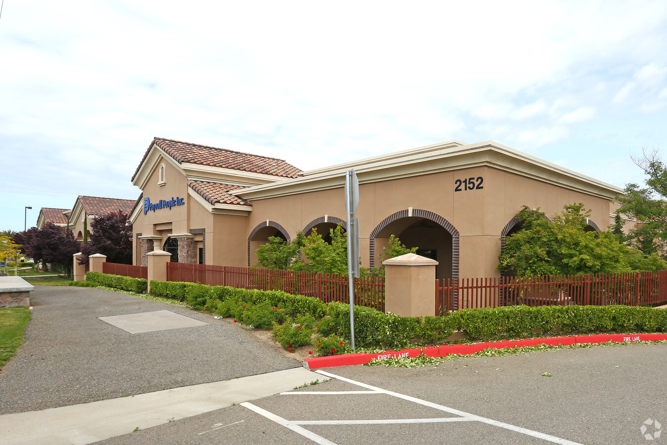
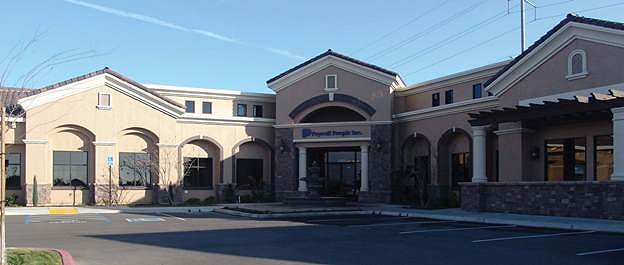
Property Record
2152 E Copper Ave, Fresno, CA 93730


NEARBY LISTINGS FOR SALE OR LEASE
Property Detail
2152 E Copper Ave
579-220-28S
Parcel Map No 2008 01
Officebuilding
3.57 AC SUR RT PAR C P/M #2008-01 BK 69 PGS 46-48
X
Fresno
06019C1040H
California
2023
3.53 AC
2023
E Outlying Fresno County
005503
Fresno
35,070 SF
Fresno, CA
DEMOGRAPHICS near 2152 E Copper Ave
1 Mile
3 Mile
5 Mile
2024 Total Population
10,734
50,536
119,653
2029 Population
11,126
51,899
122,984
Pop Growth 2024-2029
+ 3.65%
+ 2.70%
+ 2.78%
Average Age
38
39
40
2024 Total Households
3,594
18,414
44,095
HH Growth 2024-2029
+ 3.73%
+ 2.65%
+ 2.71%
Median Household Inc
$137,079
$122,752
$106,325
Avg Household Size
3.00
2.70
2.70
2024 Avg HH Vehicles
2.00
2.00
2.00
Median Home Value
$592,637
$477,016
$443,282
Median Year Built
2006
1997
1993
Nearby Places
- Restaurants
- Banks
- Shops
- Fitness
- Groceries
PUBLIC TRANSPORTATION
AIRPORT
Fresno Yosemite International
DRIVE
WALK
Distance
Fresno Yosemite International
19 min
11.0 mi
Freight Ports
Port of Stockton
DRIVE
WALK
Distance
Port of Stockton
159 min
130.3 mi
SALE & LEASE HISTORY
LISTING DATE
SALE/LEASE

Sep 25, 2016
For Lease
Nearby Properties
Address
Land Use
TOTAL SIZE
Lot Size
Zoning
Address
Land Use
TOTAL SIZE
Lot Size
Zoning
119,869 SF
11.08 AC
C1
Address
Land Use
TOTAL SIZE
Lot Size
Zoning
188,177 SF
5.58 AC
CP
Address
Land Use
TOTAL SIZE
Lot Size
Zoning
212,354 SF
13.12 AC
R2
Address
Land Use
TOTAL SIZE
Lot Size
Zoning
200,826 SF
19.23 AC
R2
Address
Land Use
TOTAL SIZE
Lot Size
Zoning
152,550 SF
9.23 AC
R3
Address
Land Use
TOTAL SIZE
Lot Size
Zoning
77,858 SF
4.23 AC
CP
Address
Land Use
TOTAL SIZE
Lot Size
Zoning
98,128 SF
5.55 AC
O
Address
Land Use
TOTAL SIZE
Lot Size
Zoning
50,025 SF
40.36 AC
AE20
Address
Land Use
TOTAL SIZE
Lot Size
Zoning
120,570 SF
6.22 AC
R2
Address
Land Use
TOTAL SIZE
Lot Size
Zoning
109,957 SF
6.76 AC
R2
Address
Land Use
TOTAL SIZE
Lot Size
Zoning
67,940 SF
1.09 AC
SPLIT
Address
Land Use
TOTAL SIZE
Lot Size
Zoning
38,184 SF
4.29 AC
O
Address
Land Use
TOTAL SIZE
Lot Size
Zoning
73,391 SF
4.72 AC
SPLIT
Address
Land Use
TOTAL SIZE
Lot Size
Zoning
50,610 SF
4.41 AC
C2
Address
Land Use
TOTAL SIZE
Lot Size
Zoning
128,940 SF
34 AC
AL20
Address
Land Use
TOTAL SIZE
Lot Size
Zoning
1,526 SF
7.51 AC
R1C
Address
Land Use
TOTAL SIZE
Lot Size
Zoning
31,500 SF
2.35 AC
CP
Address
Land Use
TOTAL SIZE
Lot Size
Zoning
39,603 SF
5.44 AC
R1
Address
Land Use
TOTAL SIZE
Lot Size
Zoning
17,453 SF
1.94 AC
C2
Address
Land Use
TOTAL SIZE
Lot Size
Zoning
29,265 SF
3.05 AC
C2
Address
Land Use
TOTAL SIZE
Lot Size
Zoning
37,974 SF
2.27 AC
AE5
Address
Land Use
TOTAL SIZE
Lot Size
Zoning
2,835 SF
57.03 AC
ARV-20
Address
Land Use
TOTAL SIZE
Lot Size
Zoning
22,400 SF
2.12 AC
C2
Address
Land Use
TOTAL SIZE
Lot Size
Zoning
3.14 AC
RS4
Address
Land Use
TOTAL SIZE
Lot Size
Zoning
57,550 SF
0.01 AC
C1
Address
Land Use
TOTAL SIZE
Lot Size
Zoning
25,985 SF
119.22 AC
AE20
Address
Land Use
TOTAL SIZE
Lot Size
Zoning
17.59 AC
CP
Address
Land Use
TOTAL SIZE
Lot Size
Zoning
233,246 SF
18.93 AC
CM
Address
Land Use
TOTAL SIZE
Lot Size
Zoning
46,319 SF
4.11 AC
C2
The World's #1 Commercial Real Estate Marketplace
Connect with us
© 2025 CoStar Group
The information above has been obtained from sources believed reliable. While we do not doubt its accuracy we have not verified it and make no guarantee, warranty or representation about it. It is your responsibility to independently confirm its accuracy and completeness. Any projections, opinions, assumptions, or estimates used are for example only and do not represent the current or future performance of the property. The value of this transaction to you depends on tax and other factors which should be evaluated by your tax, financial, and legal advisors. You and your advisors should conduct a careful, independent investigation of the property to determine to your satisfaction the suitability of the property for your needs.