Property Record
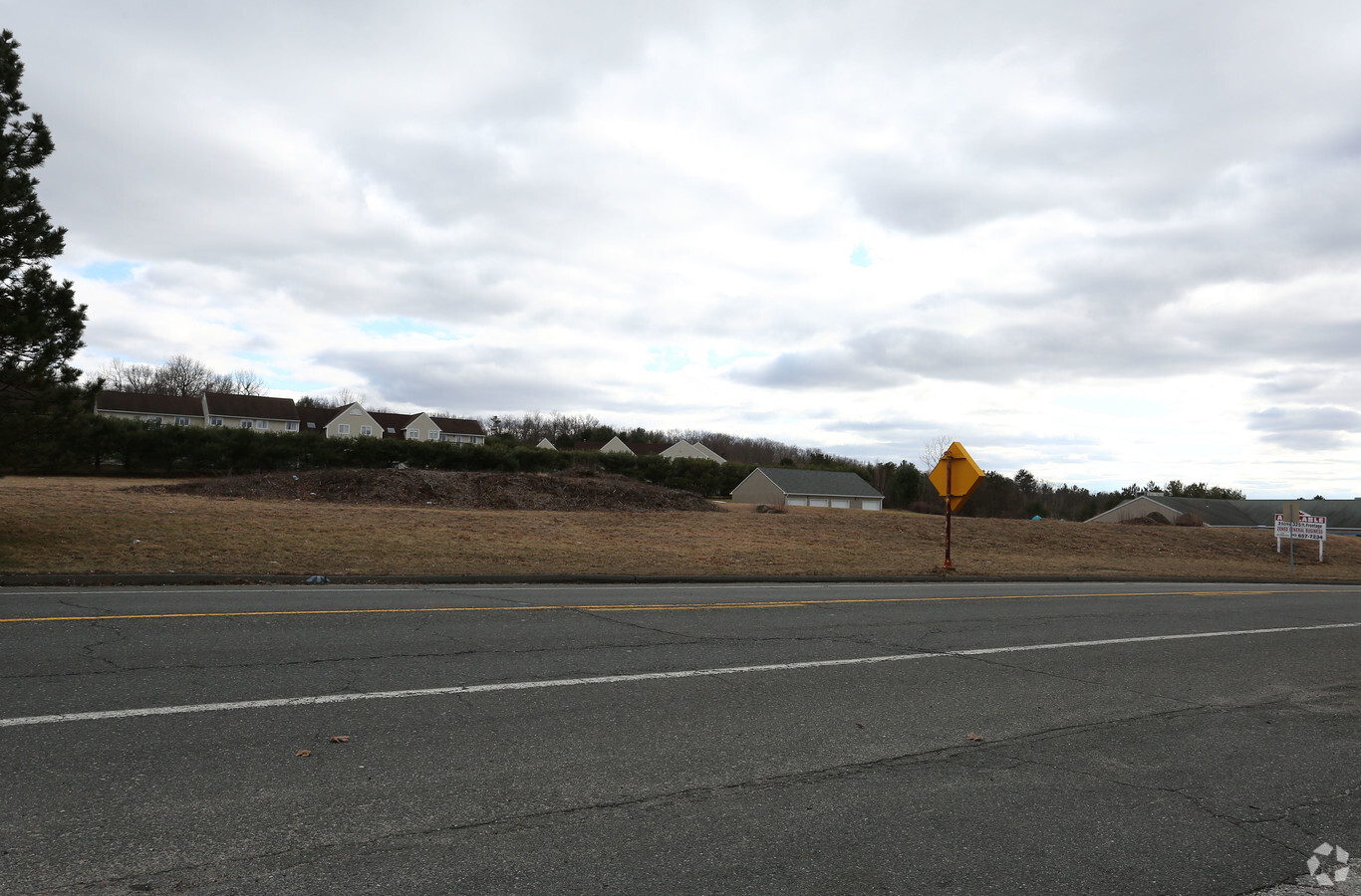
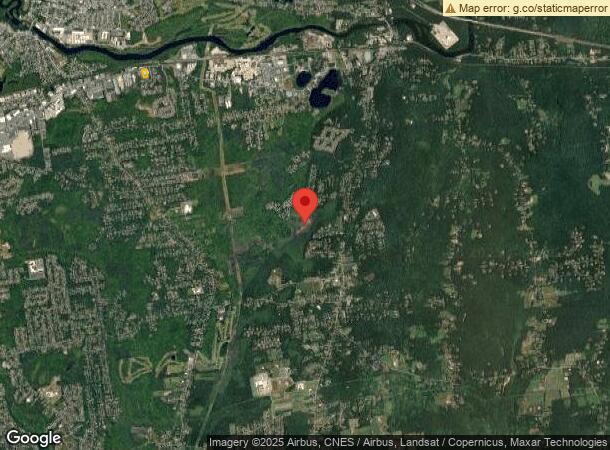
2155 Boston Rd, Wilbraham, MA 01095
NEARBY LISTINGS FOR SALE OR LEASE
Property Detail
2155 Boston Rd
WILB-001150-000088-000377
Hampden
Commercialbuilding
Massachusetts
X
377
25013C0240E
2.81 AC
2025
Hampden County
2025
Hartford
813601
Springfield, MA
88,560 SF
DEMOGRAPHICS near 2155 Boston Rd
1 Mile
3 Mile
5 Mile
2024 Total Population
6,520
47,104
93,207
2029 Population
6,434
46,425
91,883
Pop Growth 2024-2029
(1.32%)
(1.44%)
(1.42%)
Average Age
44
42
42
2024 Total Households
2,858
18,974
36,059
HH Growth 2024-2029
(1.40%)
(1.51%)
(1.49%)
Median Household Inc
$69,851
$67,000
$70,605
Avg Household Size
2.30
2.40
2.50
2024 Avg HH Vehicles
2.00
2.00
2.00
Median Home Value
$275,636
$258,467
$252,724
Median Year Built
1957
1962
1961
Nearby Places
- Restaurants
- Banks
- Shops
- Fitness
- Groceries
PUBLIC TRANSPORTATION
COMMUTER RAIL
Springfield (Amtrak Hartford Line - Hartford Line, Hartford Line - Hartford Line, Lake Shore Limited - Hartford Line, Northeast Regional - Hartford Line, Valley Flyer - Hartford Line, Vermonter - Hartford Line)
DRIVE
WALK
Distance
Springfield (Amtrak Hartford Line - Hartford Line, Hartford Line - Hartford Line, Lake Shore Limited - Hartford Line, Northeast Regional - Hartford Line, Valley Flyer - Hartford Line, Vermonter - Hartford Line)
18 min
9.9 mi
AIRPORT
Bradley International
DRIVE
WALK
Distance
Bradley International
48 min
25.1 mi
Freight Ports
Port of New Haven
DRIVE
WALK
Distance
Port of New Haven
99 min
73.3 mi
SALE & LEASE HISTORY
LISTING DATE
SALE/LEASE

Aug 09, 2019
For Lease
Aug 09, 2019
For Sale
Nearby Properties
Address
Land Use
TOTAL SIZE
Lot Size
Zoning
Address
Land Use
TOTAL SIZE
Lot Size
Zoning
89,312 SF
38.72 AC
R1
Address
Land Use
TOTAL SIZE
Lot Size
Zoning
248,182 SF
46.27 AC
R34
Address
Land Use
TOTAL SIZE
Lot Size
Zoning
102,932 SF
60.01 AC
R6
Address
Land Use
TOTAL SIZE
Lot Size
Zoning
94,076 SF
63.12 AC
Address
Land Use
TOTAL SIZE
Lot Size
Zoning
71,911 SF
9.19 AC
Address
Land Use
TOTAL SIZE
Lot Size
Zoning
28.31 AC
Address
Land Use
TOTAL SIZE
Lot Size
Zoning
79.26 AC
R-2
Address
Land Use
TOTAL SIZE
Lot Size
Zoning
15.31 AC
GB
Address
Land Use
TOTAL SIZE
Lot Size
Zoning
10,439 SF
79.80 AC
Address
Land Use
TOTAL SIZE
Lot Size
Zoning
3,534 SF
38.61 AC
R-3
Address
Land Use
TOTAL SIZE
Lot Size
Zoning
34.44 AC
I
Address
Land Use
TOTAL SIZE
Lot Size
Zoning
139,292 SF
12.54 AC
SB1I2
Address
Land Use
TOTAL SIZE
Lot Size
Zoning
116,670 SF
13 AC
GB
Address
Land Use
TOTAL SIZE
Lot Size
Zoning
1,292 SF
8.92 AC
B1
Address
Land Use
TOTAL SIZE
Lot Size
Zoning
54,396 SF
13.50 AC
R34
Address
Land Use
TOTAL SIZE
Lot Size
Zoning
34,104 SF
8 AC
R4
Address
Land Use
TOTAL SIZE
Lot Size
Zoning
77,200 SF
10.63 AC
I
Address
Land Use
TOTAL SIZE
Lot Size
Zoning
72,793 SF
1.50 AC
Address
Land Use
TOTAL SIZE
Lot Size
Zoning
32,603 SF
11.42 AC
R34
Address
Land Use
TOTAL SIZE
Lot Size
Zoning
14,371 SF
1.42 AC
GB
Address
Land Use
TOTAL SIZE
Lot Size
Zoning
25,860 SF
8.18 AC
R-2
Address
Land Use
TOTAL SIZE
Lot Size
Zoning
10,946 SF
170.18 AC
R34
Address
Land Use
TOTAL SIZE
Lot Size
Zoning
17,692 SF
4.35 AC
Address
Land Use
TOTAL SIZE
Lot Size
Zoning
67,851 SF
24.30 AC
R26
Address
Land Use
TOTAL SIZE
Lot Size
Zoning
26,712 SF
6.18 AC
GB
Address
Land Use
TOTAL SIZE
Lot Size
Zoning
26,796 SF
14.84 AC
GB
Address
Land Use
TOTAL SIZE
Lot Size
Zoning
48,895 SF
40 AC
R-2
Address
Land Use
TOTAL SIZE
Lot Size
Zoning
62,702 SF
3.99 AC
SB1I2
Address
Land Use
TOTAL SIZE
Lot Size
Zoning
55.51 AC
I
The World's #1 Commercial Real Estate Marketplace
Connect with us
© 2025 CoStar Group
The information above has been obtained from sources believed reliable. While we do not doubt its accuracy we have not verified it and make no guarantee, warranty or representation about it. It is your responsibility to independently confirm its accuracy and completeness. Any projections, opinions, assumptions, or estimates used are for example only and do not represent the current or future performance of the property. The value of this transaction to you depends on tax and other factors which should be evaluated by your tax, financial, and legal advisors. You and your advisors should conduct a careful, independent investigation of the property to determine to your satisfaction the suitability of the property for your needs.