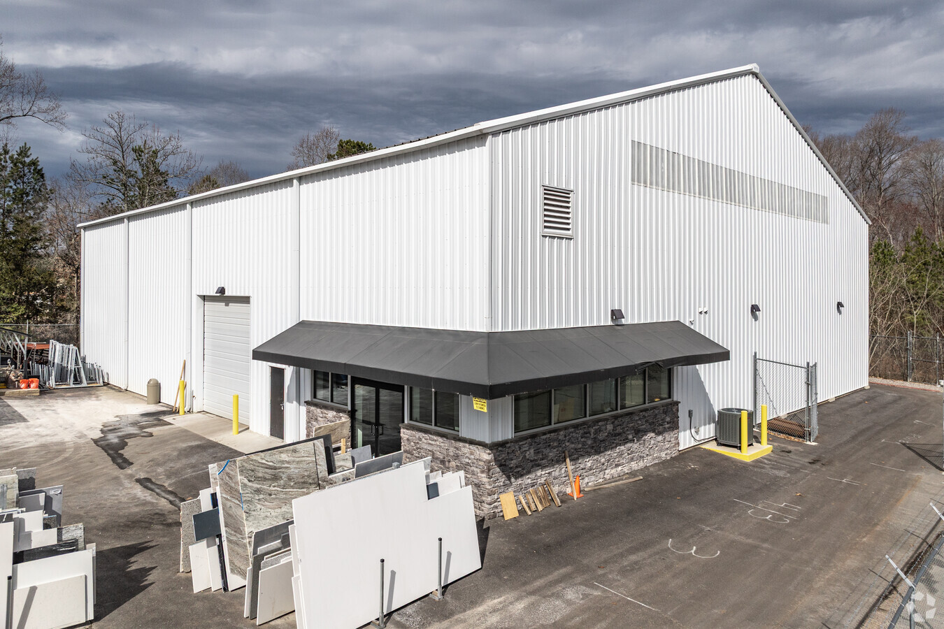
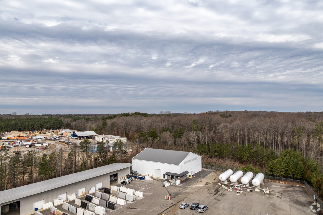
Property Record
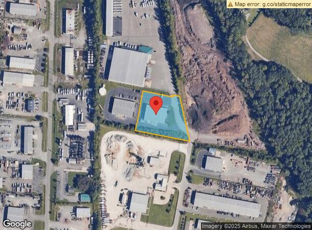
2194 Lanier Ln, Rockville, VA 23146
NEARBY LISTINGS FOR SALE OR LEASE
-
-
View all Rockville listings for lease on LoopNet.com
Property Detail
2194 Lanier Ln
48-10-B3
N CENTERVILLE 1.61AC LOT 1 OUT OF 48-10-B #16-2803 PCE 46
Multipleuses
Goochland
X
Virginia
51075C0233C
1
2024
1.61 AC
2024
Goochland
400100
Richmond VA
11,970 SF
Richmond, VA
DEMOGRAPHICS near 2194 Lanier Ln
1 Mile
3 Mile
5 Mile
2024 Total Population
129
12,213
52,103
2029 Population
142
12,591
53,319
Pop Growth 2024-2029
+ 10.08%
+ 3.10%
+ 2.33%
Average Age
48
41
40
2024 Total Households
53
4,541
18,678
HH Growth 2024-2029
+ 9.43%
+ 3.46%
+ 2.75%
Median Household Inc
$121,874
$154,806
$150,356
Avg Household Size
2.40
2.70
2.80
2024 Avg HH Vehicles
3.00
2.00
2.00
Median Home Value
$565,789
$627,726
$595,915
Median Year Built
1987
2000
2000
Nearby Places
- Restaurants
- Banks
- Shops
- Fitness
- Groceries
PUBLIC TRANSPORTATION
AIRPORT
Richmond International
DRIVE
WALK
Distance
Richmond International
40 min
27.6 mi
Freight Ports
Virginia Port Authority - Richmond
DRIVE
WALK
Distance
Virginia Port Authority - Richmond
37 min
25.9 mi
SALE & LEASE HISTORY
LISTING DATE
SALE/LEASE

Apr 18, 2023
For Lease
Nearby Properties
Address
Land Use
TOTAL SIZE
Lot Size
Zoning
Address
Land Use
TOTAL SIZE
Lot Size
Zoning
112,224 SF
20.53 AC
MIXE
Address
Land Use
TOTAL SIZE
Lot Size
Zoning
309,156 SF
17.13 AC
R-6
Address
Land Use
TOTAL SIZE
Lot Size
Zoning
1,886 SF
241 AC
A-1
Address
Land Use
TOTAL SIZE
Lot Size
Zoning
74,305 SF
6.05 AC
M1-INDUS/L
Address
Land Use
TOTAL SIZE
Lot Size
Zoning
78,400 SF
29.68 AC
A-1
Address
Land Use
TOTAL SIZE
Lot Size
Zoning
49,576 SF
20.96 AC
MIXE
Address
Land Use
TOTAL SIZE
Lot Size
Zoning
2,850 SF
73.02 AC
B1A2-BS AN
Address
Land Use
TOTAL SIZE
Lot Size
Zoning
78,340 SF
13.21 AC
B-3C
Address
Land Use
TOTAL SIZE
Lot Size
Zoning
65,600 SF
13.16 AC
B1-BUS/GEN
Address
Land Use
TOTAL SIZE
Lot Size
Zoning
74,221 SF
19.28 AC
MIXE
Address
Land Use
TOTAL SIZE
Lot Size
Zoning
107.96 AC
A2-AG/LTD
Address
Land Use
TOTAL SIZE
Lot Size
Zoning
108,223 SF
3.38 AC
B1-BUS/GEN
Address
Land Use
TOTAL SIZE
Lot Size
Zoning
965 SF
136.97 AC
A2-AG/LTD
Address
Land Use
TOTAL SIZE
Lot Size
Zoning
50,531 SF
7.02 AC
B1-BUS/GEN
Address
Land Use
TOTAL SIZE
Lot Size
Zoning
3,600 SF
199.10 AC
M2-INDUS/G
Address
Land Use
TOTAL SIZE
Lot Size
Zoning
3,784 SF
227.92 AC
B1A2-BS AN
Address
Land Use
TOTAL SIZE
Lot Size
Zoning
28.74 AC
B1A2-BS AN
Address
Land Use
TOTAL SIZE
Lot Size
Zoning
77 AC
B1A2-BS AN
Address
Land Use
TOTAL SIZE
Lot Size
Zoning
996 SF
124.04 AC
M2-INDUS/G
Address
Land Use
TOTAL SIZE
Lot Size
Zoning
7.37 AC
B1-BUS/GEN
Address
Land Use
TOTAL SIZE
Lot Size
Zoning
94.26 AC
M2-INDUS/G
Address
Land Use
TOTAL SIZE
Lot Size
Zoning
110.56 AC
B1A2-BS AN
Address
Land Use
TOTAL SIZE
Lot Size
Zoning
19.43 AC
B1-BUS/GEN
Address
Land Use
TOTAL SIZE
Lot Size
Zoning
45,296 SF
9.04 AC
M2-INDUS/G
Address
Land Use
TOTAL SIZE
Lot Size
Zoning
10.01 AC
M2-INDUS/G
Address
Land Use
TOTAL SIZE
Lot Size
Zoning
12.11 AC
B1-BUS/GEN
Address
Land Use
TOTAL SIZE
Lot Size
Zoning
31,000 SF
205.22 AC
MIXE
Address
Land Use
TOTAL SIZE
Lot Size
Zoning
4,819 SF
64 AC
A-1
Address
Land Use
TOTAL SIZE
Lot Size
Zoning
1,562 SF
2.70 AC
BN-BUS/NHD
Address
Land Use
TOTAL SIZE
Lot Size
Zoning
54 AC
M2-INDUS/G
The World's #1 Commercial Real Estate Marketplace
Connect with us
© 2025 CoStar Group
The information above has been obtained from sources believed reliable. While we do not doubt its accuracy we have not verified it and make no guarantee, warranty or representation about it. It is your responsibility to independently confirm its accuracy and completeness. Any projections, opinions, assumptions, or estimates used are for example only and do not represent the current or future performance of the property. The value of this transaction to you depends on tax and other factors which should be evaluated by your tax, financial, and legal advisors. You and your advisors should conduct a careful, independent investigation of the property to determine to your satisfaction the suitability of the property for your needs.