Property Record
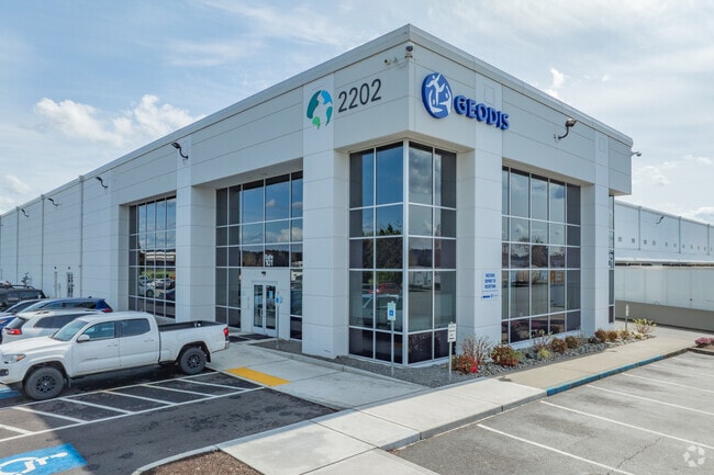
2202 Perimeter Rd, Auburn, WA 98001


Property Detail
2202 Perimeter Rd
242104-9090
LOT 8 OF AUBURN LLA #LLA-05-0017 REC #2005121300228 SD LOT 8 BEING LOCATED IN POR OF S 3/4 OF SEC 24-21-4 LY ELY OF FORMER CMSTP & PRR R/W & LY WLY OF C STREET W
Warehouse
King
M2
Washington
B and X Area of moderate flood hazard, usually the area between the limits of the 100-year and 500-year floods.
8
2025
39.82 AC
2024
Auburn
030801
Seattle/Puget Sound
749,967 SF
Seattle-Tacoma-Bellevue, WA
NEARBY LISTINGS FOR SALE OR LEASE
DEMOGRAPHICS near 2202 Perimeter Rd
1 mile
3 mile
5 mile
2025 Total Population
7,928
79,074
193,703
2030 Population
8,174
81,666
200,491
Pop Growth 2025-2030
+ 3.10%
+ 3.28%
+ 3.50%
Average Age
37
39
39
2025 Total Households
2,712
27,789
68,132
HH Growth 2025-2030
+ 3.06%
+ 3.25%
+ 3.47%
Median Household Inc
$80,330
$90,465
$93,798
Avg Household Size
2.80
2.70
2.70
2025 Avg HH Vehicles
2.00
2.00
2.00
Median Home Value
$401,174
$506,385
$572,079
Median Year Built
1979
1984
1987
Nearby Places
Map Layers
Map Styles
 Street
 Aerial
Layers
 Traffic
 Biking
Places
Listings with unknown addresses are not visible on the map
- Restaurants
- Banks
- Shops
- Fitness
- Groceries
PUBLIC TRANSPORTATION
AIRPORT
Seattle-Tacoma International
Drive
Walk
Distance
Seattle-Tacoma International
30 min
15.3 mi
Freight Ports
Port of Tacoma
Drive
Walk
Distance
Port of Tacoma
23 min
13.8 mi
Nearby Properties
Address
Land Use
TOTAL SIZE
Lot Size
Zoning
Address
Land Use
TOTAL SIZE
Lot Size
Zoning
524,636 SF
102.29 AC
M2
Address
Land Use
TOTAL SIZE
Lot Size
Zoning
369,280 SF
31.30 AC
M1
Address
Land Use
TOTAL SIZE
Lot Size
Zoning
662,963 SF
29.75 AC
M2
Address
Land Use
TOTAL SIZE
Lot Size
Zoning
63,950 SF
127.86 AC
C3
Address
Land Use
TOTAL SIZE
Lot Size
Zoning
217,000 SF
19.99 AC
R20
Address
Land Use
TOTAL SIZE
Lot Size
Zoning
923,143 SF
90.42 AC
C3
Address
Land Use
TOTAL SIZE
Lot Size
Zoning
334,593 SF
19.39 AC
RM2400
Address
Land Use
TOTAL SIZE
Lot Size
Zoning
501,104 SF
21.73 AC
Address
Land Use
TOTAL SIZE
Lot Size
Zoning
471,032 SF
48.12 AC
CP-1
Address
Land Use
TOTAL SIZE
Lot Size
Zoning
245,393 SF
2.48 AC
DUC
Address
Land Use
TOTAL SIZE
Lot Size
Zoning
441,316 SF
20.26 AC
Address
Land Use
TOTAL SIZE
Lot Size
Zoning
288,600 SF
21.93 AC
M2
Address
Land Use
TOTAL SIZE
Lot Size
Zoning
476,362 SF
26.61 AC
Address
Land Use
TOTAL SIZE
Lot Size
Zoning
215,619 SF
21.57 AC
TV
Address
Land Use
TOTAL SIZE
Lot Size
Zoning
287,945 SF
11.12 AC
M-1
Address
Land Use
TOTAL SIZE
Lot Size
Zoning
204,727 SF
18.63 AC
TV
Address
Land Use
TOTAL SIZE
Lot Size
Zoning
286,350 SF
13.84 AC
M1
Address
Land Use
TOTAL SIZE
Lot Size
Zoning
278,038 SF
12.91 AC
M-1
Address
Land Use
TOTAL SIZE
Lot Size
Zoning
270,739 SF
12.21 AC
M-1
Address
Land Use
TOTAL SIZE
Lot Size
Zoning
160,432 SF
4.70 AC
C1
Address
Land Use
TOTAL SIZE
Lot Size
Zoning
333,180 SF
18.13 AC
Address
Land Use
TOTAL SIZE
Lot Size
Zoning
258,308 SF
10.55 AC
M2
Address
Land Use
TOTAL SIZE
Lot Size
Zoning
68,040 SF
14.68 AC
M1
Address
Land Use
TOTAL SIZE
Lot Size
Zoning
205,443 SF
11.41 AC
M2
Address
Land Use
TOTAL SIZE
Lot Size
Zoning
16.85 AC
CP-1
Address
Land Use
TOTAL SIZE
Lot Size
Zoning
292,072 SF
12.76 AC
Address
Land Use
TOTAL SIZE
Lot Size
Zoning
218,316 SF
8.69 AC
M-1
The World's #1 Commercial Real Estate Marketplace
Connect with us
© 2026 CoStar Group
The information above has been obtained from sources believed reliable. While we do not doubt its accuracy we have not verified it and make no guarantee, warranty or representation about it. It is your responsibility to independently confirm its accuracy and completeness. Any projections, opinions, assumptions, or estimates used are for example only and do not represent the current or future performance of the property. The value of this transaction to you depends on tax and other factors which should be evaluated by your tax, financial, and legal advisors. You and your advisors should conduct a careful, independent investigation of the property to determine to your satisfaction the suitability of the property for your needs.