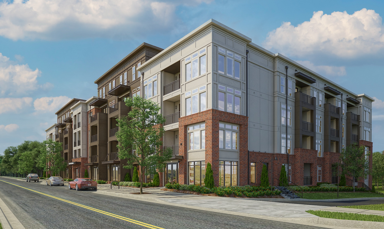
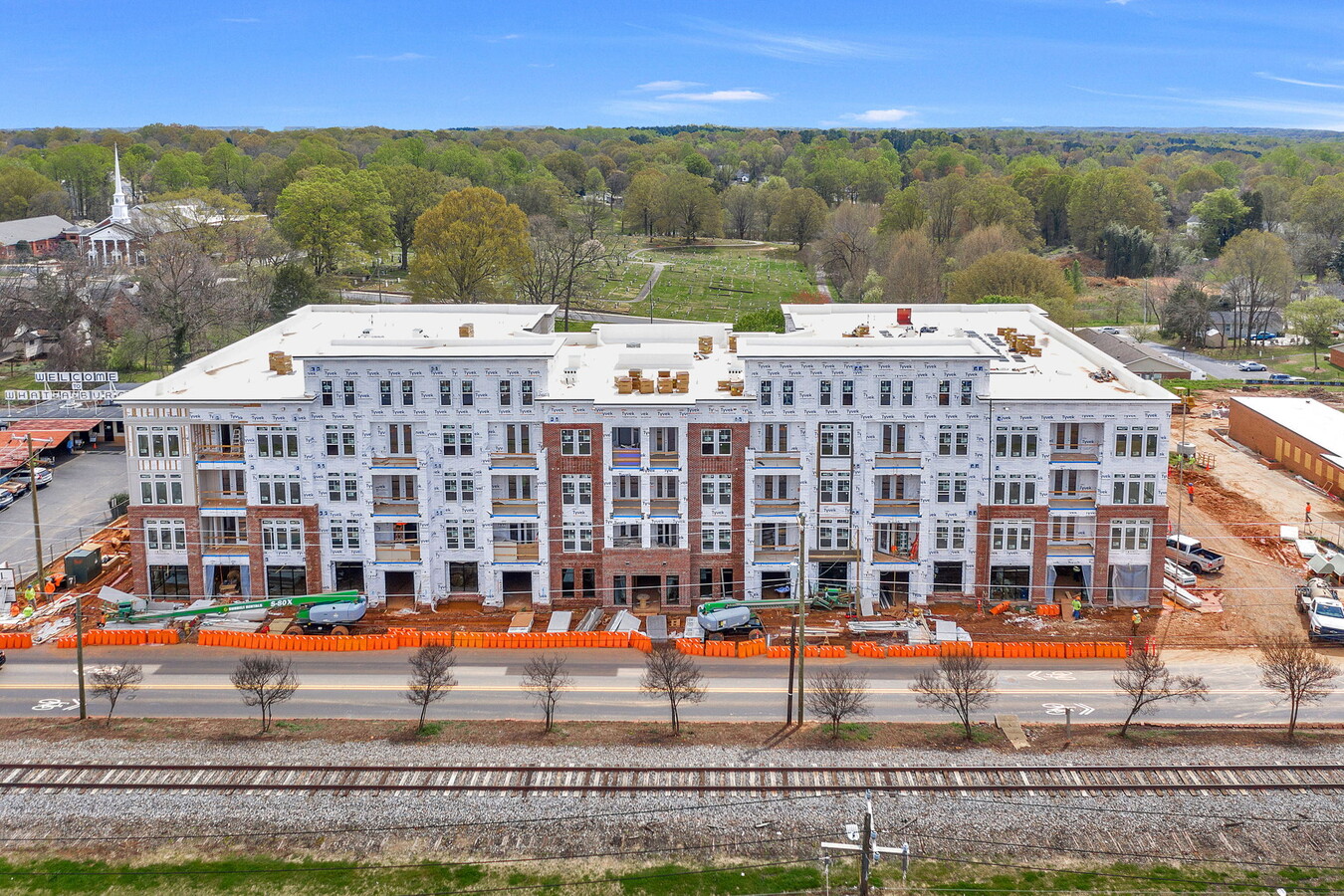
Property Record
222 S Main St, Mooresville, NC 28115
NEARBY LISTINGS FOR SALE OR LEASE
Property Detail
222 S Main St
Charlotte
Iredell
Charlotte-Concord-Gastonia, NC-SC
North Carolina
4667-01-5201.000
2.11 AC
Gardenaptcourtapt5plusunits
Iredell County
83,612 SF
DEMOGRAPHICS near 222 S Main St
1 Mile
3 Mile
5 Mile
2024 Total Population
7,113
41,073
74,951
2029 Population
7,986
46,386
84,808
Pop Growth 2024-2029
+ 12.27%
+ 12.94%
+ 13.15%
Average Age
38
38
39
2024 Total Households
2,843
16,058
29,059
HH Growth 2024-2029
+ 12.17%
+ 12.85%
+ 13.09%
Median Household Inc
$50,773
$71,657
$83,060
Avg Household Size
2.40
2.50
2.50
2024 Avg HH Vehicles
2.00
2.00
2.00
Median Home Value
$220,532
$255,494
$293,024
Median Year Built
1978
1999
2001
Nearby Places
- Restaurants
- Banks
- Shops
- Fitness
- Groceries
PUBLIC TRANSPORTATION
AIRPORT
Concord-Padgett Regional
DRIVE
WALK
Distance
Concord-Padgett Regional
31 min
17.4 mi
Charlotte/Douglas International
DRIVE
WALK
Distance
Charlotte/Douglas International
47 min
33.0 mi
Freight Ports
Port of Wilmington
DRIVE
WALK
Distance
Port of Wilmington
280 min
224.0 mi
SALE & LEASE HISTORY
LISTING DATE
SALE/LEASE

Sep 07, 2022
For Lease
Nearby Properties
Address
Land Use
TOTAL SIZE
Lot Size
Zoning
Address
Land Use
TOTAL SIZE
Lot Size
Zoning
55,473 SF
28.69 AC
CM
Address
Land Use
TOTAL SIZE
Lot Size
Zoning
8,620 SF
31.12 AC
TN
Address
Land Use
TOTAL SIZE
Lot Size
Zoning
26,946 SF
19.86 AC
TN
Address
Land Use
TOTAL SIZE
Lot Size
Zoning
27,545 SF
20.02 AC
TN
Address
Land Use
TOTAL SIZE
Lot Size
Zoning
8,328 SF
38.14 AC
IN
Address
Land Use
TOTAL SIZE
Lot Size
Zoning
350,216 SF
10.25 AC
RLI
Address
Land Use
TOTAL SIZE
Lot Size
Zoning
7,632 SF
26 AC
TN
Address
Land Use
TOTAL SIZE
Lot Size
Zoning
6,375 SF
25.90 AC
RG
Address
Land Use
TOTAL SIZE
Lot Size
Zoning
129,131 SF
73.02 AC
RLS
Address
Land Use
TOTAL SIZE
Lot Size
Zoning
145,000 SF
42.41 AC
RLS
Address
Land Use
TOTAL SIZE
Lot Size
Zoning
10,424 SF
15.90 AC
TN
Address
Land Use
TOTAL SIZE
Lot Size
Zoning
36,376 SF
2.27 AC
TD
Address
Land Use
TOTAL SIZE
Lot Size
Zoning
14,877 SF
13.57 AC
CM
Address
Land Use
TOTAL SIZE
Lot Size
Zoning
499,300 SF
38.56 AC
HLI
Address
Land Use
TOTAL SIZE
Lot Size
Zoning
13,740 SF
15 AC
CC
Address
Land Use
TOTAL SIZE
Lot Size
Zoning
109,459 SF
57.60 AC
RLS
Address
Land Use
TOTAL SIZE
Lot Size
Zoning
27,766 SF
15.31 AC
RG
Address
Land Use
TOTAL SIZE
Lot Size
Zoning
110,000 SF
32.22 AC
RLS
Address
Land Use
TOTAL SIZE
Lot Size
Zoning
159,468 SF
16.61 AC
CC
Address
Land Use
TOTAL SIZE
Lot Size
Zoning
87,626 SF
22.38 AC
R3
Address
Land Use
TOTAL SIZE
Lot Size
Zoning
248,283 SF
16.56 AC
IN
Address
Land Use
TOTAL SIZE
Lot Size
Zoning
245,767 SF
20.42 AC
CC
Address
Land Use
TOTAL SIZE
Lot Size
Zoning
290,852 SF
28.73 AC
TD
Address
Land Use
TOTAL SIZE
Lot Size
Zoning
49,553 SF
5.94 AC
CC
Address
Land Use
TOTAL SIZE
Lot Size
Zoning
13,895 SF
8.26 AC
TN
Address
Land Use
TOTAL SIZE
Lot Size
Zoning
34,851 SF
7.43 AC
CC
Address
Land Use
TOTAL SIZE
Lot Size
Zoning
86,542 SF
2.90 AC
CM
Address
Land Use
TOTAL SIZE
Lot Size
Zoning
148,557 SF
18.67 AC
HLI
Address
Land Use
TOTAL SIZE
Lot Size
Zoning
114,650 SF
14.03 AC
CC
Address
Land Use
TOTAL SIZE
Lot Size
Zoning
67,543 SF
7.16 AC
CC
The World's #1 Commercial Real Estate Marketplace
Connect with us
© 2025 CoStar Group
The information above has been obtained from sources believed reliable. While we do not doubt its accuracy we have not verified it and make no guarantee, warranty or representation about it. It is your responsibility to independently confirm its accuracy and completeness. Any projections, opinions, assumptions, or estimates used are for example only and do not represent the current or future performance of the property. The value of this transaction to you depends on tax and other factors which should be evaluated by your tax, financial, and legal advisors. You and your advisors should conduct a careful, independent investigation of the property to determine to your satisfaction the suitability of the property for your needs.