Property Record
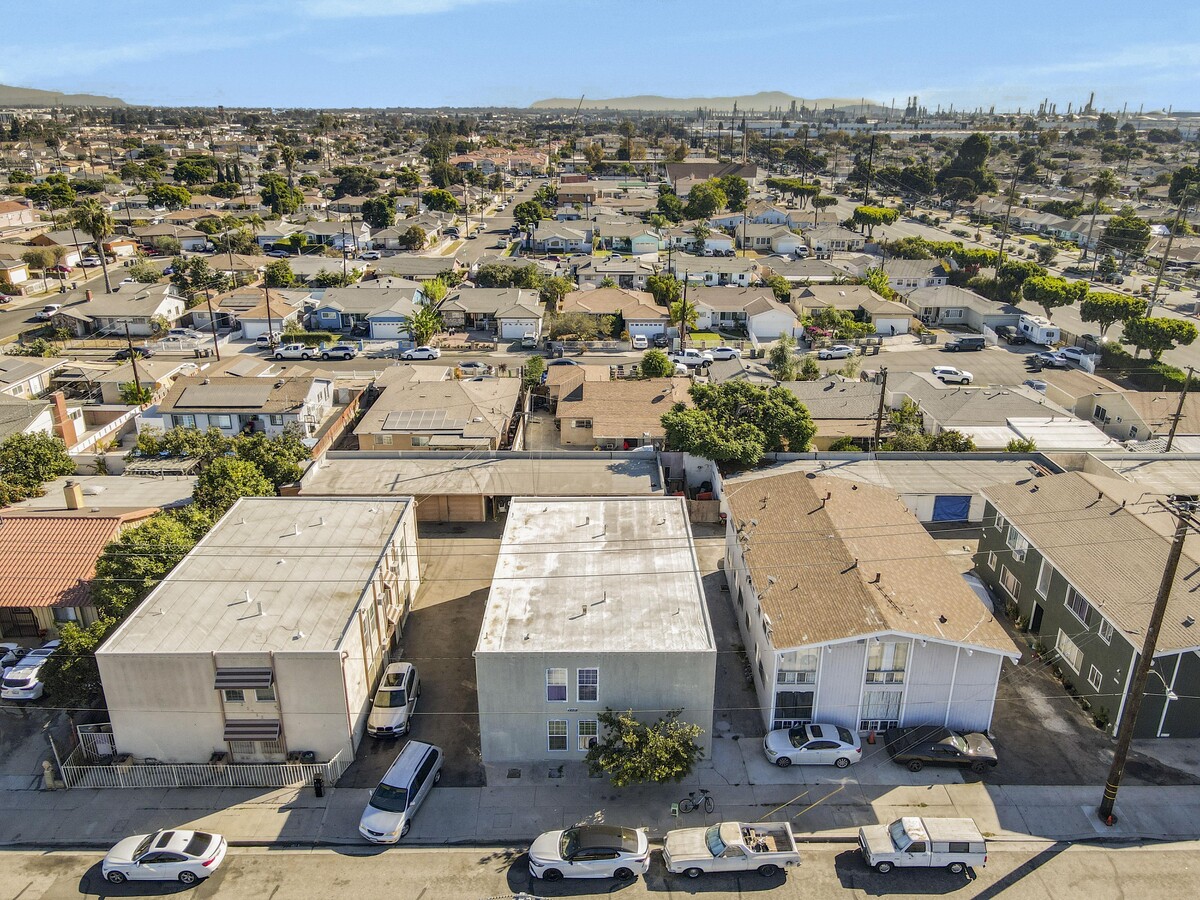
22218 Dolores St, Carson, CA 90745


NEARBY LISTINGS FOR SALE OR LEASE
Property Detail
22218 Dolores St
Los Angeles-Long Beach-Glendale, CA
19817
7335-020-028
TRACT # 19817 LOT/SEC 46
Quadruplex
Los Angeles
X
California
06037C1935F
46
2024
0.12 AC
2024
Carson
543804
Los Angeles
3,850 SF
DEMOGRAPHICS near 22218 Dolores St
1 Mile
3 Mile
5 Mile
2024 Total Population
39,770
187,397
457,232
2029 Population
38,657
180,995
441,742
Pop Growth 2024-2029
(2.80%)
(3.42%)
(3.39%)
Average Age
43
41
41
2024 Total Households
10,938
56,440
147,289
HH Growth 2024-2029
(3.04%)
(3.73%)
(3.67%)
Median Household Inc
$92,981
$83,793
$81,356
Avg Household Size
3.30
3.10
2.90
2024 Avg HH Vehicles
2.00
2.00
2.00
Median Home Value
$640,036
$677,910
$701,445
Median Year Built
1966
1964
1964
Nearby Places
- Restaurants
- Banks
- Shops
- Fitness
- Groceries
PUBLIC TRANSPORTATION
AIRPORT
Long Beach (Daugherty Field)
DRIVE
WALK
Distance
Long Beach (Daugherty Field)
12 min
7.0 mi
Los Angeles International
DRIVE
WALK
Distance
Los Angeles International
22 min
15.2 mi
John Wayne/Orange County
DRIVE
WALK
Distance
John Wayne/Orange County
34 min
27.3 mi
Freight Ports
Port of Los Angeles
DRIVE
WALK
Distance
Port of Los Angeles
19 min
10.5 mi
Nearby Properties
Address
Land Use
TOTAL SIZE
Lot Size
Zoning
Address
Land Use
TOTAL SIZE
Lot Size
Zoning
671,091 SF
18 AC
LAC1
Address
Land Use
TOTAL SIZE
Lot Size
Zoning
997,143 SF
98.35 AC
TOMI-BP
Address
Land Use
TOTAL SIZE
Lot Size
Zoning
236,582 SF
425.41 AC
CAMH*
Address
Land Use
TOTAL SIZE
Lot Size
Zoning
64,456 SF
11.71 AC
CASP-10*
Address
Land Use
TOTAL SIZE
Lot Size
Zoning
422,640 SF
LAM3
Address
Land Use
TOTAL SIZE
Lot Size
Zoning
506,189 SF
20.33 AC
LAM2
Address
Land Use
TOTAL SIZE
Lot Size
Zoning
286,186 SF
8.20 AC
LAMR1
Address
Land Use
TOTAL SIZE
Lot Size
Zoning
3,585,714 SF
67.34 AC
LAM3
Address
Land Use
TOTAL SIZE
Lot Size
Zoning
108,891 SF
224.14 AC
CAMH*
Address
Land Use
TOTAL SIZE
Lot Size
Zoning
409,522 SF
11.41 AC
LAM3
Address
Land Use
TOTAL SIZE
Lot Size
Zoning
246,981 SF
11.95 AC
LARD2
Address
Land Use
TOTAL SIZE
Lot Size
Zoning
84,365 SF
7.62 AC
LARAS3
Address
Land Use
TOTAL SIZE
Lot Size
Zoning
260,766 SF
10.70 AC
LAM3
Address
Land Use
TOTAL SIZE
Lot Size
Zoning
429,141 SF
3.29 AC
LCM1*
Address
Land Use
TOTAL SIZE
Lot Size
Zoning
282,280 SF
Address
Land Use
TOTAL SIZE
Lot Size
Zoning
670,305 SF
28.08 AC
TOMI-BP
Address
Land Use
TOTAL SIZE
Lot Size
Zoning
1,800 SF
124.45 AC
CAMH*
Address
Land Use
TOTAL SIZE
Lot Size
Zoning
135,666 SF
LAM3
Address
Land Use
TOTAL SIZE
Lot Size
Zoning
365,701 SF
2.45 AC
TOMI-BP
Address
Land Use
TOTAL SIZE
Lot Size
Zoning
14.80 AC
CAMH*
Address
Land Use
TOTAL SIZE
Lot Size
Zoning
499,562 SF
6.50 AC
LAM3
Address
Land Use
TOTAL SIZE
Lot Size
Zoning
125,849 SF
6.08 AC
LAM2
Address
Land Use
TOTAL SIZE
Lot Size
Zoning
10.30 AC
TOM2*
Address
Land Use
TOTAL SIZE
Lot Size
Zoning
178,323 SF
12.23 AC
CACR&D&MUR
Address
Land Use
TOTAL SIZE
Lot Size
Zoning
546,606 SF
17.58 AC
LAM3
Address
Land Use
TOTAL SIZE
Lot Size
Zoning
1,005,037 SF
23.98 AC
TOMI-LT
Address
Land Use
TOTAL SIZE
Lot Size
Zoning
184,300 SF
8.14 AC
LAM3
Address
Land Use
TOTAL SIZE
Lot Size
Zoning
536,092 SF
3.79 AC
LAM3
Address
Land Use
TOTAL SIZE
Lot Size
Zoning
533,879 SF
10.02 AC
LAM2
Address
Land Use
TOTAL SIZE
Lot Size
Zoning
496,472 SF
21.57 AC
CAMH*
The World's #1 Commercial Real Estate Marketplace
Connect with us
© 2025 CoStar Group
The information above has been obtained from sources believed reliable. While we do not doubt its accuracy we have not verified it and make no guarantee, warranty or representation about it. It is your responsibility to independently confirm its accuracy and completeness. Any projections, opinions, assumptions, or estimates used are for example only and do not represent the current or future performance of the property. The value of this transaction to you depends on tax and other factors which should be evaluated by your tax, financial, and legal advisors. You and your advisors should conduct a careful, independent investigation of the property to determine to your satisfaction the suitability of the property for your needs.