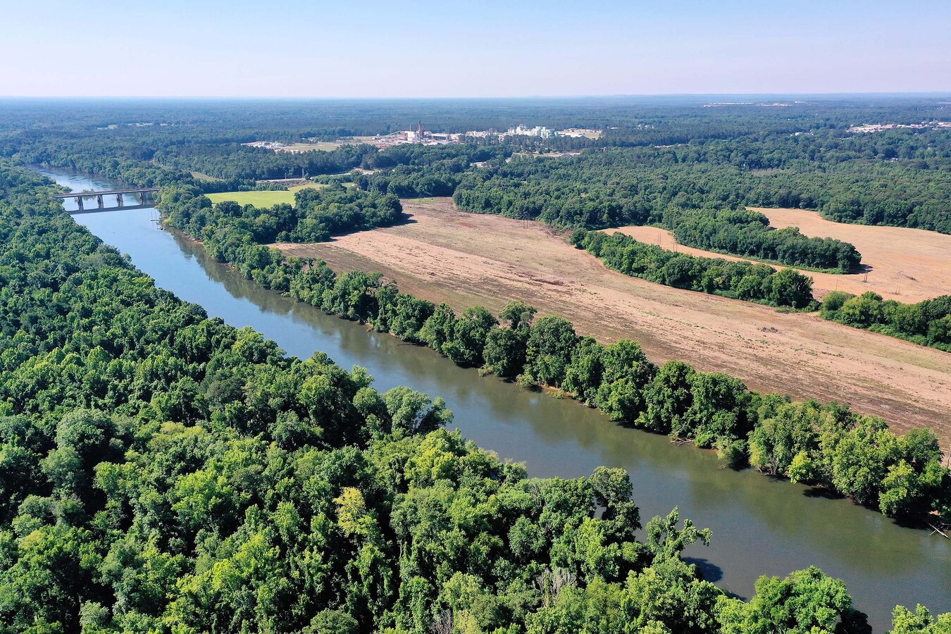
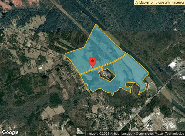
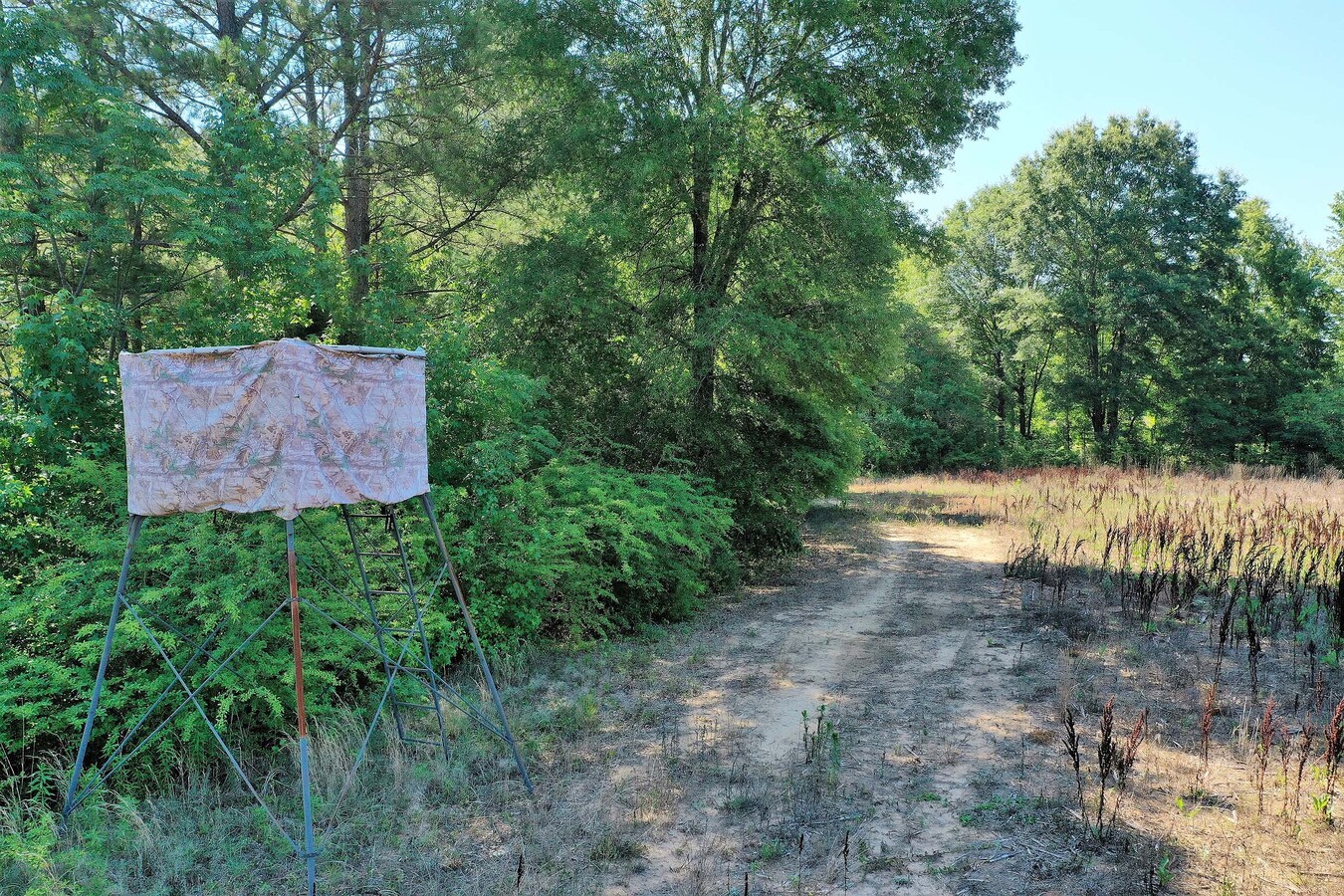
Property Record
224 Longtown Rd, Lugoff, SC 29078
NEARBY LISTINGS FOR SALE OR LEASE
-
-
View all Lugoff listings for sale on LoopNet.com
Property Detail
224 Longtown Rd
283-00-00-001
IN-2223
Farms
Kershaw
AE
South Carolina
45055C0318F
509.18 AC
2024
Kershaw County
2024
Columbia
970905
Columbia, SC
DEMOGRAPHICS near 224 Longtown Rd
1 Mile
3 Mile
5 Mile
2024 Total Population
1,090
7,712
21,521
2029 Population
1,173
8,357
23,458
Pop Growth 2024-2029
+ 7.61%
+ 8.36%
+ 9.00%
Average Age
39
40
42
2024 Total Households
463
3,047
8,700
HH Growth 2024-2029
+ 7.34%
+ 8.20%
+ 8.87%
Median Household Inc
$30,833
$40,486
$44,858
Avg Household Size
2.30
2.50
2.40
2024 Avg HH Vehicles
2.00
2.00
2.00
Median Home Value
$152,366
$161,879
$183,223
Median Year Built
1984
1988
1985
Nearby Places
- Restaurants
- Banks
- Shops
- Fitness
- Groceries
PUBLIC TRANSPORTATION
COMMUTER RAIL
Camden Amtrak Station (Silver Star - Amtrak)
DRIVE
WALK
Distance
Camden Amtrak Station (Silver Star - Amtrak)
9 min
4.0 mi
Freight Ports
North Charleston Terminal
DRIVE
WALK
Distance
North Charleston Terminal
153 min
130.0 mi
SALE & LEASE HISTORY
LISTING DATE
SALE/LEASE

Sep 10, 2021
For Sale
Nearby Properties
Address
Land Use
TOTAL SIZE
Lot Size
Zoning
Address
Land Use
TOTAL SIZE
Lot Size
Zoning
183,825 SF
20.09 AC
MUNICIPAL
Address
Land Use
TOTAL SIZE
Lot Size
Zoning
20.27 AC
I1
Address
Land Use
TOTAL SIZE
Lot Size
Zoning
24.23 AC
I1
Address
Land Use
TOTAL SIZE
Lot Size
Zoning
116,508 SF
14.91 AC
MUNICIPAL
Address
Land Use
TOTAL SIZE
Lot Size
Zoning
117,844 SF
12.21 AC
MUNICIPAL
Address
Land Use
TOTAL SIZE
Lot Size
Zoning
37,794 SF
28.77 AC
GD
Address
Land Use
TOTAL SIZE
Lot Size
Zoning
60,023 SF
5.70 AC
B2
Address
Land Use
TOTAL SIZE
Lot Size
Zoning
71,157 SF
7.19 AC
MUNICIPAL
Address
Land Use
TOTAL SIZE
Lot Size
Zoning
72,502 SF
12 AC
GD
Address
Land Use
TOTAL SIZE
Lot Size
Zoning
37,872 SF
6.53 AC
B2
Address
Land Use
TOTAL SIZE
Lot Size
Zoning
41,160 SF
3.37 AC
Address
Land Use
TOTAL SIZE
Lot Size
Zoning
20.23 AC
MUNICIPAL
Address
Land Use
TOTAL SIZE
Lot Size
Zoning
82,125 SF
8.42 AC
GD
Address
Land Use
TOTAL SIZE
Lot Size
Zoning
22,076 SF
3.53 AC
MUNICIPAL
Address
Land Use
TOTAL SIZE
Lot Size
Zoning
8,804 SF
0.73 AC
Address
Land Use
TOTAL SIZE
Lot Size
Zoning
31,087 SF
9.63 AC
GD
Address
Land Use
TOTAL SIZE
Lot Size
Zoning
3.93 AC
B2
Address
Land Use
TOTAL SIZE
Lot Size
Zoning
87,548 SF
10 AC
GD
Address
Land Use
TOTAL SIZE
Lot Size
Zoning
64,714 SF
5.93 AC
B2
Address
Land Use
TOTAL SIZE
Lot Size
Zoning
20,359 SF
5.39 AC
RD2
Address
Land Use
TOTAL SIZE
Lot Size
Zoning
35,700 SF
2.03 AC
B2
Address
Land Use
TOTAL SIZE
Lot Size
Zoning
25,953 SF
5.63 AC
B2
Address
Land Use
TOTAL SIZE
Lot Size
Zoning
10,726 SF
1.50 AC
MUNICIPAL
Address
Land Use
TOTAL SIZE
Lot Size
Zoning
15,040 SF
2.52 AC
B2
Address
Land Use
TOTAL SIZE
Lot Size
Zoning
31,700 SF
17.76 AC
GD
Address
Land Use
TOTAL SIZE
Lot Size
Zoning
14,556 SF
4.05 AC
GD
Address
Land Use
TOTAL SIZE
Lot Size
Zoning
61,212 SF
18.36 AC
GD
Address
Land Use
TOTAL SIZE
Lot Size
Zoning
5,726 SF
1.61 AC
Address
Land Use
TOTAL SIZE
Lot Size
Zoning
4,863 SF
0.99 AC
MUNICIPAL
Address
Land Use
TOTAL SIZE
Lot Size
Zoning
40,100 SF
5.19 AC
B2
The World's #1 Commercial Real Estate Marketplace
Connect with us
© 2025 CoStar Group
The information above has been obtained from sources believed reliable. While we do not doubt its accuracy we have not verified it and make no guarantee, warranty or representation about it. It is your responsibility to independently confirm its accuracy and completeness. Any projections, opinions, assumptions, or estimates used are for example only and do not represent the current or future performance of the property. The value of this transaction to you depends on tax and other factors which should be evaluated by your tax, financial, and legal advisors. You and your advisors should conduct a careful, independent investigation of the property to determine to your satisfaction the suitability of the property for your needs.