Property Record
2240 E Imperial Hwy, El Segundo, CA 90245

NEARBY LISTINGS FOR SALE OR LEASE
Property Detail
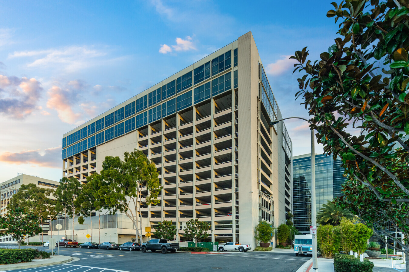
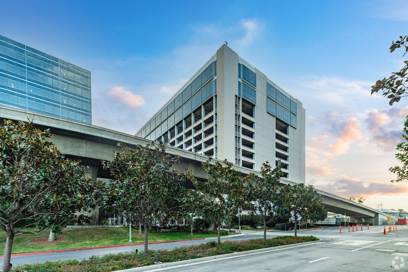
2240 E Imperial Hwy
4138-004-018
Rancho Sausal Redondo
Officebuilding
*LOT COM AT INTERSECTION OF S LINE OF IMPERIAL HWY WITH W LINE OF DOUGLAS ST TH S ON SD W LINE 463 FT TH S 89 47 W 599.21 FT TH N 0 11 W TO SD S LINE TH E THEREON TO BEG POR OF NE 1/4 OF BK 24 P 89 OF P M
X
Los Angeles
06037C1767G
California
2024
6.34 AC
2024
El Segundo
980013
Los Angeles
1,410,144 SF
Los Angeles-Long Beach-Glendale, CA
DEMOGRAPHICS near 2240 E Imperial Hwy
1 Mile
3 Mile
5 Mile
2024 Total Population
5,322
204,508
574,077
2029 Population
5,163
198,204
557,636
Pop Growth 2024-2029
(2.99%)
(3.08%)
(2.86%)
Average Age
39
38
40
2024 Total Households
2,126
70,737
212,831
HH Growth 2024-2029
(3.20%)
(3.21%)
(3.03%)
Median Household Inc
$136,936
$81,749
$89,150
Avg Household Size
2.50
2.80
2.60
2024 Avg HH Vehicles
2.00
2.00
2.00
Median Home Value
$1,054,922
$956,109
$908,723
Median Year Built
1970
1961
1963
Nearby Places
- Restaurants
- Banks
- Shops
- Fitness
- Groceries
PUBLIC TRANSPORTATION
TRANSIT/SUBWAY
Aviation Station (Green Line - Los Angeles County Metropolitan Transportation Authority (Metro))
DRIVE
WALK
Distance
Aviation Station (Green Line - Los Angeles County Metropolitan Transportation Authority (Metro))
1 min
10 min
0.5 mi
Mariposa/Nash Station (Green Line - Los Angeles County Metropolitan Transportation Authority (Metro))
DRIVE
WALK
Distance
Mariposa/Nash Station (Green Line - Los Angeles County Metropolitan Transportation Authority (Metro))
2 min
12 min
0.7 mi
AIRPORT
Los Angeles International
DRIVE
WALK
Distance
Los Angeles International
7 min
2.9 mi
Long Beach (Daugherty Field)
DRIVE
WALK
Distance
Long Beach (Daugherty Field)
24 min
17.5 mi
Bob Hope
DRIVE
WALK
Distance
Bob Hope
39 min
28.5 mi
Freight Ports
Port of Los Angeles
DRIVE
WALK
Distance
Port of Los Angeles
31 min
20.7 mi
Nearby Properties
Address
Land Use
TOTAL SIZE
Lot Size
Zoning
Address
Land Use
TOTAL SIZE
Lot Size
Zoning
1,807,845 SF
7.28 AC
ESC3
Address
Land Use
TOTAL SIZE
Lot Size
Zoning
584,746 SF
20.38 AC
MNIP
Address
Land Use
TOTAL SIZE
Lot Size
Zoning
Address
Land Use
TOTAL SIZE
Lot Size
Zoning
Address
Land Use
TOTAL SIZE
Lot Size
Zoning
Address
Land Use
TOTAL SIZE
Lot Size
Zoning
Address
Land Use
TOTAL SIZE
Lot Size
Zoning
1,315,931 SF
3.36 AC
ESC3
Address
Land Use
TOTAL SIZE
Lot Size
Zoning
565,264 SF
5.95 AC
Address
Land Use
TOTAL SIZE
Lot Size
Zoning
337,106 SF
9.56 AC
ESCM*
Address
Land Use
TOTAL SIZE
Lot Size
Zoning
724,715 SF
5.76 AC
INCR*
Address
Land Use
TOTAL SIZE
Lot Size
Zoning
522,511 SF
4.91 AC
LARAS4
Address
Land Use
TOTAL SIZE
Lot Size
Zoning
329,810 SF
2.21 AC
LAC2
Address
Land Use
TOTAL SIZE
Lot Size
Zoning
944,791 SF
22.53 AC
ESCM*
Address
Land Use
TOTAL SIZE
Lot Size
Zoning
652,774 SF
3.60 AC
LAC2
Address
Land Use
TOTAL SIZE
Lot Size
Zoning
421,934 SF
8.24 AC
ESCM
Address
Land Use
TOTAL SIZE
Lot Size
Zoning
459,058 SF
8.84 AC
ESC3*
Address
Land Use
TOTAL SIZE
Lot Size
Zoning
632,476 SF
10.56 AC
LAC2
Address
Land Use
TOTAL SIZE
Lot Size
Zoning
784,680 SF
18.28 AC
LAM1
Address
Land Use
TOTAL SIZE
Lot Size
Zoning
284,937 SF
3 AC
LARAS4
Address
Land Use
TOTAL SIZE
Lot Size
Zoning
718,086 SF
41.24 AC
RBI-1A
Address
Land Use
TOTAL SIZE
Lot Size
Zoning
418,131 SF
3.03 AC
LCC1
Address
Land Use
TOTAL SIZE
Lot Size
Zoning
793,455 SF
31.88 AC
ESM2*
Address
Land Use
TOTAL SIZE
Lot Size
Zoning
848,217 SF
36.09 AC
RBI-1A
Address
Land Use
TOTAL SIZE
Lot Size
Zoning
189,244 SF
3.64 AC
ESCM*
Address
Land Use
TOTAL SIZE
Lot Size
Zoning
307,559 SF
5.96 AC
ESC3
Address
Land Use
TOTAL SIZE
Lot Size
Zoning
319,589 SF
5.13 AC
MNPD
Address
Land Use
TOTAL SIZE
Lot Size
Zoning
859,786 SF
4.82 AC
LAC2
Address
Land Use
TOTAL SIZE
Lot Size
Zoning
876,121 SF
9.03 AC
ESC3
The World's #1 Commercial Real Estate Marketplace
Connect with us
© 2025 CoStar Group
The information above has been obtained from sources believed reliable. While we do not doubt its accuracy we have not verified it and make no guarantee, warranty or representation about it. It is your responsibility to independently confirm its accuracy and completeness. Any projections, opinions, assumptions, or estimates used are for example only and do not represent the current or future performance of the property. The value of this transaction to you depends on tax and other factors which should be evaluated by your tax, financial, and legal advisors. You and your advisors should conduct a careful, independent investigation of the property to determine to your satisfaction the suitability of the property for your needs.