Property Record
2260 State Highway 29A, Gloversville, NY 12078

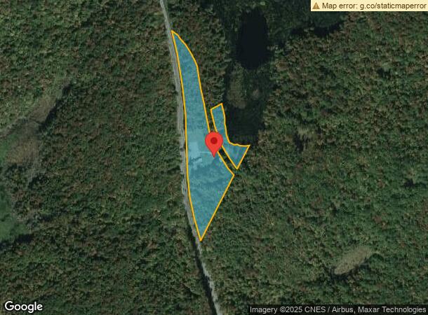

This Property Is For Sale
NEARBY LISTINGS FOR SALE OR LEASE
-
-
View all Gloversville listings for sale on LoopNet.com
Property Detail
2260 State Highway 29A
Gloversville, NY
Fulton
172800-116-000-0002-020-000-0000
New York
Commercialofficeresidentialmixeduse
20.000
2024
6 AC
2023
Fulton County
971000
Albany/Schenectady/Troy
2,344 SF
DEMOGRAPHICS near 2260 State Highway 29A
1 Mile
3 Mile
5 Mile
2024 Total Population
97
1,242
13,130
2029 Population
102
1,252
12,812
Pop Growth 2024-2029
+ 5.15%
+ 0.81%
(2.42%)
Average Age
43
47
42
2024 Total Households
44
555
5,648
HH Growth 2024-2029
+ 4.55%
+ 0.90%
(2.39%)
Median Household Inc
$86,607
$80,783
$48,928
Avg Household Size
2.20
2.20
2.20
2024 Avg HH Vehicles
2.00
2.00
2.00
Median Home Value
$139,583
$146,748
$114,892
Median Year Built
1972
1963
1948
Nearby Places
- Restaurants
- Banks
- Shops
- Fitness
- Groceries
Nearby Properties
Address
Land Use
TOTAL SIZE
Lot Size
Zoning
Address
Land Use
TOTAL SIZE
Lot Size
Zoning
53,323 SF
91.80 AC
R1
Address
Land Use
TOTAL SIZE
Lot Size
Zoning
1,119.90 AC
R1
Address
Land Use
TOTAL SIZE
Lot Size
Zoning
25,348 SF
3.60 AC
R2
Address
Land Use
TOTAL SIZE
Lot Size
Zoning
1 AC
RA
Address
Land Use
TOTAL SIZE
Lot Size
Zoning
1,092 SF
328.69 AC
RA
Address
Land Use
TOTAL SIZE
Lot Size
Zoning
8,500 SF
21.10 AC
R2
Address
Land Use
TOTAL SIZE
Lot Size
Zoning
1,697 SF
8.40 AC
01 - NOT Z
Address
Land Use
TOTAL SIZE
Lot Size
Zoning
2,400 SF
2.62 AC
R2
Address
Land Use
TOTAL SIZE
Lot Size
Zoning
2,800 SF
1.70 AC
R2
Address
Land Use
TOTAL SIZE
Lot Size
Zoning
494.10 AC
01 - NOT Z
Address
Land Use
TOTAL SIZE
Lot Size
Zoning
1.20 AC
01 - NOT Z
Address
Land Use
TOTAL SIZE
Lot Size
Zoning
329 AC
R2
Address
Land Use
TOTAL SIZE
Lot Size
Zoning
4,182 SF
1.52 AC
R2
Address
Land Use
TOTAL SIZE
Lot Size
Zoning
20.60 AC
R2
Address
Land Use
TOTAL SIZE
Lot Size
Zoning
1,080 SF
10.10 AC
01 - NOT Z
Address
Land Use
TOTAL SIZE
Lot Size
Zoning
237.70 AC
RA
Address
Land Use
TOTAL SIZE
Lot Size
Zoning
0.89 AC
01 - NOT Z
Address
Land Use
TOTAL SIZE
Lot Size
Zoning
7,100 SF
4.20 AC
R2
Address
Land Use
TOTAL SIZE
Lot Size
Zoning
227 AC
R2
Address
Land Use
TOTAL SIZE
Lot Size
Zoning
0.47 AC
01 - NOT Z
Address
Land Use
TOTAL SIZE
Lot Size
Zoning
200 AC
RA
Address
Land Use
TOTAL SIZE
Lot Size
Zoning
0.72 AC
01 - NOT Z
Address
Land Use
TOTAL SIZE
Lot Size
Zoning
191 AC
RA
Address
Land Use
TOTAL SIZE
Lot Size
Zoning
8.70 AC
RA
Address
Land Use
TOTAL SIZE
Lot Size
Zoning
672 SF
5.90 AC
RA
Address
Land Use
TOTAL SIZE
Lot Size
Zoning
172.30 AC
RA
Address
Land Use
TOTAL SIZE
Lot Size
Zoning
142.30 AC
RA
Address
Land Use
TOTAL SIZE
Lot Size
Zoning
101.98 AC
WF
Address
Land Use
TOTAL SIZE
Lot Size
Zoning
134.37 AC
RA
The World's #1 Commercial Real Estate Marketplace
Connect with us
© 2025 CoStar Group
The information above has been obtained from sources believed reliable. While we do not doubt its accuracy we have not verified it and make no guarantee, warranty or representation about it. It is your responsibility to independently confirm its accuracy and completeness. Any projections, opinions, assumptions, or estimates used are for example only and do not represent the current or future performance of the property. The value of this transaction to you depends on tax and other factors which should be evaluated by your tax, financial, and legal advisors. You and your advisors should conduct a careful, independent investigation of the property to determine to your satisfaction the suitability of the property for your needs.