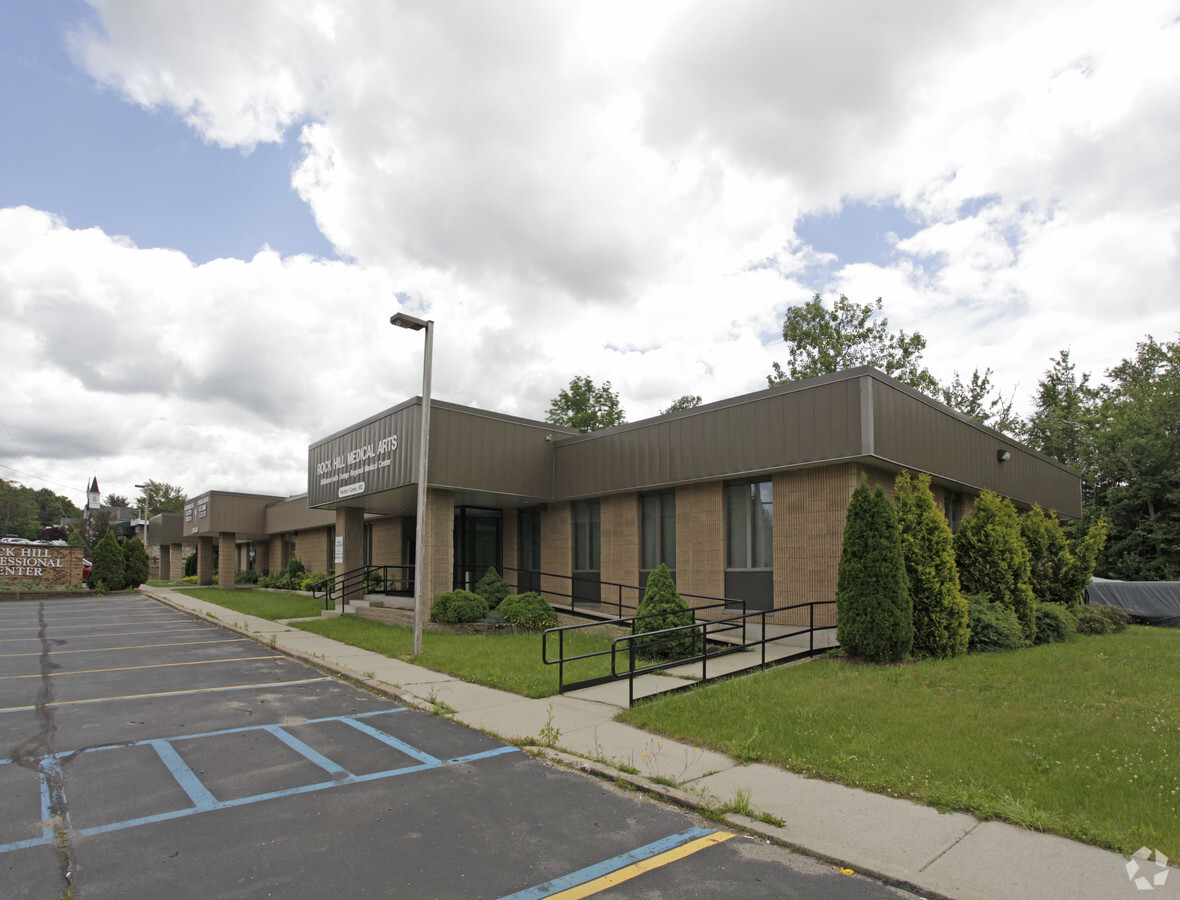
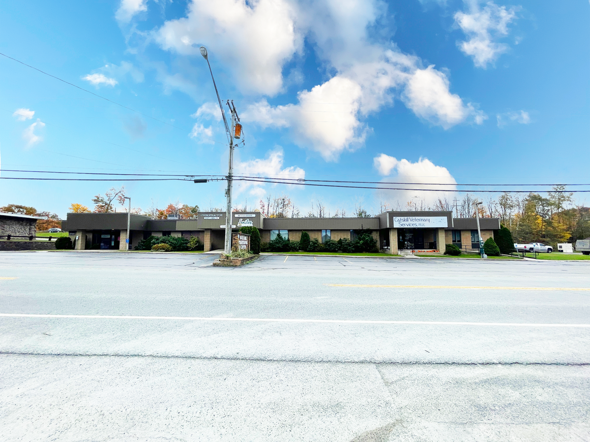
Property Record
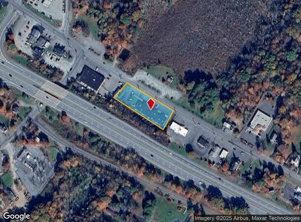
230 Rock Hill Dr, Rock Hill, NY 12775

NEARBY LISTINGS FOR SALE OR LEASE
Property Detail
230 Rock Hill Dr
Medicalclinic
Sullivan
X
New York
36105C0626F
10.001
2024
0.93 AC
2023
Hudson Valley Area
951701
Other Market Areas
8,492 SF
4689-051-0-0002-010-001
DEMOGRAPHICS near 230 Rock Hill Dr
1 Mile
3 Mile
5 Mile
2024 Total Population
819
3,937
9,996
2029 Population
862
4,121
10,450
Pop Growth 2024-2029
+ 5.25%
+ 4.67%
+ 4.54%
Average Age
43
45
42
2024 Total Households
324
1,610
3,982
HH Growth 2024-2029
+ 5.25%
+ 4.84%
+ 4.75%
Median Household Inc
$81,908
$80,000
$74,266
Avg Household Size
2.40
2.40
2.40
2024 Avg HH Vehicles
2.00
2.00
2.00
Median Home Value
$277,214
$270,943
$243,409
Median Year Built
1978
1975
1973
Nearby Places
- Restaurants
- Banks
- Shops
- Fitness
- Groceries
PUBLIC TRANSPORTATION
AIRPORT
New York Stewart International
DRIVE
WALK
Distance
New York Stewart International
47 min
33.1 mi
Freight Ports
Port Newark Container Terminal
DRIVE
WALK
Distance
Port Newark Container Terminal
115 min
90.1 mi
SALE & LEASE HISTORY
LISTING DATE
SALE/LEASE

Nov 11, 2021
For Sale
May 01, 2019
For Sale
Mar 02, 2020
For Sale
Feb 04, 2020
For Sale
Nearby Properties
Address
Land Use
TOTAL SIZE
Lot Size
Zoning
Address
Land Use
TOTAL SIZE
Lot Size
Zoning
80,736 SF
15.74 AC
PBP
Address
Land Use
TOTAL SIZE
Lot Size
Zoning
194,704 SF
30.90 AC
HC1
Address
Land Use
TOTAL SIZE
Lot Size
Zoning
Address
Land Use
TOTAL SIZE
Lot Size
Zoning
600 SF
14.92 AC
SR
Address
Land Use
TOTAL SIZE
Lot Size
Zoning
31,704 SF
98.90 AC
RR1
Address
Land Use
TOTAL SIZE
Lot Size
Zoning
5,627 SF
10.05 AC
SR
Address
Land Use
TOTAL SIZE
Lot Size
Zoning
29,320 SF
9.31 AC
HC2
Address
Land Use
TOTAL SIZE
Lot Size
Zoning
2,400 SF
1,079.65 AC
E
Address
Land Use
TOTAL SIZE
Lot Size
Zoning
2,244 SF
141.85 AC
RR1
Address
Land Use
TOTAL SIZE
Lot Size
Zoning
964 SF
152.05 AC
HC2
Address
Land Use
TOTAL SIZE
Lot Size
Zoning
27,810 SF
4.47 AC
CI
Address
Land Use
TOTAL SIZE
Lot Size
Zoning
66,440 SF
29.18 AC
Address
Land Use
TOTAL SIZE
Lot Size
Zoning
11,806 SF
8.21 AC
NC
Address
Land Use
TOTAL SIZE
Lot Size
Zoning
7,928 SF
1.29 AC
HC2
Address
Land Use
TOTAL SIZE
Lot Size
Zoning
18,160 SF
8 AC
CI
Address
Land Use
TOTAL SIZE
Lot Size
Zoning
558.74 AC
AR
Address
Land Use
TOTAL SIZE
Lot Size
Zoning
16,692 SF
3.61 AC
CI
Address
Land Use
TOTAL SIZE
Lot Size
Zoning
25,865 SF
5.18 AC
EBG
Address
Land Use
TOTAL SIZE
Lot Size
Zoning
2.10 AC
HC2
Address
Land Use
TOTAL SIZE
Lot Size
Zoning
13,800 SF
3.36 AC
U
Address
Land Use
TOTAL SIZE
Lot Size
Zoning
495 AC
AR
Address
Land Use
TOTAL SIZE
Lot Size
Zoning
8,700 SF
3.55 AC
HC2
Address
Land Use
TOTAL SIZE
Lot Size
Zoning
5,000 SF
3.60 AC
HC1
Address
Land Use
TOTAL SIZE
Lot Size
Zoning
17,000 SF
4.72 AC
SR
Address
Land Use
TOTAL SIZE
Lot Size
Zoning
6.30 AC
PBP
Address
Land Use
TOTAL SIZE
Lot Size
Zoning
1,416 SF
7.28 AC
AR
Address
Land Use
TOTAL SIZE
Lot Size
Zoning
21,672 SF
8 AC
CI
Address
Land Use
TOTAL SIZE
Lot Size
Zoning
568 AC
RR2
Address
Land Use
TOTAL SIZE
Lot Size
Zoning
9,287 SF
0.45 AC
HC1
The World's #1 Commercial Real Estate Marketplace
Connect with us
© 2025 CoStar Group
The information above has been obtained from sources believed reliable. While we do not doubt its accuracy we have not verified it and make no guarantee, warranty or representation about it. It is your responsibility to independently confirm its accuracy and completeness. Any projections, opinions, assumptions, or estimates used are for example only and do not represent the current or future performance of the property. The value of this transaction to you depends on tax and other factors which should be evaluated by your tax, financial, and legal advisors. You and your advisors should conduct a careful, independent investigation of the property to determine to your satisfaction the suitability of the property for your needs.