Property Record
231 E Noblewood Dr, San Antonio, TX 78220

NEARBY LISTINGS FOR SALE OR LEASE
Property Detail
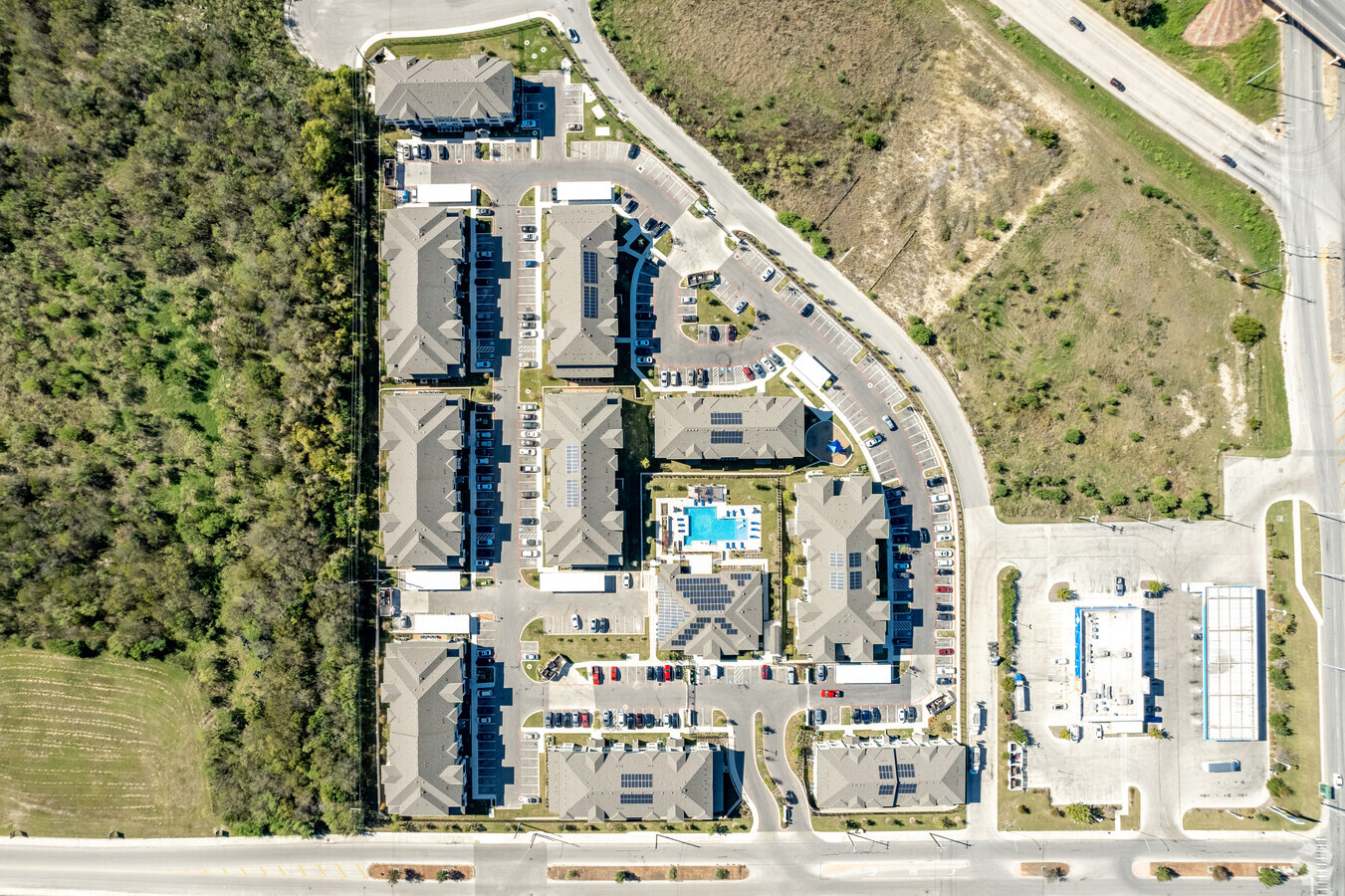
231 E Noblewood Dr
San Antonio-New Braunfels, TX
Ncb 10675 (Alsbury Crossing)
10675-002-0060
NCB 10675 (ALSBURY CROSSING), BLOCK 2 LOT 5 2020 PLAT 20001/828-829 EXE 3/8/19 PER CR #46881
Multifamilydwelling
Bexar
X
Texas
48029C0420G
5
2023
9.65 AC
2023
Eastwood Village
131000
San Antonio
227,759 SF
DEMOGRAPHICS near 231 E Noblewood Dr
1 Mile
3 Mile
5 Mile
2024 Total Population
10,744
70,560
239,408
2029 Population
11,604
75,849
257,358
Pop Growth 2024-2029
+ 8.00%
+ 7.50%
+ 7.50%
Average Age
35
36
37
2024 Total Households
3,671
23,697
88,852
HH Growth 2024-2029
+ 8.04%
+ 7.62%
+ 7.83%
Median Household Inc
$34,275
$36,437
$48,061
Avg Household Size
2.80
2.80
2.50
2024 Avg HH Vehicles
2.00
2.00
2.00
Median Home Value
$94,579
$130,476
$171,302
Median Year Built
1966
1966
1971
Nearby Places
- Restaurants
- Banks
- Shops
- Fitness
- Groceries
PUBLIC TRANSPORTATION
COMMUTER RAIL
San Antonio Amtrak Station (Sunset Limited - Amtrak, Texas Eagle - Amtrak)
DRIVE
WALK
Distance
San Antonio Amtrak Station (Sunset Limited - Amtrak, Texas Eagle - Amtrak)
7 min
4.0 mi
AIRPORT
San Antonio International
DRIVE
WALK
Distance
San Antonio International
17 min
11.9 mi
Freight Ports
Calhoun Port
DRIVE
WALK
Distance
Calhoun Port
174 min
142.9 mi
Nearby Properties
Address
Land Use
TOTAL SIZE
Lot Size
Zoning
Address
Land Use
TOTAL SIZE
Lot Size
Zoning
2,544.56 AC
Address
Land Use
TOTAL SIZE
Lot Size
Zoning
397,806 SF
15.08 AC
Address
Land Use
TOTAL SIZE
Lot Size
Zoning
35.76 AC
Address
Land Use
TOTAL SIZE
Lot Size
Zoning
359,459 SF
15.81 AC
Address
Land Use
TOTAL SIZE
Lot Size
Zoning
71,253 SF
25.52 AC
Address
Land Use
TOTAL SIZE
Lot Size
Zoning
387,440 SF
27.71 AC
Address
Land Use
TOTAL SIZE
Lot Size
Zoning
Address
Land Use
TOTAL SIZE
Lot Size
Zoning
300,555 SF
29.35 AC
Address
Land Use
TOTAL SIZE
Lot Size
Zoning
300,987 SF
29.07 AC
Address
Land Use
TOTAL SIZE
Lot Size
Zoning
280,365 SF
17.72 AC
Address
Land Use
TOTAL SIZE
Lot Size
Zoning
306,000 SF
20.23 AC
Address
Land Use
TOTAL SIZE
Lot Size
Zoning
33.77 AC
Address
Land Use
TOTAL SIZE
Lot Size
Zoning
208,494 SF
9.63 AC
Address
Land Use
TOTAL SIZE
Lot Size
Zoning
251,680 SF
15.52 AC
Address
Land Use
TOTAL SIZE
Lot Size
Zoning
221,760 SF
7.22 AC
Address
Land Use
TOTAL SIZE
Lot Size
Zoning
25,164 SF
13.31 AC
Address
Land Use
TOTAL SIZE
Lot Size
Zoning
362,280 SF
17.84 AC
Address
Land Use
TOTAL SIZE
Lot Size
Zoning
68,055 SF
18.06 AC
Address
Land Use
TOTAL SIZE
Lot Size
Zoning
189,280 SF
11.46 AC
Address
Land Use
TOTAL SIZE
Lot Size
Zoning
24.75 AC
Address
Land Use
TOTAL SIZE
Lot Size
Zoning
99.85 AC
Address
Land Use
TOTAL SIZE
Lot Size
Zoning
201,672 SF
36.29 AC
Address
Land Use
TOTAL SIZE
Lot Size
Zoning
161,880 SF
12.33 AC
Address
Land Use
TOTAL SIZE
Lot Size
Zoning
12.55 AC
Address
Land Use
TOTAL SIZE
Lot Size
Zoning
199,280 SF
11.50 AC
Address
Land Use
TOTAL SIZE
Lot Size
Zoning
2,499 SF
37.52 AC
Address
Land Use
TOTAL SIZE
Lot Size
Zoning
341,546 SF
26.84 AC
Address
Land Use
TOTAL SIZE
Lot Size
Zoning
224,840 SF
17.27 AC
Address
Land Use
TOTAL SIZE
Lot Size
Zoning
189,620 SF
12.62 AC
Address
Land Use
TOTAL SIZE
Lot Size
Zoning
296,542 SF
26.32 AC
The World's #1 Commercial Real Estate Marketplace
Connect with us
© 2025 CoStar Group
The information above has been obtained from sources believed reliable. While we do not doubt its accuracy we have not verified it and make no guarantee, warranty or representation about it. It is your responsibility to independently confirm its accuracy and completeness. Any projections, opinions, assumptions, or estimates used are for example only and do not represent the current or future performance of the property. The value of this transaction to you depends on tax and other factors which should be evaluated by your tax, financial, and legal advisors. You and your advisors should conduct a careful, independent investigation of the property to determine to your satisfaction the suitability of the property for your needs.