Property Record
2323 Brown Rd, Buford, GA 30519


NEARBY LISTINGS FOR SALE OR LEASE
-
-
View all Buford listings for lease on LoopNet.com
Property Detail
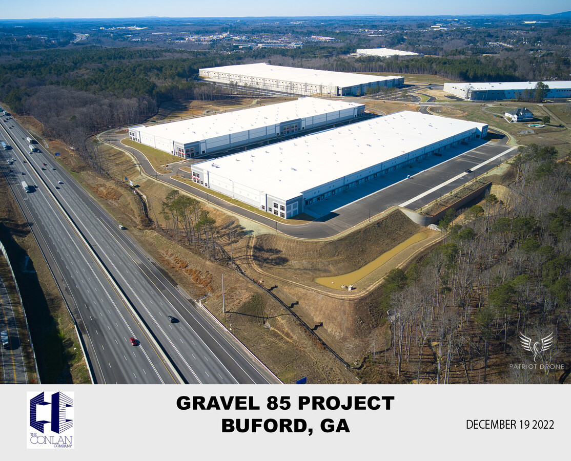
2323 Brown Rd
7-143-001B
Gary D Brown
Storageyardopenstoragelightequipmentmaterial
BROWN RD
X
Gwinnett
13135C0036F
Georgia
2024
51.81 AC
2023
Duluth/Suwanee/Buford
050634
Atlanta
1,400 SF
Atlanta-Sandy Springs-Roswell, GA
DEMOGRAPHICS near 2323 Brown Rd
1 Mile
3 Mile
5 Mile
2024 Total Population
5,828
61,253
154,154
2029 Population
6,282
64,546
162,225
Pop Growth 2024-2029
+ 7.79%
+ 5.38%
+ 5.24%
Average Age
37
38
38
2024 Total Households
1,960
20,224
49,655
HH Growth 2024-2029
+ 7.91%
+ 5.60%
+ 5.40%
Median Household Inc
$72,355
$86,373
$96,827
Avg Household Size
2.90
2.90
3.00
2024 Avg HH Vehicles
2.00
2.00
2.00
Median Home Value
$459,405
$330,363
$335,345
Median Year Built
2010
2003
2001
Nearby Places
- Restaurants
- Banks
- Shops
- Fitness
- Groceries
SALE & LEASE HISTORY
LISTING DATE
SALE/LEASE

Sep 14, 2021
For Lease
Nearby Properties
Address
Land Use
TOTAL SIZE
Lot Size
Zoning
Address
Land Use
TOTAL SIZE
Lot Size
Zoning
1,435,842 SF
83.47 AC
C2
Address
Land Use
TOTAL SIZE
Lot Size
Zoning
432,168 SF
85.71 AC
RA200
Address
Land Use
TOTAL SIZE
Lot Size
Zoning
502,890 SF
41.75 AC
RM13
Address
Land Use
TOTAL SIZE
Lot Size
Zoning
403,129 SF
117.11 AC
RA200
Address
Land Use
TOTAL SIZE
Lot Size
Zoning
391,149 SF
33.93 AC
RM13
Address
Land Use
TOTAL SIZE
Lot Size
Zoning
415,963 SF
48.86 AC
RM10
Address
Land Use
TOTAL SIZE
Lot Size
Zoning
157,916 SF
10.93 AC
MUR-OVERLA
Address
Land Use
TOTAL SIZE
Lot Size
Zoning
328,912 SF
39.27 AC
RM10
Address
Land Use
TOTAL SIZE
Lot Size
Zoning
327,580 SF
7.80 AC
HRR
Address
Land Use
TOTAL SIZE
Lot Size
Zoning
223,096 SF
6.06 AC
MUR
Address
Land Use
TOTAL SIZE
Lot Size
Zoning
283,122 SF
28.90 AC
RM10
Address
Land Use
TOTAL SIZE
Lot Size
Zoning
218,583 SF
2.21 AC
MUO
Address
Land Use
TOTAL SIZE
Lot Size
Zoning
282,630 SF
11.83 AC
M1
Address
Land Use
TOTAL SIZE
Lot Size
Zoning
177,680 SF
7.13 AC
OI
Address
Land Use
TOTAL SIZE
Lot Size
Zoning
75,537 SF
29.14 AC
C2-GENERAL
Address
Land Use
TOTAL SIZE
Lot Size
Zoning
186,270 SF
17.39 AC
RA200
Address
Land Use
TOTAL SIZE
Lot Size
Zoning
122,983 SF
7.97 AC
OI-OFFICE-
Address
Land Use
TOTAL SIZE
Lot Size
Zoning
422,933 SF
42.35 AC
M1
Address
Land Use
TOTAL SIZE
Lot Size
Zoning
10.02 AC
C2
Address
Land Use
TOTAL SIZE
Lot Size
Zoning
207,701 SF
43.70 AC
M1-LIGHT I
Address
Land Use
TOTAL SIZE
Lot Size
Zoning
329,765 SF
16.52 AC
C2-GENERAL
Address
Land Use
TOTAL SIZE
Lot Size
Zoning
300,176 SF
16.97 AC
RM10
Address
Land Use
TOTAL SIZE
Lot Size
Zoning
94,830 SF
24.78 AC
R140-SINGL
Address
Land Use
TOTAL SIZE
Lot Size
Zoning
371,843 SF
35.60 AC
M1
Address
Land Use
TOTAL SIZE
Lot Size
Zoning
353,241 SF
33.16 AC
C2
Address
Land Use
TOTAL SIZE
Lot Size
Zoning
88,704 SF
66.08 AC
M1
Address
Land Use
TOTAL SIZE
Lot Size
Zoning
158,307 SF
26.77 AC
R75
Address
Land Use
TOTAL SIZE
Lot Size
Zoning
211,164 SF
16.37 AC
RM24
Address
Land Use
TOTAL SIZE
Lot Size
Zoning
157,766 SF
20.92 AC
R75
The World's #1 Commercial Real Estate Marketplace
Connect with us
© 2025 CoStar Group
The information above has been obtained from sources believed reliable. While we do not doubt its accuracy we have not verified it and make no guarantee, warranty or representation about it. It is your responsibility to independently confirm its accuracy and completeness. Any projections, opinions, assumptions, or estimates used are for example only and do not represent the current or future performance of the property. The value of this transaction to you depends on tax and other factors which should be evaluated by your tax, financial, and legal advisors. You and your advisors should conduct a careful, independent investigation of the property to determine to your satisfaction the suitability of the property for your needs.