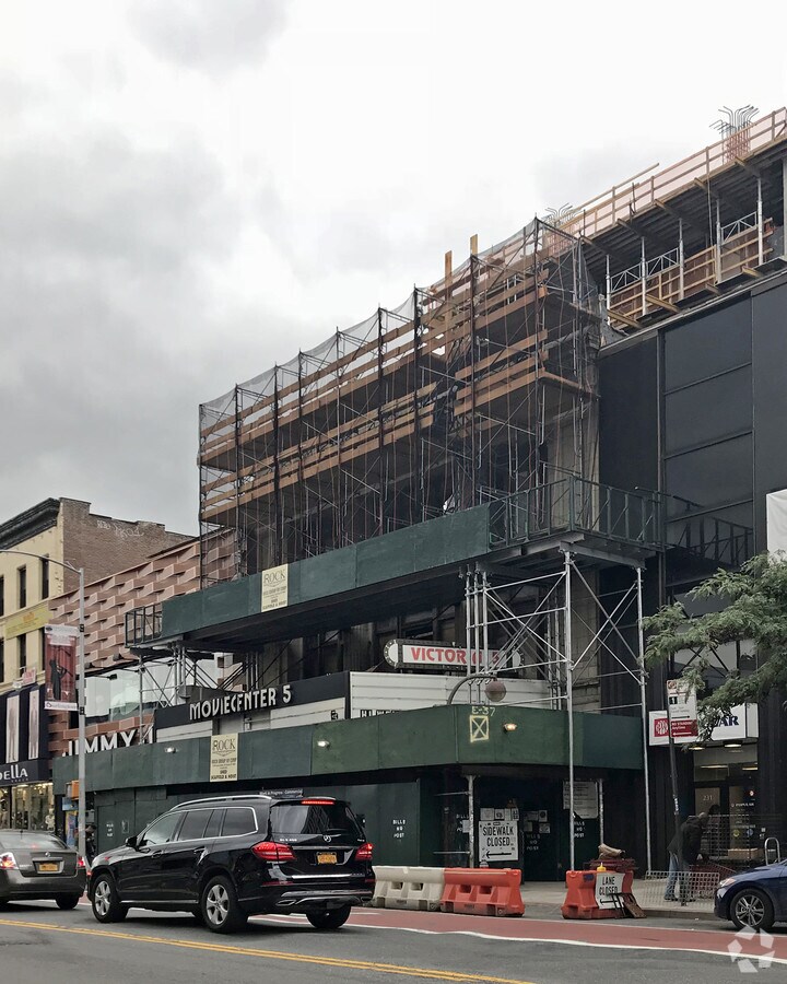
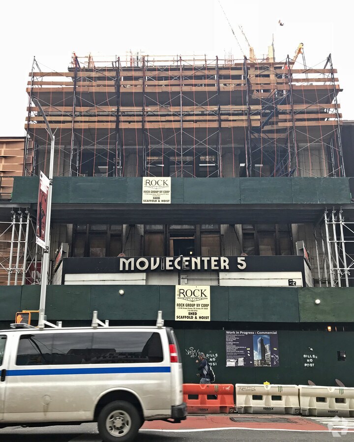
Property Record
233 W 125Th St, New York, NY 10027
NEARBY LISTINGS FOR SALE OR LEASE
Property Detail
233 W 125Th St
1931-0017
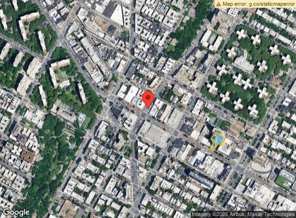
Manhattan
Apartment
New York
X
17
3604970087F
0.46 AC
0
Harlem/North Manhattan
2024
New York City
025700
New York-Jersey City-White Plains, NY-NJ
394,804 SF
DEMOGRAPHICS near 233 W 125Th St
1 Mile
3 Mile
5 Mile
2024 Total Population
213,923
1,193,724
2,528,116
2029 Population
197,512
1,109,523
2,365,319
Pop Growth 2024-2029
(7.67%)
(7.05%)
(6.44%)
Average Age
40
40
40
2024 Total Households
88,999
500,585
1,057,263
HH Growth 2024-2029
(7.85%)
(7.45%)
(6.79%)
Median Household Inc
$47,890
$60,756
$65,141
Avg Household Size
2.20
2.20
2.30
2024 Avg HH Vehicles
.00
.00
.00
Median Home Value
$811,859
$853,328
$779,692
Median Year Built
1952
1953
1956
Nearby Places
- Restaurants
- Banks
- Shops
- Fitness
- Groceries
PUBLIC TRANSPORTATION
TRANSIT/SUBWAY
125 Street (A,B,C,D Line) (A - New York MTA Subway (The Subway), B - New York MTA Subway (The Subway), C - New York MTA Subway (The Subway), D - New York MTA Subway (The Subway))
Drive
Walk
Distance
125 Street (A,B,C,D Line) (A - New York MTA Subway (The Subway), B - New York MTA Subway (The Subway), C - New York MTA Subway (The Subway), D - New York MTA Subway (The Subway))
0 min
0 min
0.0 mi
125 Street (2,3 Line) (2 - New York MTA Subway (The Subway), 3 - New York MTA Subway (The Subway))
Drive
Walk
Distance
125 Street (2,3 Line) (2 - New York MTA Subway (The Subway), 3 - New York MTA Subway (The Subway))
1 min
8 min
0.4 mi
125 Street (1 Line) (1 - New York MTA Subway (The Subway))
Drive
Walk
Distance
125 Street (1 Line) (1 - New York MTA Subway (The Subway))
0 min
9 min
0.5 mi
135 Street (A,B,C Line) (A - New York MTA Subway (The Subway), B - New York MTA Subway (The Subway), C - New York MTA Subway (The Subway))
Drive
Walk
Distance
135 Street (A,B,C Line) (A - New York MTA Subway (The Subway), B - New York MTA Subway (The Subway), C - New York MTA Subway (The Subway))
1 min
9 min
0.5 mi
116 Street (A,B,C Line) (A - New York MTA Subway (The Subway), B - New York MTA Subway (The Subway), C - New York MTA Subway (The Subway))
Drive
Walk
Distance
116 Street (A,B,C Line) (A - New York MTA Subway (The Subway), B - New York MTA Subway (The Subway), C - New York MTA Subway (The Subway))
1 min
9 min
0.5 mi
COMMUTER RAIL
Harlem-125Th Street Station (Harlem Line - Metro-North Commuter Railroad Company (Metro-North), Hudson Line - Metro-North Commuter Railroad Company (Metro-North), New Haven Line - Metro-North Commuter Railroad Company (Metro-North))
Drive
Walk
Distance
Harlem-125Th Street Station (Harlem Line - Metro-North Commuter Railroad Company (Metro-North), Hudson Line - Metro-North Commuter Railroad Company (Metro-North), New Haven Line - Metro-North Commuter Railroad Company (Metro-North))
2 min
16 min
0.8 mi
Yankees-E 153Rd Street Station (Hudson Line - Metro-North Commuter Railroad Company (Metro-North))
Drive
Walk
Distance
Yankees-E 153Rd Street Station (Hudson Line - Metro-North Commuter Railroad Company (Metro-North))
6 min
2.4 mi
AIRPORT
Laguardia
Drive
Walk
Distance
Laguardia
14 min
6.7 mi
John F Kennedy International
Drive
Walk
Distance
John F Kennedy International
27 min
18.0 mi
Newark Liberty International
Drive
Walk
Distance
Newark Liberty International
28 min
23.2 mi
Freight Ports
NY - Red Hook Container Terminal
Drive
Walk
Distance
NY - Red Hook Container Terminal
27 min
12.9 mi
Nearby Properties
Address
Land Use
TOTAL SIZE
Lot Size
Zoning
Address
Land Use
TOTAL SIZE
Lot Size
Zoning
1,290,000 SF
14.56 AC
PARK
Address
Land Use
TOTAL SIZE
Lot Size
Zoning
1,233,684 SF
16.94 AC
PARK
Address
Land Use
TOTAL SIZE
Lot Size
Zoning
3,693,539 SF
8.37 AC
R8
Address
Land Use
TOTAL SIZE
Lot Size
Zoning
366,614 SF
4.24 AC
LAC4
Address
Land Use
TOTAL SIZE
Lot Size
Zoning
400,160 SF
10.96 AC
R7-2
Address
Land Use
TOTAL SIZE
Lot Size
Zoning
2,215,000 SF
6.43 AC
R9
Address
Land Use
TOTAL SIZE
Lot Size
Zoning
174 AC
P2
Address
Land Use
TOTAL SIZE
Lot Size
Zoning
26.93 AC
R8
Address
Land Use
TOTAL SIZE
Lot Size
Zoning
1,368,870 SF
16.86 AC
R8
Address
Land Use
TOTAL SIZE
Lot Size
Zoning
2,278,432 SF
5.98 AC
R7-2
Address
Land Use
TOTAL SIZE
Lot Size
Zoning
1,267,362 SF
1.71 AC
R7-2
Address
Land Use
TOTAL SIZE
Lot Size
Zoning
755,000 SF
1.85 AC
R7-2
Address
Land Use
TOTAL SIZE
Lot Size
Zoning
4,000 SF
57.37 AC
BPC
Address
Land Use
TOTAL SIZE
Lot Size
Zoning
4.87 AC
R11
Address
Land Use
TOTAL SIZE
Lot Size
Zoning
873,000 SF
9.95 AC
R7-2
Address
Land Use
TOTAL SIZE
Lot Size
Zoning
1,651,267 SF
1.23 AC
R8
Address
Land Use
TOTAL SIZE
Lot Size
Zoning
45.60 AC
Address
Land Use
TOTAL SIZE
Lot Size
Zoning
7.64 AC
Address
Land Use
TOTAL SIZE
Lot Size
Zoning
Address
Land Use
TOTAL SIZE
Lot Size
Zoning
1,075,000 SF
6.74 AC
R7-2
Address
Land Use
TOTAL SIZE
Lot Size
Zoning
2.61 AC
D5
Address
Land Use
TOTAL SIZE
Lot Size
Zoning
775,241 SF
1.87 AC
R8B
Address
Land Use
TOTAL SIZE
Lot Size
Zoning
478,842 SF
3.56 AC
C6-1
Address
Land Use
TOTAL SIZE
Lot Size
Zoning
661,538 SF
11.26 AC
R7-2
Address
Land Use
TOTAL SIZE
Lot Size
Zoning
8.60 AC
P1
Address
Land Use
TOTAL SIZE
Lot Size
Zoning
305,404 SF
0.40 AC
LAC2
Address
Land Use
TOTAL SIZE
Lot Size
Zoning
542,584 SF
0.29 AC
C6-6
Address
Land Use
TOTAL SIZE
Lot Size
Zoning
4.40 AC
Address
Land Use
TOTAL SIZE
Lot Size
Zoning
3.60 AC
OR1
Address
Land Use
TOTAL SIZE
Lot Size
Zoning
2,056 SF
0.06 AC
R1
Start a new search to find other properties for sale or lease
Connect with us
© 2024 CoStar Group
The information above has been obtained from sources believed reliable. While we do not doubt its accuracy we have not verified it and make no guarantee, warranty or representation about it. It is your responsibility to independently confirm its accuracy and completeness. Any projections, opinions, assumptions, or estimates used are for example only and do not represent the current or future performance of the property. The value of this transaction to you depends on tax and other factors which should be evaluated by your tax, financial, and legal advisors. You and your advisors should conduct a careful, independent investigation of the property to determine to your satisfaction the suitability of the property for your needs.